Lindy is an unincorporated community and census-designated place located on the Santee Sioux Reservation in Knox County, in the northeastern part of the state of Nebraska in the Midwestern United States. As of the 2010 census it had a population of 13.
| Name: | Lindy CDP |
|---|---|
| LSAD Code: | 57 |
| LSAD Description: | CDP (suffix) |
| State: | Nebraska |
| County: | Knox County |
| Elevation: | 1,611 ft (491 m) |
| Total Area: | 1.00 sq mi (2.59 km²) |
| Land Area: | 1.00 sq mi (2.59 km²) |
| Water Area: | 0.00 sq mi (0.00 km²) |
| Total Population: | 13 |
| Population Density: | 13.03/sq mi (5.03/km²) |
| ZIP code: | 68718 |
| Area code: | 402 |
| FIPS code: | 3128140 |
| GNISfeature ID: | 830745 |
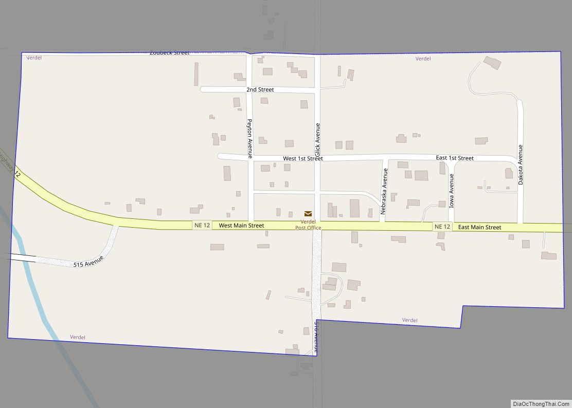
Online Interactive Map
Click on ![]() to view map in "full screen" mode.
to view map in "full screen" mode.
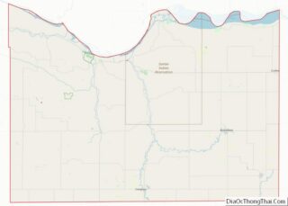
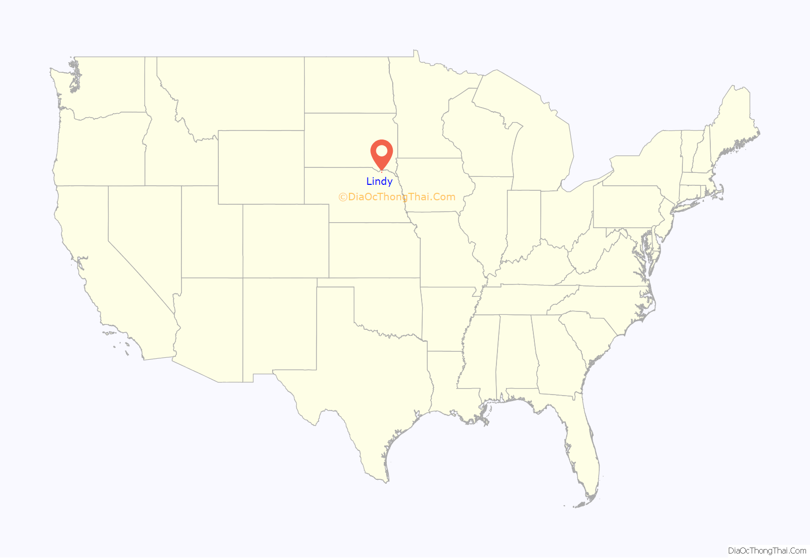
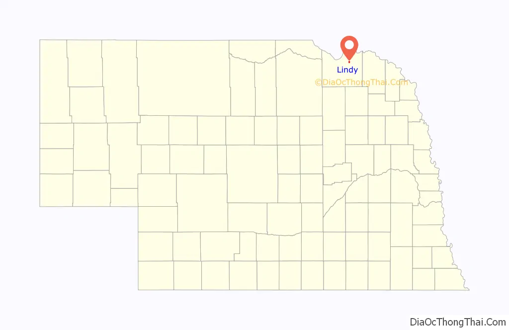
Lindy location map. Where is Lindy CDP?
History
Lindy was established late in the state’s history. The townsite was surveyed in 1928, in response to demand for a local marketing and shopping center. Development was further encouraged by a rumor, which later proved unfounded, suggesting that a railroad line might be built through the area. The new town was named after Charles Lindbergh, nicknamed “Lucky Lindy”, who the year before had made his celebrated non-stop solo flight from New York to Paris.
During its heyday, Lindy had a number of businesses, including a hardware store, a barbershop, an ice-cream parlor, a blacksmith shop, and an electrical-appliances shop. It also boasted a large hall with a full basement for a garage, a dance hall and movie theater on the second floor, and office and living space on the third. This building was dismantled in 1944. From 1944 to 1958, the local Addison Telephone Company operated out of Lindy.
In later years, Lindy’s population declined and its businesses closed. In 1978, it had a population of 38. In the late 1980s and early 1990s, the town’s feed store, general store, and gas pumps were shut down or moved away. By 2002, there were 13 residents.
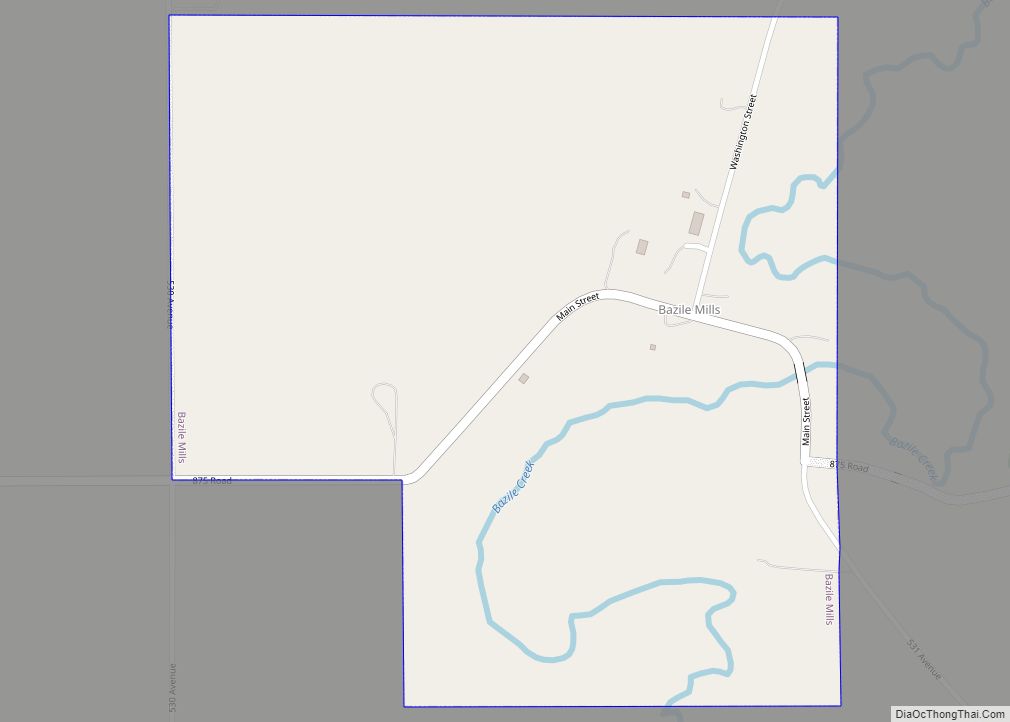
Lindy Road Map

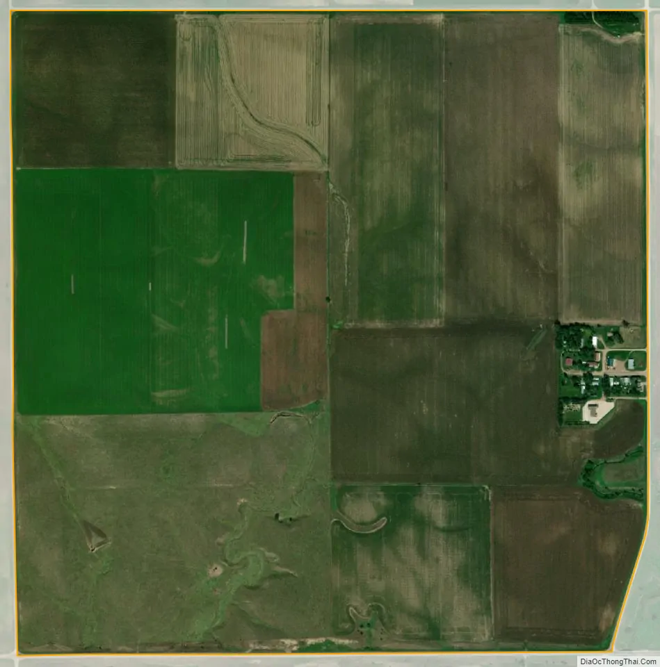
Lindy city Satellite Map
Geography
Lindy is in northeastern Knox County, 7 miles (11 km) south of the Missouri River and the South Dakota border. Nebraska Highway 12 forms the southern edge of the community; the highway leads east 12 miles (19 km) to Crofton and west 15 miles (24 km) to Niobrara.
According to the U.S. Census Bureau, the Lindy CDP has an area of 1.00 square mile (2.59 km), all land. The community is in the valley of Hoboe Creek, a southwest-flowing tributary of Howe Creek, which in turn flows west to Bazile Creek, a north-flowing tributary of the Missouri River.
See also
Map of Nebraska State and its subdivision:- Adams
- Antelope
- Arthur
- Banner
- Blaine
- Boone
- Box Butte
- Boyd
- Brown
- Buffalo
- Burt
- Butler
- Cass
- Cedar
- Chase
- Cherry
- Cheyenne
- Clay
- Colfax
- Cuming
- Custer
- Dakota
- Dawes
- Dawson
- Deuel
- Dixon
- Dodge
- Douglas
- Dundy
- Fillmore
- Franklin
- Frontier
- Furnas
- Gage
- Garden
- Garfield
- Gosper
- Grant
- Greeley
- Hall
- Hamilton
- Harlan
- Hayes
- Hitchcock
- Holt
- Hooker
- Howard
- Jefferson
- Johnson
- Kearney
- Keith
- Keya Paha
- Kimball
- Knox
- Lancaster
- Lincoln
- Logan
- Loup
- Madison
- McPherson
- Merrick
- Morrill
- Nance
- Nemaha
- Nuckolls
- Otoe
- Pawnee
- Perkins
- Phelps
- Pierce
- Platte
- Polk
- Red Willow
- Richardson
- Rock
- Saline
- Sarpy
- Saunders
- Scotts Bluff
- Seward
- Sheridan
- Sherman
- Sioux
- Stanton
- Thayer
- Thomas
- Thurston
- Valley
- Washington
- Wayne
- Webster
- Wheeler
- York
- Alabama
- Alaska
- Arizona
- Arkansas
- California
- Colorado
- Connecticut
- Delaware
- District of Columbia
- Florida
- Georgia
- Hawaii
- Idaho
- Illinois
- Indiana
- Iowa
- Kansas
- Kentucky
- Louisiana
- Maine
- Maryland
- Massachusetts
- Michigan
- Minnesota
- Mississippi
- Missouri
- Montana
- Nebraska
- Nevada
- New Hampshire
- New Jersey
- New Mexico
- New York
- North Carolina
- North Dakota
- Ohio
- Oklahoma
- Oregon
- Pennsylvania
- Rhode Island
- South Carolina
- South Dakota
- Tennessee
- Texas
- Utah
- Vermont
- Virginia
- Washington
- West Virginia
- Wisconsin
- Wyoming