Lodgepole is a village in Cheyenne County, Nebraska, United States. The population was 318 at the 2010 census.
| Name: | Lodgepole village |
|---|---|
| LSAD Code: | 47 |
| LSAD Description: | village (suffix) |
| State: | Nebraska |
| County: | Cheyenne County |
| Elevation: | 3,845 ft (1,172 m) |
| Total Area: | 0.48 sq mi (1.24 km²) |
| Land Area: | 0.48 sq mi (1.24 km²) |
| Water Area: | 0.00 sq mi (0.00 km²) |
| Total Population: | 312 |
| Population Density: | 654.09/sq mi (252.38/km²) |
| ZIP code: | 69149 |
| Area code: | 308 |
| FIPS code: | 3128420 |
| GNISfeature ID: | 0830810 |
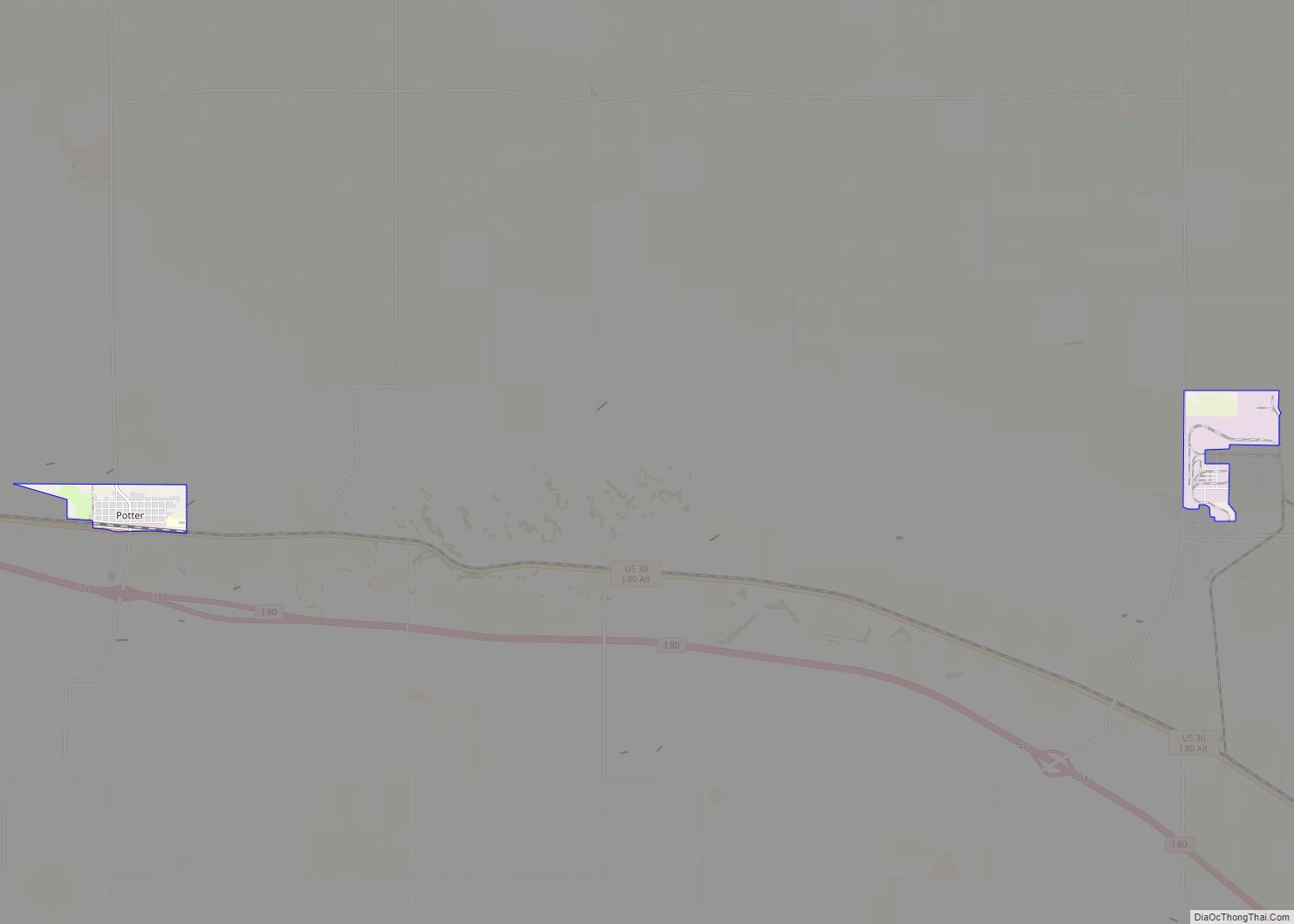
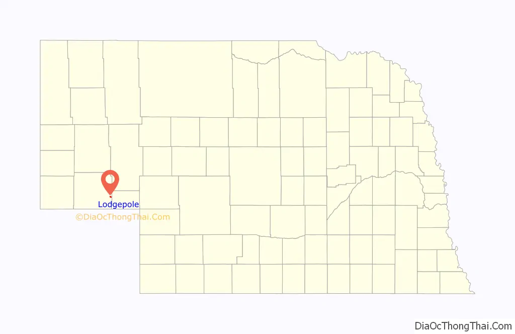
Online Interactive Map
Click on ![]() to view map in "full screen" mode.
to view map in "full screen" mode.
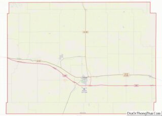
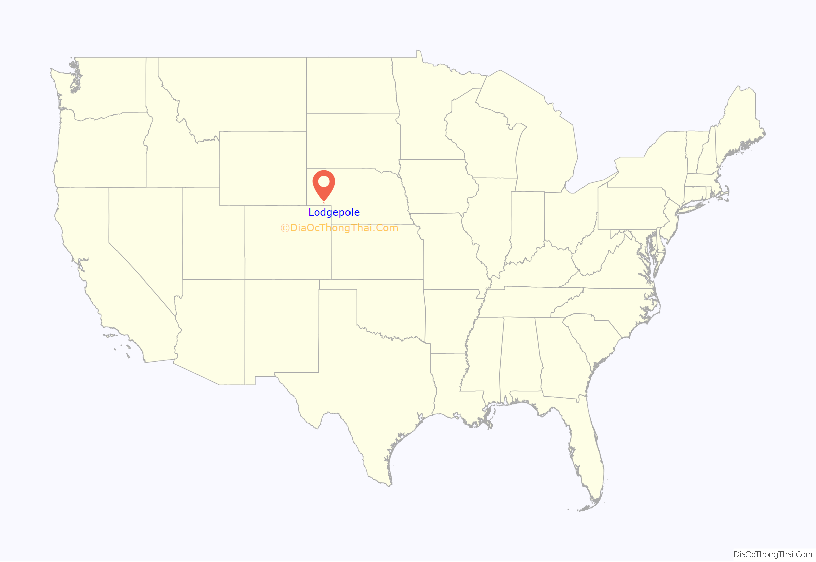
Lodgepole location map. Where is Lodgepole village?
History
Lodgepole was founded in 1867 when the Union Pacific Railroad was extended to that point. It took its name from Lodgepole Creek, where it was assumed the Native Americans had cut trees to make poles for their lodges.
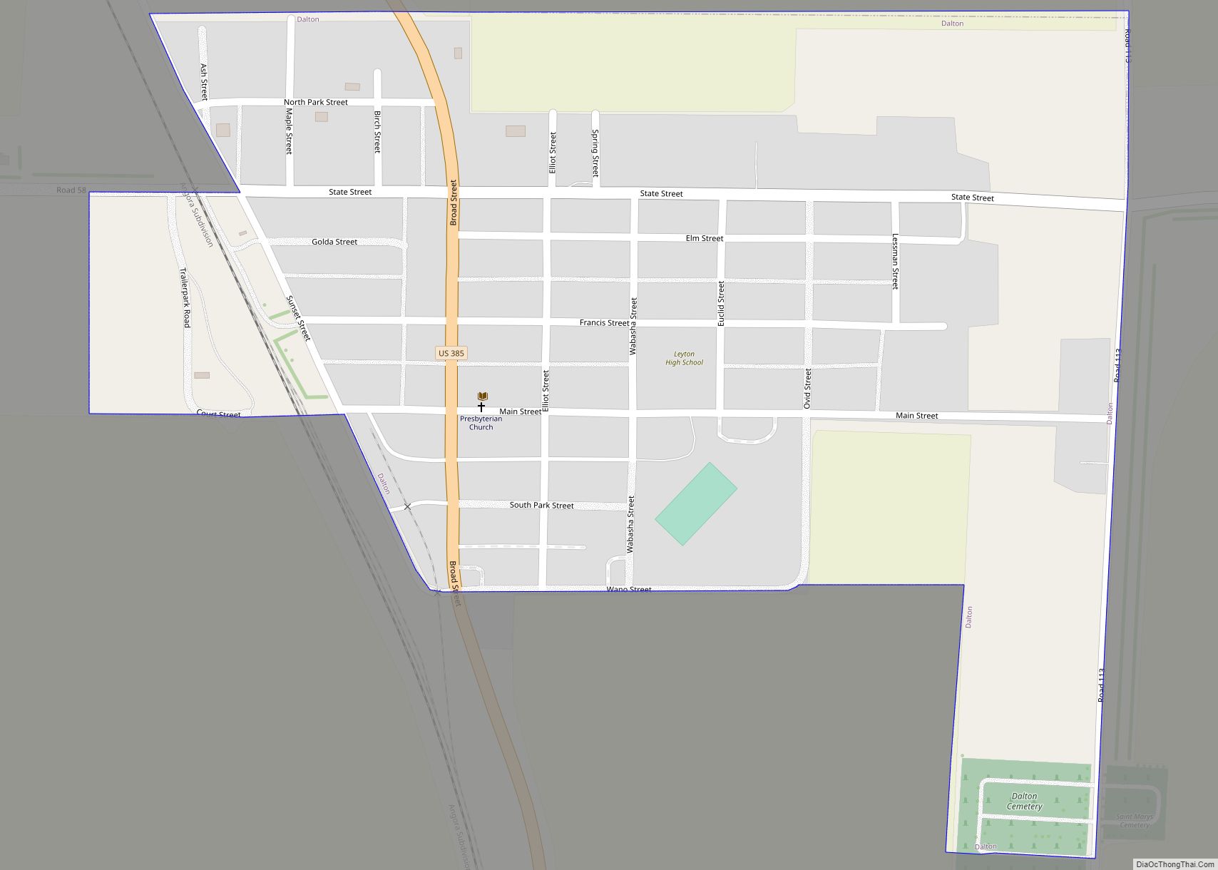
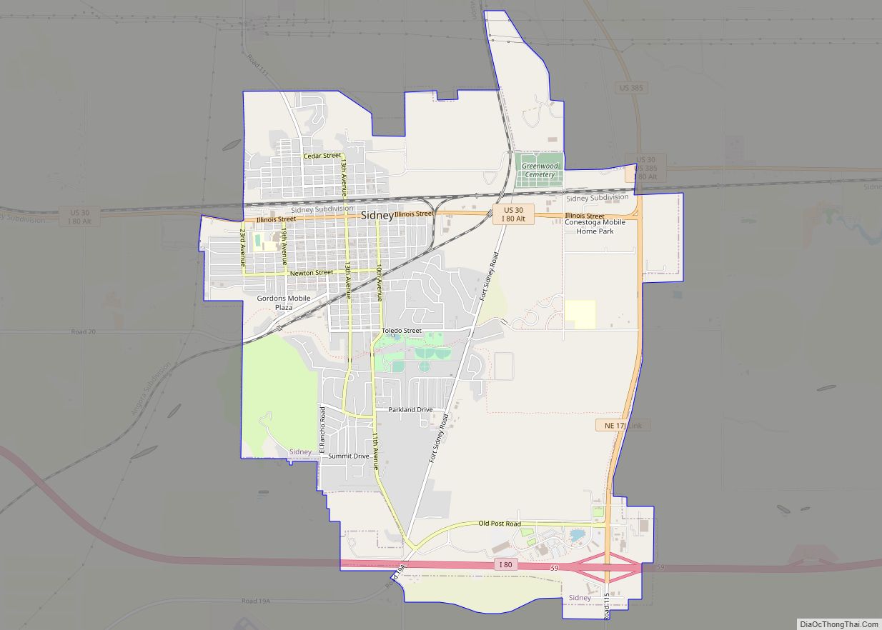
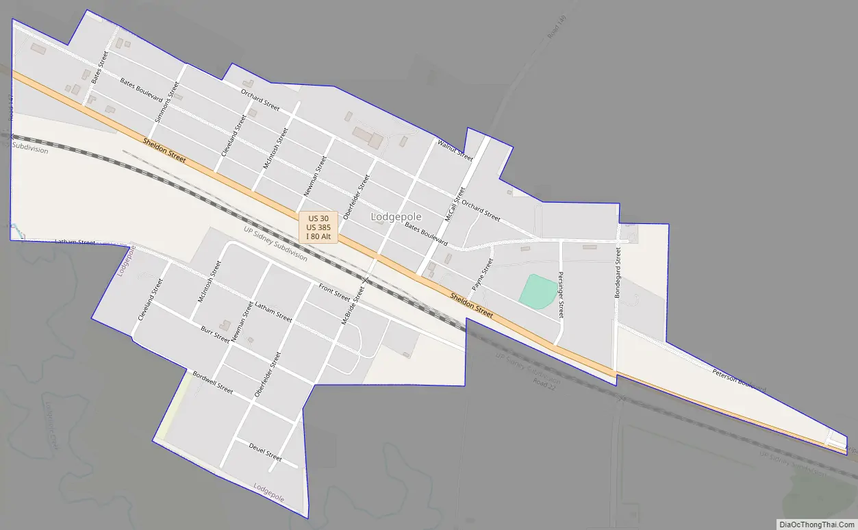
Lodgepole Road Map
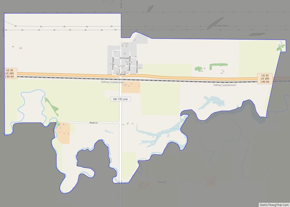
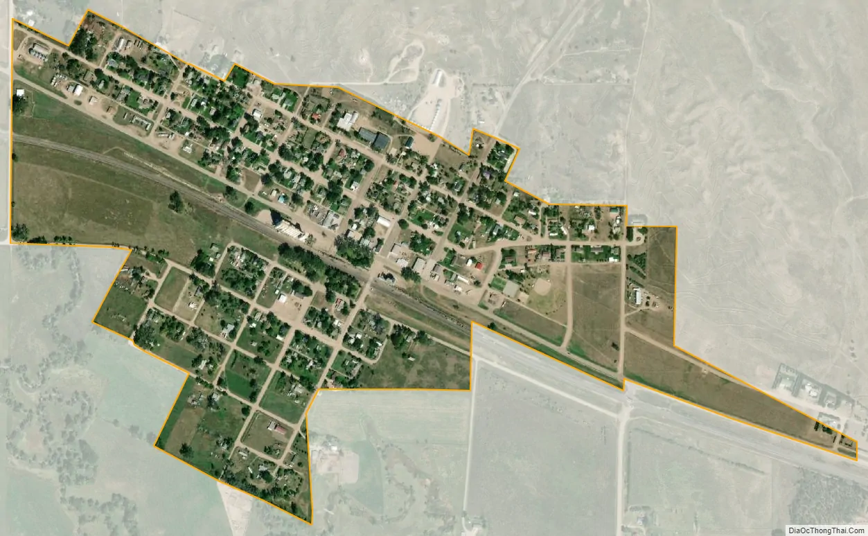
Lodgepole city Satellite Map
Geography
Lodgepole is located at 41°8′54″N 102°38′20″W / 41.14833°N 102.63889°W / 41.14833; -102.63889 (41.148472, -102.638791).
According to the United States Census Bureau, the village has a total area of 0.48 square miles (1.24 km), all land.
Climate
See also
Map of Nebraska State and its subdivision:- Adams
- Antelope
- Arthur
- Banner
- Blaine
- Boone
- Box Butte
- Boyd
- Brown
- Buffalo
- Burt
- Butler
- Cass
- Cedar
- Chase
- Cherry
- Cheyenne
- Clay
- Colfax
- Cuming
- Custer
- Dakota
- Dawes
- Dawson
- Deuel
- Dixon
- Dodge
- Douglas
- Dundy
- Fillmore
- Franklin
- Frontier
- Furnas
- Gage
- Garden
- Garfield
- Gosper
- Grant
- Greeley
- Hall
- Hamilton
- Harlan
- Hayes
- Hitchcock
- Holt
- Hooker
- Howard
- Jefferson
- Johnson
- Kearney
- Keith
- Keya Paha
- Kimball
- Knox
- Lancaster
- Lincoln
- Logan
- Loup
- Madison
- McPherson
- Merrick
- Morrill
- Nance
- Nemaha
- Nuckolls
- Otoe
- Pawnee
- Perkins
- Phelps
- Pierce
- Platte
- Polk
- Red Willow
- Richardson
- Rock
- Saline
- Sarpy
- Saunders
- Scotts Bluff
- Seward
- Sheridan
- Sherman
- Sioux
- Stanton
- Thayer
- Thomas
- Thurston
- Valley
- Washington
- Wayne
- Webster
- Wheeler
- York
- Alabama
- Alaska
- Arizona
- Arkansas
- California
- Colorado
- Connecticut
- Delaware
- District of Columbia
- Florida
- Georgia
- Hawaii
- Idaho
- Illinois
- Indiana
- Iowa
- Kansas
- Kentucky
- Louisiana
- Maine
- Maryland
- Massachusetts
- Michigan
- Minnesota
- Mississippi
- Missouri
- Montana
- Nebraska
- Nevada
- New Hampshire
- New Jersey
- New Mexico
- New York
- North Carolina
- North Dakota
- Ohio
- Oklahoma
- Oregon
- Pennsylvania
- Rhode Island
- South Carolina
- South Dakota
- Tennessee
- Texas
- Utah
- Vermont
- Virginia
- Washington
- West Virginia
- Wisconsin
- Wyoming