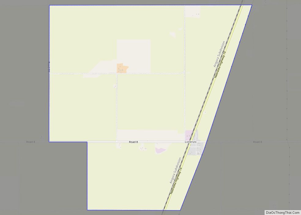
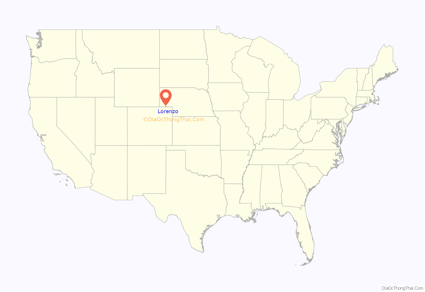
Lorenzo is an unincorporated community and census-designated place in Cheyenne County, Nebraska, United States.< As of the 2010 census, it had a population of 58. Lorenzo is located on Nebraska Highway 19, 10 miles (16 km) southwest of Sidney, the county seat, and 3.5 miles (5.6 km) north of the Colorado border.
| Name: | Lorenzo CDP |
|---|---|
| LSAD Code: | 57 |
| LSAD Description: | CDP (suffix) |
| State: | Nebraska |
| County: | Cheyenne County |
| Elevation: | 4,393 ft (1,339 m) |
| Total Area: | 6.84 sq mi (17.71 km²) |
| Land Area: | 6.84 sq mi (17.71 km²) |
| Water Area: | 0.00 sq mi (0.00 km²) |
| Total Population: | 36 |
| Population Density: | 5.27/sq mi (2.03/km²) |
| ZIP code: | 69162 |
| FIPS code: | 3129120 |
| GNISfeature ID: | 830892 |
Online Interactive Map
Click on ![]() to view map in "full screen" mode.
to view map in "full screen" mode.
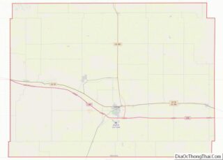
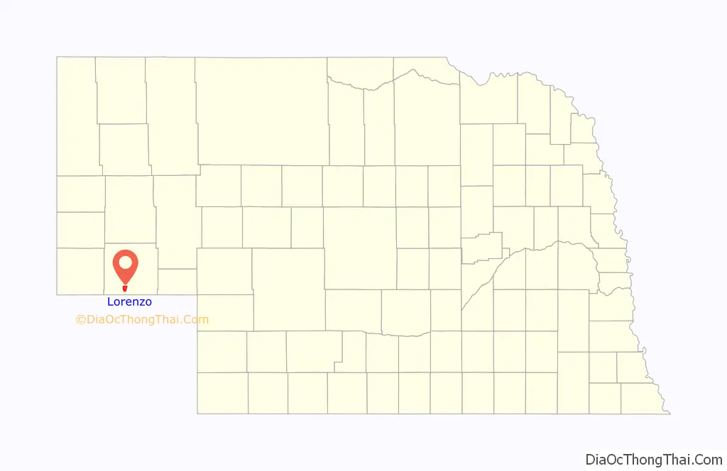
Lorenzo location map. Where is Lorenzo CDP?
History
Lorenzo was a depot on the Chicago, Burlington and Quincy Railroad. A post office was established at Lorenzo in 1916, and remained in operation until it was discontinued in 1933.
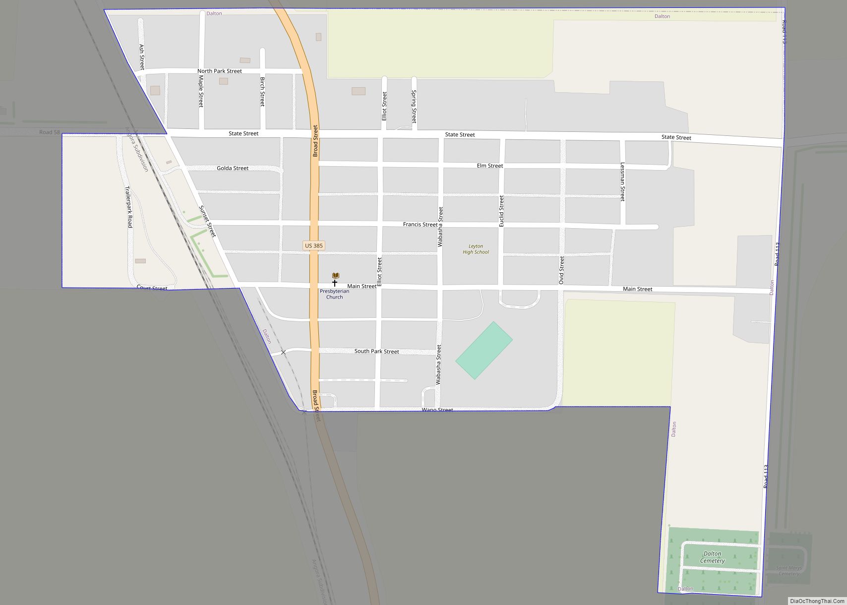
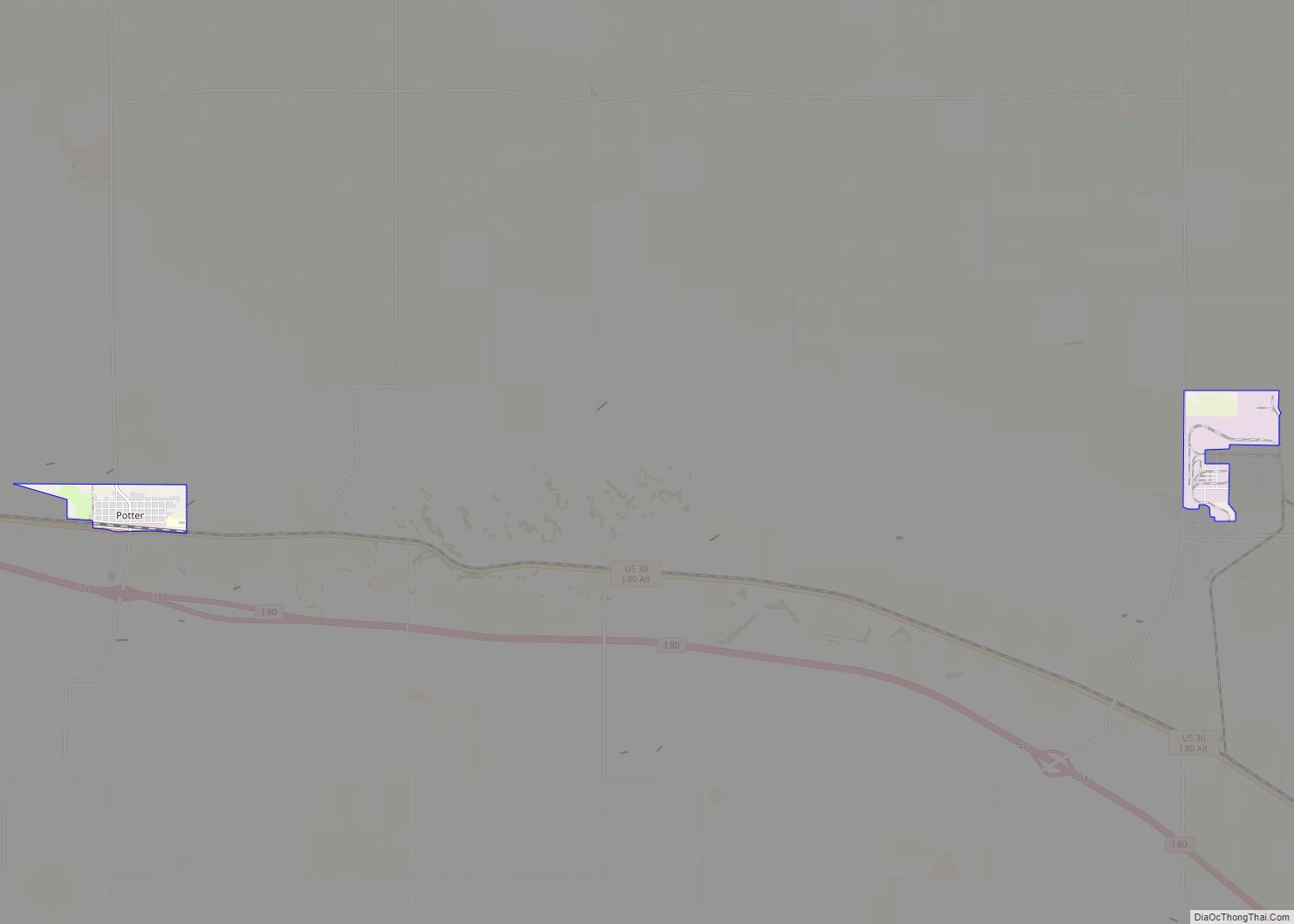
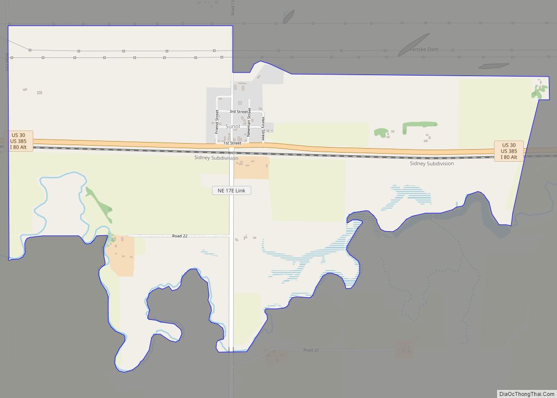
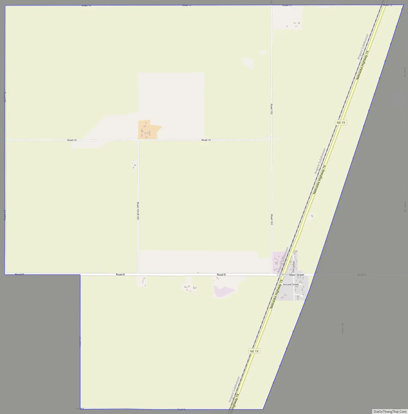
Lorenzo Road Map
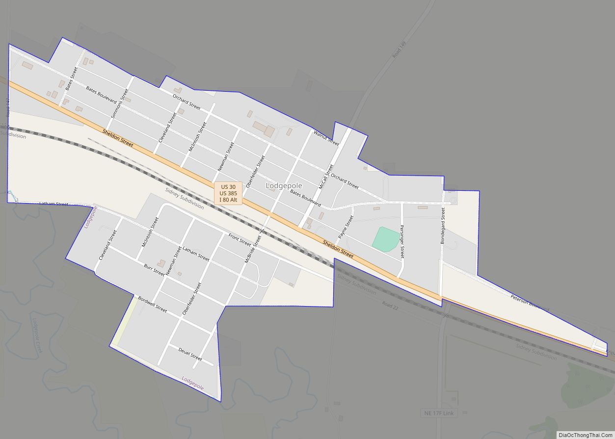
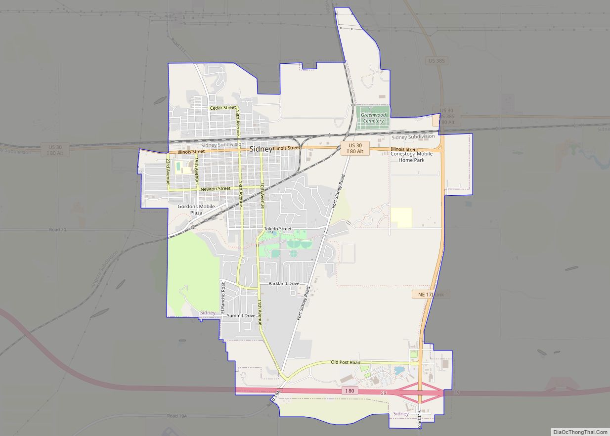
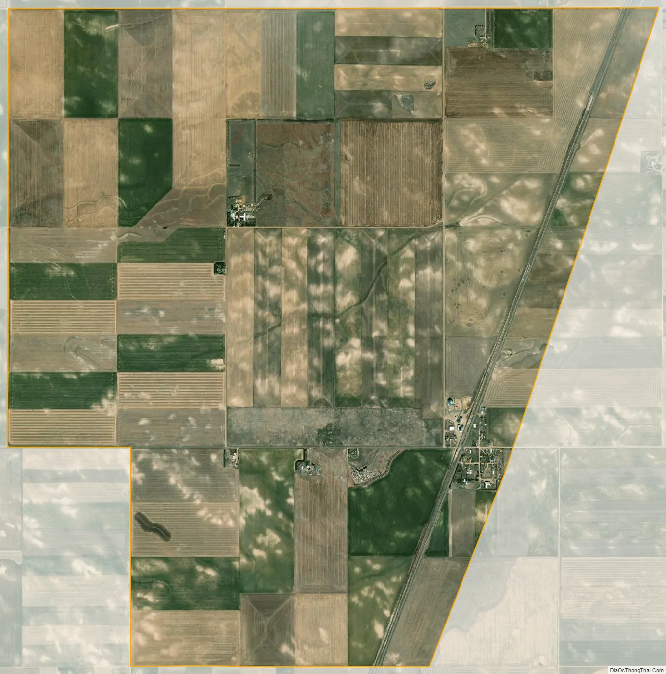
Lorenzo city Satellite Map
See also
Map of Nebraska State and its subdivision:- Adams
- Antelope
- Arthur
- Banner
- Blaine
- Boone
- Box Butte
- Boyd
- Brown
- Buffalo
- Burt
- Butler
- Cass
- Cedar
- Chase
- Cherry
- Cheyenne
- Clay
- Colfax
- Cuming
- Custer
- Dakota
- Dawes
- Dawson
- Deuel
- Dixon
- Dodge
- Douglas
- Dundy
- Fillmore
- Franklin
- Frontier
- Furnas
- Gage
- Garden
- Garfield
- Gosper
- Grant
- Greeley
- Hall
- Hamilton
- Harlan
- Hayes
- Hitchcock
- Holt
- Hooker
- Howard
- Jefferson
- Johnson
- Kearney
- Keith
- Keya Paha
- Kimball
- Knox
- Lancaster
- Lincoln
- Logan
- Loup
- Madison
- McPherson
- Merrick
- Morrill
- Nance
- Nemaha
- Nuckolls
- Otoe
- Pawnee
- Perkins
- Phelps
- Pierce
- Platte
- Polk
- Red Willow
- Richardson
- Rock
- Saline
- Sarpy
- Saunders
- Scotts Bluff
- Seward
- Sheridan
- Sherman
- Sioux
- Stanton
- Thayer
- Thomas
- Thurston
- Valley
- Washington
- Wayne
- Webster
- Wheeler
- York
- Alabama
- Alaska
- Arizona
- Arkansas
- California
- Colorado
- Connecticut
- Delaware
- District of Columbia
- Florida
- Georgia
- Hawaii
- Idaho
- Illinois
- Indiana
- Iowa
- Kansas
- Kentucky
- Louisiana
- Maine
- Maryland
- Massachusetts
- Michigan
- Minnesota
- Mississippi
- Missouri
- Montana
- Nebraska
- Nevada
- New Hampshire
- New Jersey
- New Mexico
- New York
- North Carolina
- North Dakota
- Ohio
- Oklahoma
- Oregon
- Pennsylvania
- Rhode Island
- South Carolina
- South Dakota
- Tennessee
- Texas
- Utah
- Vermont
- Virginia
- Washington
- West Virginia
- Wisconsin
- Wyoming