Naponee (Mississauga: naapanne; “flour”) is a village in Franklin County, Nebraska, United States. The population was 106 at the 2010 census.
| Name: | Naponee village |
|---|---|
| LSAD Code: | 47 |
| LSAD Description: | village (suffix) |
| State: | Nebraska |
| County: | Franklin County |
| Elevation: | 1,919 ft (585 m) |
| Total Area: | 0.23 sq mi (0.60 km²) |
| Land Area: | 0.23 sq mi (0.60 km²) |
| Water Area: | 0.00 sq mi (0.00 km²) |
| Total Population: | 83 |
| Population Density: | 359.31/sq mi (139.00/km²) |
| ZIP code: | 68960 |
| Area code: | 308 |
| FIPS code: | 3133565 |
| GNISfeature ID: | 0831562 |
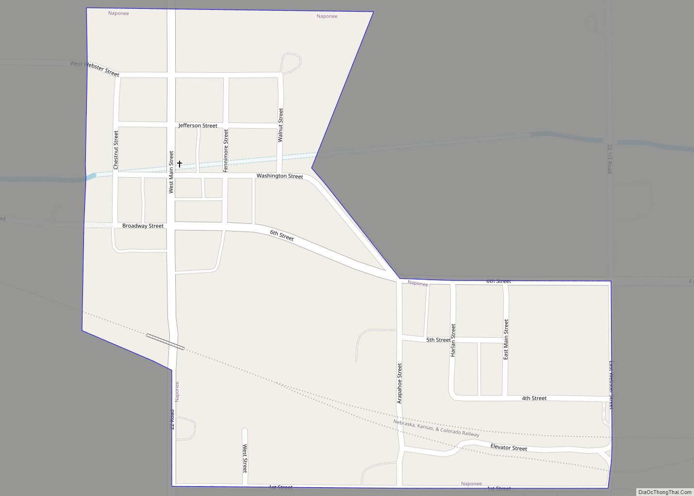
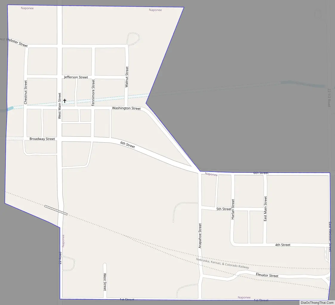
Online Interactive Map
Click on ![]() to view map in "full screen" mode.
to view map in "full screen" mode.
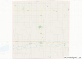
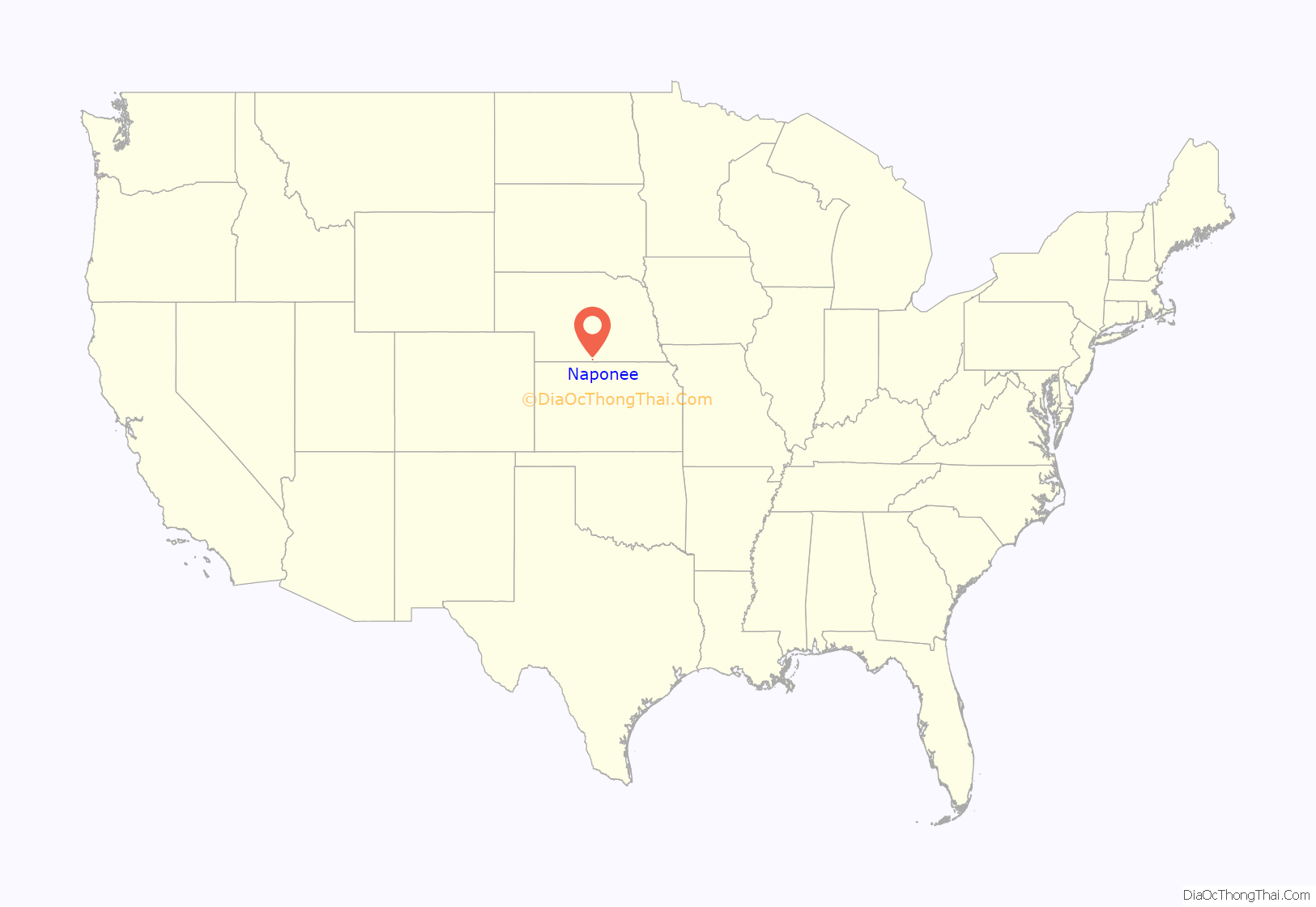
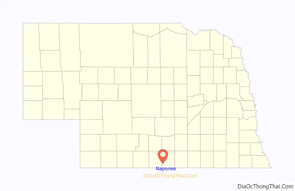
Naponee location map. Where is Naponee village?
History
The first settlers to the Naponee area arrived in 1869. Naponee’s name originates with Napanee, Ontario, the hometown of a Canadian who fought in the Civil War and bought land along the Republican River. A post office was established in Naponee in 1871. In 1877, the first store opened and was followed by the village’s first survey 1879. Railroad service arrived in 1879 with the Burlington Railroad reaching town. Incorporation of the village of Naponee took place on November 30, 1909. Like many places, Naponee suffered in the Great Depression and major dust storms and flooding of the Republican River in 1935 compounded these woes. Construction of the nearby Harlan County Dam in the 1940s nearly doubled the population from 200 to 400. Today Naponee remains a rural community with a stable population.
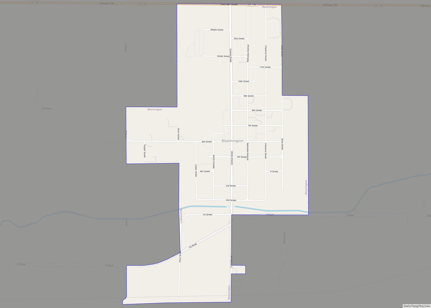
Naponee Road Map
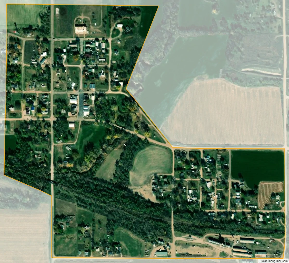
Naponee city Satellite Map
Geography
Naponee is located at 40°4′34″N 99°8′21″W / 40.07611°N 99.13917°W / 40.07611; -99.13917 (40.076010, -99.139150).
According to the United States Census Bureau, the village has a total area of 0.23 square miles (0.60 km), all land.
Naponee is situated near the Republican River, approximately 3 miles (4.8 km) downstream from Harlan County Dam, and about 2 miles (3.2 km) south of U.S. Route 136.
See also
Map of Nebraska State and its subdivision:- Adams
- Antelope
- Arthur
- Banner
- Blaine
- Boone
- Box Butte
- Boyd
- Brown
- Buffalo
- Burt
- Butler
- Cass
- Cedar
- Chase
- Cherry
- Cheyenne
- Clay
- Colfax
- Cuming
- Custer
- Dakota
- Dawes
- Dawson
- Deuel
- Dixon
- Dodge
- Douglas
- Dundy
- Fillmore
- Franklin
- Frontier
- Furnas
- Gage
- Garden
- Garfield
- Gosper
- Grant
- Greeley
- Hall
- Hamilton
- Harlan
- Hayes
- Hitchcock
- Holt
- Hooker
- Howard
- Jefferson
- Johnson
- Kearney
- Keith
- Keya Paha
- Kimball
- Knox
- Lancaster
- Lincoln
- Logan
- Loup
- Madison
- McPherson
- Merrick
- Morrill
- Nance
- Nemaha
- Nuckolls
- Otoe
- Pawnee
- Perkins
- Phelps
- Pierce
- Platte
- Polk
- Red Willow
- Richardson
- Rock
- Saline
- Sarpy
- Saunders
- Scotts Bluff
- Seward
- Sheridan
- Sherman
- Sioux
- Stanton
- Thayer
- Thomas
- Thurston
- Valley
- Washington
- Wayne
- Webster
- Wheeler
- York
- Alabama
- Alaska
- Arizona
- Arkansas
- California
- Colorado
- Connecticut
- Delaware
- District of Columbia
- Florida
- Georgia
- Hawaii
- Idaho
- Illinois
- Indiana
- Iowa
- Kansas
- Kentucky
- Louisiana
- Maine
- Maryland
- Massachusetts
- Michigan
- Minnesota
- Mississippi
- Missouri
- Montana
- Nebraska
- Nevada
- New Hampshire
- New Jersey
- New Mexico
- New York
- North Carolina
- North Dakota
- Ohio
- Oklahoma
- Oregon
- Pennsylvania
- Rhode Island
- South Carolina
- South Dakota
- Tennessee
- Texas
- Utah
- Vermont
- Virginia
- Washington
- West Virginia
- Wisconsin
- Wyoming