Panama is a village in Lancaster County, Nebraska, United States. It is part of the Lincoln, Nebraska Metropolitan Statistical Area. The population was 235 at the 2020 census.
| Name: | Panama village |
|---|---|
| LSAD Code: | 47 |
| LSAD Description: | village (suffix) |
| State: | Nebraska |
| County: | Lancaster County |
| Elevation: | 1,404 ft (428 m) |
| Total Area: | 0.28 sq mi (0.74 km²) |
| Land Area: | 0.28 sq mi (0.74 km²) |
| Water Area: | 0.00 sq mi (0.00 km²) |
| Total Population: | 235 |
| Population Density: | 827.46/sq mi (319.69/km²) |
| ZIP code: | 68419 |
| Area code: | 402 |
| FIPS code: | 3138225 |
| GNISfeature ID: | 2399618 |
Online Interactive Map
Click on ![]() to view map in "full screen" mode.
to view map in "full screen" mode.
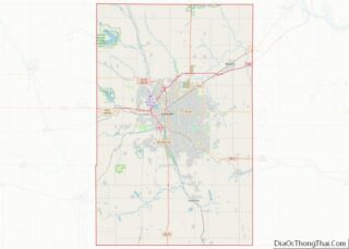
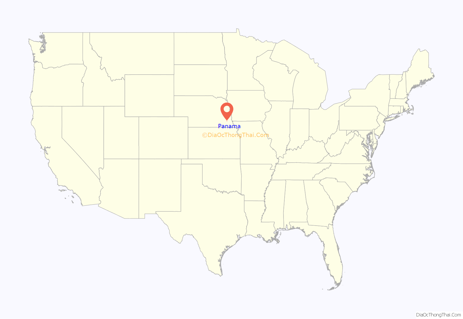
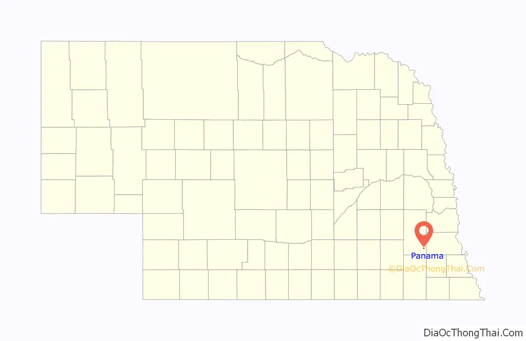
Panama location map. Where is Panama village?
History
In 1879, the Panama Cemetery Association was formed and raised funds to dig a well. Panama was originally founded one mile south of its present location but was moved in order to be closer to the railway. In 1888, the village was officially founded on land that was previously owned by Moses J. Mitton, John Forrest, and Gilbert F. Steeves. According to local folk history, the village’s original by-laws contained a clause inserted by a descendant of Gilbert F. Steeves, Caroline “Carrie” Steeves, which stated that if the village allowed any business to sell alcohol in the village, the Steeves family would reclaim the land they had deeded to the village. Panama was incorporated as a village in 1904. New by-laws and ordinances were enacted when the village was incorporated and again in 1977, but it is still illegal to sell alcohol in the village. The village was likely named after the Isthmus of Panama, which had gained notoriety at the time due to the United States’ involvement in building the Panama Canal.
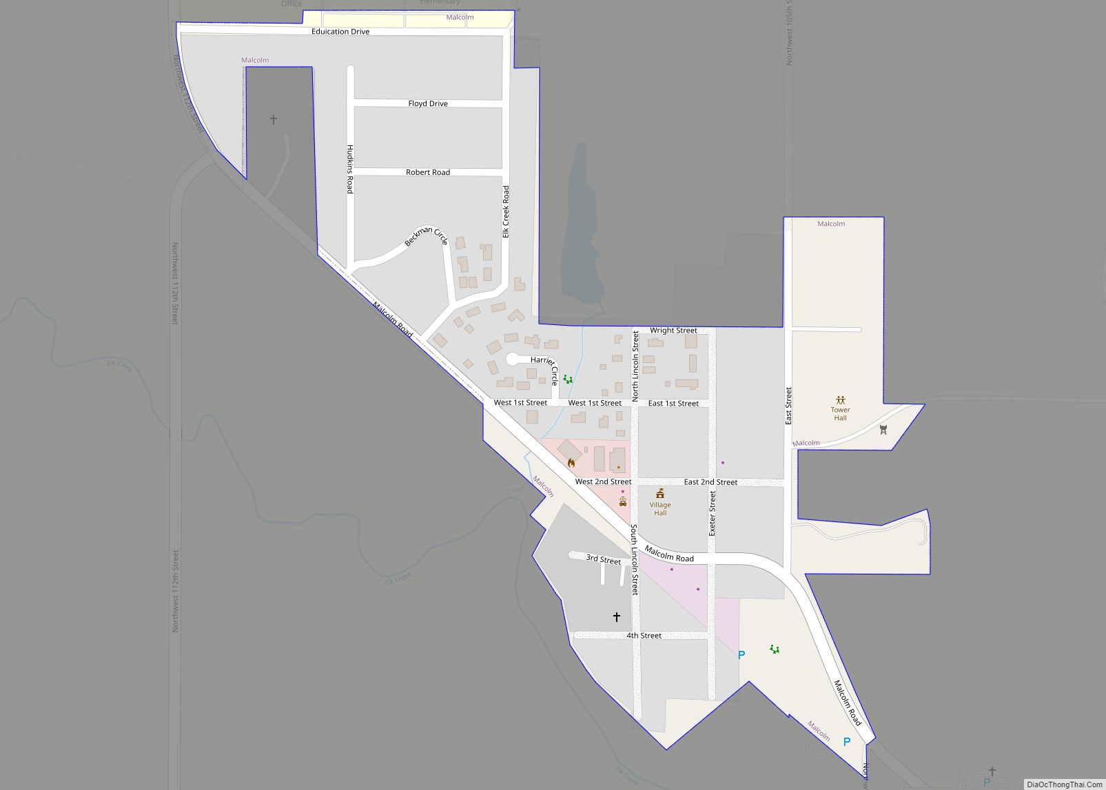
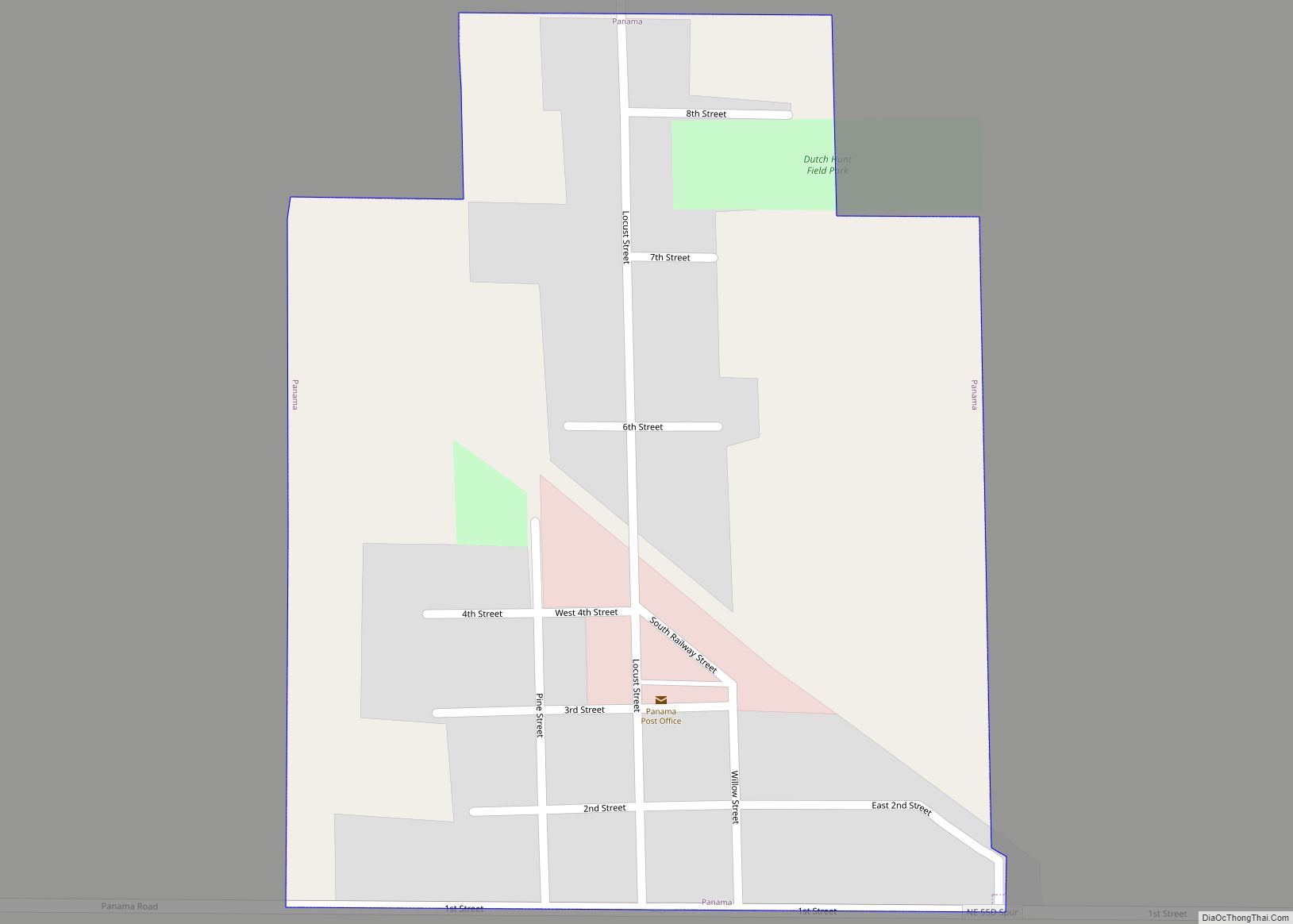
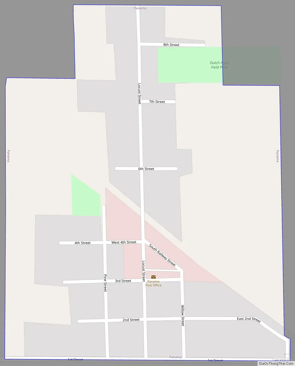
Panama Road Map
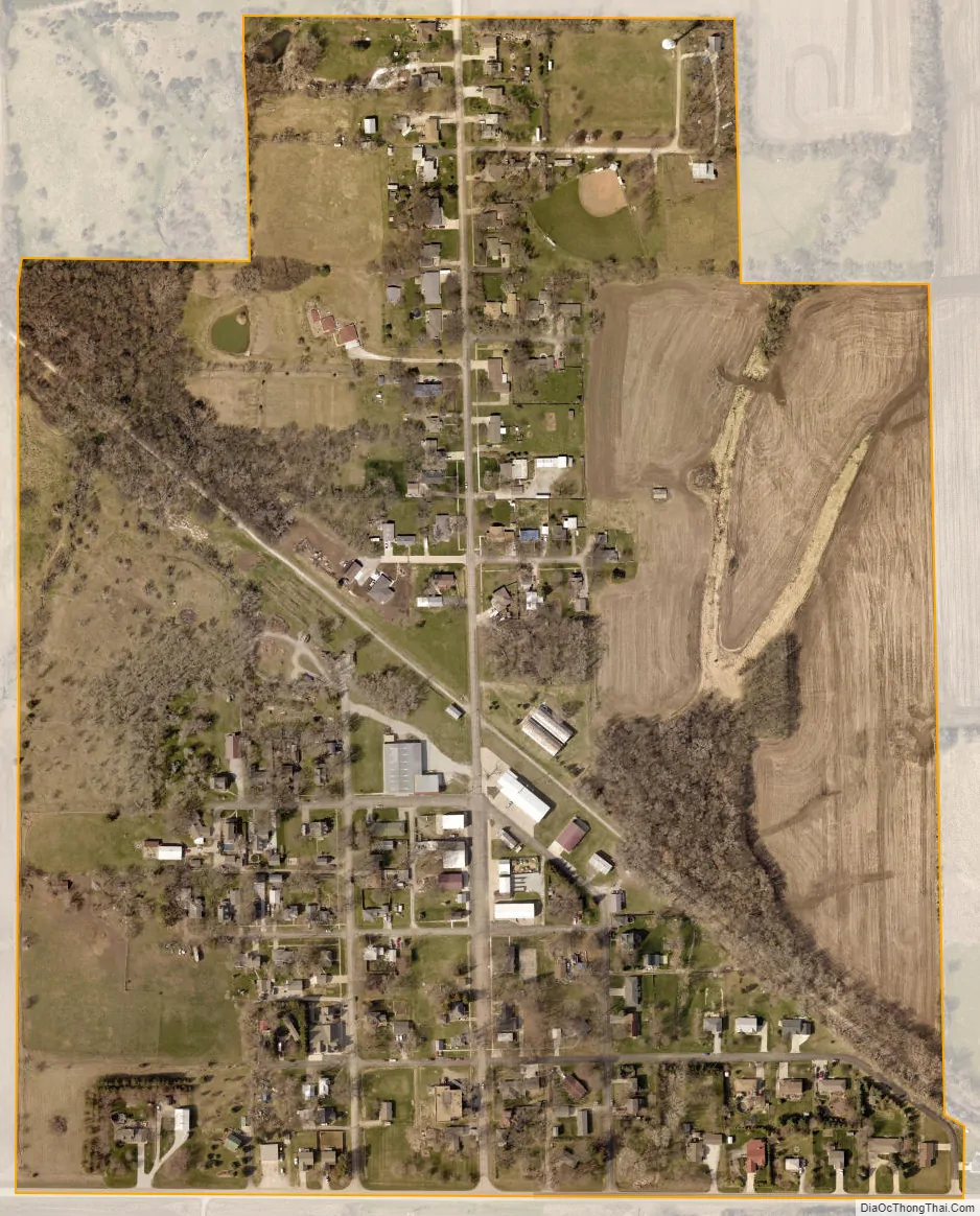
Panama city Satellite Map
Geography
According to the United States Census Bureau, the village has a total area of 0.28 square miles (0.73 km), all land.
See also
Map of Nebraska State and its subdivision:- Adams
- Antelope
- Arthur
- Banner
- Blaine
- Boone
- Box Butte
- Boyd
- Brown
- Buffalo
- Burt
- Butler
- Cass
- Cedar
- Chase
- Cherry
- Cheyenne
- Clay
- Colfax
- Cuming
- Custer
- Dakota
- Dawes
- Dawson
- Deuel
- Dixon
- Dodge
- Douglas
- Dundy
- Fillmore
- Franklin
- Frontier
- Furnas
- Gage
- Garden
- Garfield
- Gosper
- Grant
- Greeley
- Hall
- Hamilton
- Harlan
- Hayes
- Hitchcock
- Holt
- Hooker
- Howard
- Jefferson
- Johnson
- Kearney
- Keith
- Keya Paha
- Kimball
- Knox
- Lancaster
- Lincoln
- Logan
- Loup
- Madison
- McPherson
- Merrick
- Morrill
- Nance
- Nemaha
- Nuckolls
- Otoe
- Pawnee
- Perkins
- Phelps
- Pierce
- Platte
- Polk
- Red Willow
- Richardson
- Rock
- Saline
- Sarpy
- Saunders
- Scotts Bluff
- Seward
- Sheridan
- Sherman
- Sioux
- Stanton
- Thayer
- Thomas
- Thurston
- Valley
- Washington
- Wayne
- Webster
- Wheeler
- York
- Alabama
- Alaska
- Arizona
- Arkansas
- California
- Colorado
- Connecticut
- Delaware
- District of Columbia
- Florida
- Georgia
- Hawaii
- Idaho
- Illinois
- Indiana
- Iowa
- Kansas
- Kentucky
- Louisiana
- Maine
- Maryland
- Massachusetts
- Michigan
- Minnesota
- Mississippi
- Missouri
- Montana
- Nebraska
- Nevada
- New Hampshire
- New Jersey
- New Mexico
- New York
- North Carolina
- North Dakota
- Ohio
- Oklahoma
- Oregon
- Pennsylvania
- Rhode Island
- South Carolina
- South Dakota
- Tennessee
- Texas
- Utah
- Vermont
- Virginia
- Washington
- West Virginia
- Wisconsin
- Wyoming