Plainview is a city in Pierce County, Nebraska, United States. It is part of the Norfolk, Nebraska Micropolitan Statistical Area. The population was 1,246 at the 2010 census.
| Name: | Plainview city |
|---|---|
| LSAD Code: | 25 |
| LSAD Description: | city (suffix) |
| State: | Nebraska |
| County: | Pierce County |
| Elevation: | 1,683 ft (513 m) |
| Total Area: | 1.08 sq mi (2.80 km²) |
| Land Area: | 1.08 sq mi (2.80 km²) |
| Water Area: | 0.00 sq mi (0.00 km²) |
| Total Population: | 1,282 |
| Population Density: | 1,184.84/sq mi (457.36/km²) |
| ZIP code: | 68769 |
| Area code: | 402 |
| FIPS code: | 3139170 |
| GNISfeature ID: | 0832141 |
| Website: | www.plainview-ne.com |
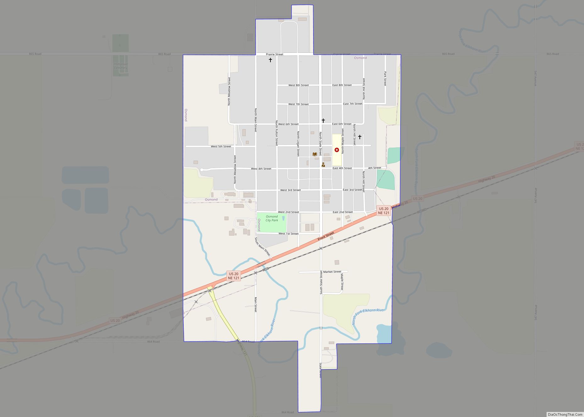
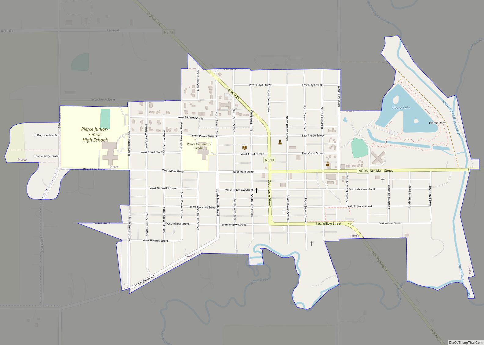
Online Interactive Map
Click on ![]() to view map in "full screen" mode.
to view map in "full screen" mode.
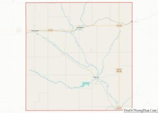
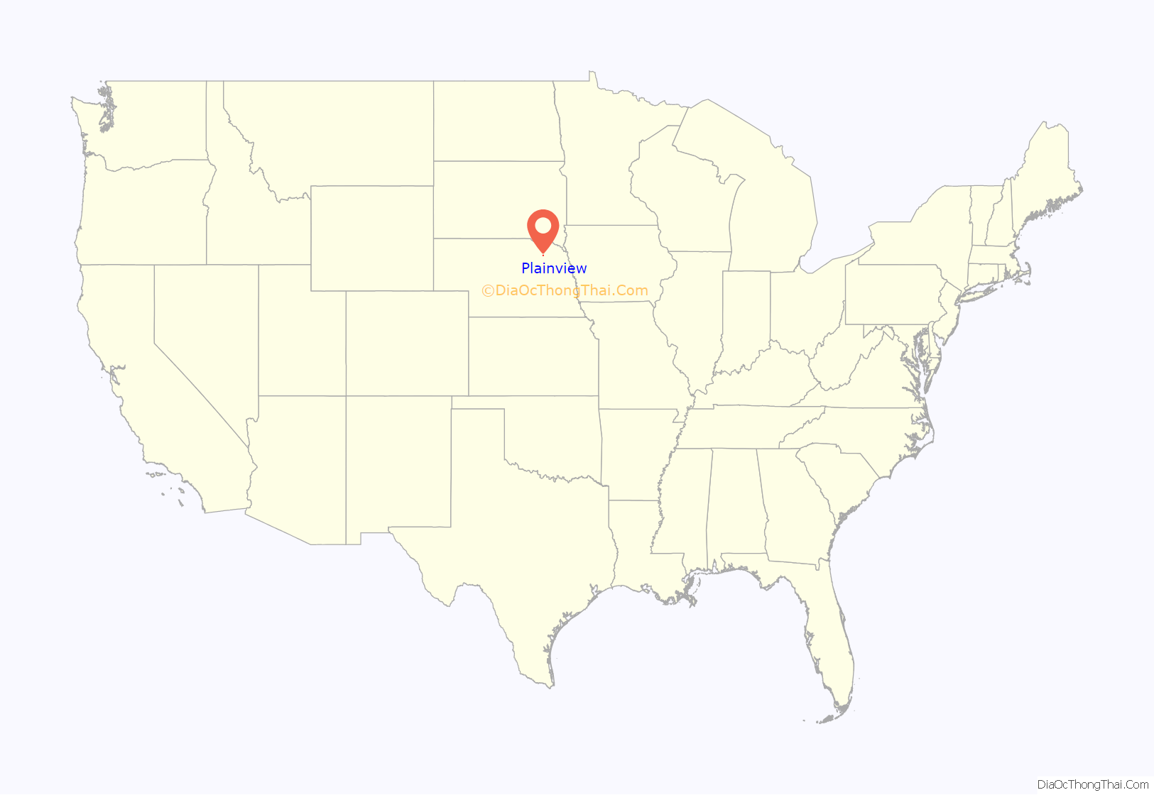
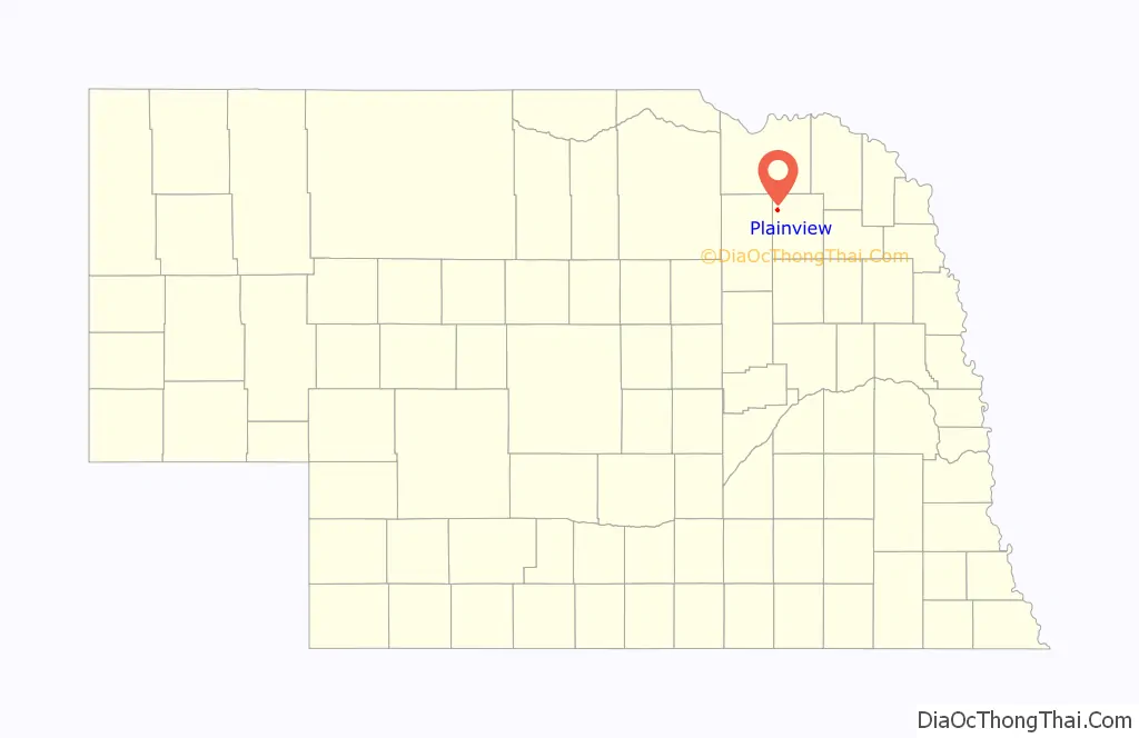
Plainview location map. Where is Plainview city?
History
The area of Plainview was first settled by William B. Chilvers around 1871. A year later in 1872, the first post office was established. The township was named Roseville after the first Postmaster, Charles Rose. In 1874, after Christian Lerum made a suggestion, the area and the post office were renamed to Plainview. The town of Painveiw was incorporated and officially became Plainview Township in April of 1886.
Plainview was platted in 1880 when the railroad was extended to that point. It took its name after Plainview, Minnesota, and from the scenic landscapes of the surrounding plains.
When Plainview was platted in 1880, there were roughly 80 settlers, two churches (one Methodist and one Congregational), one doctor, one drug store, two blacksmiths, two general stores, one hotel, and two agricultural implement dealers. The first school was made out of sod and was organized in 1872. The Bank of Plainview was the first bank in Plainview and was organized in 1884.
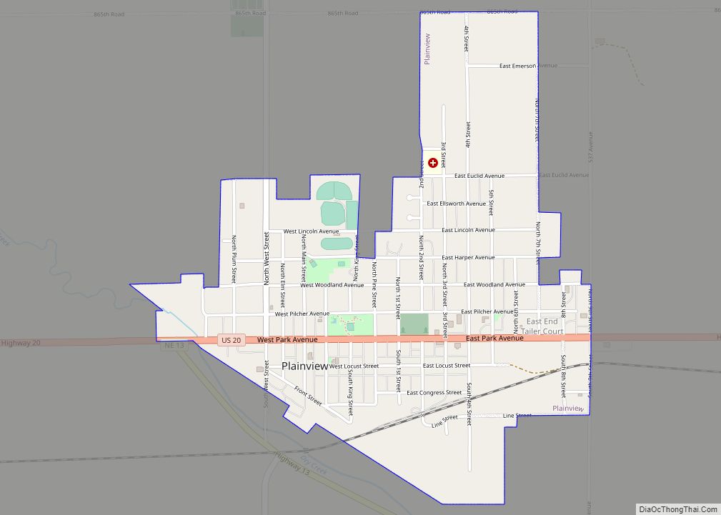
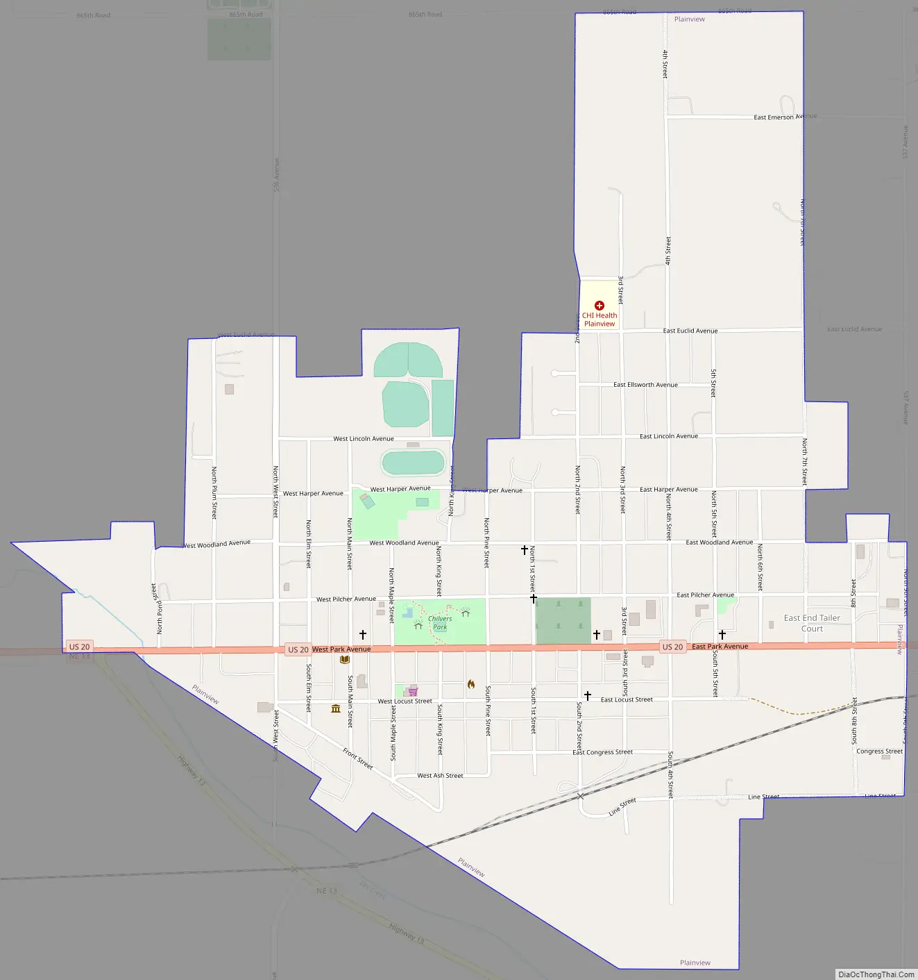
Plainview Road Map
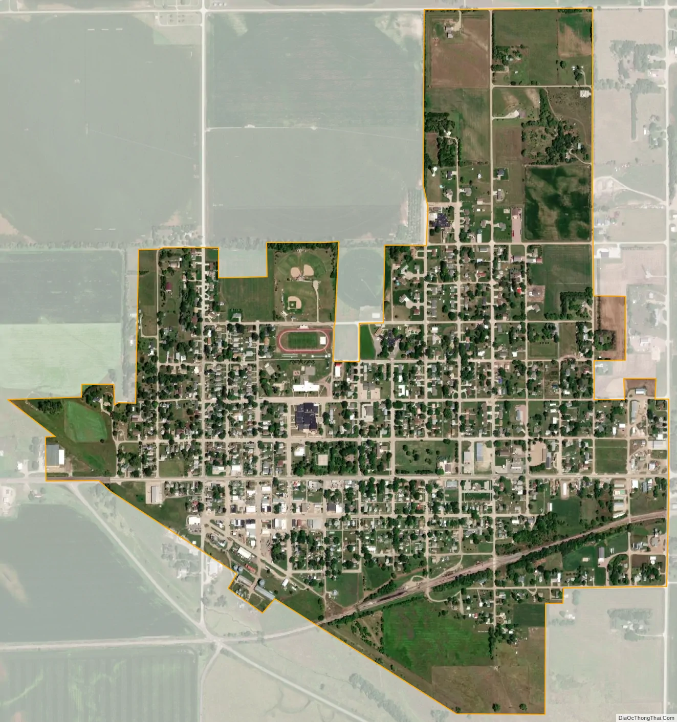
Plainview city Satellite Map
Geography
Plainview is located at 42°21′10″N 97°47′14″W / 42.35278°N 97.78722°W / 42.35278; -97.78722 (42.352729, -97.787239).
According to the United States Census Bureau, the city has a total area of 1.08 square miles (2.80 km), all land.
See also
Map of Nebraska State and its subdivision:- Adams
- Antelope
- Arthur
- Banner
- Blaine
- Boone
- Box Butte
- Boyd
- Brown
- Buffalo
- Burt
- Butler
- Cass
- Cedar
- Chase
- Cherry
- Cheyenne
- Clay
- Colfax
- Cuming
- Custer
- Dakota
- Dawes
- Dawson
- Deuel
- Dixon
- Dodge
- Douglas
- Dundy
- Fillmore
- Franklin
- Frontier
- Furnas
- Gage
- Garden
- Garfield
- Gosper
- Grant
- Greeley
- Hall
- Hamilton
- Harlan
- Hayes
- Hitchcock
- Holt
- Hooker
- Howard
- Jefferson
- Johnson
- Kearney
- Keith
- Keya Paha
- Kimball
- Knox
- Lancaster
- Lincoln
- Logan
- Loup
- Madison
- McPherson
- Merrick
- Morrill
- Nance
- Nemaha
- Nuckolls
- Otoe
- Pawnee
- Perkins
- Phelps
- Pierce
- Platte
- Polk
- Red Willow
- Richardson
- Rock
- Saline
- Sarpy
- Saunders
- Scotts Bluff
- Seward
- Sheridan
- Sherman
- Sioux
- Stanton
- Thayer
- Thomas
- Thurston
- Valley
- Washington
- Wayne
- Webster
- Wheeler
- York
- Alabama
- Alaska
- Arizona
- Arkansas
- California
- Colorado
- Connecticut
- Delaware
- District of Columbia
- Florida
- Georgia
- Hawaii
- Idaho
- Illinois
- Indiana
- Iowa
- Kansas
- Kentucky
- Louisiana
- Maine
- Maryland
- Massachusetts
- Michigan
- Minnesota
- Mississippi
- Missouri
- Montana
- Nebraska
- Nevada
- New Hampshire
- New Jersey
- New Mexico
- New York
- North Carolina
- North Dakota
- Ohio
- Oklahoma
- Oregon
- Pennsylvania
- Rhode Island
- South Carolina
- South Dakota
- Tennessee
- Texas
- Utah
- Vermont
- Virginia
- Washington
- West Virginia
- Wisconsin
- Wyoming