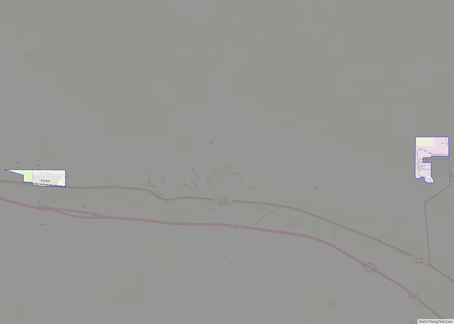
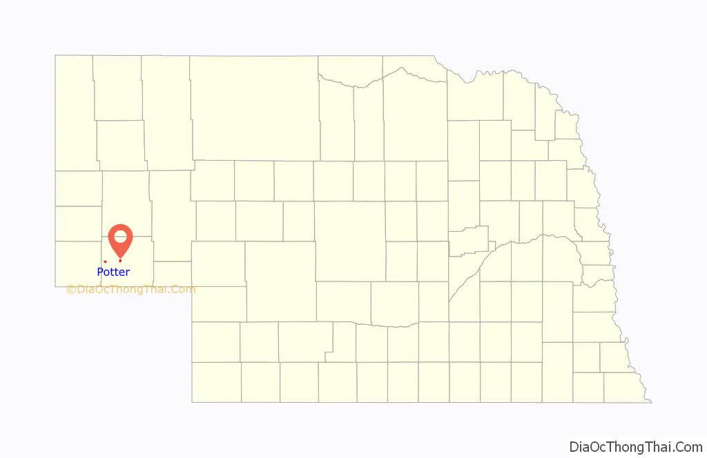
Potter is a village in Cheyenne County, Nebraska, United States. As of the 2010 census, the village population was 337.
| Name: | Potter village |
|---|---|
| LSAD Code: | 47 |
| LSAD Description: | village (suffix) |
| State: | Nebraska |
| County: | Cheyenne County |
| Elevation: | 4,400 ft (1,300 m) |
| Total Area: | 1.44 sq mi (3.73 km²) |
| Land Area: | 1.44 sq mi (3.73 km²) |
| Water Area: | 0.00 sq mi (0.00 km²) |
| Total Population: | 342 |
| Population Density: | 237.67/sq mi (91.75/km²) |
| ZIP code: | 69156 |
| Area code: | 308 |
| FIPS code: | 3139870 |
| GNISfeature ID: | 0832328 |
Online Interactive Map
Click on ![]() to view map in "full screen" mode.
to view map in "full screen" mode.
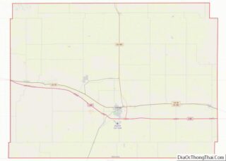
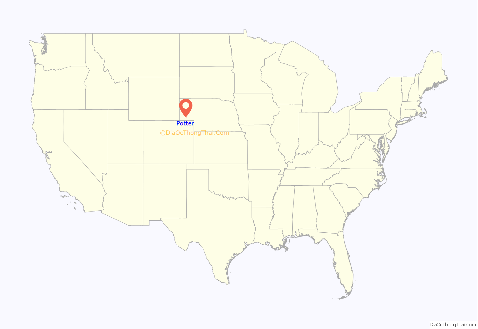
Potter location map. Where is Potter village?
History
Potter got its start in the year 1870, following construction of the railroad through the territory. It was named for General Potter, a railroad shareholder.
On July 6, 1928, Potter received the largest hailstone ever recorded, which measured approximately 17 inches (43.2 centimeters) in diameter and weighed approximately 1.5 pounds (680 grams). Another hailstone of that diameter measurement was recovered in Aurora, Nebraska on June 22, 2003.
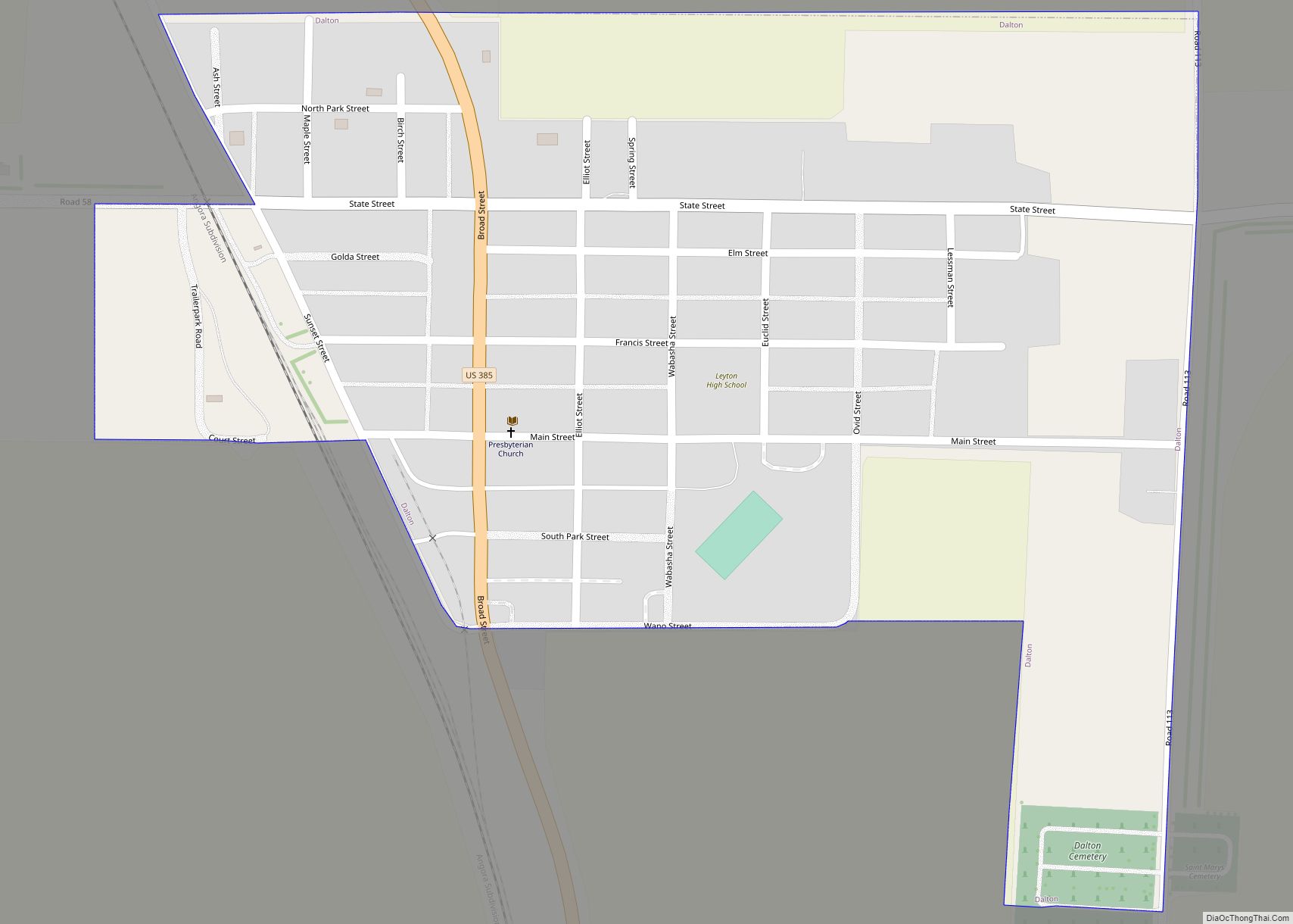
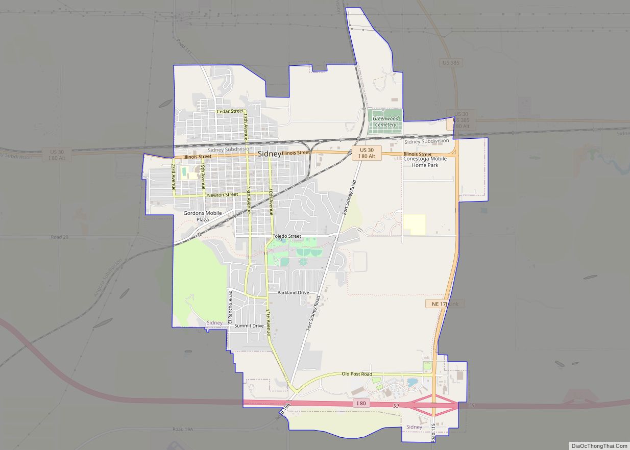
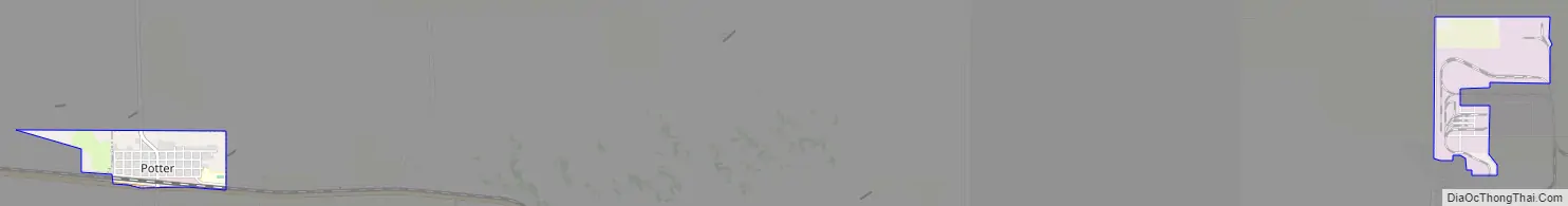
Potter Road Map
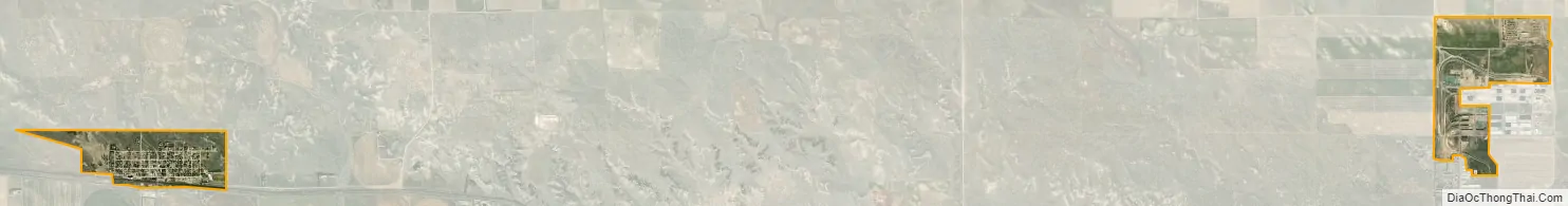
Potter city Satellite Map
Geography
Potter is located at 41°13′4″N 103°18′53″W / 41.21778°N 103.31472°W / 41.21778; -103.31472 (41.217830, -103.314788).
According to the United States Census Bureau, the village has a total area of 0.46 square miles (1.19 km), all land.
See also
Map of Nebraska State and its subdivision:- Adams
- Antelope
- Arthur
- Banner
- Blaine
- Boone
- Box Butte
- Boyd
- Brown
- Buffalo
- Burt
- Butler
- Cass
- Cedar
- Chase
- Cherry
- Cheyenne
- Clay
- Colfax
- Cuming
- Custer
- Dakota
- Dawes
- Dawson
- Deuel
- Dixon
- Dodge
- Douglas
- Dundy
- Fillmore
- Franklin
- Frontier
- Furnas
- Gage
- Garden
- Garfield
- Gosper
- Grant
- Greeley
- Hall
- Hamilton
- Harlan
- Hayes
- Hitchcock
- Holt
- Hooker
- Howard
- Jefferson
- Johnson
- Kearney
- Keith
- Keya Paha
- Kimball
- Knox
- Lancaster
- Lincoln
- Logan
- Loup
- Madison
- McPherson
- Merrick
- Morrill
- Nance
- Nemaha
- Nuckolls
- Otoe
- Pawnee
- Perkins
- Phelps
- Pierce
- Platte
- Polk
- Red Willow
- Richardson
- Rock
- Saline
- Sarpy
- Saunders
- Scotts Bluff
- Seward
- Sheridan
- Sherman
- Sioux
- Stanton
- Thayer
- Thomas
- Thurston
- Valley
- Washington
- Wayne
- Webster
- Wheeler
- York
- Alabama
- Alaska
- Arizona
- Arkansas
- California
- Colorado
- Connecticut
- Delaware
- District of Columbia
- Florida
- Georgia
- Hawaii
- Idaho
- Illinois
- Indiana
- Iowa
- Kansas
- Kentucky
- Louisiana
- Maine
- Maryland
- Massachusetts
- Michigan
- Minnesota
- Mississippi
- Missouri
- Montana
- Nebraska
- Nevada
- New Hampshire
- New Jersey
- New Mexico
- New York
- North Carolina
- North Dakota
- Ohio
- Oklahoma
- Oregon
- Pennsylvania
- Rhode Island
- South Carolina
- South Dakota
- Tennessee
- Texas
- Utah
- Vermont
- Virginia
- Washington
- West Virginia
- Wisconsin
- Wyoming