Raymond is a village in Lancaster County, Nebraska, United States. It is part of the Lincoln, Nebraska Metropolitan Statistical Area. The population was 159 at the 2020 census.
| Name: | Raymond village |
|---|---|
| LSAD Code: | 47 |
| LSAD Description: | village (suffix) |
| State: | Nebraska |
| County: | Lancaster County |
| Elevation: | 1,240 ft (380 m) |
| Total Area: | 0.13 sq mi (0.34 km²) |
| Land Area: | 0.13 sq mi (0.34 km²) |
| Water Area: | 0.00 sq mi (0.00 km²) |
| Total Population: | 159 |
| Population Density: | 1,213.74/sq mi (466.85/km²) |
| ZIP code: | 68428 |
| Area code: | 402 |
| FIPS code: | 3140780 |
| GNISfeature ID: | 2399050 |
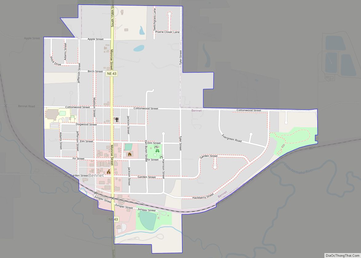
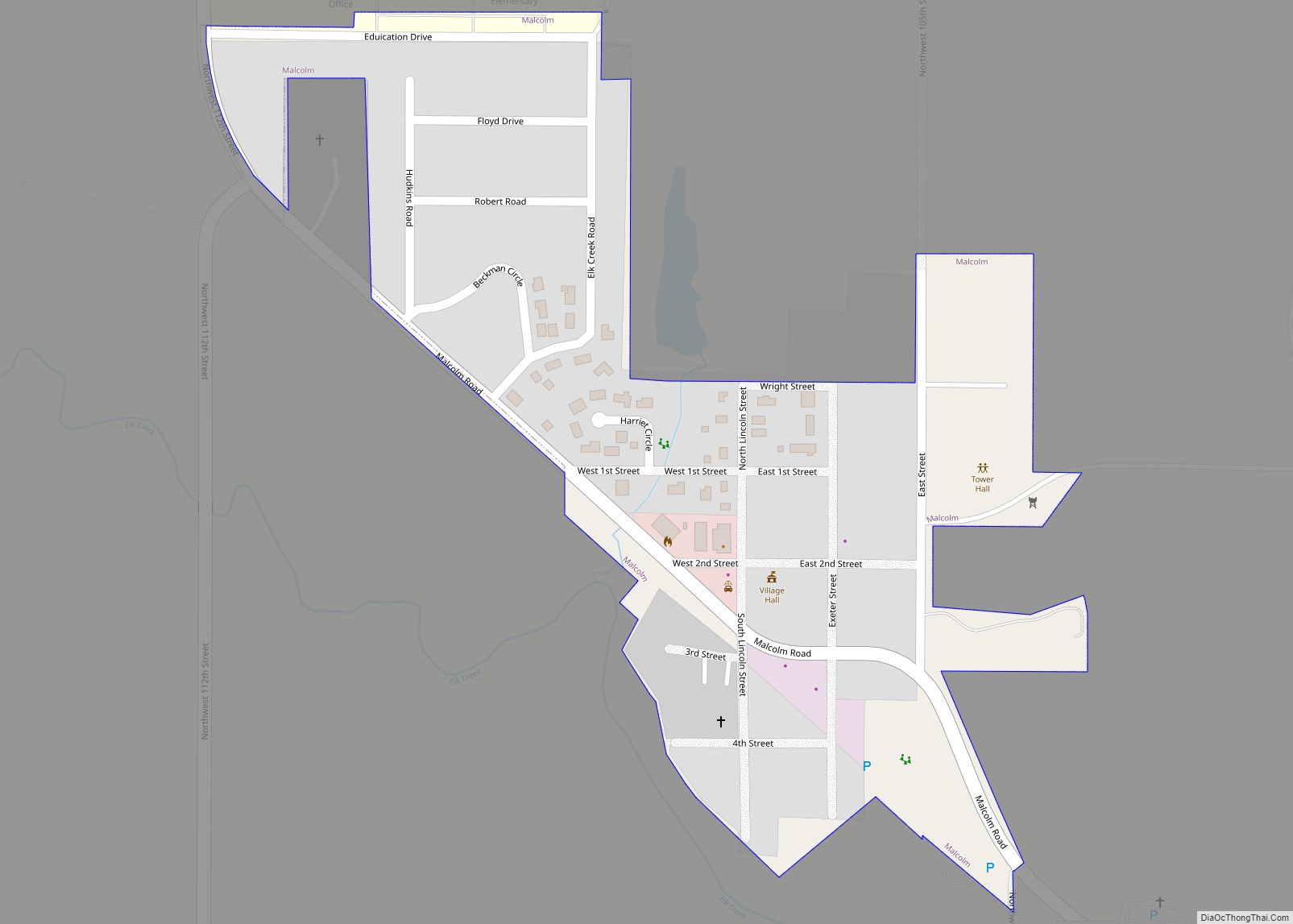
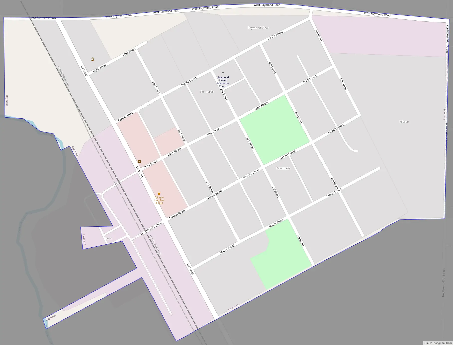
Online Interactive Map
Click on ![]() to view map in "full screen" mode.
to view map in "full screen" mode.
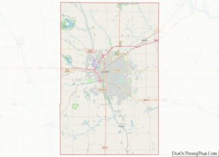
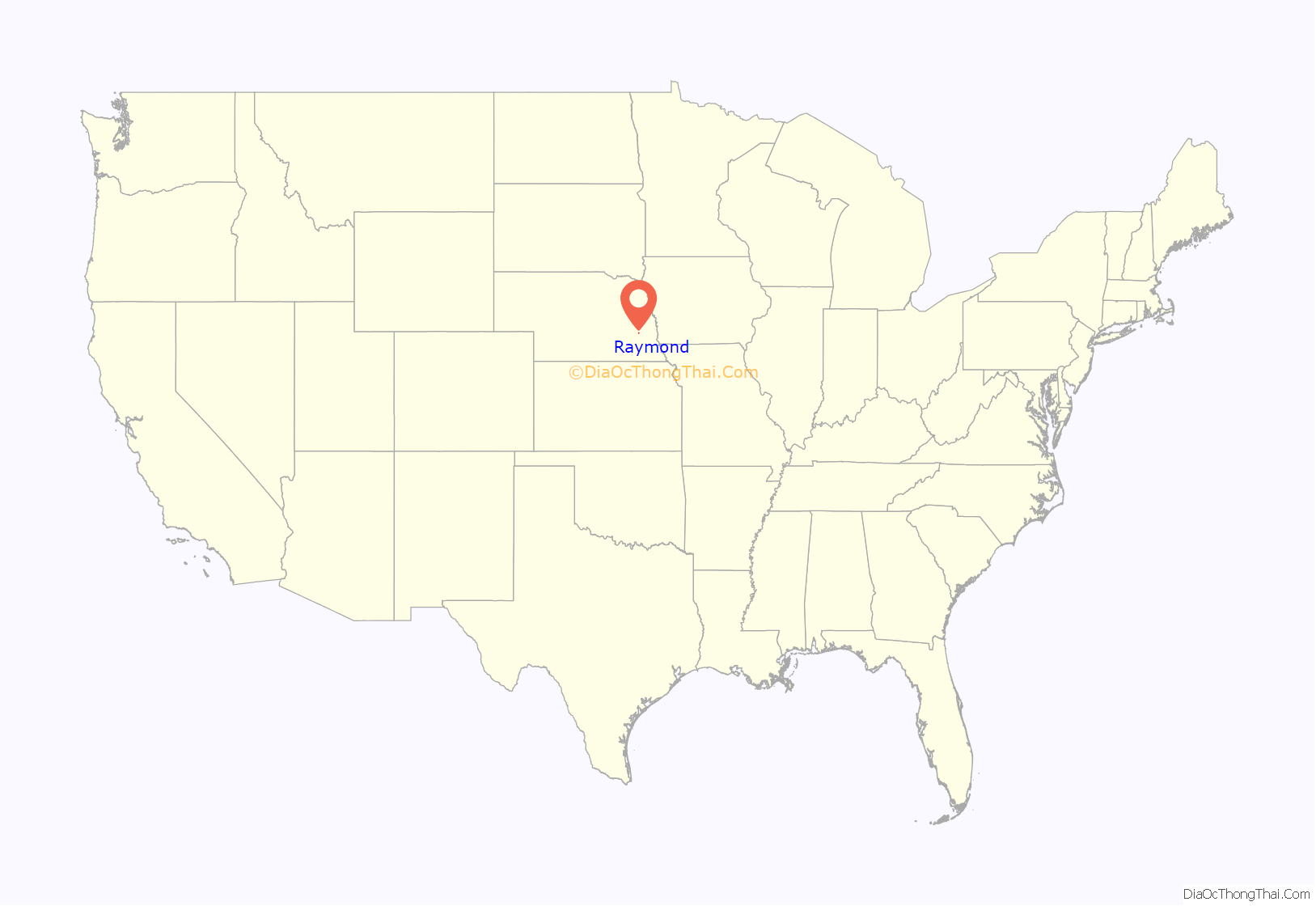
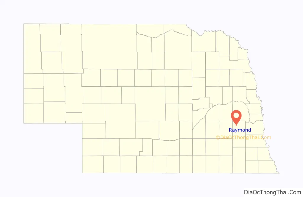
Raymond location map. Where is Raymond village?
History
Beginning in 1864, settlers arrived in the area and a subscription school was run in the home of Charles and Olive White. In 1870, Oak Creek was dammed and a grist mill was erected. A population grew in the area, generally centered around Raymond’s present location, but there was no official settlement or name of the area. In 1878, a post office was established nearby and named “Orlando.” Raymond was platted in 1880 when the railroad was extended to that point and was named for I. M. Raymond, a railroad official.
In 1892, Raymond became incorporated as a village and one year later a two-room school was built. Following consolidation with several neighboring school districts, a new high school was built near Agnew, Nebraska, but elementary school students still attend school in Raymond.
The twentieth century created challenges for Raymond. As automobiles became the way to travel cross-country in the United States, Raymond was left disconnected as Highway 79 passed one half mile west of the town rather than through it. World War II saw the building of the Lincoln Air Base and increasing numbers of factory jobs elsewhere, leaving Raymond behind.
However, Raymond experienced a period of growth following the construction of Branched Oak Dam in 1970. The dam provided flood relief for the village, but also created a large reservoir surrounded by the largest recreational area in eastern Nebraska.
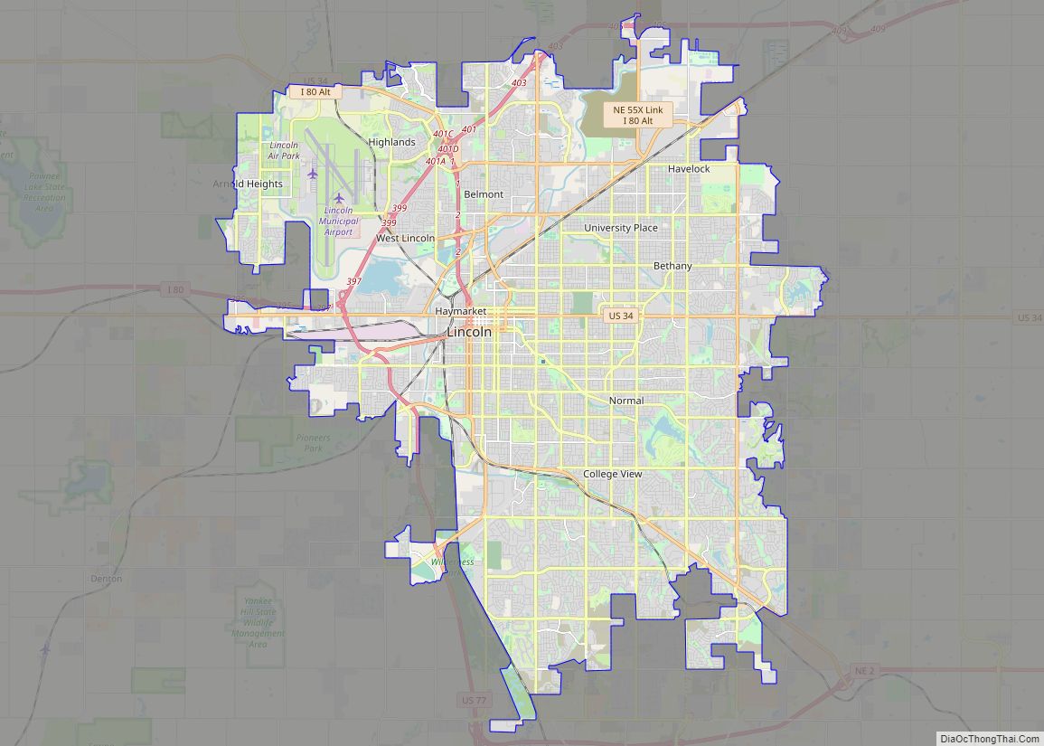
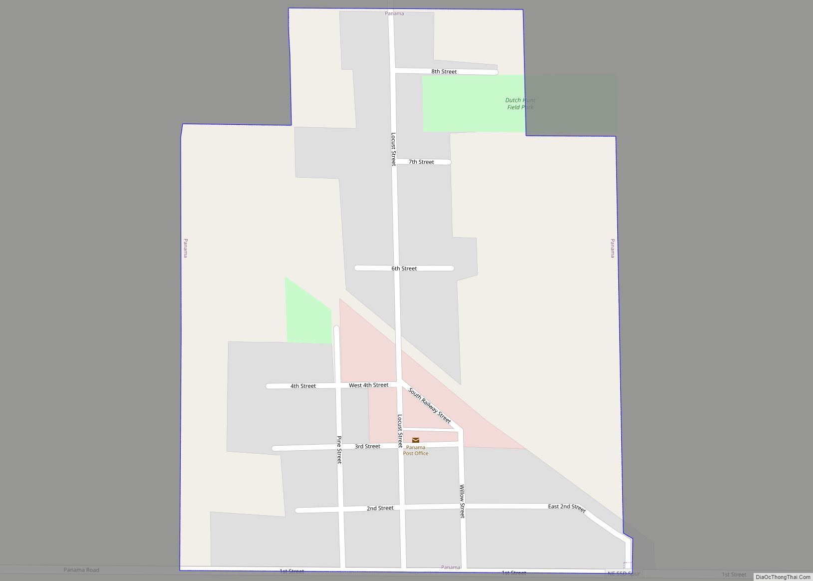
Raymond Road Map
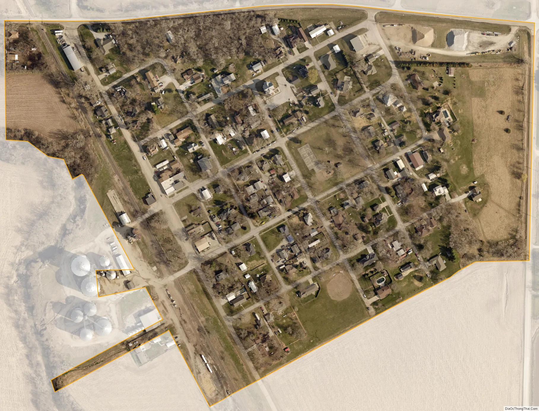
Raymond city Satellite Map
Geography
According to the United States Census Bureau, the village has a total area of 0.13 square miles (0.34 km), all land.
See also
Map of Nebraska State and its subdivision:- Adams
- Antelope
- Arthur
- Banner
- Blaine
- Boone
- Box Butte
- Boyd
- Brown
- Buffalo
- Burt
- Butler
- Cass
- Cedar
- Chase
- Cherry
- Cheyenne
- Clay
- Colfax
- Cuming
- Custer
- Dakota
- Dawes
- Dawson
- Deuel
- Dixon
- Dodge
- Douglas
- Dundy
- Fillmore
- Franklin
- Frontier
- Furnas
- Gage
- Garden
- Garfield
- Gosper
- Grant
- Greeley
- Hall
- Hamilton
- Harlan
- Hayes
- Hitchcock
- Holt
- Hooker
- Howard
- Jefferson
- Johnson
- Kearney
- Keith
- Keya Paha
- Kimball
- Knox
- Lancaster
- Lincoln
- Logan
- Loup
- Madison
- McPherson
- Merrick
- Morrill
- Nance
- Nemaha
- Nuckolls
- Otoe
- Pawnee
- Perkins
- Phelps
- Pierce
- Platte
- Polk
- Red Willow
- Richardson
- Rock
- Saline
- Sarpy
- Saunders
- Scotts Bluff
- Seward
- Sheridan
- Sherman
- Sioux
- Stanton
- Thayer
- Thomas
- Thurston
- Valley
- Washington
- Wayne
- Webster
- Wheeler
- York
- Alabama
- Alaska
- Arizona
- Arkansas
- California
- Colorado
- Connecticut
- Delaware
- District of Columbia
- Florida
- Georgia
- Hawaii
- Idaho
- Illinois
- Indiana
- Iowa
- Kansas
- Kentucky
- Louisiana
- Maine
- Maryland
- Massachusetts
- Michigan
- Minnesota
- Mississippi
- Missouri
- Montana
- Nebraska
- Nevada
- New Hampshire
- New Jersey
- New Mexico
- New York
- North Carolina
- North Dakota
- Ohio
- Oklahoma
- Oregon
- Pennsylvania
- Rhode Island
- South Carolina
- South Dakota
- Tennessee
- Texas
- Utah
- Vermont
- Virginia
- Washington
- West Virginia
- Wisconsin
- Wyoming