Rosalie is a village in Thurston County, Nebraska, United States, within the boundaries of the Omaha Indian Reservation. The population was 160 at the 2010 census.
| Name: | Rosalie village |
|---|---|
| LSAD Code: | 47 |
| LSAD Description: | village (suffix) |
| State: | Nebraska |
| County: | Thurston County |
| Elevation: | 1,352 ft (412 m) |
| Total Area: | 0.20 sq mi (0.51 km²) |
| Land Area: | 0.20 sq mi (0.51 km²) |
| Water Area: | 0.00 sq mi (0.00 km²) |
| Total Population: | 159 |
| Population Density: | 811.22/sq mi (313.56/km²) |
| ZIP code: | 68055 |
| Area code: | 402 |
| FIPS code: | 3142250 |
| GNISfeature ID: | 0832679 |
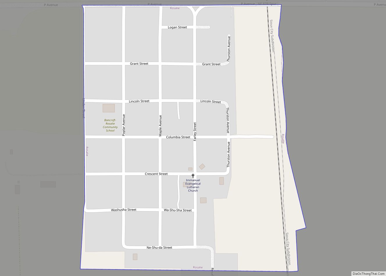
Online Interactive Map
Click on ![]() to view map in "full screen" mode.
to view map in "full screen" mode.
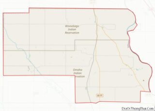
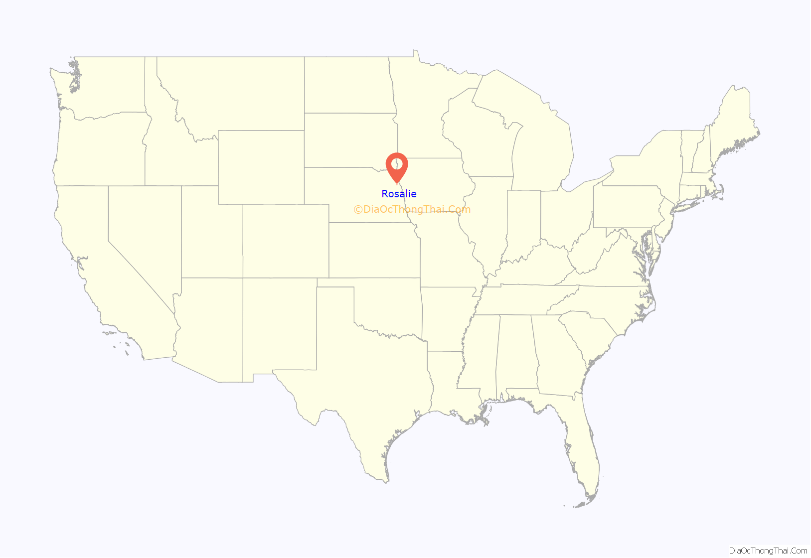
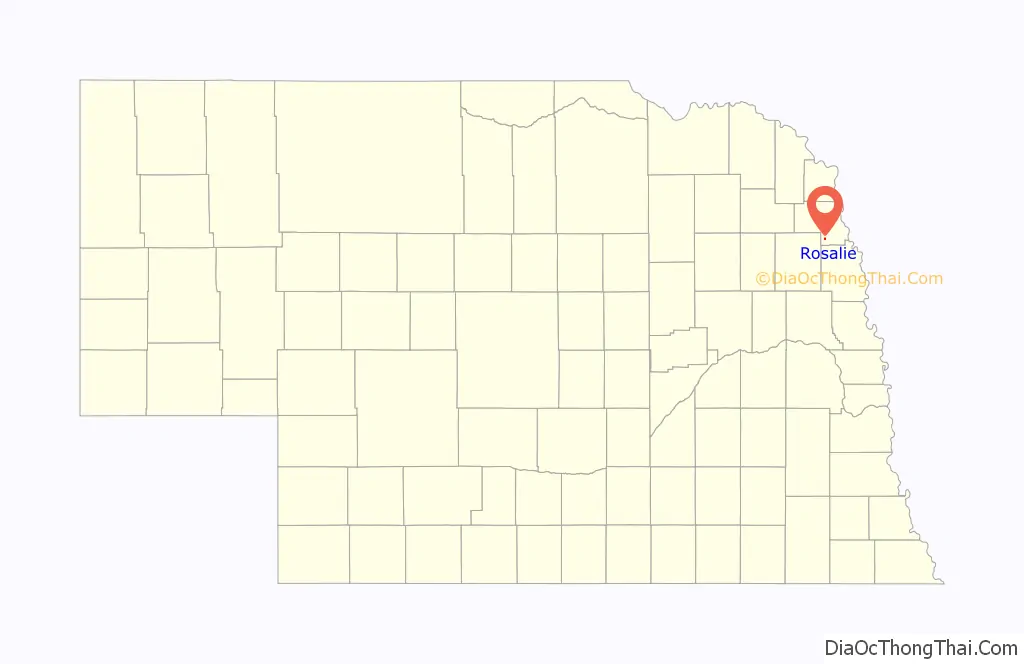
Rosalie location map. Where is Rosalie village?
History
Rosalie was platted in 1906 when the Chicago, Burlington & Quincy Railroad was extended to that point.
Rosalie was named for Rosalie La Flesche Farley, a daughter of Joseph La Flesche, the last principal chief of the Omaha tribe selected by traditional means in the nineteenth century, and the only chief of part-European ancestry. After the tribe moved onto the reservation, Rosalie La Flesche became its financial manager, managing grazing leases and other transactions. She married Edward Farley of Bancroft, Nebraska. One of her sisters was the author and activist Susette “Bright Eyes” LaFlesche, who married journalist Thomas Tibbles. Another sister was Susan LaFlesche Picotte, a physician who married a Yankton Sioux man.
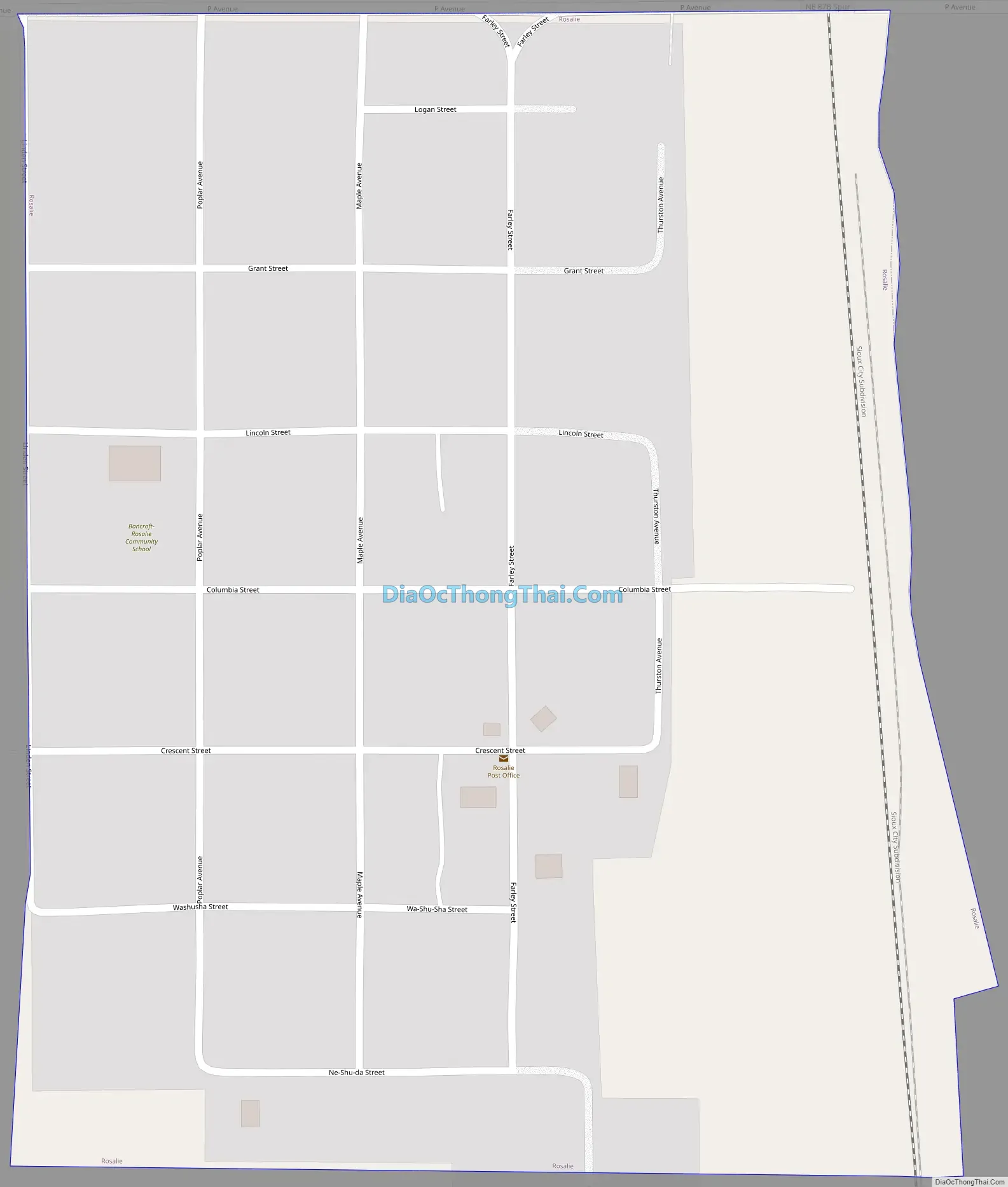
Rosalie Road Map
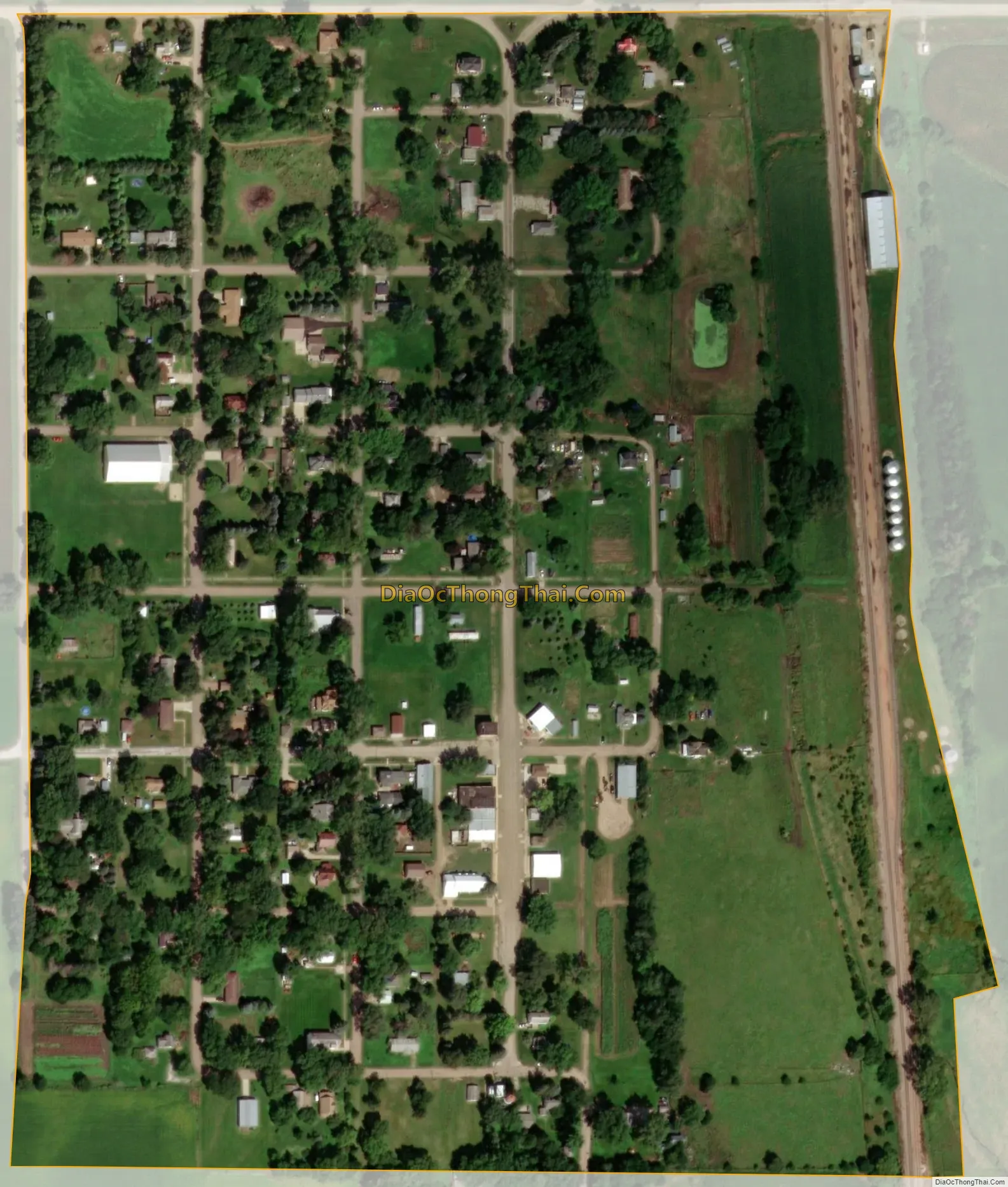
Rosalie city Satellite Map
Geography
Rosalie is located at 42°3′28″N 96°30′47″W / 42.05778°N 96.51306°W / 42.05778; -96.51306 (42.057914, -96.513036).
According to the United States Census Bureau, the village has a total area of 0.20 square miles (0.52 km), all land.
See also
Map of Nebraska State and its subdivision:- Adams
- Antelope
- Arthur
- Banner
- Blaine
- Boone
- Box Butte
- Boyd
- Brown
- Buffalo
- Burt
- Butler
- Cass
- Cedar
- Chase
- Cherry
- Cheyenne
- Clay
- Colfax
- Cuming
- Custer
- Dakota
- Dawes
- Dawson
- Deuel
- Dixon
- Dodge
- Douglas
- Dundy
- Fillmore
- Franklin
- Frontier
- Furnas
- Gage
- Garden
- Garfield
- Gosper
- Grant
- Greeley
- Hall
- Hamilton
- Harlan
- Hayes
- Hitchcock
- Holt
- Hooker
- Howard
- Jefferson
- Johnson
- Kearney
- Keith
- Keya Paha
- Kimball
- Knox
- Lancaster
- Lincoln
- Logan
- Loup
- Madison
- McPherson
- Merrick
- Morrill
- Nance
- Nemaha
- Nuckolls
- Otoe
- Pawnee
- Perkins
- Phelps
- Pierce
- Platte
- Polk
- Red Willow
- Richardson
- Rock
- Saline
- Sarpy
- Saunders
- Scotts Bluff
- Seward
- Sheridan
- Sherman
- Sioux
- Stanton
- Thayer
- Thomas
- Thurston
- Valley
- Washington
- Wayne
- Webster
- Wheeler
- York
- Alabama
- Alaska
- Arizona
- Arkansas
- California
- Colorado
- Connecticut
- Delaware
- District of Columbia
- Florida
- Georgia
- Hawaii
- Idaho
- Illinois
- Indiana
- Iowa
- Kansas
- Kentucky
- Louisiana
- Maine
- Maryland
- Massachusetts
- Michigan
- Minnesota
- Mississippi
- Missouri
- Montana
- Nebraska
- Nevada
- New Hampshire
- New Jersey
- New Mexico
- New York
- North Carolina
- North Dakota
- Ohio
- Oklahoma
- Oregon
- Pennsylvania
- Rhode Island
- South Carolina
- South Dakota
- Tennessee
- Texas
- Utah
- Vermont
- Virginia
- Washington
- West Virginia
- Wisconsin
- Wyoming