Sargent is a city in Custer County, Nebraska, United States. The population was 525 at the 2010 census.
| Name: | Sargent city |
|---|---|
| LSAD Code: | 25 |
| LSAD Description: | city (suffix) |
| State: | Nebraska |
| County: | Custer County |
| Elevation: | 2,316 ft (706 m) |
| Total Area: | 1.09 sq mi (2.81 km²) |
| Land Area: | 1.09 sq mi (2.81 km²) |
| Water Area: | 0.00 sq mi (0.00 km²) |
| Total Population: | 500 |
| Population Density: | 460.41/sq mi (177.80/km²) |
| ZIP code: | 68874 |
| Area code: | 308 |
| FIPS code: | 3143685 |
| GNISfeature ID: | 0833223 |
Online Interactive Map
Click on ![]() to view map in "full screen" mode.
to view map in "full screen" mode.
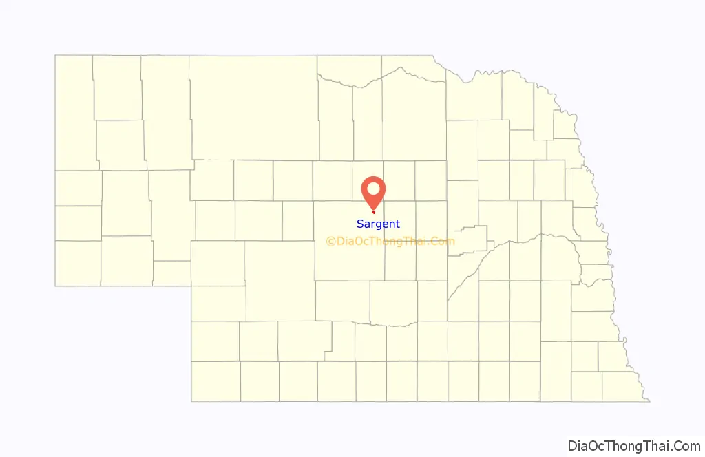
Sargent location map. Where is Sargent city?
History
Sargent was laid out in 1883 by future Governor Ezra P. Savage.
Mrs. Ruth Sherman established a post office in 1879. The office was located in a soddy one half mile east of the now corporate limits of town. She chose the name “Sargent” in honor of her close friends, Mr. and Mrs. E.D. Sargent of Streator, IL.
J.K. Spacht built the first store in what is now Sargent, in July 1883, in the middle of a wheat field. After establishment of this general store, Mr. Spacht was able to persuade Mrs. Sherman to let him move her post office to his store if the name would remain “Sargent”.
The town experienced rapid growth when the railroad extended to it in 1899.
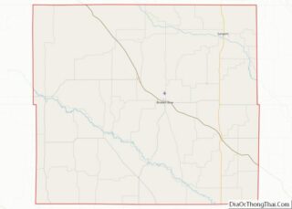
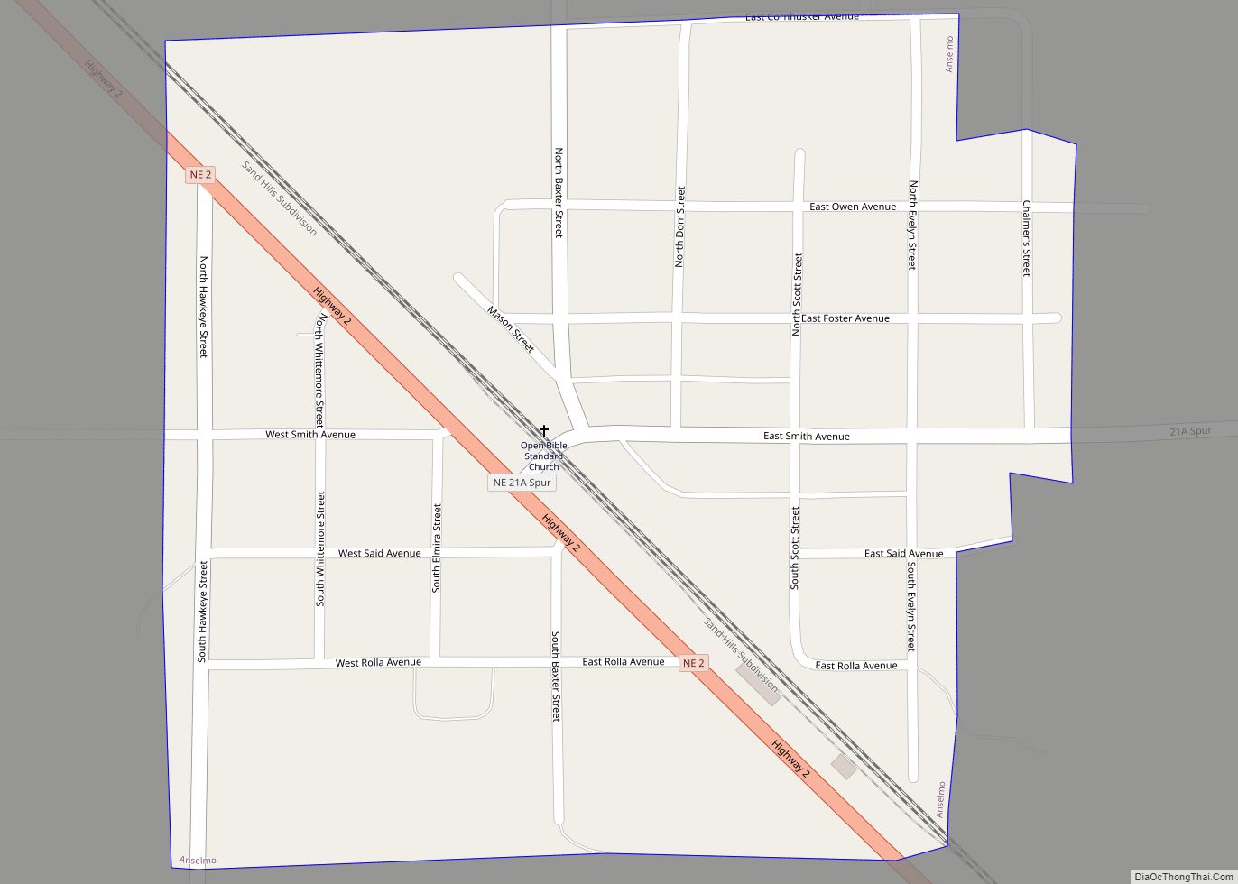
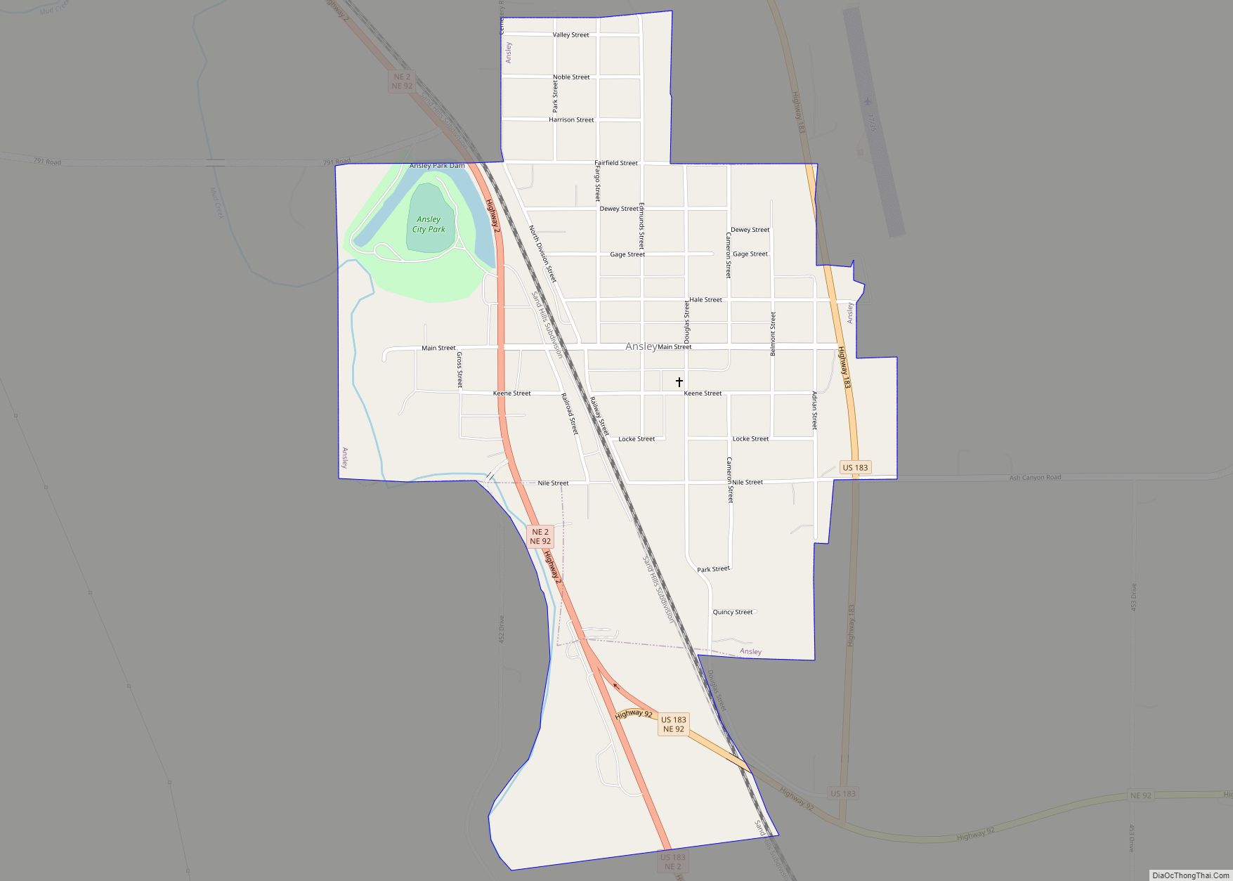
Sargent Road Map
Sargent city Satellite Map
Geography
According to the United States Census Bureau, the city has a total area of 1.07 square miles (2.77 km), all land.
Sargent is located on U.S. Route 183 (Ord Street) and is close to the geographic center of Nebraska. It lies next to the Middle Loup River.
See also
Map of Nebraska State and its subdivision:- Adams
- Antelope
- Arthur
- Banner
- Blaine
- Boone
- Box Butte
- Boyd
- Brown
- Buffalo
- Burt
- Butler
- Cass
- Cedar
- Chase
- Cherry
- Cheyenne
- Clay
- Colfax
- Cuming
- Custer
- Dakota
- Dawes
- Dawson
- Deuel
- Dixon
- Dodge
- Douglas
- Dundy
- Fillmore
- Franklin
- Frontier
- Furnas
- Gage
- Garden
- Garfield
- Gosper
- Grant
- Greeley
- Hall
- Hamilton
- Harlan
- Hayes
- Hitchcock
- Holt
- Hooker
- Howard
- Jefferson
- Johnson
- Kearney
- Keith
- Keya Paha
- Kimball
- Knox
- Lancaster
- Lincoln
- Logan
- Loup
- Madison
- McPherson
- Merrick
- Morrill
- Nance
- Nemaha
- Nuckolls
- Otoe
- Pawnee
- Perkins
- Phelps
- Pierce
- Platte
- Polk
- Red Willow
- Richardson
- Rock
- Saline
- Sarpy
- Saunders
- Scotts Bluff
- Seward
- Sheridan
- Sherman
- Sioux
- Stanton
- Thayer
- Thomas
- Thurston
- Valley
- Washington
- Wayne
- Webster
- Wheeler
- York
- Alabama
- Alaska
- Arizona
- Arkansas
- California
- Colorado
- Connecticut
- Delaware
- District of Columbia
- Florida
- Georgia
- Hawaii
- Idaho
- Illinois
- Indiana
- Iowa
- Kansas
- Kentucky
- Louisiana
- Maine
- Maryland
- Massachusetts
- Michigan
- Minnesota
- Mississippi
- Missouri
- Montana
- Nebraska
- Nevada
- New Hampshire
- New Jersey
- New Mexico
- New York
- North Carolina
- North Dakota
- Ohio
- Oklahoma
- Oregon
- Pennsylvania
- Rhode Island
- South Carolina
- South Dakota
- Tennessee
- Texas
- Utah
- Vermont
- Virginia
- Washington
- West Virginia
- Wisconsin
- Wyoming

