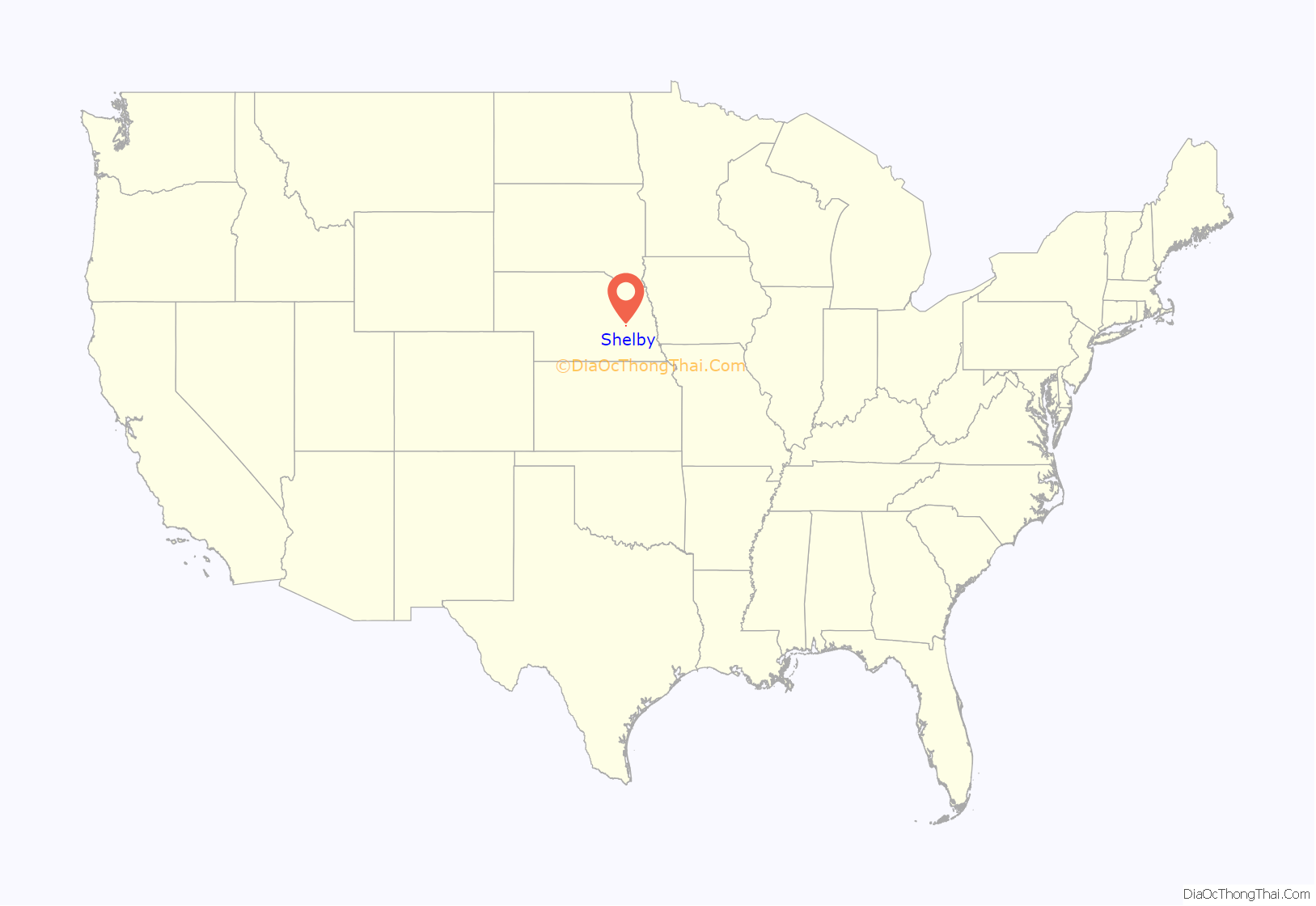
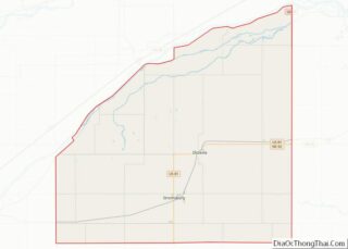
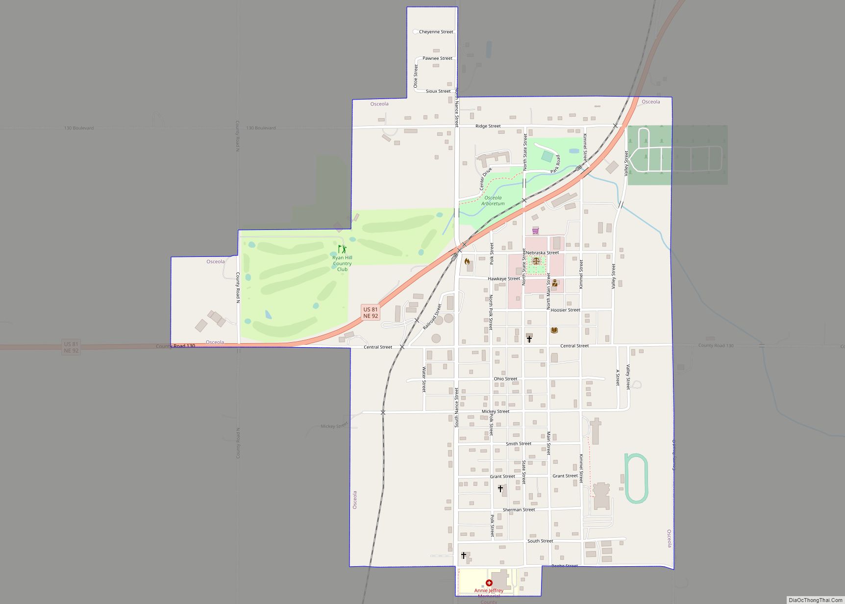
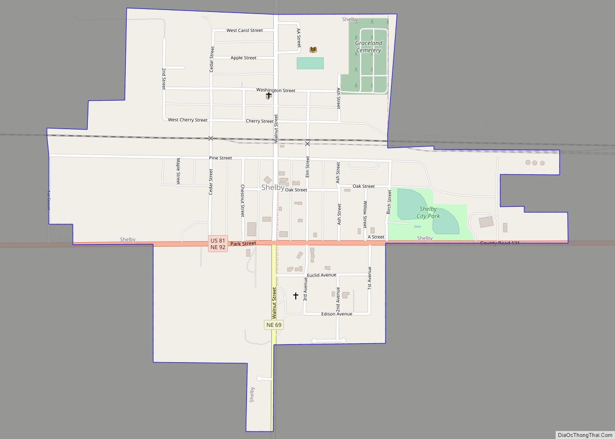
Shelby is a village in Polk County, Nebraska, United States. The population was 714 at the 2010 census. Shelby lies along the north side of U.S. Highway 81 near the eastern edge of Polk County. It is six miles (10 km) east of Osceola, and just 17 miles (27 km) south and three miles (5 km) west of Columbus. Nebraska’s center of population is near Shelby.
| Name: | Shelby village |
|---|---|
| LSAD Code: | 47 |
| LSAD Description: | village (suffix) |
| State: | Nebraska |
| County: | Polk County |
| Elevation: | 1,640 ft (500 m) |
| Total Area: | 0.56 sq mi (1.46 km²) |
| Land Area: | 0.56 sq mi (1.46 km²) |
| Water Area: | 0.00 sq mi (0.00 km²) |
| Total Population: | 710 |
| Population Density: | 1,263.35/sq mi (487.54/km²) |
| ZIP code: | 68662 |
| Area code: | 402 |
| FIPS code: | 3144595 |
| GNISfeature ID: | 0833371 |
Online Interactive Map
Click on ![]() to view map in "full screen" mode.
to view map in "full screen" mode.
Shelby location map. Where is Shelby village?
History
In 1873, Civil War veteran Horace A. Cowles set up the Cyclone post office in his home one mile east and one mile south of present-day Shelby. In 1879, with the coming of the railroad, a second post office named Arcade was established one mile east of the present site of Shelby. In the winter of 1880, the post office was moved again a mile west to where Shelby is today. Postal authorities objected to the name “Arcade” due to confusion with the town of Arcadia in Loup County. In search of a new name for the settlement, the people chose “Shelby”, after the name of an official with the Omaha and Republican Valley Railway (a branch of the Union Pacific). The land which Arcade was established on was owned by Gilbert Van Vorce and Peter Matter. Seeing a need for a trade center in the area, these men gave the railroad company half interest in their property and the town was established. After the railroad retained its 200 feet (61 m) on each side and closest to the tracks, eight blocks were located on each side parallel to the tracks. The original streets are still present and retain the names of Walnut, Elm, Chestnut, Pine, Cherry, and Oak.
In 1880 the town of Shelby boasted a population of 93 with businesses which included a drug store, hardware store, hotel, boot and shoe shop, livery stable, and physician. J.T. Dunning built the first elevator, located on the south side of the tracks along with the railway depot. The first store, owned by H.C. and Frank Dunning, sold general merchandise. Conrad Thelen and Charles Krumbach opened the first hardware store, which would run for 40 years.
Today Shelby has 690 residents, businesses, programs, community organizations, and a new housing development subdivision. Shelby celebrated its centennial in 1979 and its quasquicentennial in 2004.
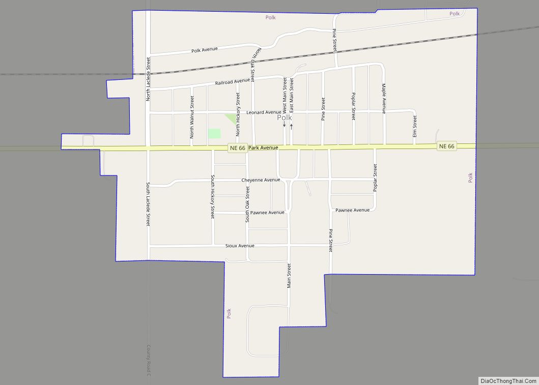
Shelby Road Map
Shelby city Satellite Map
Geography
Shelby is located at 41°11′39″N 97°25′36″W / 41.19417°N 97.42667°W / 41.19417; -97.42667 (41.194187, -97.426717).
According to the United States Census Bureau, the village has a total area of 0.56 square miles (1.45 km), all land.
See also
Map of Nebraska State and its subdivision:- Adams
- Antelope
- Arthur
- Banner
- Blaine
- Boone
- Box Butte
- Boyd
- Brown
- Buffalo
- Burt
- Butler
- Cass
- Cedar
- Chase
- Cherry
- Cheyenne
- Clay
- Colfax
- Cuming
- Custer
- Dakota
- Dawes
- Dawson
- Deuel
- Dixon
- Dodge
- Douglas
- Dundy
- Fillmore
- Franklin
- Frontier
- Furnas
- Gage
- Garden
- Garfield
- Gosper
- Grant
- Greeley
- Hall
- Hamilton
- Harlan
- Hayes
- Hitchcock
- Holt
- Hooker
- Howard
- Jefferson
- Johnson
- Kearney
- Keith
- Keya Paha
- Kimball
- Knox
- Lancaster
- Lincoln
- Logan
- Loup
- Madison
- McPherson
- Merrick
- Morrill
- Nance
- Nemaha
- Nuckolls
- Otoe
- Pawnee
- Perkins
- Phelps
- Pierce
- Platte
- Polk
- Red Willow
- Richardson
- Rock
- Saline
- Sarpy
- Saunders
- Scotts Bluff
- Seward
- Sheridan
- Sherman
- Sioux
- Stanton
- Thayer
- Thomas
- Thurston
- Valley
- Washington
- Wayne
- Webster
- Wheeler
- York
- Alabama
- Alaska
- Arizona
- Arkansas
- California
- Colorado
- Connecticut
- Delaware
- District of Columbia
- Florida
- Georgia
- Hawaii
- Idaho
- Illinois
- Indiana
- Iowa
- Kansas
- Kentucky
- Louisiana
- Maine
- Maryland
- Massachusetts
- Michigan
- Minnesota
- Mississippi
- Missouri
- Montana
- Nebraska
- Nevada
- New Hampshire
- New Jersey
- New Mexico
- New York
- North Carolina
- North Dakota
- Ohio
- Oklahoma
- Oregon
- Pennsylvania
- Rhode Island
- South Carolina
- South Dakota
- Tennessee
- Texas
- Utah
- Vermont
- Virginia
- Washington
- West Virginia
- Wisconsin
- Wyoming
