Springfield is a city in Sarpy County, Nebraska, United States. The population was 1,501 at the 2020 census.
| Name: | Springfield city |
|---|---|
| LSAD Code: | 25 |
| LSAD Description: | city (suffix) |
| State: | Nebraska |
| County: | Sarpy County |
| Elevation: | 1,109 ft (338 m) |
| Total Area: | 1.62 sq mi (4.19 km²) |
| Land Area: | 1.62 sq mi (4.19 km²) |
| Water Area: | 0.00 sq mi (0.00 km²) |
| Total Population: | 1,501 |
| Population Density: | 928.84/sq mi (358.60/km²) |
| ZIP code: | 68059 |
| Area code: | 402, 531 |
| FIPS code: | 3146520 |
| GNISfeature ID: | 2395943 |
| Website: | www.springfieldnebraska.com |
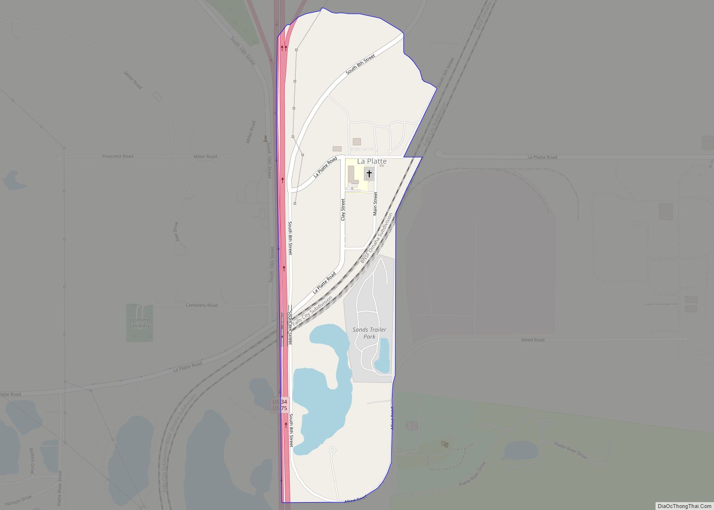
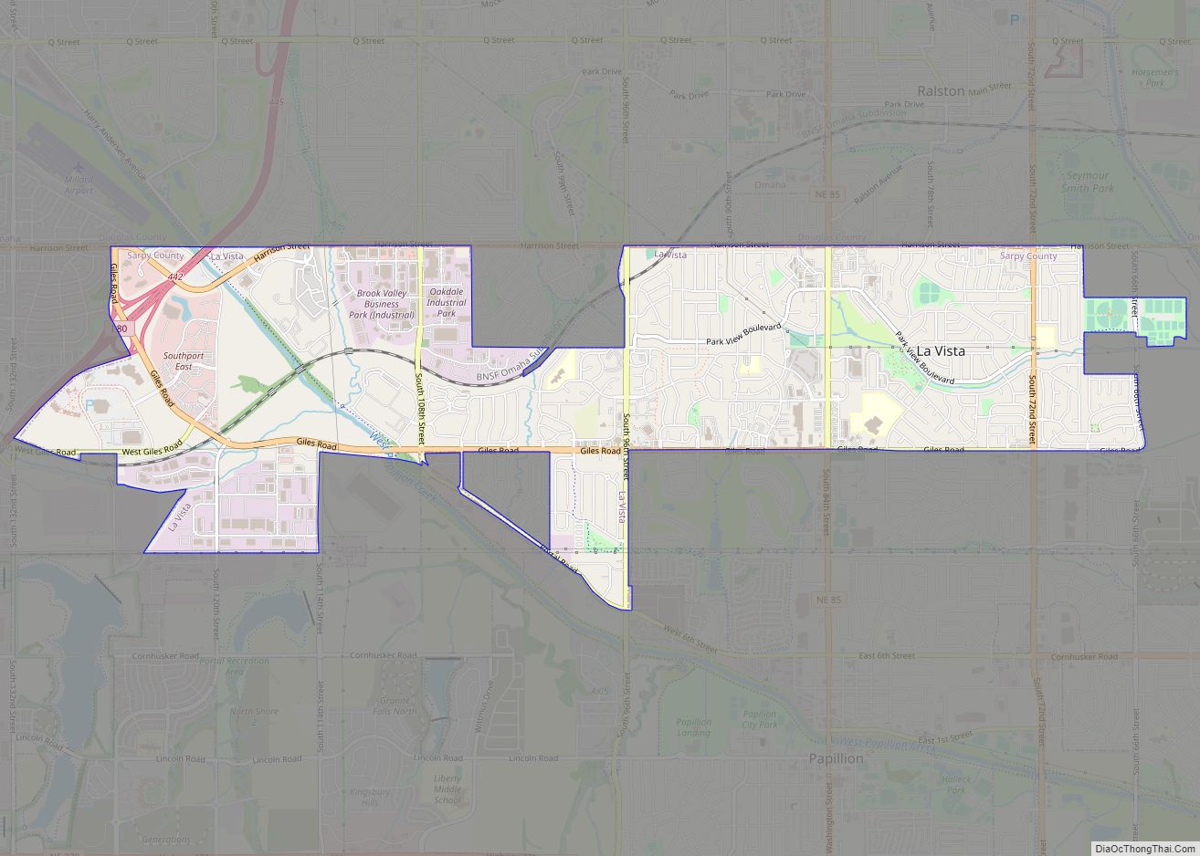
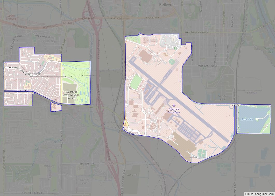
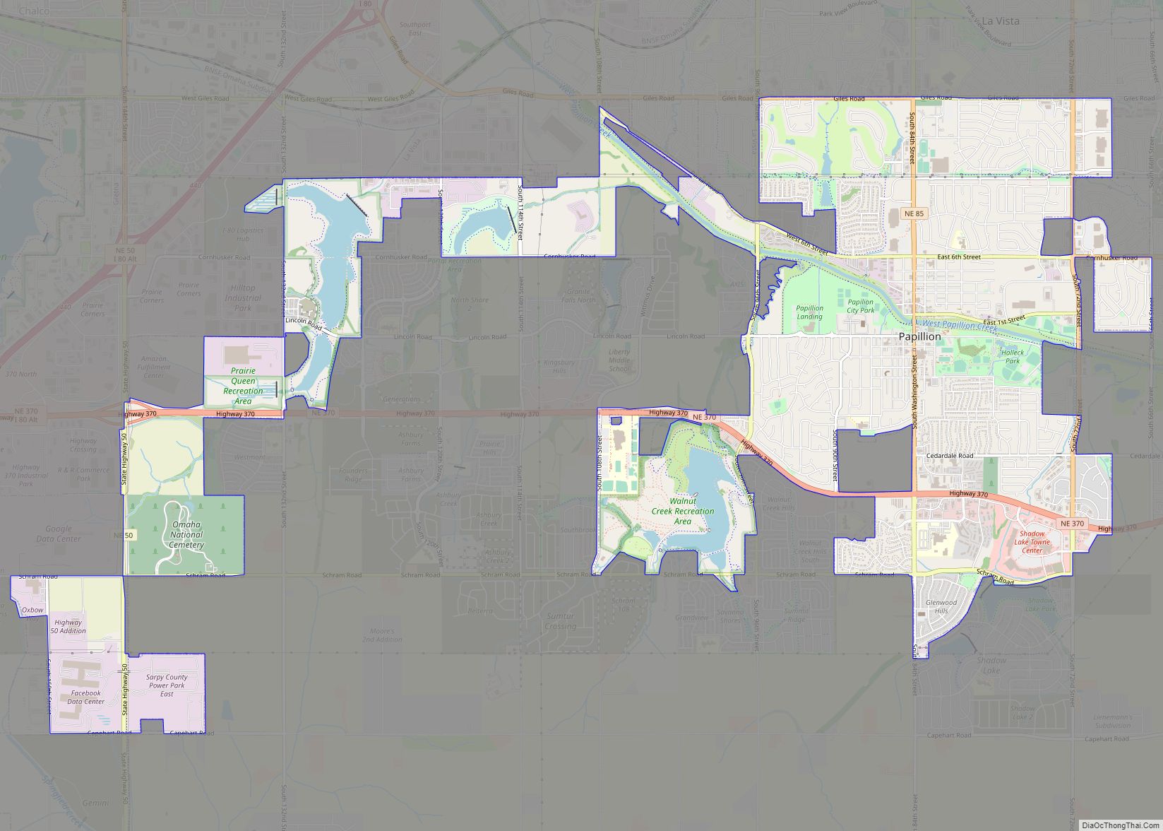
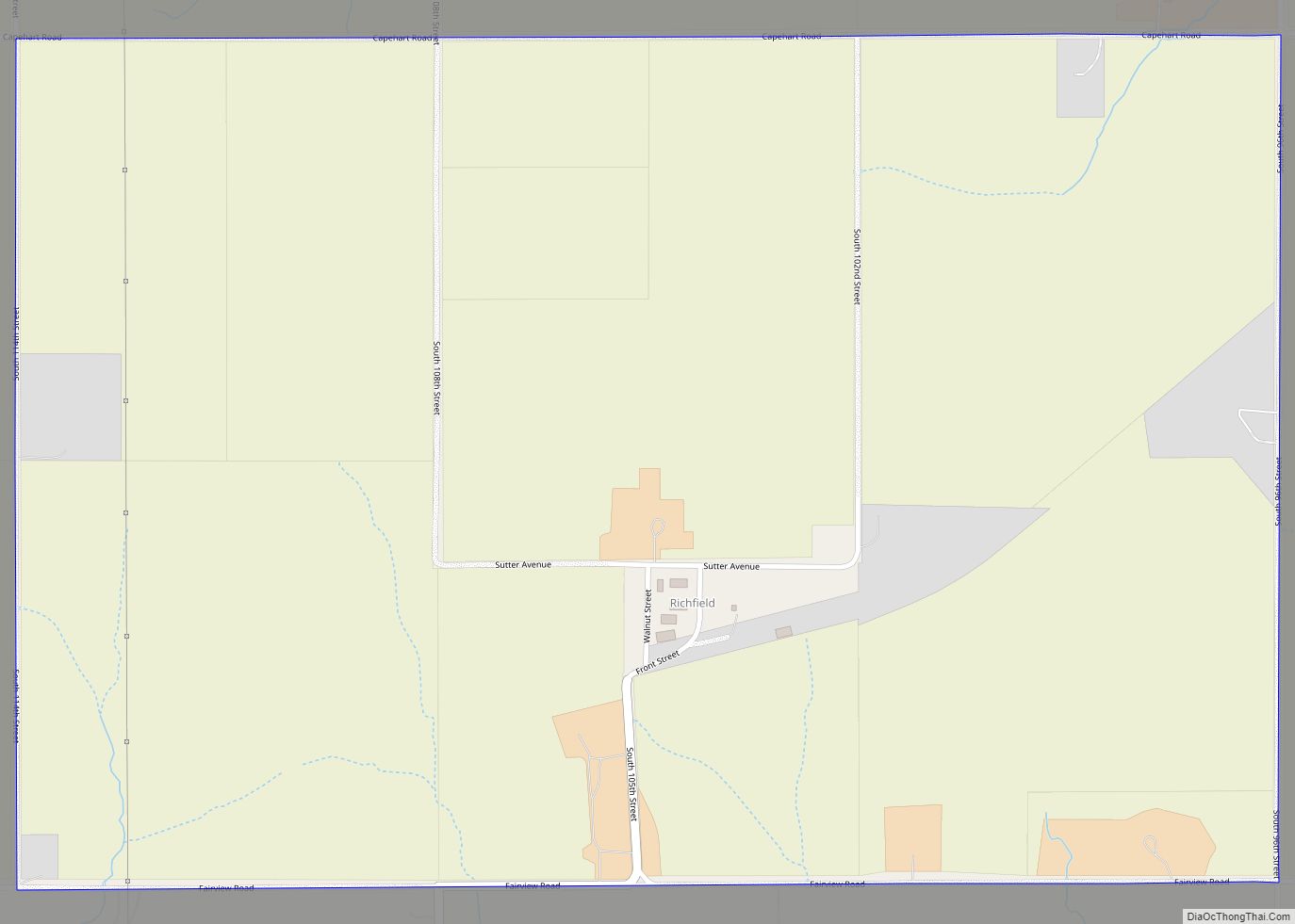
Online Interactive Map
Click on ![]() to view map in "full screen" mode.
to view map in "full screen" mode.
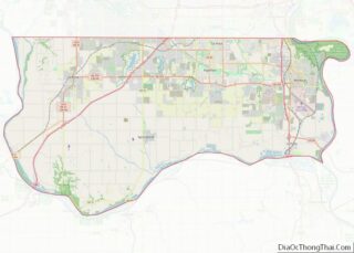
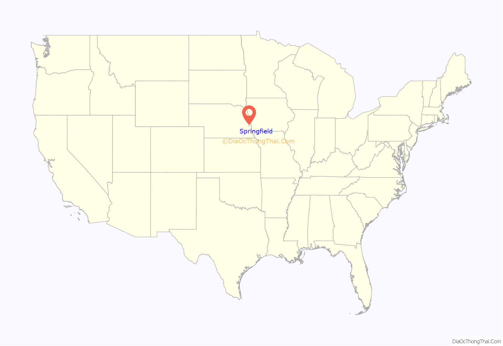
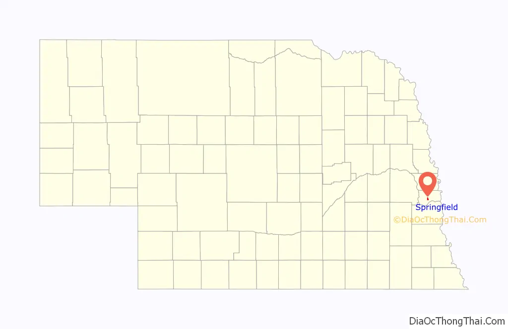
Springfield location map. Where is Springfield city?
History
Springfield was platted in 1873 by a U.S. Civil War veteran named J. D. Spearman. This was done in anticipation of the coming of the Missouri Pacific Railroad. The town was named from several springs nearby.
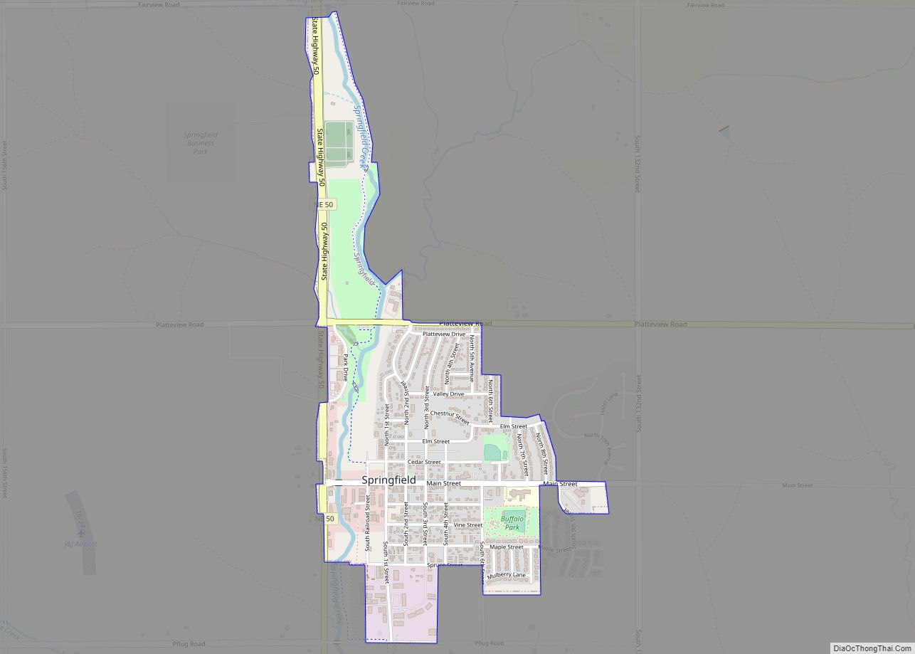
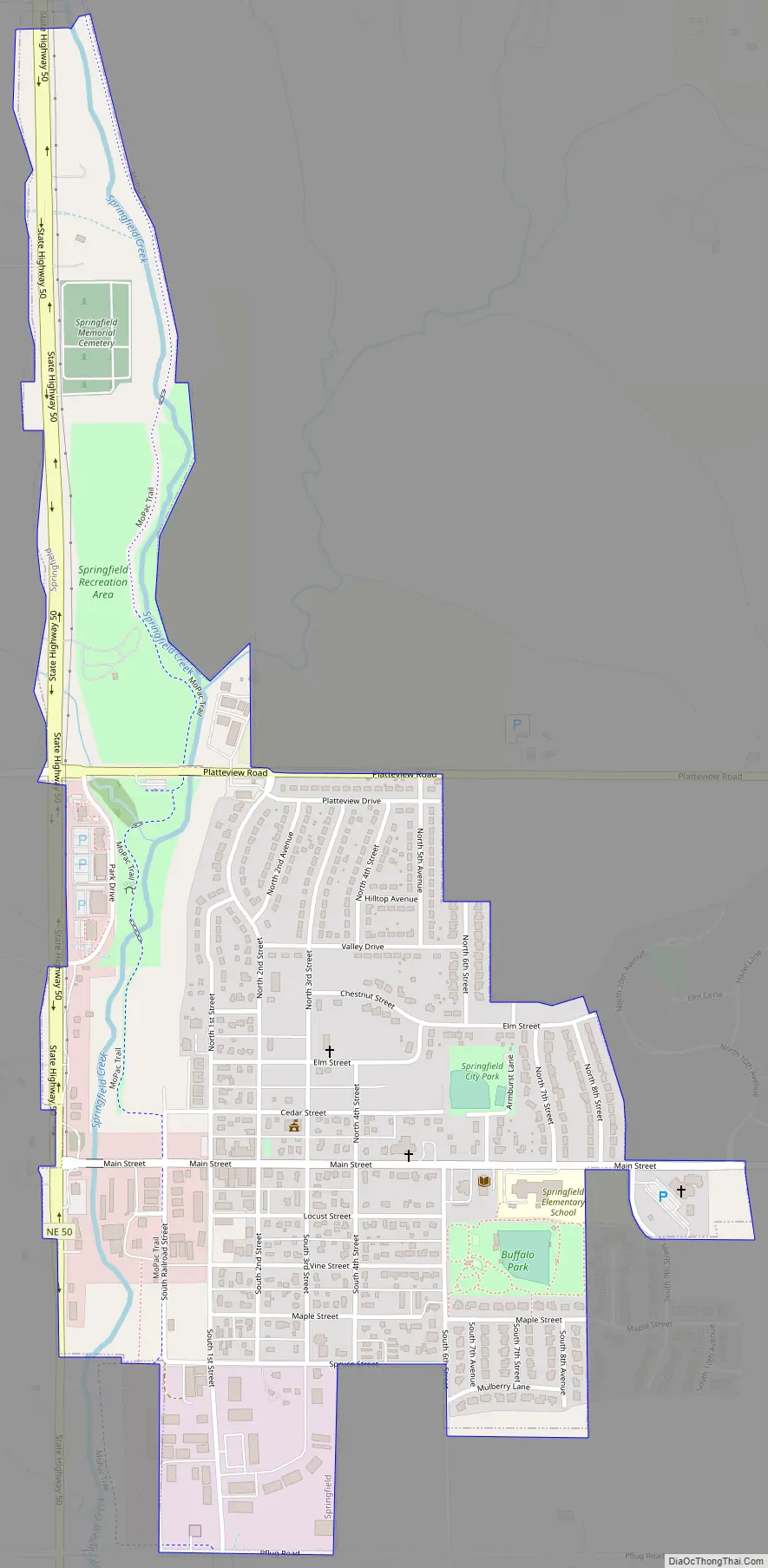
Springfield Road Map
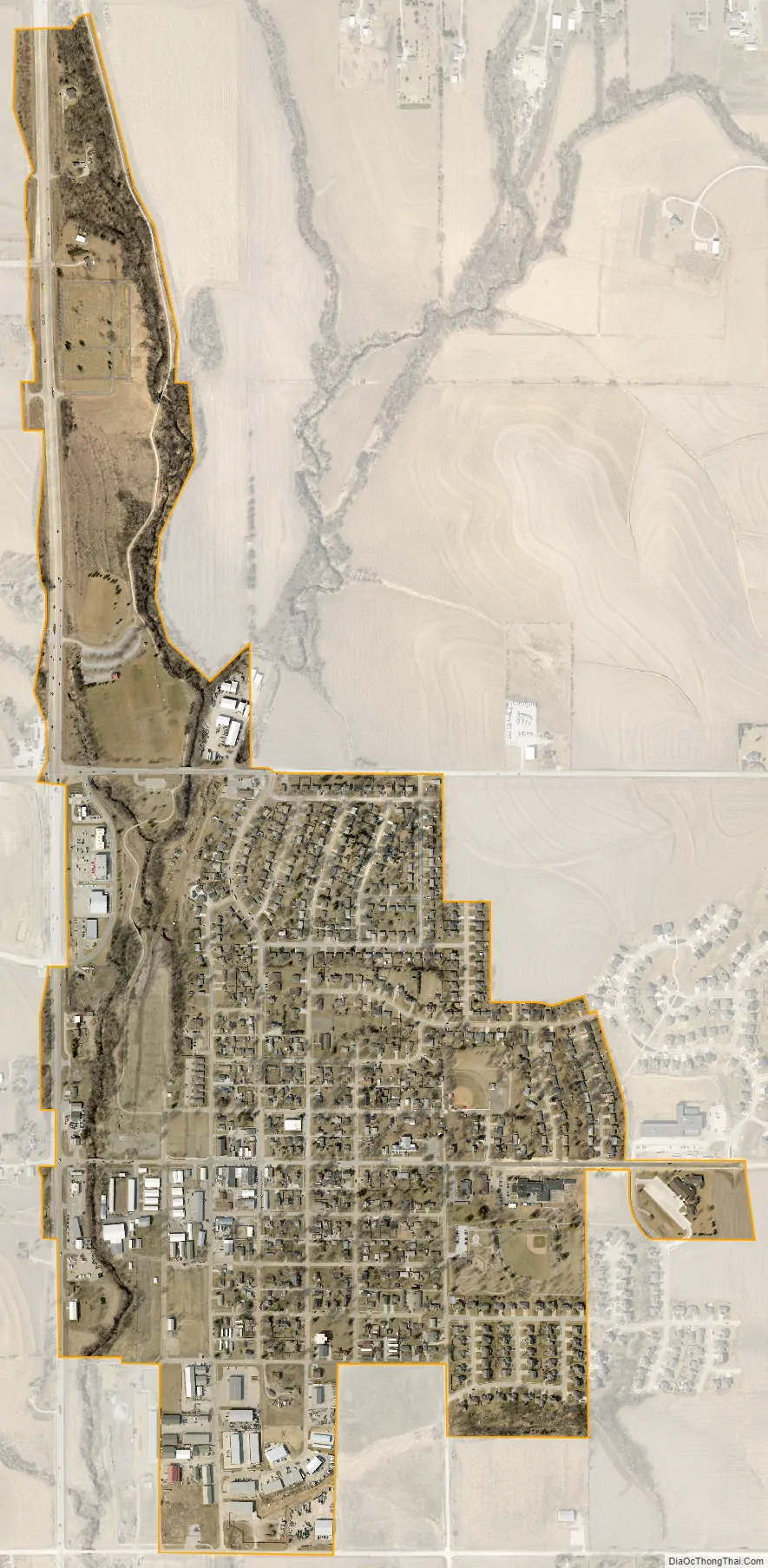
Springfield city Satellite Map
Geography
According to the United States Census Bureau, the city has a total area of 0.69 square miles (1.79 km), all land.
The nearest hospital is Midlands Hospital (9.1 miles distant), located in Papillion. Papillion is also the location of the county courthouse.
See also
Map of Nebraska State and its subdivision:- Adams
- Antelope
- Arthur
- Banner
- Blaine
- Boone
- Box Butte
- Boyd
- Brown
- Buffalo
- Burt
- Butler
- Cass
- Cedar
- Chase
- Cherry
- Cheyenne
- Clay
- Colfax
- Cuming
- Custer
- Dakota
- Dawes
- Dawson
- Deuel
- Dixon
- Dodge
- Douglas
- Dundy
- Fillmore
- Franklin
- Frontier
- Furnas
- Gage
- Garden
- Garfield
- Gosper
- Grant
- Greeley
- Hall
- Hamilton
- Harlan
- Hayes
- Hitchcock
- Holt
- Hooker
- Howard
- Jefferson
- Johnson
- Kearney
- Keith
- Keya Paha
- Kimball
- Knox
- Lancaster
- Lincoln
- Logan
- Loup
- Madison
- McPherson
- Merrick
- Morrill
- Nance
- Nemaha
- Nuckolls
- Otoe
- Pawnee
- Perkins
- Phelps
- Pierce
- Platte
- Polk
- Red Willow
- Richardson
- Rock
- Saline
- Sarpy
- Saunders
- Scotts Bluff
- Seward
- Sheridan
- Sherman
- Sioux
- Stanton
- Thayer
- Thomas
- Thurston
- Valley
- Washington
- Wayne
- Webster
- Wheeler
- York
- Alabama
- Alaska
- Arizona
- Arkansas
- California
- Colorado
- Connecticut
- Delaware
- District of Columbia
- Florida
- Georgia
- Hawaii
- Idaho
- Illinois
- Indiana
- Iowa
- Kansas
- Kentucky
- Louisiana
- Maine
- Maryland
- Massachusetts
- Michigan
- Minnesota
- Mississippi
- Missouri
- Montana
- Nebraska
- Nevada
- New Hampshire
- New Jersey
- New Mexico
- New York
- North Carolina
- North Dakota
- Ohio
- Oklahoma
- Oregon
- Pennsylvania
- Rhode Island
- South Carolina
- South Dakota
- Tennessee
- Texas
- Utah
- Vermont
- Virginia
- Washington
- West Virginia
- Wisconsin
- Wyoming