Walton is an unincorporated community and census-designated place in Lancaster County, Nebraska, United States. Walton had a population of 306 as of the 2010 census. The headquarters of the Cornhusker Council of the Boy Scouts of America are located in Walton.
| Name: | Walton CDP |
|---|---|
| LSAD Code: | 57 |
| LSAD Description: | CDP (suffix) |
| State: | Nebraska |
| County: | Lancaster County |
| Elevation: | 1,217 ft (371 m) |
| Total Area: | 3.46 sq mi (8.97 km²) |
| Land Area: | 3.46 sq mi (8.97 km²) |
| Water Area: | 0.00 sq mi (0.00 km²) |
| Total Population: | 351 |
| Population Density: | 101.33/sq mi (39.12/km²) |
| ZIP code: | 68461 |
| Area code: | 402 |
| FIPS code: | 3151280 |
| GNISfeature ID: | 2583903 |
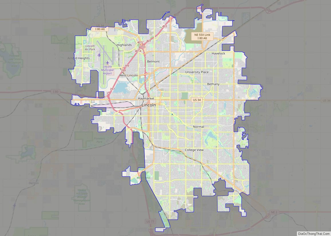
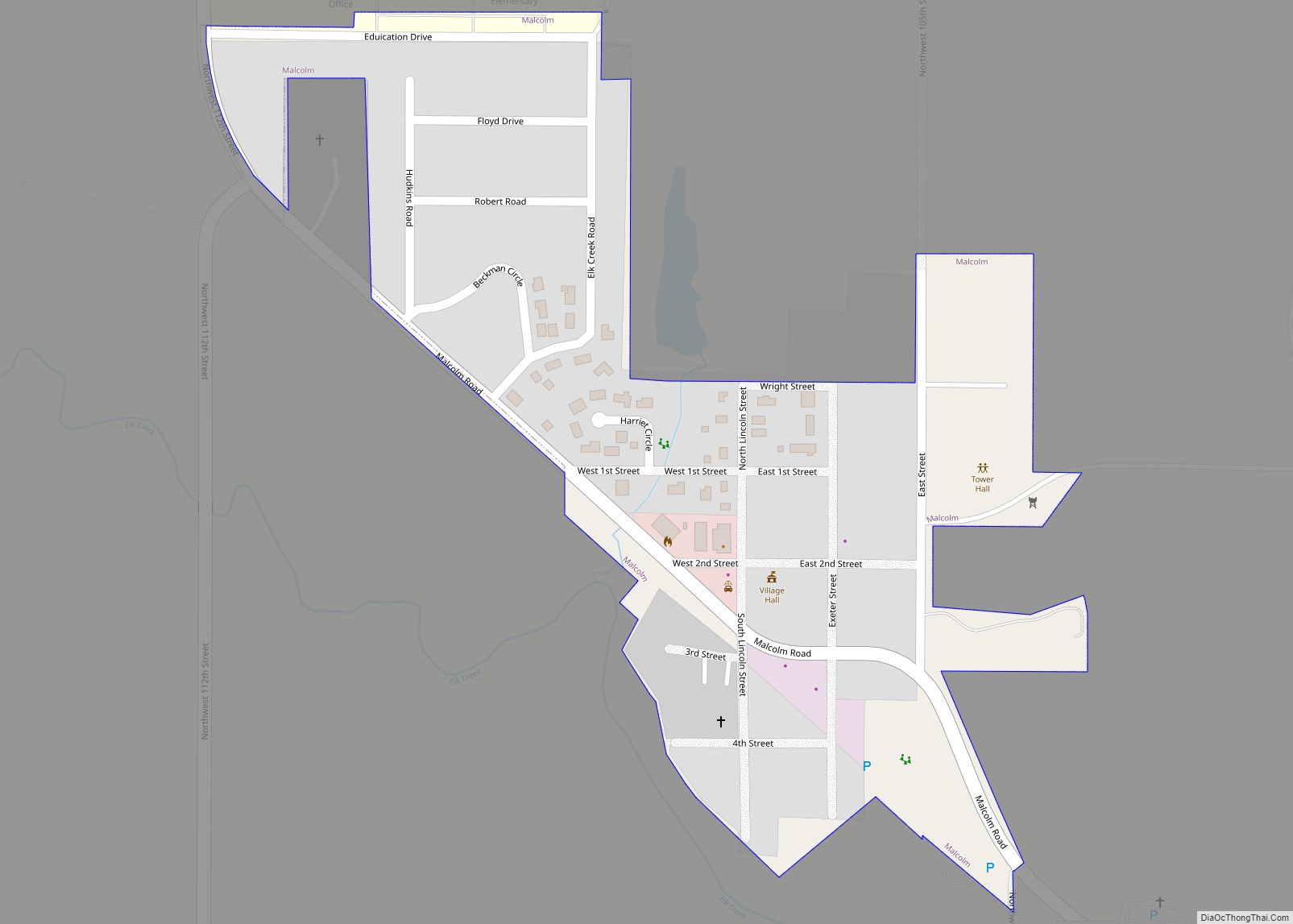
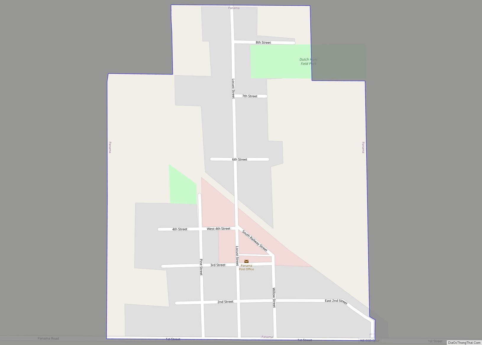
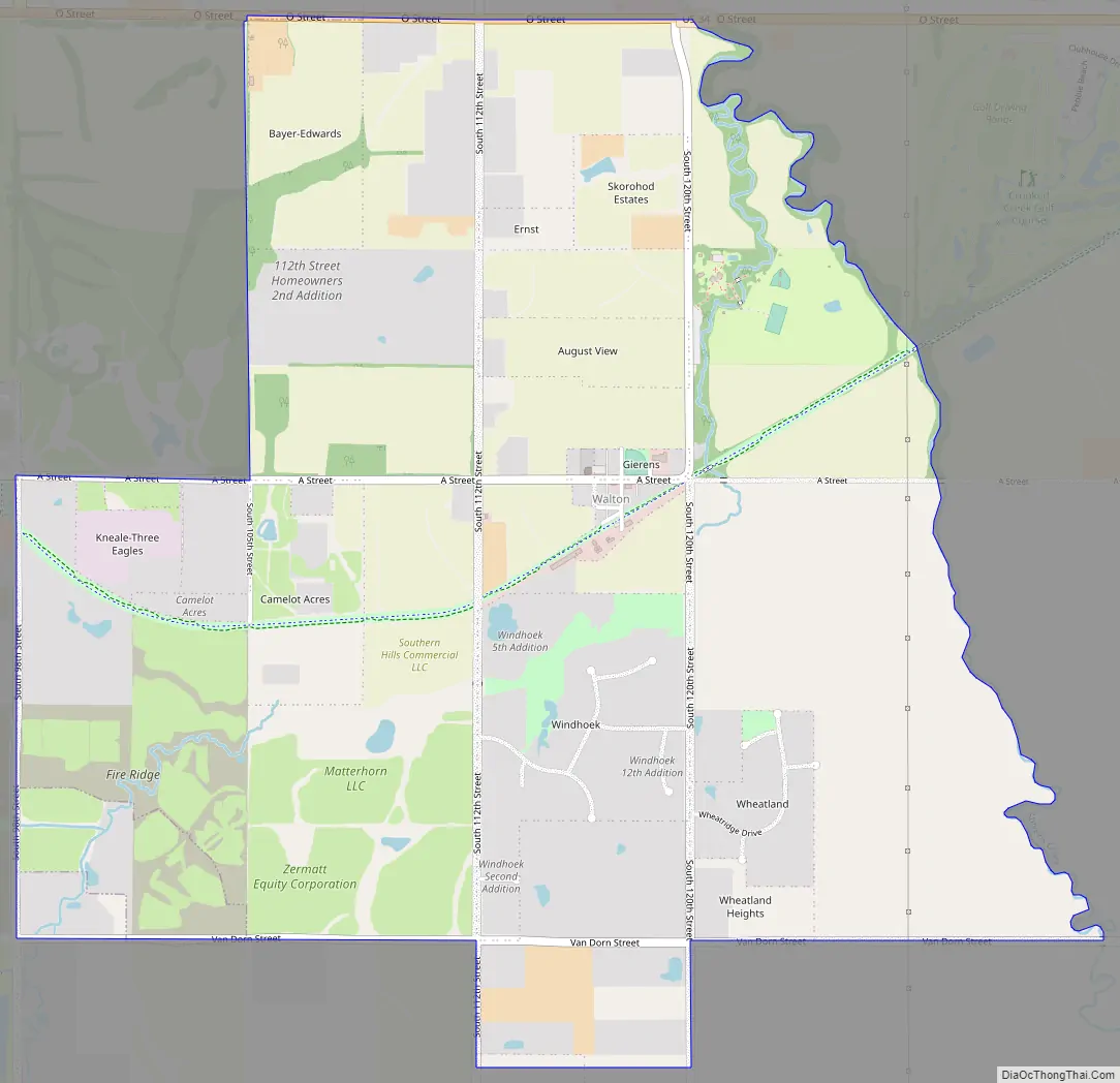
Online Interactive Map
Click on ![]() to view map in "full screen" mode.
to view map in "full screen" mode.
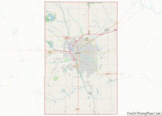
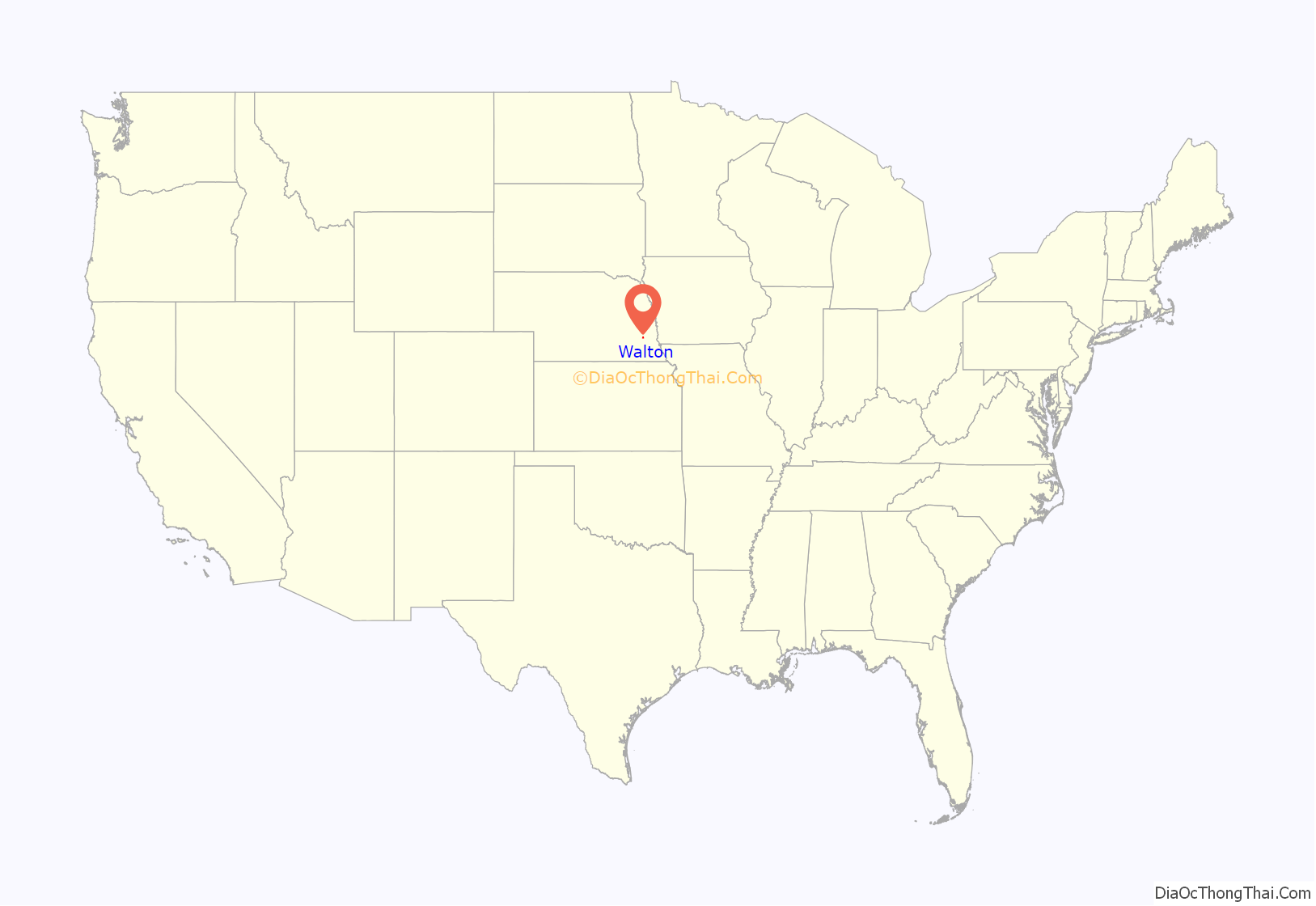
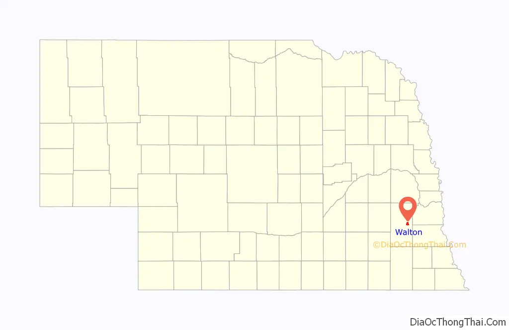
Walton location map. Where is Walton CDP?
History
The first and only post office in Walton was established in 1880. The community was named for A. Walton, a pioneer settler.
Walton Road Map
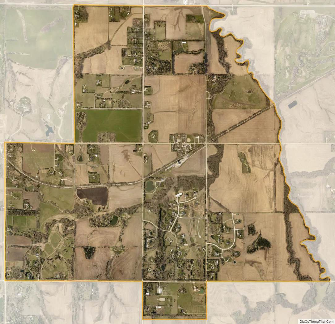
Walton city Satellite Map
Geography
Walton is in eastern Lancaster County, just east of the city limits of Lincoln, the state capital. U.S. Route 34 is the northern border of the CDP; the highway leads west 7 miles (11 km) to the center of Lincoln and east 33 miles (53 km) to Union.
According to the U.S. Census Bureau, the Walton CDP has an area of 3.6 square miles (9.2 km), all land. It is drained by Stevens Creek, which forms the eastern boundary of the CDP and flows north to Salt Creek, a northeast-flowing tributary of the Platte River.
See also
Map of Nebraska State and its subdivision:- Adams
- Antelope
- Arthur
- Banner
- Blaine
- Boone
- Box Butte
- Boyd
- Brown
- Buffalo
- Burt
- Butler
- Cass
- Cedar
- Chase
- Cherry
- Cheyenne
- Clay
- Colfax
- Cuming
- Custer
- Dakota
- Dawes
- Dawson
- Deuel
- Dixon
- Dodge
- Douglas
- Dundy
- Fillmore
- Franklin
- Frontier
- Furnas
- Gage
- Garden
- Garfield
- Gosper
- Grant
- Greeley
- Hall
- Hamilton
- Harlan
- Hayes
- Hitchcock
- Holt
- Hooker
- Howard
- Jefferson
- Johnson
- Kearney
- Keith
- Keya Paha
- Kimball
- Knox
- Lancaster
- Lincoln
- Logan
- Loup
- Madison
- McPherson
- Merrick
- Morrill
- Nance
- Nemaha
- Nuckolls
- Otoe
- Pawnee
- Perkins
- Phelps
- Pierce
- Platte
- Polk
- Red Willow
- Richardson
- Rock
- Saline
- Sarpy
- Saunders
- Scotts Bluff
- Seward
- Sheridan
- Sherman
- Sioux
- Stanton
- Thayer
- Thomas
- Thurston
- Valley
- Washington
- Wayne
- Webster
- Wheeler
- York
- Alabama
- Alaska
- Arizona
- Arkansas
- California
- Colorado
- Connecticut
- Delaware
- District of Columbia
- Florida
- Georgia
- Hawaii
- Idaho
- Illinois
- Indiana
- Iowa
- Kansas
- Kentucky
- Louisiana
- Maine
- Maryland
- Massachusetts
- Michigan
- Minnesota
- Mississippi
- Missouri
- Montana
- Nebraska
- Nevada
- New Hampshire
- New Jersey
- New Mexico
- New York
- North Carolina
- North Dakota
- Ohio
- Oklahoma
- Oregon
- Pennsylvania
- Rhode Island
- South Carolina
- South Dakota
- Tennessee
- Texas
- Utah
- Vermont
- Virginia
- Washington
- West Virginia
- Wisconsin
- Wyoming