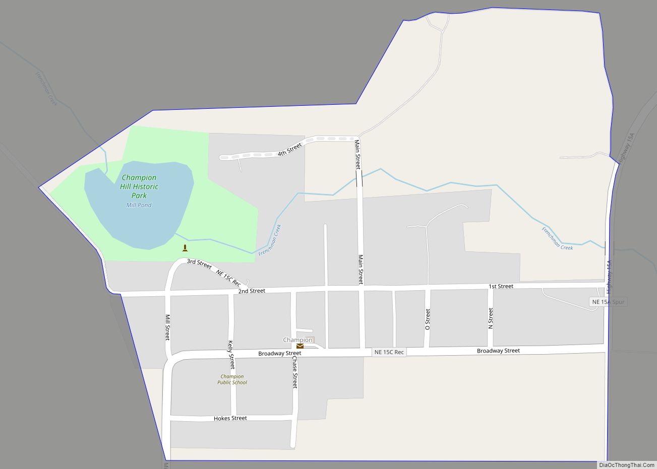
Wauneta is a village in Chase County, Nebraska, United States. The population was 577 at the 2010 census. It lies along U.S. Route 6, southeast of the city of Imperial, the county seat of Chase County. Its elevation is 2,942 feet (897 m). Wauneta’s ZIP code is 69045.
| Name: | Wauneta village |
|---|---|
| LSAD Code: | 47 |
| LSAD Description: | village (suffix) |
| State: | Nebraska |
| County: | Chase County |
| Elevation: | 2,943 ft (897 m) |
| Total Area: | 0.97 sq mi (2.51 km²) |
| Land Area: | 0.97 sq mi (2.51 km²) |
| Water Area: | 0.00 sq mi (0.00 km²) |
| Total Population: | 549 |
| Population Density: | 566.56/sq mi (218.81/km²) |
| ZIP code: | 69045 |
| Area code: | 308 |
| FIPS code: | 3151700 |
| GNISfeature ID: | 0834507 |
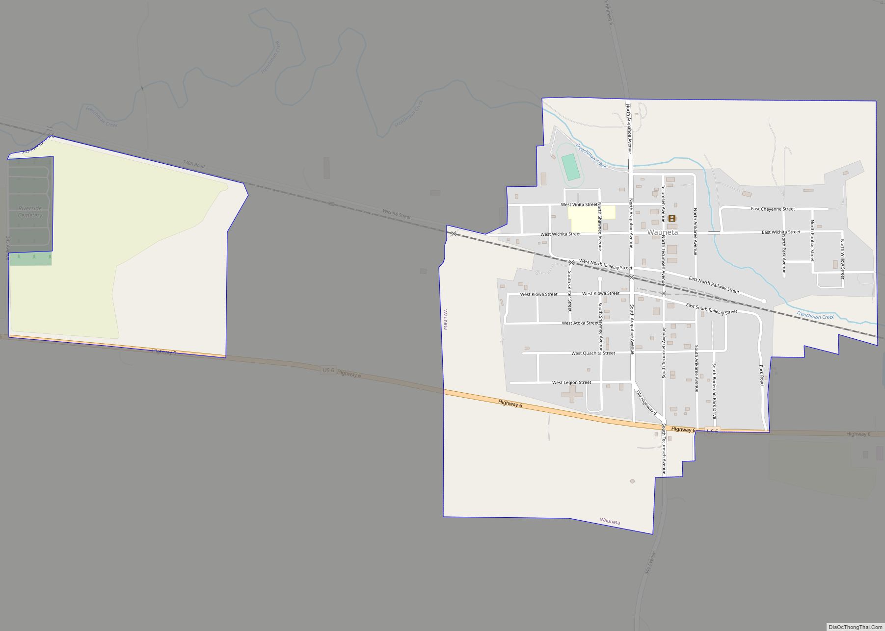
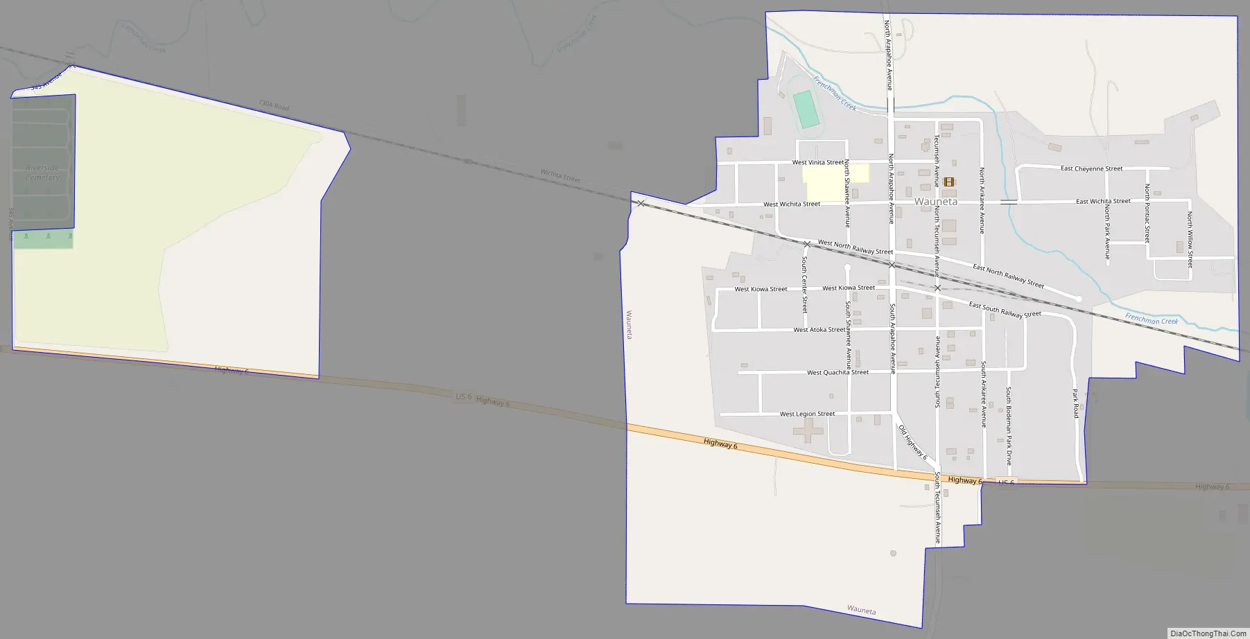
Online Interactive Map
Click on ![]() to view map in "full screen" mode.
to view map in "full screen" mode.
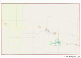
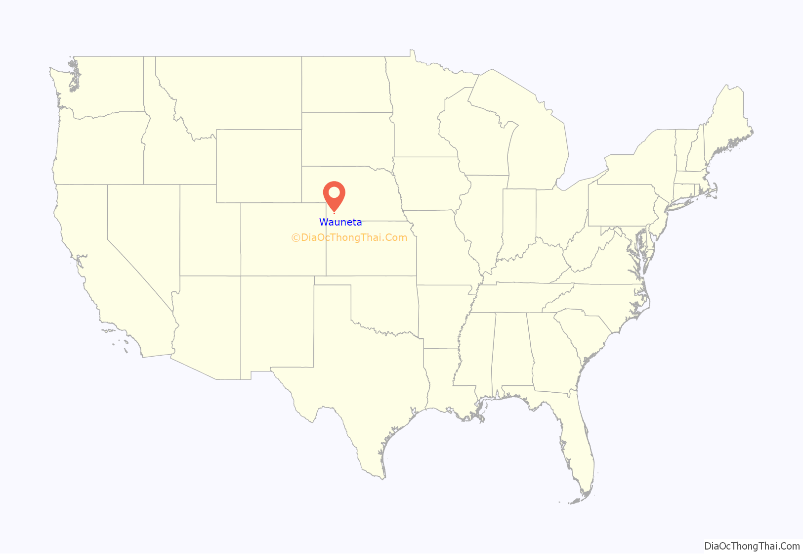
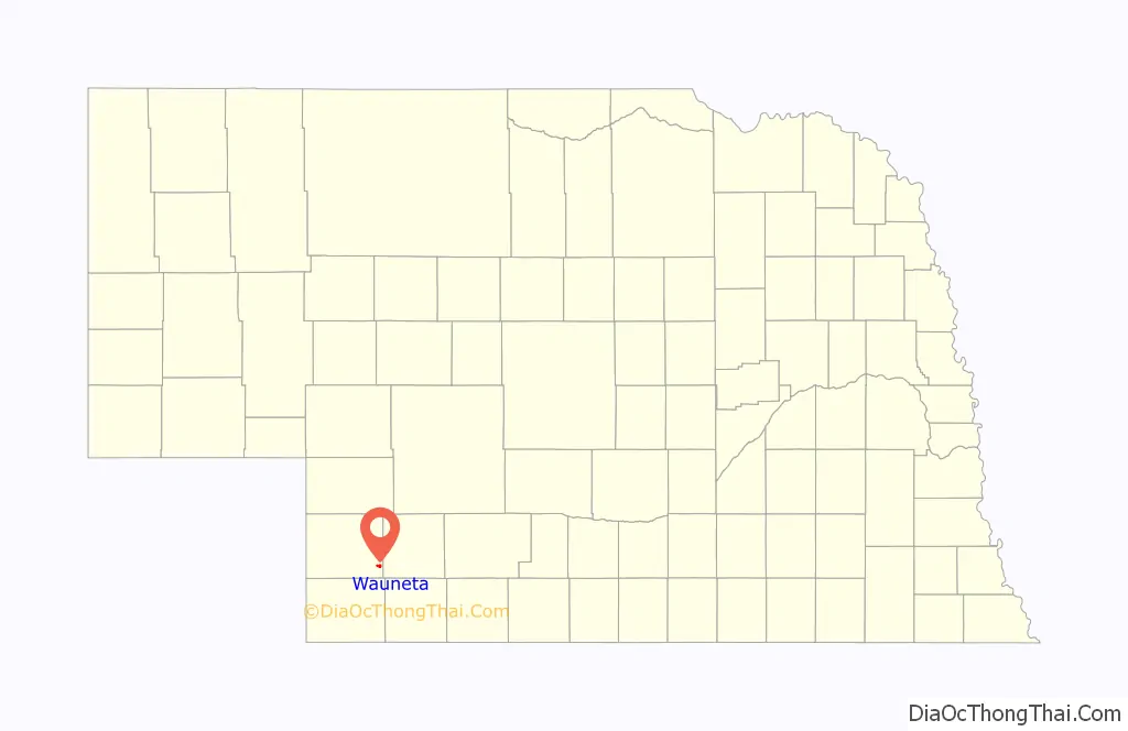
Wauneta location map. Where is Wauneta village?
History
The first white settlers at Wauneta were George Rowley and his wife who built a sod house at the Wauneta Falls in 1875. The first post office was established in 1877. A post office has continuously served Wauneta since 1886. The local newspaper “The Wauneta Breeze” has served the community since 1887.
The railroad reached Wauneta in 1892. This line was built by a division of the Chicago, Burlington and Quincy Railroad. This line left the main line near Culbertson and terminated in Imperial.
National Register of Historic Places listings
- Wauneta Roller Mills (listed 2008)
- Lovett Site (listed 1972) is northwest of Wauneta
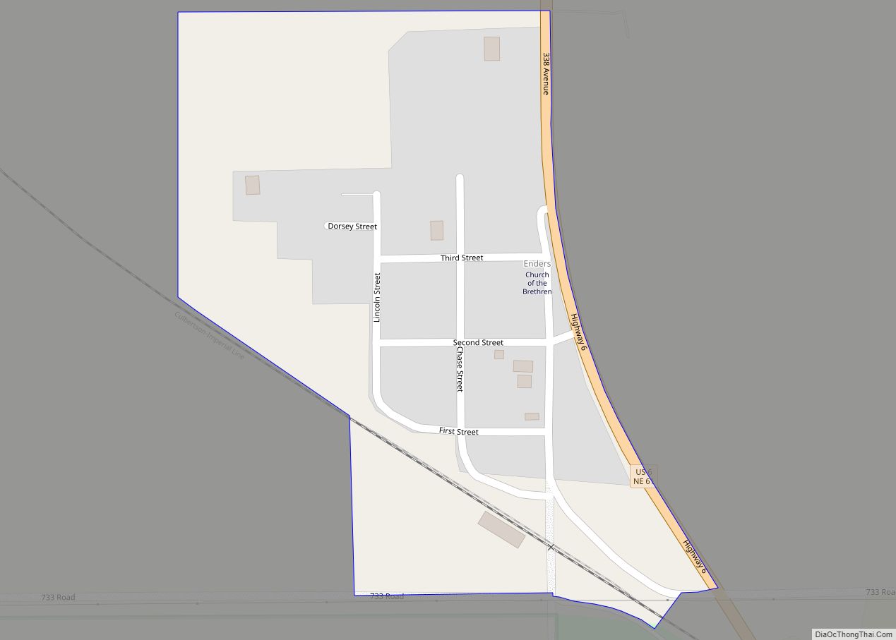
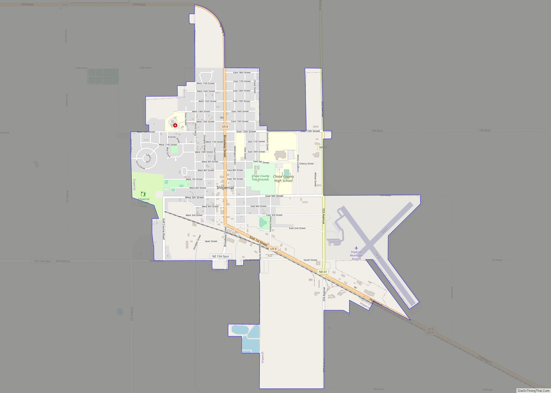
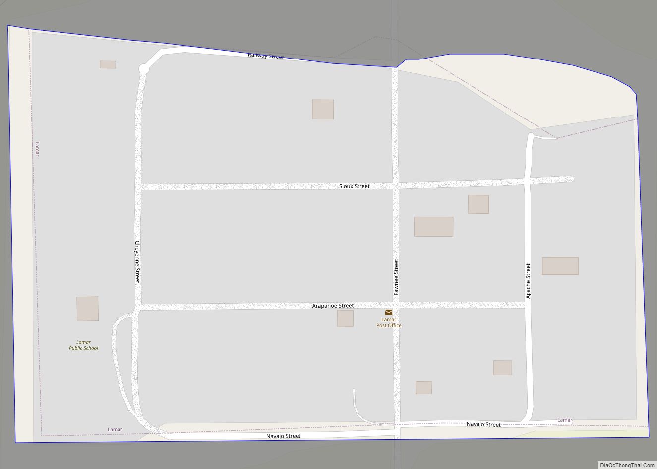
Wauneta Road Map
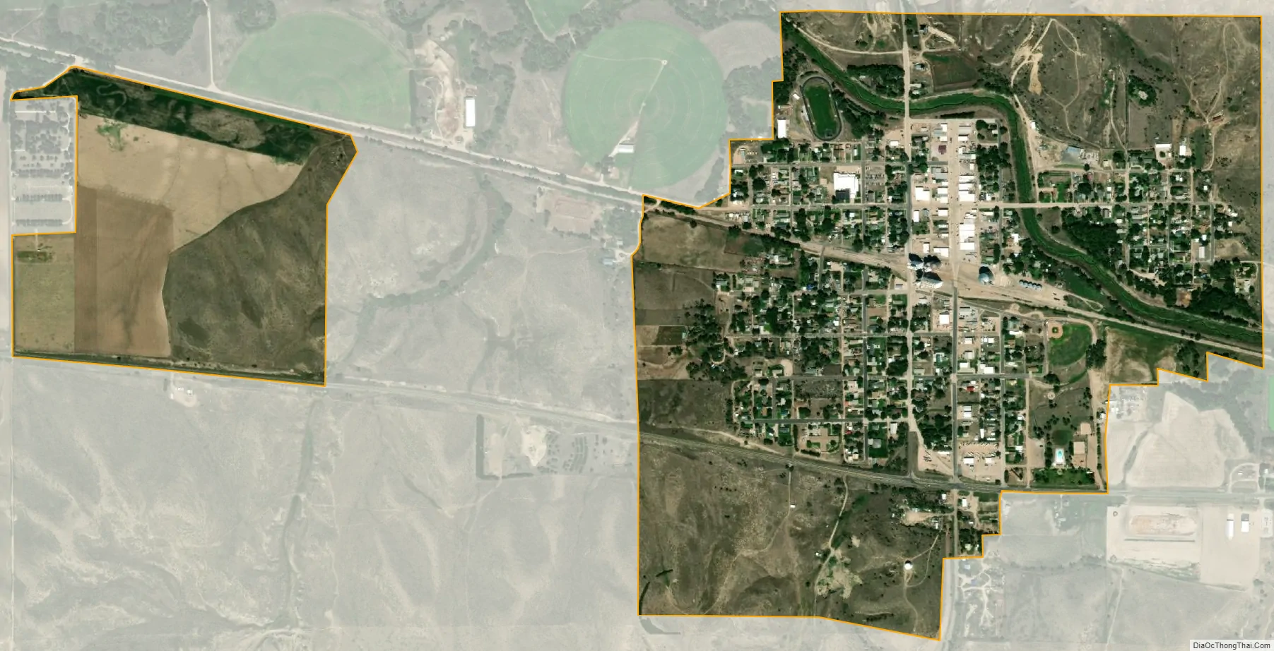
Wauneta city Satellite Map
Geography
Wauneta is located at 40°25′1″N 101°22′19″W / 40.41694°N 101.37194°W / 40.41694; -101.37194 (40.417072, -101.372019).
According to the United States Census Bureau, the village has a total area of 0.97 square miles (2.51 km), all land.
See also
Map of Nebraska State and its subdivision:- Adams
- Antelope
- Arthur
- Banner
- Blaine
- Boone
- Box Butte
- Boyd
- Brown
- Buffalo
- Burt
- Butler
- Cass
- Cedar
- Chase
- Cherry
- Cheyenne
- Clay
- Colfax
- Cuming
- Custer
- Dakota
- Dawes
- Dawson
- Deuel
- Dixon
- Dodge
- Douglas
- Dundy
- Fillmore
- Franklin
- Frontier
- Furnas
- Gage
- Garden
- Garfield
- Gosper
- Grant
- Greeley
- Hall
- Hamilton
- Harlan
- Hayes
- Hitchcock
- Holt
- Hooker
- Howard
- Jefferson
- Johnson
- Kearney
- Keith
- Keya Paha
- Kimball
- Knox
- Lancaster
- Lincoln
- Logan
- Loup
- Madison
- McPherson
- Merrick
- Morrill
- Nance
- Nemaha
- Nuckolls
- Otoe
- Pawnee
- Perkins
- Phelps
- Pierce
- Platte
- Polk
- Red Willow
- Richardson
- Rock
- Saline
- Sarpy
- Saunders
- Scotts Bluff
- Seward
- Sheridan
- Sherman
- Sioux
- Stanton
- Thayer
- Thomas
- Thurston
- Valley
- Washington
- Wayne
- Webster
- Wheeler
- York
- Alabama
- Alaska
- Arizona
- Arkansas
- California
- Colorado
- Connecticut
- Delaware
- District of Columbia
- Florida
- Georgia
- Hawaii
- Idaho
- Illinois
- Indiana
- Iowa
- Kansas
- Kentucky
- Louisiana
- Maine
- Maryland
- Massachusetts
- Michigan
- Minnesota
- Mississippi
- Missouri
- Montana
- Nebraska
- Nevada
- New Hampshire
- New Jersey
- New Mexico
- New York
- North Carolina
- North Dakota
- Ohio
- Oklahoma
- Oregon
- Pennsylvania
- Rhode Island
- South Carolina
- South Dakota
- Tennessee
- Texas
- Utah
- Vermont
- Virginia
- Washington
- West Virginia
- Wisconsin
- Wyoming