Wausa is a village in Knox County, Nebraska, United States. The population was 634 at the 2010 census.
| Name: | Wausa village |
|---|---|
| LSAD Code: | 47 |
| LSAD Description: | village (suffix) |
| State: | Nebraska |
| County: | Knox County |
| Elevation: | 1,765 ft (538 m) |
| Total Area: | 0.52 sq mi (1.36 km²) |
| Land Area: | 0.52 sq mi (1.36 km²) |
| Water Area: | 0.00 sq mi (0.00 km²) |
| Total Population: | 592 |
| Population Density: | 1,129.77/sq mi (435.85/km²) |
| ZIP code: | 68786 |
| Area code: | 402 |
| FIPS code: | 3151735 |
| GNISfeature ID: | 0834509 |
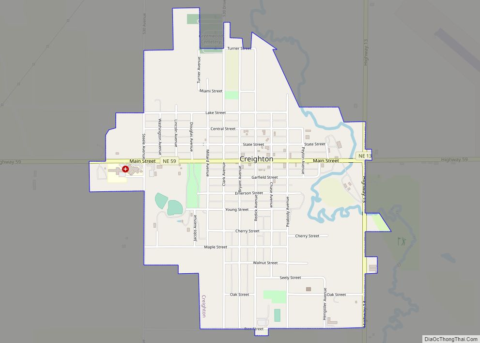
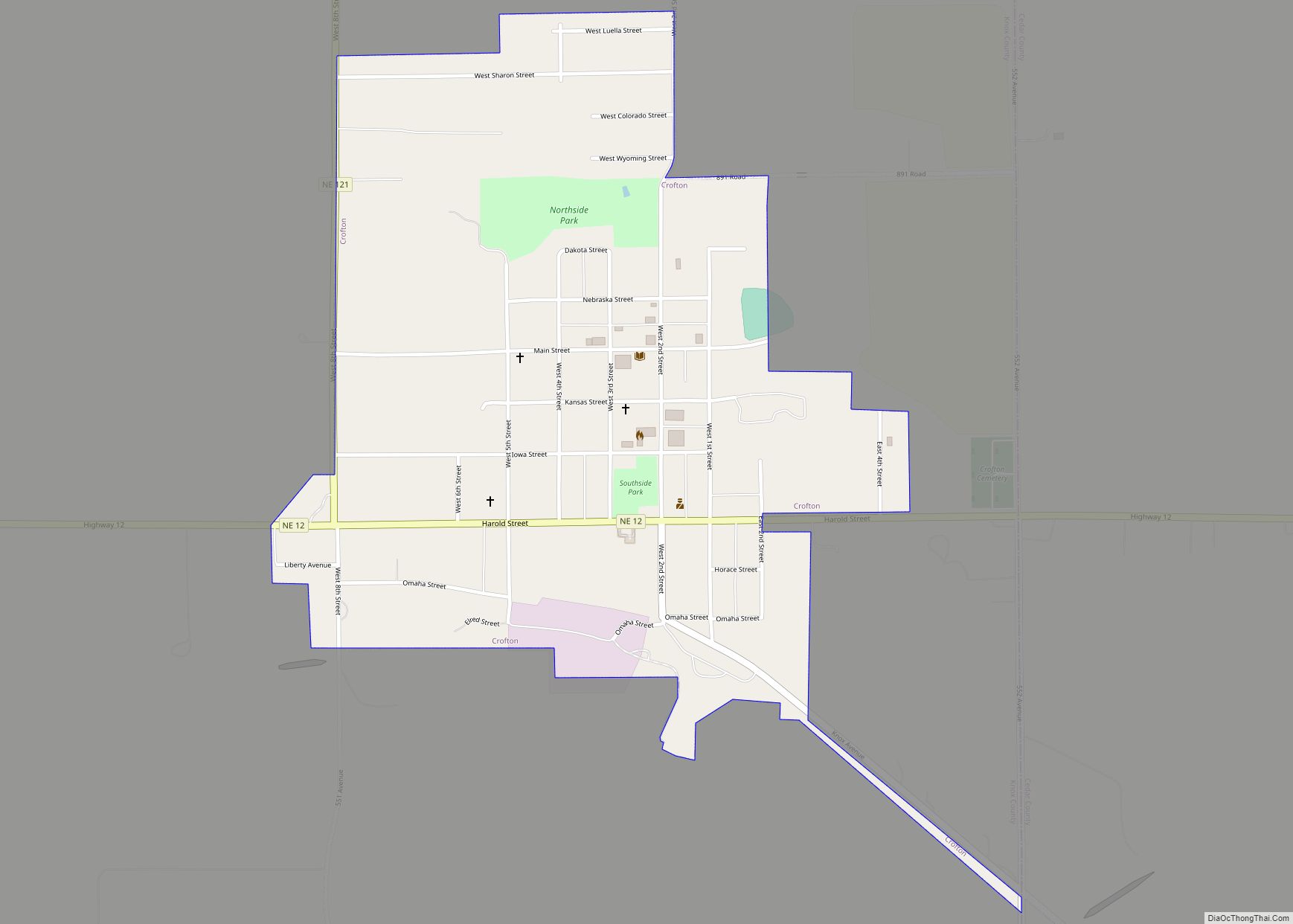
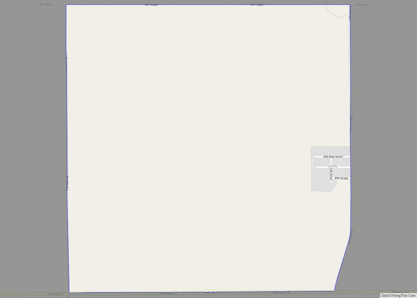
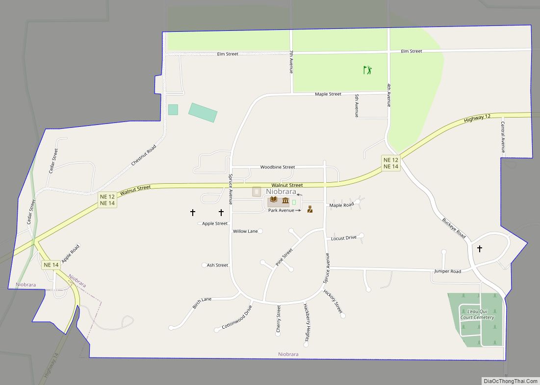
Online Interactive Map
Click on ![]() to view map in "full screen" mode.
to view map in "full screen" mode.
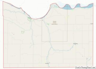
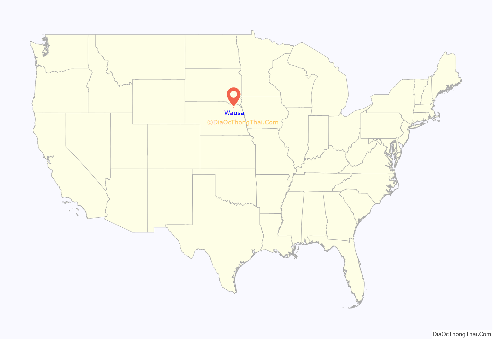
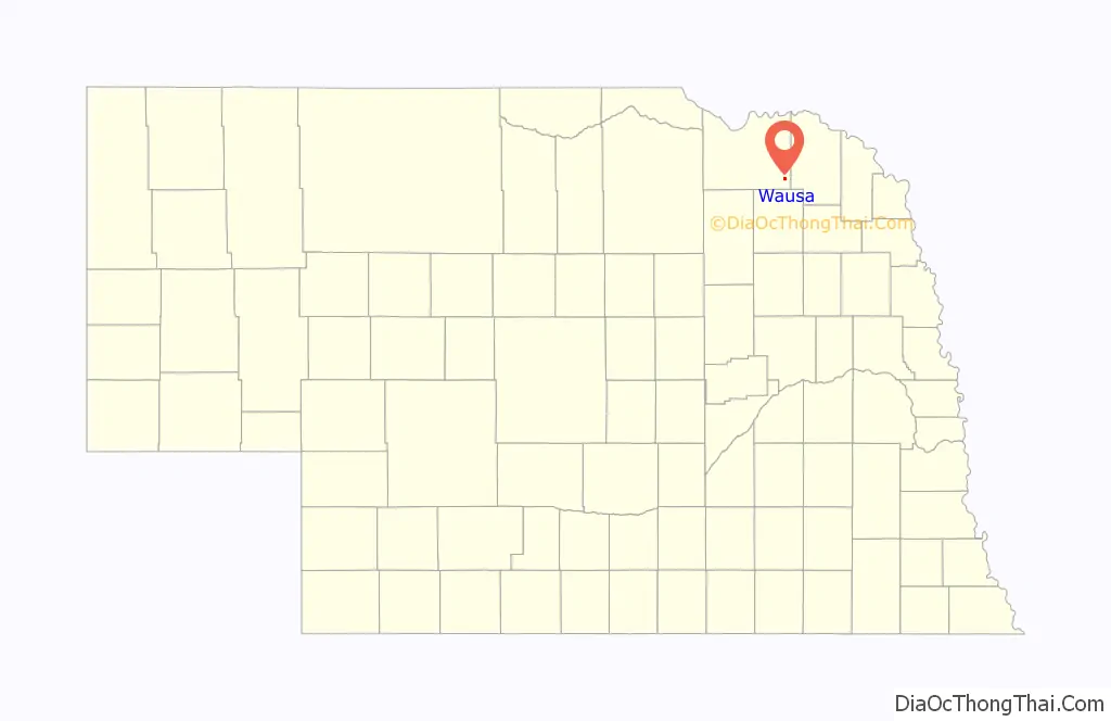
Wausa location map. Where is Wausa village?
History
In 1882 Theodore T. Thorson was the first resident. He named it Thorson, Nebraska. He was also the first postmaster. He was returning from a five-month travel over the west coast, Montana and Wyoming, in search of a good location for stock raising.
Mr. Thorson returned to Minnesota and in the following spring married and returned to Nebraska with his bride. He leased 200 acres (0.81 km) land built a sod house and started a sheep ranch consisting of 115 sheep. Families immigrating from Sweden began coming and Thorson was appointed land agent. At this time Creighton, Nebraska had the nearest railroad station. A pony express was started by a man with the name Campbell. He made three trips a week between Creighton. The post office was also Thorson’s home.
By 1885 12 new families had moved into the settlement and it was decided that they would change the name to “Vasa” in honor of the Swedish king Gustav Wasa. The railroad came through Vasa on November 27, 1890. At this time the name was changed to Wausa, a combination of the king’s dynasty name and the letters USA. In the fall of 1891 a community water well was put down. It was 33 ft (10 m) deep and cost $40. In 1903 the first water system was installed. A complete sewer system was built in 1916. The Waste Water Treatment Facility was built in 1985.
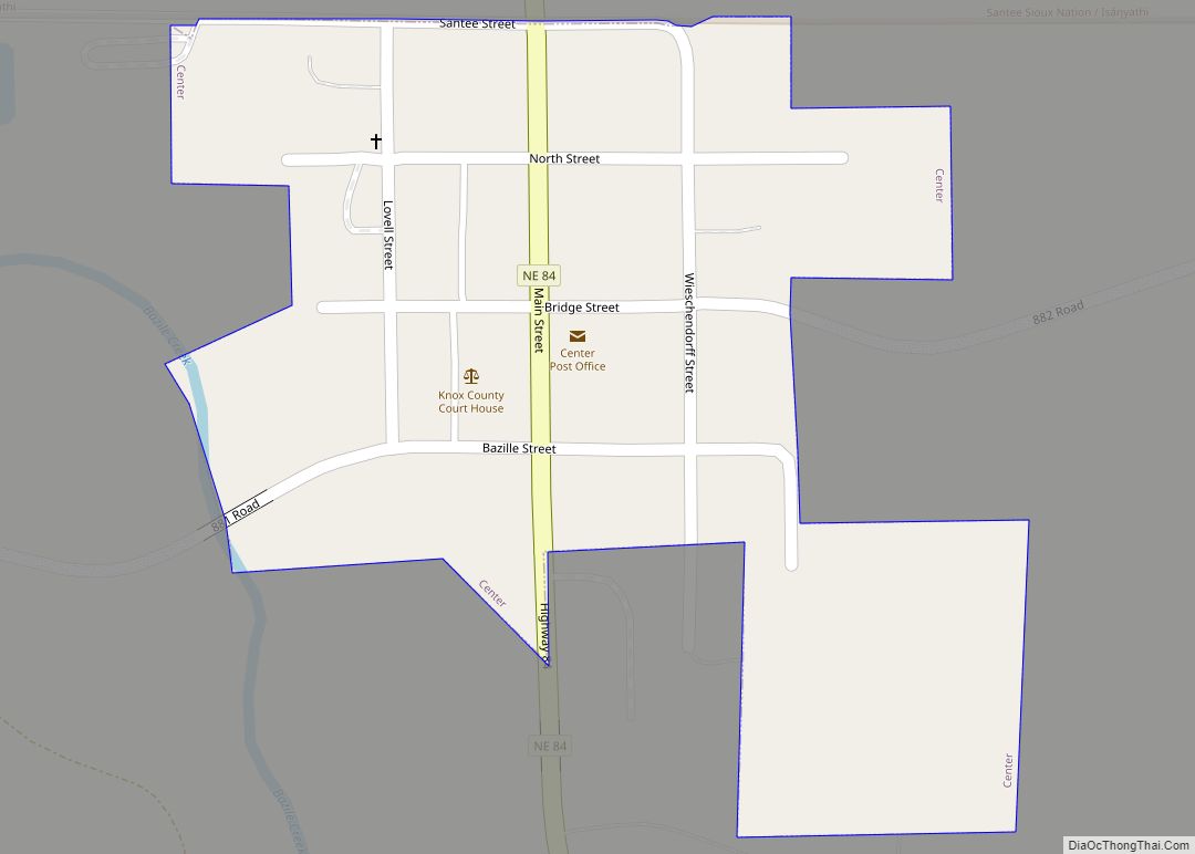
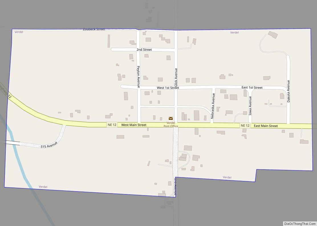
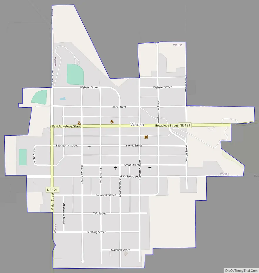
Wausa Road Map
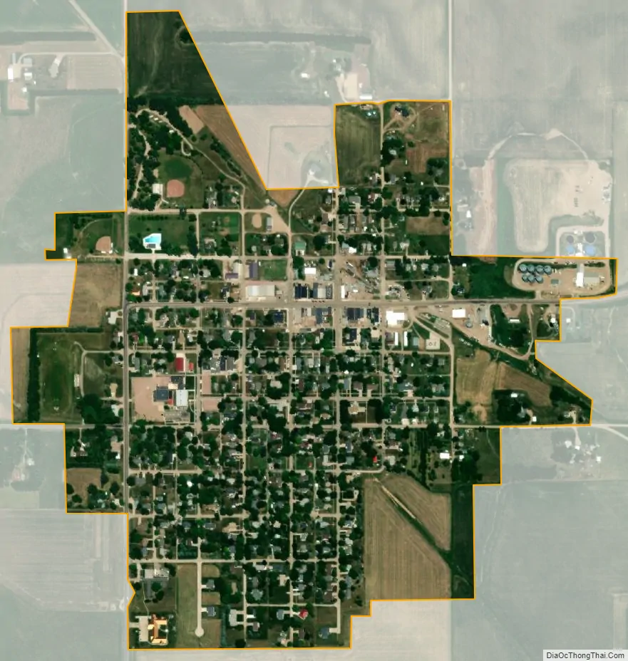
Wausa city Satellite Map
Geography
Wausa is located at 42°29′52″N 97°32′24″W / 42.49778°N 97.54000°W / 42.49778; -97.54000 (42.497806, -97.539866).
According to the United States Census Bureau, the village has a total area of 0.53 square miles (1.37 km), all land.
See also
Map of Nebraska State and its subdivision:- Adams
- Antelope
- Arthur
- Banner
- Blaine
- Boone
- Box Butte
- Boyd
- Brown
- Buffalo
- Burt
- Butler
- Cass
- Cedar
- Chase
- Cherry
- Cheyenne
- Clay
- Colfax
- Cuming
- Custer
- Dakota
- Dawes
- Dawson
- Deuel
- Dixon
- Dodge
- Douglas
- Dundy
- Fillmore
- Franklin
- Frontier
- Furnas
- Gage
- Garden
- Garfield
- Gosper
- Grant
- Greeley
- Hall
- Hamilton
- Harlan
- Hayes
- Hitchcock
- Holt
- Hooker
- Howard
- Jefferson
- Johnson
- Kearney
- Keith
- Keya Paha
- Kimball
- Knox
- Lancaster
- Lincoln
- Logan
- Loup
- Madison
- McPherson
- Merrick
- Morrill
- Nance
- Nemaha
- Nuckolls
- Otoe
- Pawnee
- Perkins
- Phelps
- Pierce
- Platte
- Polk
- Red Willow
- Richardson
- Rock
- Saline
- Sarpy
- Saunders
- Scotts Bluff
- Seward
- Sheridan
- Sherman
- Sioux
- Stanton
- Thayer
- Thomas
- Thurston
- Valley
- Washington
- Wayne
- Webster
- Wheeler
- York
- Alabama
- Alaska
- Arizona
- Arkansas
- California
- Colorado
- Connecticut
- Delaware
- District of Columbia
- Florida
- Georgia
- Hawaii
- Idaho
- Illinois
- Indiana
- Iowa
- Kansas
- Kentucky
- Louisiana
- Maine
- Maryland
- Massachusetts
- Michigan
- Minnesota
- Mississippi
- Missouri
- Montana
- Nebraska
- Nevada
- New Hampshire
- New Jersey
- New Mexico
- New York
- North Carolina
- North Dakota
- Ohio
- Oklahoma
- Oregon
- Pennsylvania
- Rhode Island
- South Carolina
- South Dakota
- Tennessee
- Texas
- Utah
- Vermont
- Virginia
- Washington
- West Virginia
- Wisconsin
- Wyoming