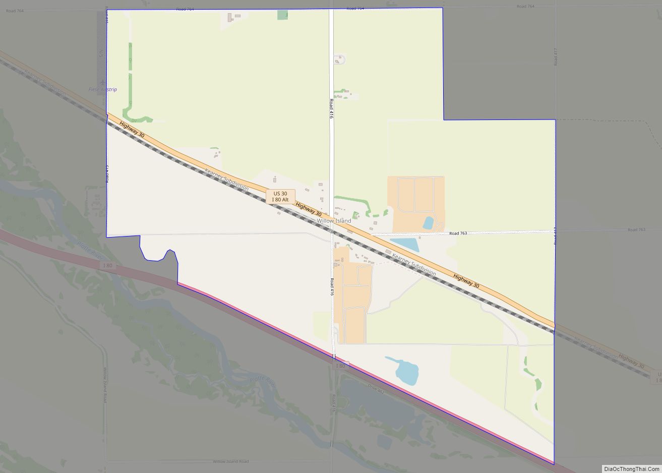
Willow Island (also Willow) is an unincorporated community and census-designated place in western Dawson County, Nebraska, United States. As of the 2010 census it had a population of 26.
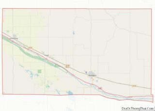
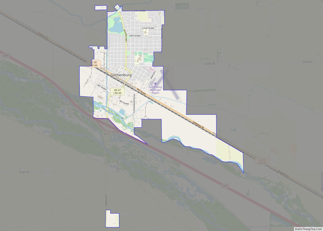
Willow Island lies near Interstate 80 along U.S. Route 30, between the cities of Cozad and Gothenburg. The city of Lexington, the county seat of Dawson County, lies 19 miles (31 km) southeast of Willow Island. Its elevation is 2,526 feet (770 m).
| Name: | Willow Island CDP |
|---|---|
| LSAD Code: | 57 |
| LSAD Description: | CDP (suffix) |
| State: | Nebraska |
| County: | Dawson County |
| Elevation: | 2,526 ft (770 m) |
| Total Area: | 2.81 sq mi (7.29 km²) |
| Land Area: | 2.81 sq mi (7.29 km²) |
| Water Area: | 0.00 sq mi (0.00 km²) |
| Total Population: | 25 |
| Population Density: | 8.88/sq mi (3.43/km²) |
| ZIP code: | 69171 |
| FIPS code: | 3153205 |
| GNISfeature ID: | 834776 |
Online Interactive Map
Click on ![]() to view map in "full screen" mode.
to view map in "full screen" mode.
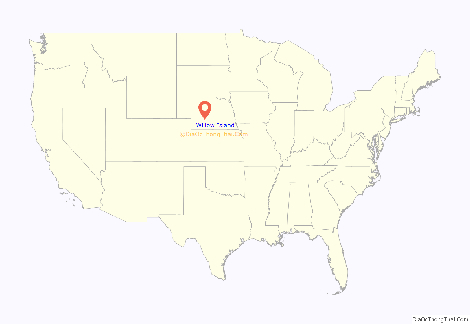
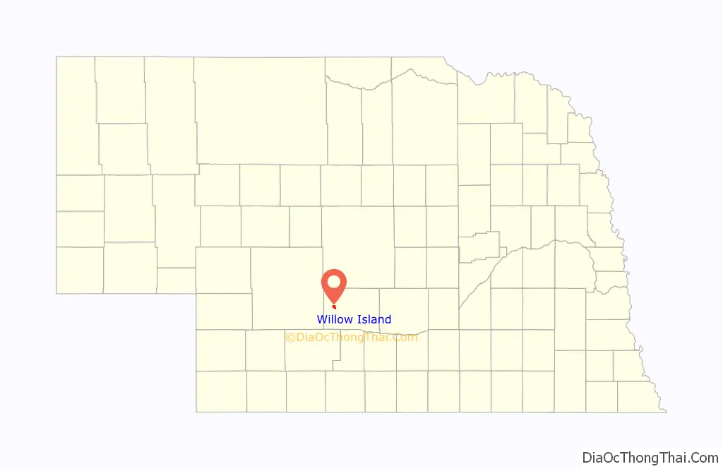
Willow Island location map. Where is Willow Island CDP?
History
Willow Island was laid out in the 1880s. It was named after a nearby island where willows were abundant. Because the community had two different names (Willow and Willow Island), the Board on Geographic Names ruled in 1902 that the community’s official name was “Willow Island.” A post office was established at Willow Island in 1874, and remained in operation until it was discontinued in 1991.
Willow Island Road Map
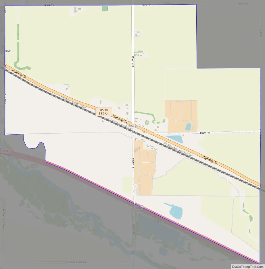
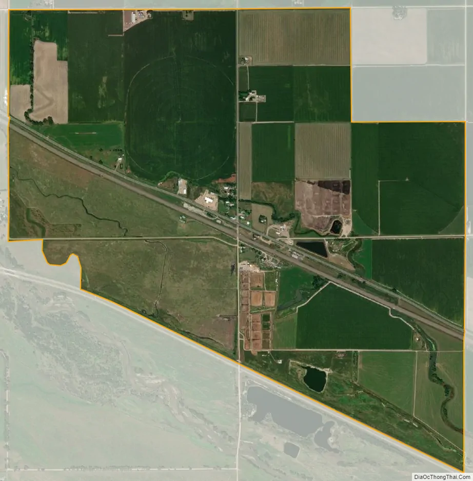
Willow Island city Satellite Map
See also
Map of Nebraska State and its subdivision:- Adams
- Antelope
- Arthur
- Banner
- Blaine
- Boone
- Box Butte
- Boyd
- Brown
- Buffalo
- Burt
- Butler
- Cass
- Cedar
- Chase
- Cherry
- Cheyenne
- Clay
- Colfax
- Cuming
- Custer
- Dakota
- Dawes
- Dawson
- Deuel
- Dixon
- Dodge
- Douglas
- Dundy
- Fillmore
- Franklin
- Frontier
- Furnas
- Gage
- Garden
- Garfield
- Gosper
- Grant
- Greeley
- Hall
- Hamilton
- Harlan
- Hayes
- Hitchcock
- Holt
- Hooker
- Howard
- Jefferson
- Johnson
- Kearney
- Keith
- Keya Paha
- Kimball
- Knox
- Lancaster
- Lincoln
- Logan
- Loup
- Madison
- McPherson
- Merrick
- Morrill
- Nance
- Nemaha
- Nuckolls
- Otoe
- Pawnee
- Perkins
- Phelps
- Pierce
- Platte
- Polk
- Red Willow
- Richardson
- Rock
- Saline
- Sarpy
- Saunders
- Scotts Bluff
- Seward
- Sheridan
- Sherman
- Sioux
- Stanton
- Thayer
- Thomas
- Thurston
- Valley
- Washington
- Wayne
- Webster
- Wheeler
- York
- Alabama
- Alaska
- Arizona
- Arkansas
- California
- Colorado
- Connecticut
- Delaware
- District of Columbia
- Florida
- Georgia
- Hawaii
- Idaho
- Illinois
- Indiana
- Iowa
- Kansas
- Kentucky
- Louisiana
- Maine
- Maryland
- Massachusetts
- Michigan
- Minnesota
- Mississippi
- Missouri
- Montana
- Nebraska
- Nevada
- New Hampshire
- New Jersey
- New Mexico
- New York
- North Carolina
- North Dakota
- Ohio
- Oklahoma
- Oregon
- Pennsylvania
- Rhode Island
- South Carolina
- South Dakota
- Tennessee
- Texas
- Utah
- Vermont
- Virginia
- Washington
- West Virginia
- Wisconsin
- Wyoming