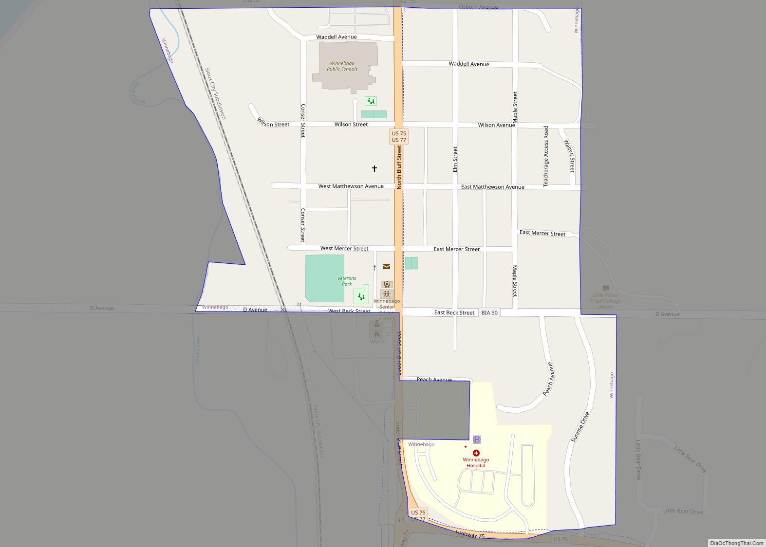
Winnebago is a village in Thurston County, Nebraska, United States. The population was 916 at the 2020 census.
| Name: | Winnebago village |
|---|---|
| LSAD Code: | 47 |
| LSAD Description: | village (suffix) |
| State: | Nebraska |
| County: | Thurston County |
| Elevation: | 1,165 ft (355 m) |
| Total Area: | 0.32 sq mi (0.83 km²) |
| Land Area: | 0.32 sq mi (0.83 km²) |
| Water Area: | 0.00 sq mi (0.00 km²) |
| Total Population: | 916 |
| Population Density: | 2,853.58/sq mi (1,100.54/km²) |
| ZIP code: | 68071 |
| Area code: | 402 |
| FIPS code: | 3153275 |
| GNISfeature ID: | 0834815 |
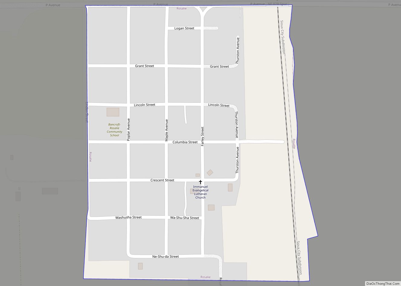
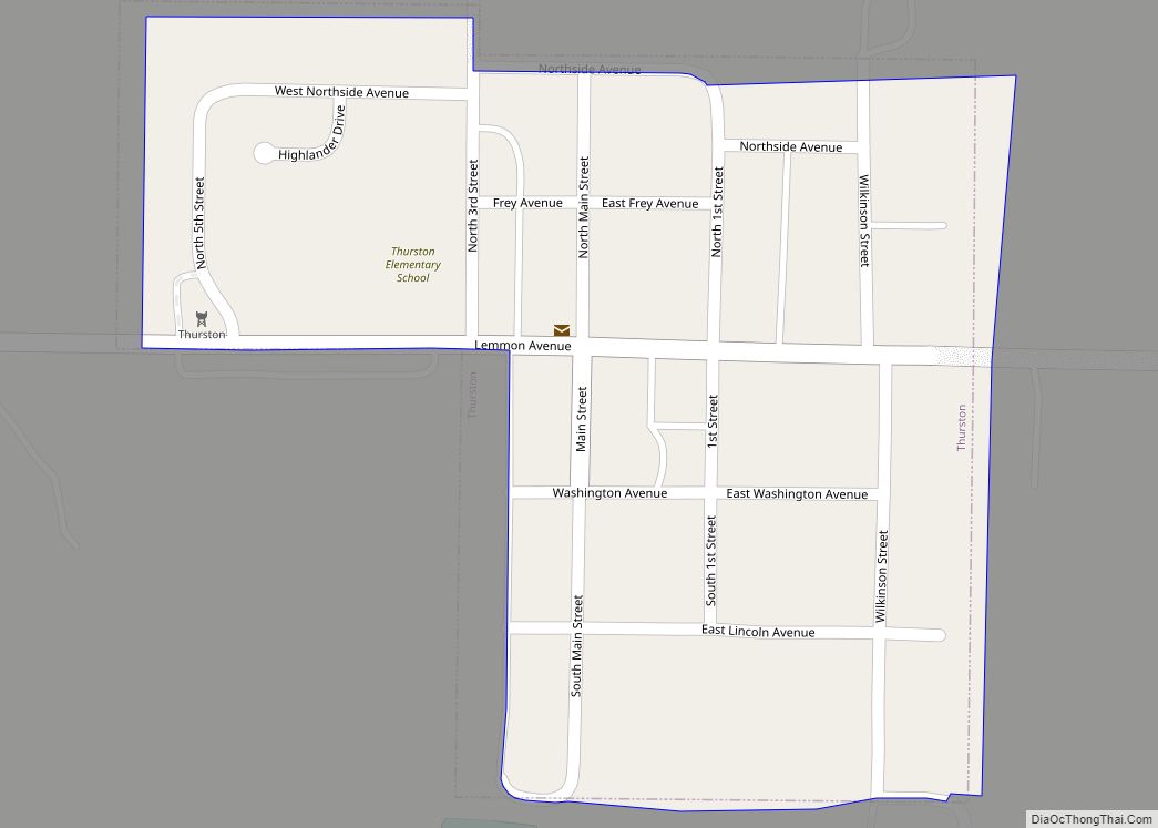
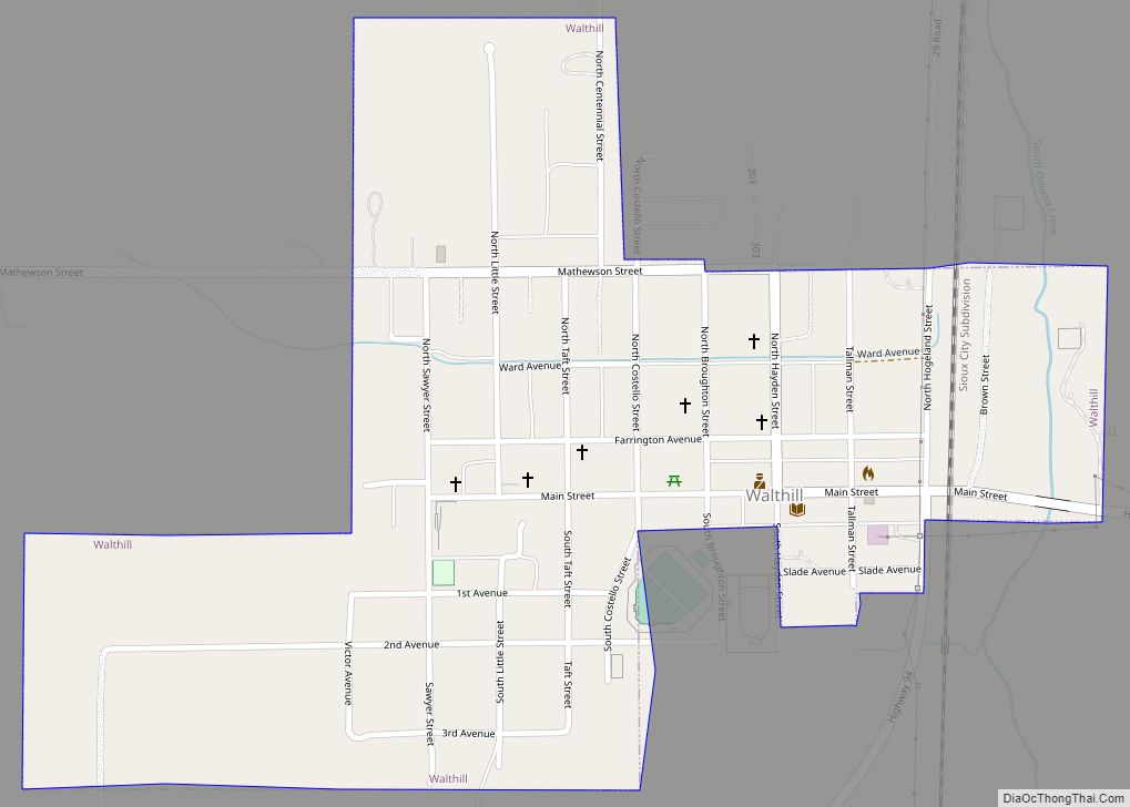
Online Interactive Map
Click on ![]() to view map in "full screen" mode.
to view map in "full screen" mode.
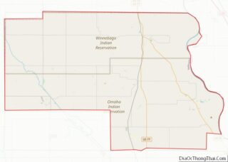
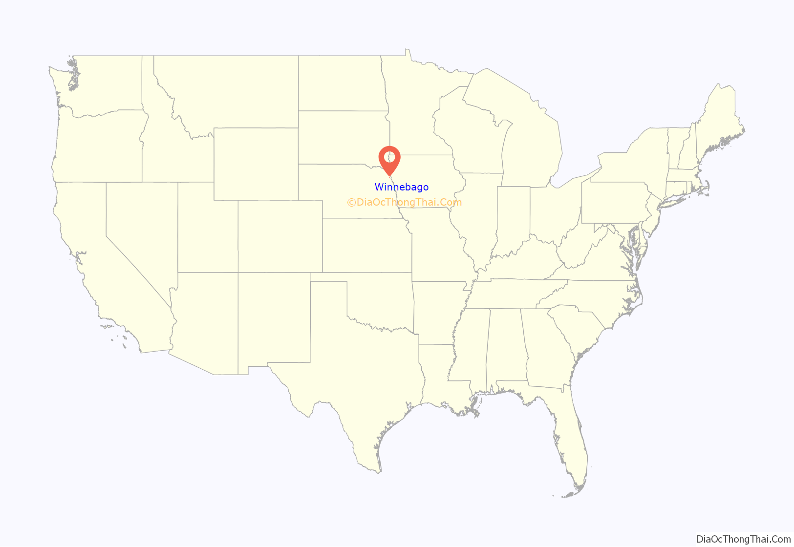
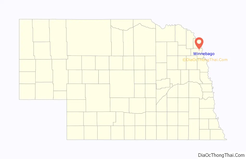
Winnebago location map. Where is Winnebago village?
History
The first post office at Winnebago was established in 1867. It was named for the federally recognized Winnebago tribe, whose name for themselves (autonym) is Ho-Chunk; they have a reservation in the county. The village is Nįšoc in the Hoocąk language.
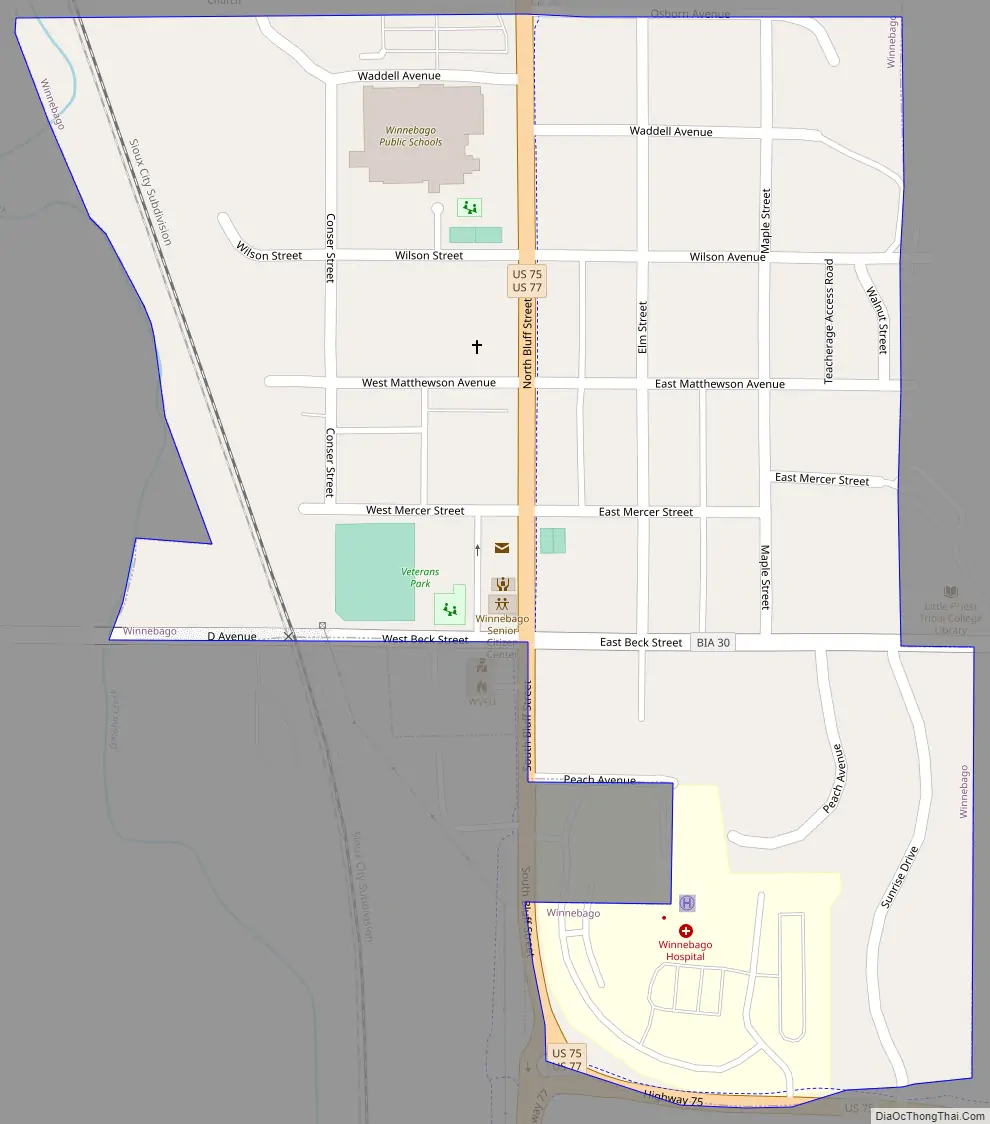
Winnebago Road Map
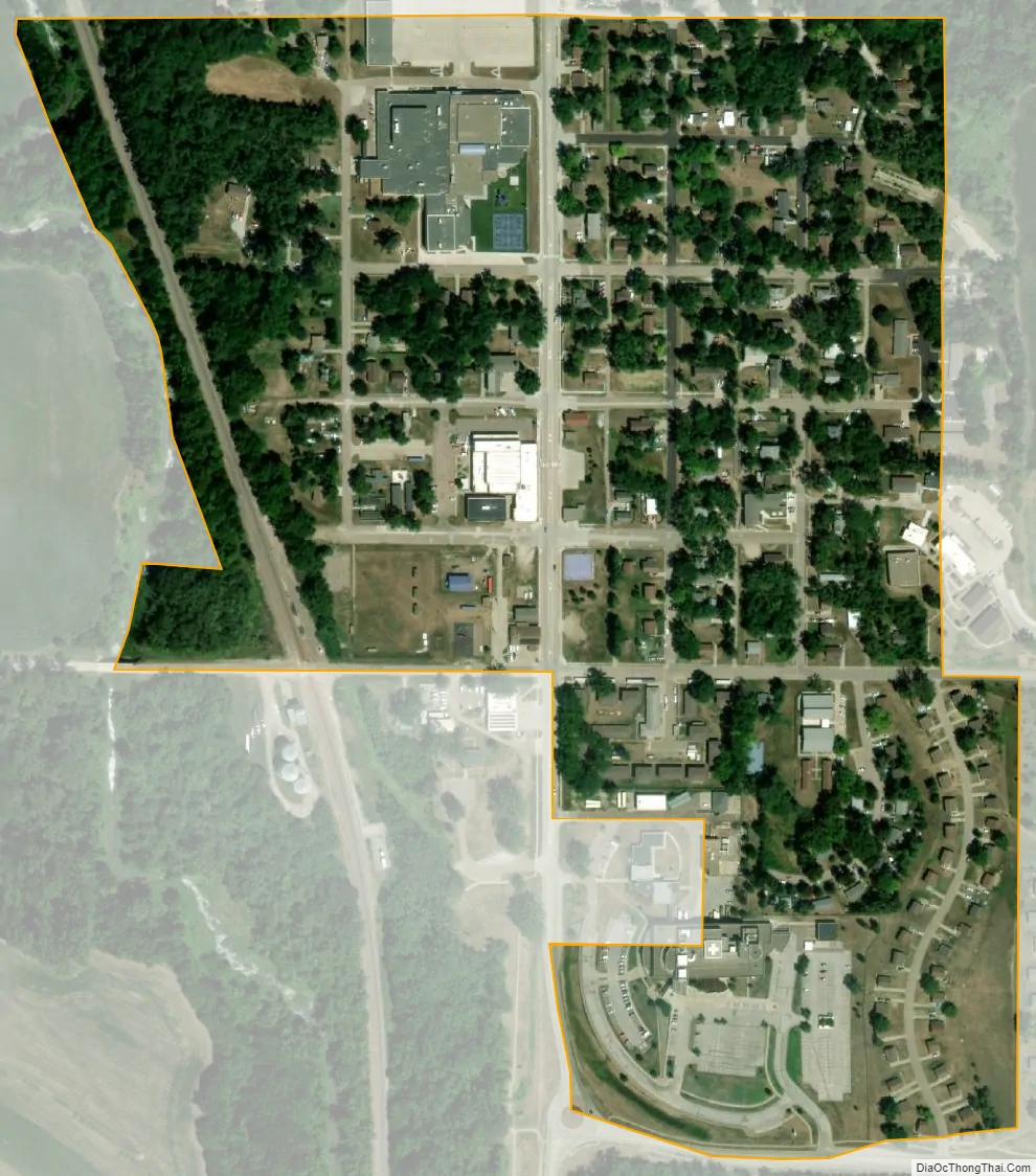
Winnebago city Satellite Map
Geography
Winnebago is located at 42°14′14″N 96°28′18″W / 42.23722°N 96.47167°W / 42.23722; -96.47167 (42.237167, -96.471582). It is located within the Winnebago Reservation of the Ho-Chunk.
According to the United States Census Bureau, the village has a total area of 0.32 square miles (0.83 km), all land.
See also
Map of Nebraska State and its subdivision:- Adams
- Antelope
- Arthur
- Banner
- Blaine
- Boone
- Box Butte
- Boyd
- Brown
- Buffalo
- Burt
- Butler
- Cass
- Cedar
- Chase
- Cherry
- Cheyenne
- Clay
- Colfax
- Cuming
- Custer
- Dakota
- Dawes
- Dawson
- Deuel
- Dixon
- Dodge
- Douglas
- Dundy
- Fillmore
- Franklin
- Frontier
- Furnas
- Gage
- Garden
- Garfield
- Gosper
- Grant
- Greeley
- Hall
- Hamilton
- Harlan
- Hayes
- Hitchcock
- Holt
- Hooker
- Howard
- Jefferson
- Johnson
- Kearney
- Keith
- Keya Paha
- Kimball
- Knox
- Lancaster
- Lincoln
- Logan
- Loup
- Madison
- McPherson
- Merrick
- Morrill
- Nance
- Nemaha
- Nuckolls
- Otoe
- Pawnee
- Perkins
- Phelps
- Pierce
- Platte
- Polk
- Red Willow
- Richardson
- Rock
- Saline
- Sarpy
- Saunders
- Scotts Bluff
- Seward
- Sheridan
- Sherman
- Sioux
- Stanton
- Thayer
- Thomas
- Thurston
- Valley
- Washington
- Wayne
- Webster
- Wheeler
- York
- Alabama
- Alaska
- Arizona
- Arkansas
- California
- Colorado
- Connecticut
- Delaware
- District of Columbia
- Florida
- Georgia
- Hawaii
- Idaho
- Illinois
- Indiana
- Iowa
- Kansas
- Kentucky
- Louisiana
- Maine
- Maryland
- Massachusetts
- Michigan
- Minnesota
- Mississippi
- Missouri
- Montana
- Nebraska
- Nevada
- New Hampshire
- New Jersey
- New Mexico
- New York
- North Carolina
- North Dakota
- Ohio
- Oklahoma
- Oregon
- Pennsylvania
- Rhode Island
- South Carolina
- South Dakota
- Tennessee
- Texas
- Utah
- Vermont
- Virginia
- Washington
- West Virginia
- Wisconsin
- Wyoming