Camp Hill is a borough in Cumberland County, Pennsylvania, United States. It is 3 miles (5 km) southwest of Harrisburg and is part of the Harrisburg–Carlisle metropolitan statistical area. The population was 7,888 at the 2010 census. There are many large corporations based in nearby East Pennsboro Township and Wormleysburg that use the Camp Hill postal address, including the Rite Aid Corporation and Harsco Corporation.
| Name: | Camp Hill borough |
|---|---|
| LSAD Code: | 21 |
| LSAD Description: | borough (suffix) |
| State: | Pennsylvania |
| County: | Cumberland County |
| Incorporated: | 1885 |
| Elevation: | 423 ft (129 m) |
| Total Area: | 2.13 sq mi (5.50 km²) |
| Land Area: | 2.13 sq mi (5.50 km²) |
| Water Area: | 0.00 sq mi (0.00 km²) |
| Total Population: | 39,000 |
| Population Density: | 3,825.88/sq mi (1,477.14/km²) |
| ZIP code: | 17011 |
| Area code: | 717 |
| FIPS code: | 4211000 |
| Website: | www.camphillborough.com |
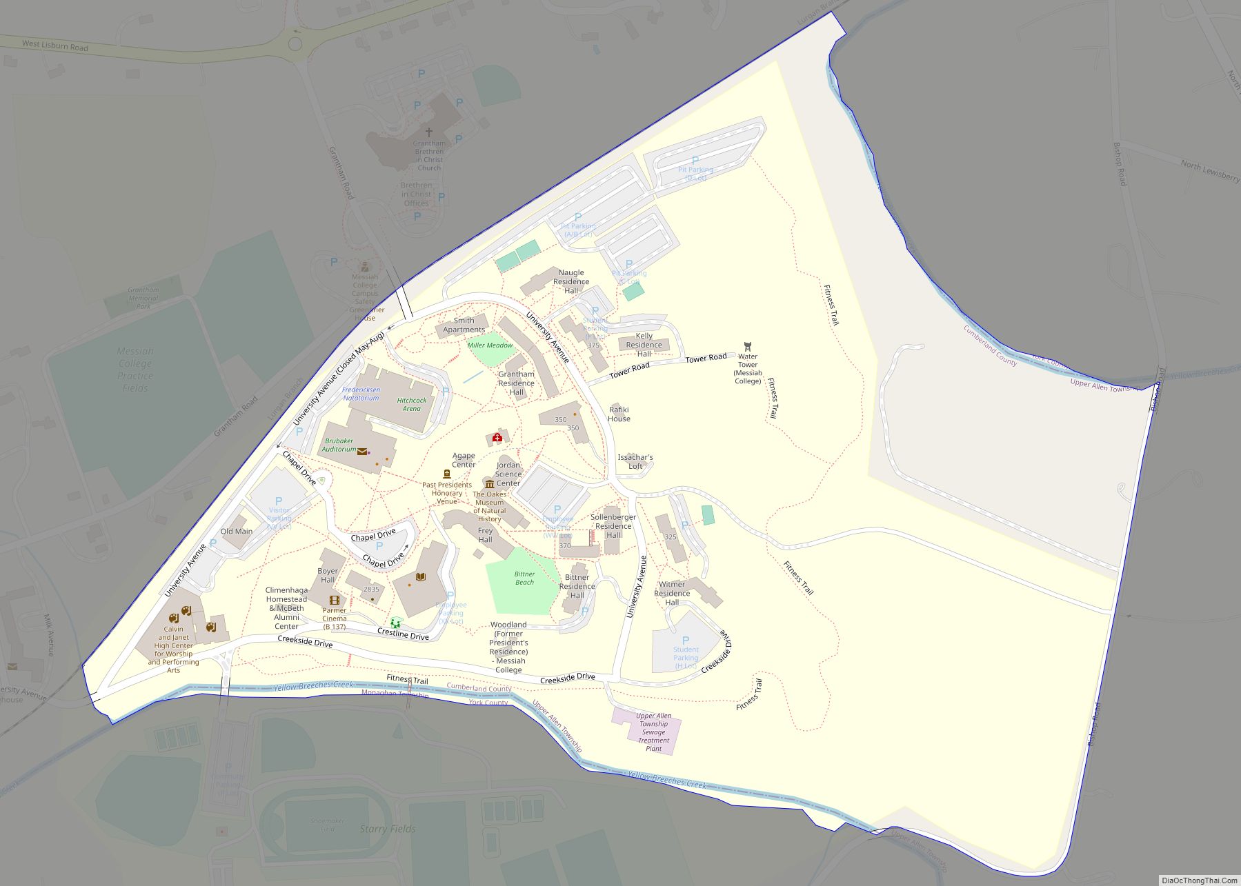
Online Interactive Map
Click on ![]() to view map in "full screen" mode.
to view map in "full screen" mode.
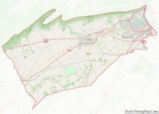
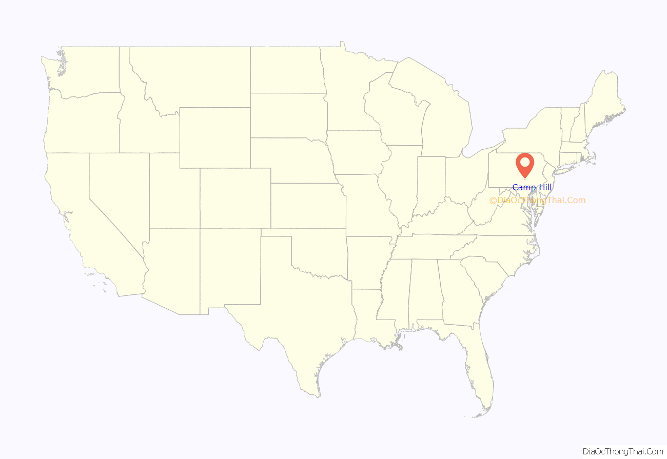
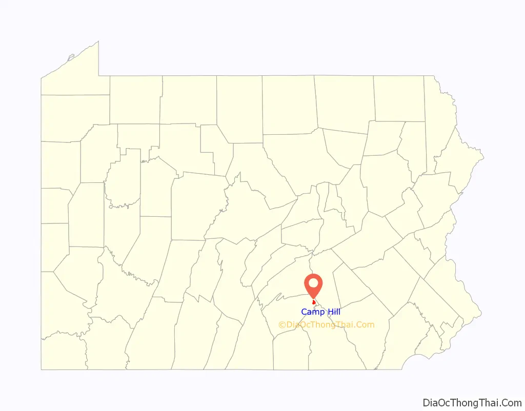
Camp Hill location map. Where is Camp Hill borough?
History
The name “Camp Hill” is believed to stem from a split in the congregation of a Peace Church, located west of the current borough. One faction of the church began meeting outdoors, on a hill. Prior to the Civil War, the area was known locally as White Hill, and was a stop along the Cumberland Valley Railroad between Harrisburg and Carlisle. During the Civil War, the Battle of Sporting Hill became the northernmost engagement of the Gettysburg Campaign, which took place at Camp Hill in late June 1863. Camp Hill was incorporated as a borough on November 10, 1885, from East Pennsboro Township. The Peace Church was added to the National Register of Historic Places in 1972.
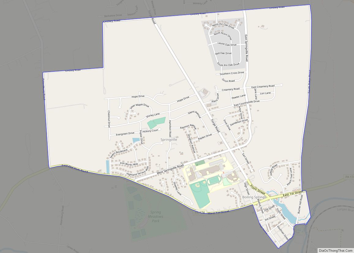
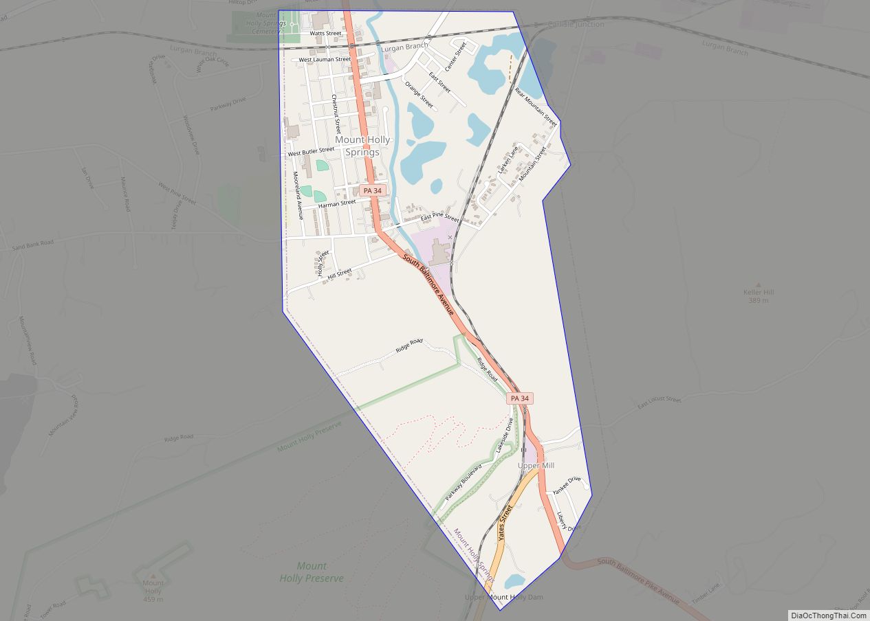
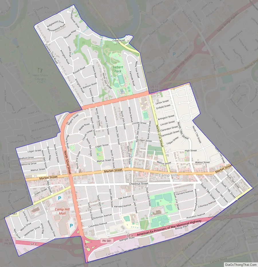
Camp Hill Road Map
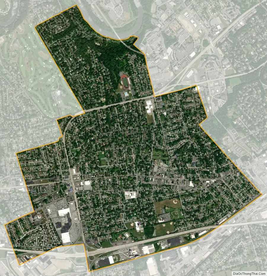
Camp Hill city Satellite Map
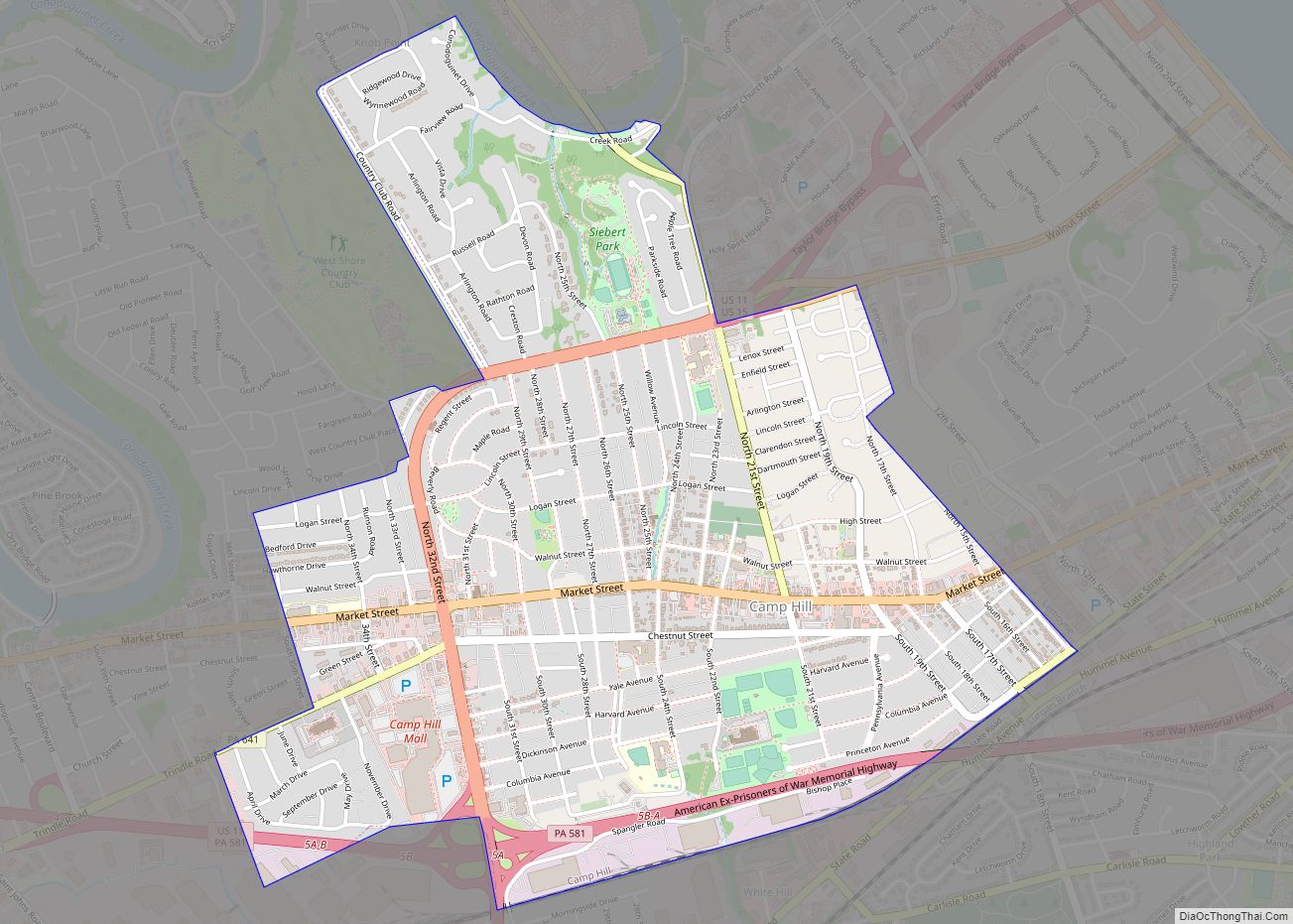
Geography
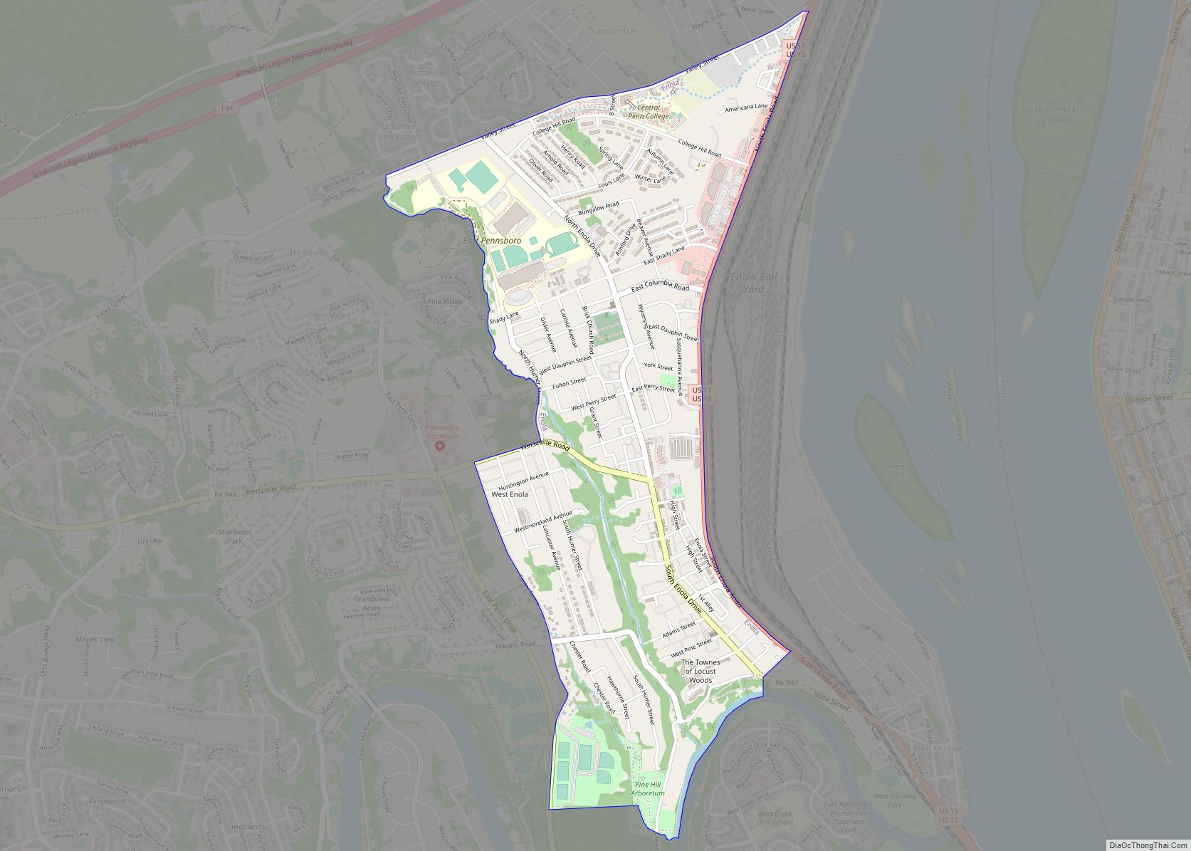
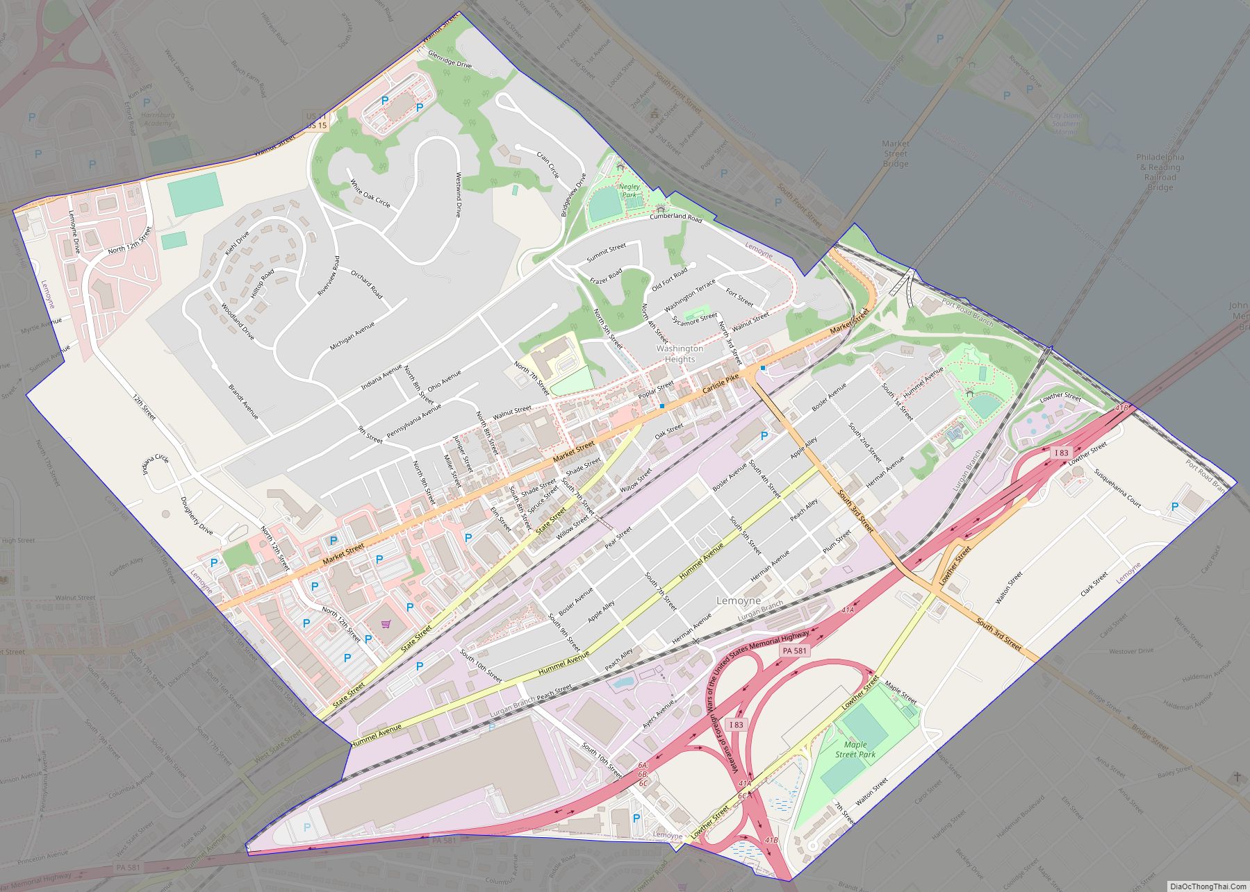
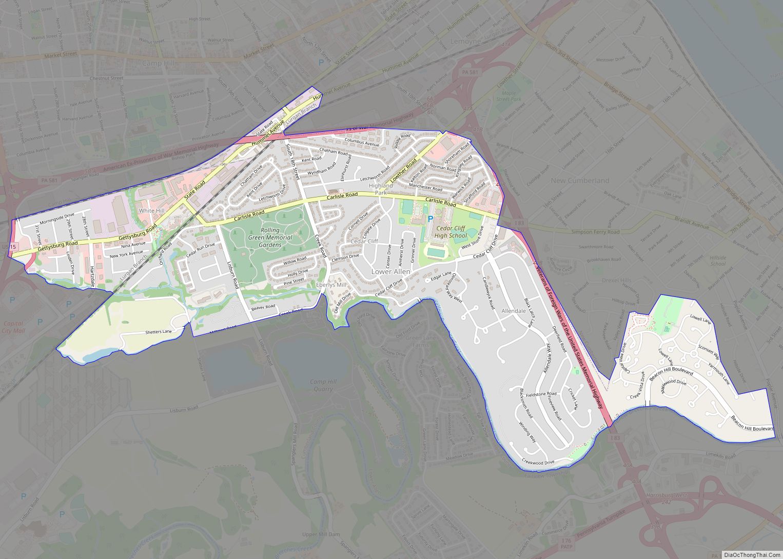
Camp Hill is located in eastern Cumberland County at 40°14′28″N 76°55′34″W / 40.24111°N 76.92611°W / 40.24111; -76.92611 (40.241089, -76.926202). It is bordered to the east by the borough of Lemoyne, to the south by the Lower Allen census-designated place within Lower Allen Township, to the west by Hampden Township, and to the north by East Pennsboro Township.
U.S. Routes 11 and 15 run through the western and northern sides of the borough, while Pennsylvania Route 581, the Capital Beltway, passes through the southern side, intersecting US 11/15 at Exits 5A/5B. Downtown Harrisburg, the state capital, is 3 miles (5 km) northeast of the center of Camp Hill, via either the Market Street Bridge or the M. Harvey Taylor Bridge across the Susquehanna River.
According to the U.S. Census Bureau, Camp Hill has a total area of 2.1 square miles (5.5 km), all land. It has a hot-summer humid continental climate (Dfa) with monthly averages ranging from 29.9° F in January to 74.8° F in July. [1] The local hardiness zone is 7a.
See also
Map of Pennsylvania State and its subdivision:- Adams
- Allegheny
- Armstrong
- Beaver
- Bedford
- Berks
- Blair
- Bradford
- Bucks
- Butler
- Cambria
- Cameron
- Carbon
- Centre
- Chester
- Clarion
- Clearfield
- Clinton
- Columbia
- Crawford
- Cumberland
- Dauphin
- Delaware
- Elk
- Erie
- Fayette
- Forest
- Franklin
- Fulton
- Greene
- Huntingdon
- Indiana
- Jefferson
- Juniata
- Lackawanna
- Lancaster
- Lawrence
- Lebanon
- Lehigh
- Luzerne
- Lycoming
- Mc Kean
- Mercer
- Mifflin
- Monroe
- Montgomery
- Montour
- Northampton
- Northumberland
- Perry
- Philadelphia
- Pike
- Potter
- Schuylkill
- Snyder
- Somerset
- Sullivan
- Susquehanna
- Tioga
- Union
- Venango
- Warren
- Washington
- Wayne
- Westmoreland
- Wyoming
- York
- Alabama
- Alaska
- Arizona
- Arkansas
- California
- Colorado
- Connecticut
- Delaware
- District of Columbia
- Florida
- Georgia
- Hawaii
- Idaho
- Illinois
- Indiana
- Iowa
- Kansas
- Kentucky
- Louisiana
- Maine
- Maryland
- Massachusetts
- Michigan
- Minnesota
- Mississippi
- Missouri
- Montana
- Nebraska
- Nevada
- New Hampshire
- New Jersey
- New Mexico
- New York
- North Carolina
- North Dakota
- Ohio
- Oklahoma
- Oregon
- Pennsylvania
- Rhode Island
- South Carolina
- South Dakota
- Tennessee
- Texas
- Utah
- Vermont
- Virginia
- Washington
- West Virginia
- Wisconsin
- Wyoming