Hollidaysburg is a borough in and the county seat of Blair County in the U.S. Commonwealth of Pennsylvania. It is located on the Juniata River, 5 miles (8 km) south of Altoona and is part of the Altoona, Pennsylvania, metropolitan statistical area. In 1900, 2,998 people lived in the borough, in 1910, 3,734 lived there, and in 1940, 5,910 residents were counted. The population was 5,641 at the 2020 census. Coal, iron ore, ganister, and limestone are found in the vicinity. In the past, the borough had foundries and machine shops, a silk mill, car works and classification yards.
From 1834 to 1854, the borough was an important port on Pennsylvania Main Line Canal, where the Juniata Division Canal connected to the Allegheny Portage Railroad.
The center of Hollidaysburg is frequently referred to as “The Diamond,” where the buildings and parking spaces form a diamond. This area serves as the hub for parades, festivals and other town celebrations.
| Name: | Hollidaysburg borough |
|---|---|
| LSAD Code: | 21 |
| LSAD Description: | borough (suffix) |
| State: | Pennsylvania |
| County: | Blair County |
| Elevation: | 1,011 ft (308 m) |
| Total Area: | 2.33 sq mi (6.03 km²) |
| Land Area: | 2.33 sq mi (6.03 km²) |
| Water Area: | 0.00 sq mi (0.00 km²) |
| Total Population: | 5,641 |
| Population Density: | 2,421.03/sq mi (934.73/km²) |
| Area code: | 814 |
| FIPS code: | 4235224 |
| GNISfeature ID: | 1214942 |
| Website: | http://hollidaysburgpa.org |
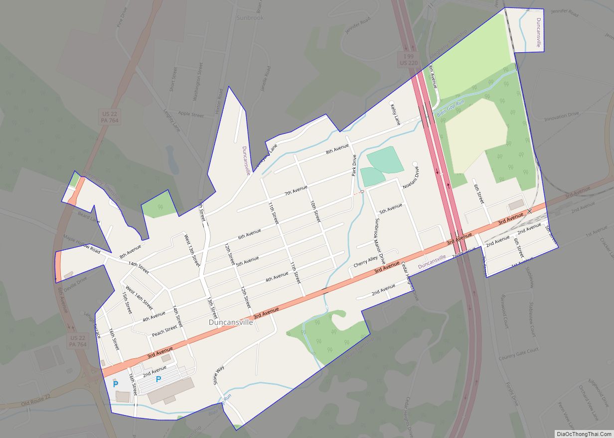
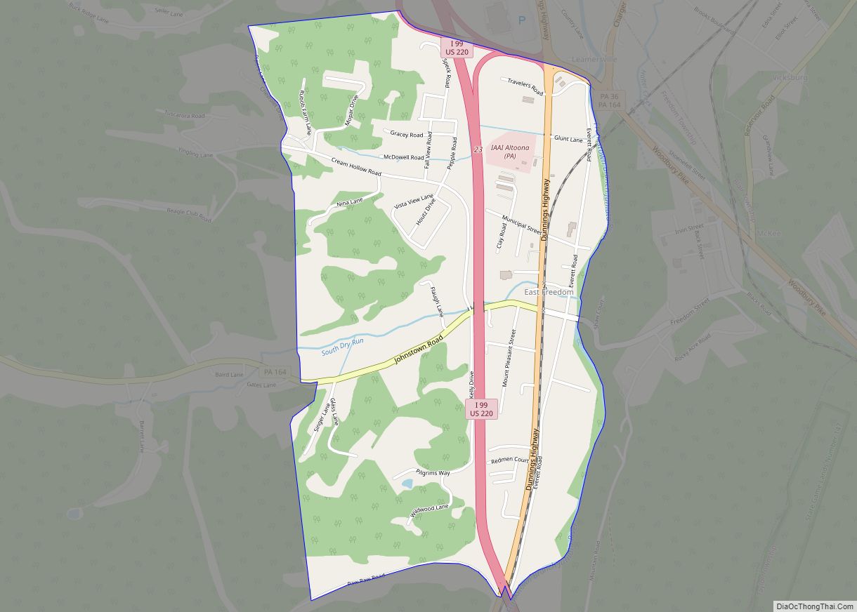
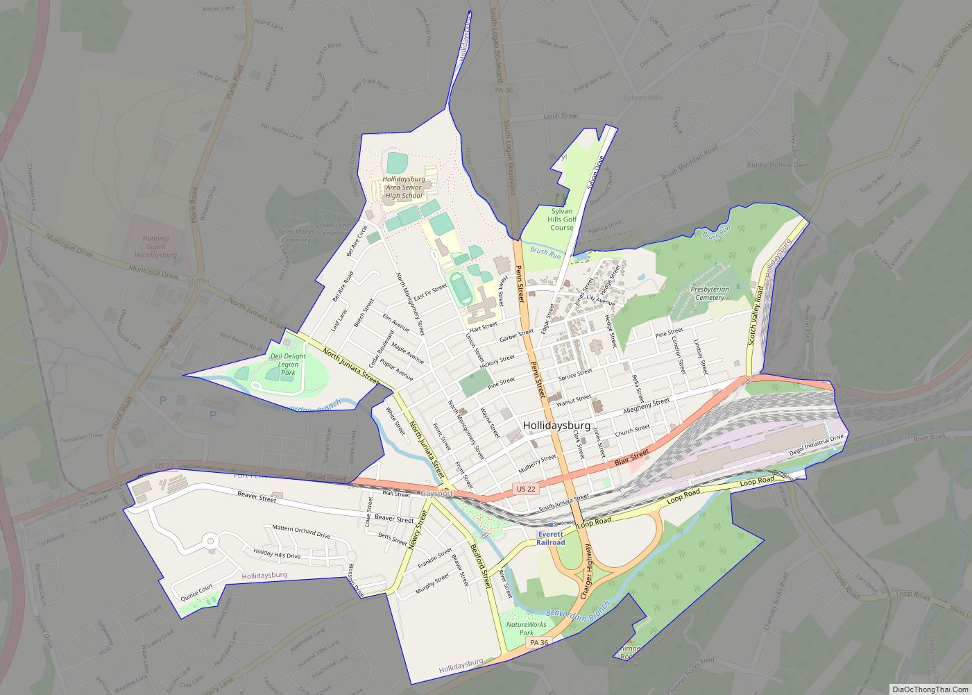
Online Interactive Map
Click on ![]() to view map in "full screen" mode.
to view map in "full screen" mode.
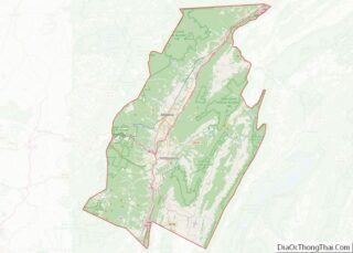
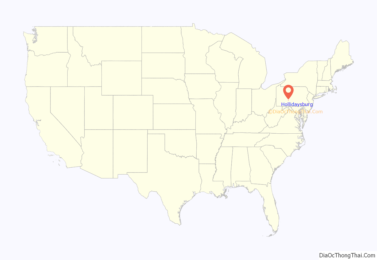
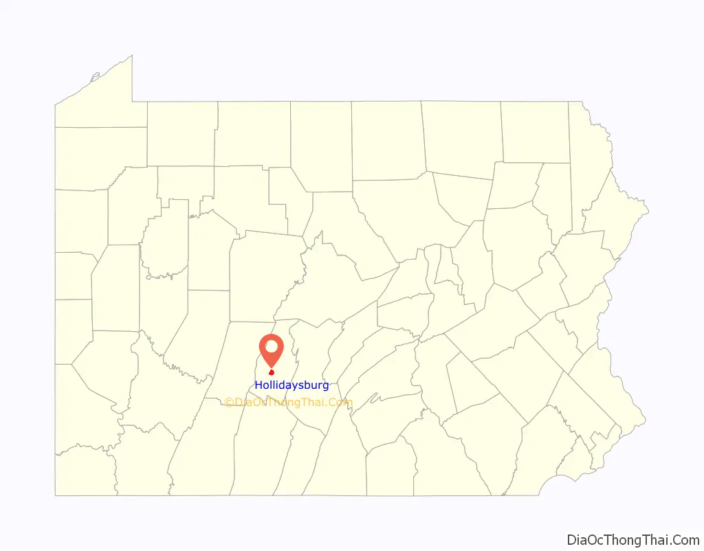
Hollidaysburg location map. Where is Hollidaysburg borough?
History
Hollidaysburg was first laid out in 1796 and was named after Adam and William Holliday, Irish immigrants who founded the settlement; by 1814 it consisted of several houses and a tavern. Hollidaysburg became the main transfer point between the Pennsylvania Canal and the Portage Railroad, a gateway to western Pennsylvania. The canal and Portage Railroad spurred industrial and commercial development in Hollidaysburg in the 1830s. In 1836, Hollidaysburg was established as a borough.
When Blair County was organized in 1846, the Borough of Hollidaysburg was designated the county seat. This designation allowed the borough to prosper when politicians and attorneys became attracted to the borough.
In 1903, the Pennsylvania Railroad constructed a large switching yard and U.S. Route 22 was directed through the borough. In addition, the Pennsylvania Railroad Constructed the Hollidaysburg Car shop to help ease the bustling of the Altoona Shops. Years later, Conrail also built a car reclamation plant on the property. Hollidaysburg Reclamation plant and car shop are currently still operational and operated by Norfolk Southern Railway Corporation.
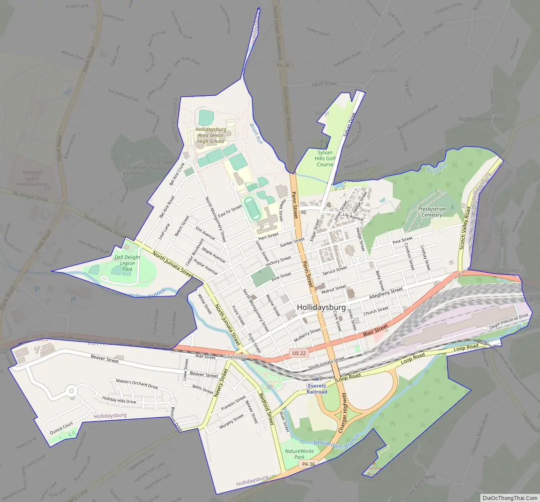
Hollidaysburg Road Map
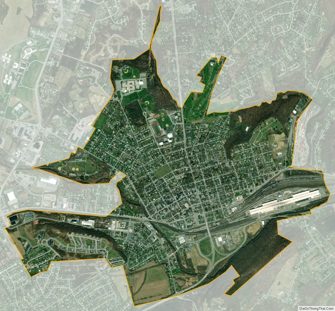
Hollidaysburg city Satellite Map
Geography
Hollidaysburg is located at 40°25′54″N 78°23′32″W / 40.43167°N 78.39222°W / 40.43167; -78.39222 (40.431772, -78.392085). According to the United States Census Bureau, the borough has a total area of 2.4 square miles (6.2 km), all land.
See also
Map of Pennsylvania State and its subdivision:- Adams
- Allegheny
- Armstrong
- Beaver
- Bedford
- Berks
- Blair
- Bradford
- Bucks
- Butler
- Cambria
- Cameron
- Carbon
- Centre
- Chester
- Clarion
- Clearfield
- Clinton
- Columbia
- Crawford
- Cumberland
- Dauphin
- Delaware
- Elk
- Erie
- Fayette
- Forest
- Franklin
- Fulton
- Greene
- Huntingdon
- Indiana
- Jefferson
- Juniata
- Lackawanna
- Lancaster
- Lawrence
- Lebanon
- Lehigh
- Luzerne
- Lycoming
- Mc Kean
- Mercer
- Mifflin
- Monroe
- Montgomery
- Montour
- Northampton
- Northumberland
- Perry
- Philadelphia
- Pike
- Potter
- Schuylkill
- Snyder
- Somerset
- Sullivan
- Susquehanna
- Tioga
- Union
- Venango
- Warren
- Washington
- Wayne
- Westmoreland
- Wyoming
- York
- Alabama
- Alaska
- Arizona
- Arkansas
- California
- Colorado
- Connecticut
- Delaware
- District of Columbia
- Florida
- Georgia
- Hawaii
- Idaho
- Illinois
- Indiana
- Iowa
- Kansas
- Kentucky
- Louisiana
- Maine
- Maryland
- Massachusetts
- Michigan
- Minnesota
- Mississippi
- Missouri
- Montana
- Nebraska
- Nevada
- New Hampshire
- New Jersey
- New Mexico
- New York
- North Carolina
- North Dakota
- Ohio
- Oklahoma
- Oregon
- Pennsylvania
- Rhode Island
- South Carolina
- South Dakota
- Tennessee
- Texas
- Utah
- Vermont
- Virginia
- Washington
- West Virginia
- Wisconsin
- Wyoming