Schuylkill Haven is a borough in Schuylkill County, Pennsylvania, United States. The borough’s population was 5,253 as of the 2020 census. Schuylkill Haven is situated along the Schuylkill River, for which it is named. Schuylkill Haven is a focal point of activity in southern Schuylkill County.
Schuylkill Haven is located 43.4 miles (69.8 km) west of Allentown, 92.6 miles (149.0 km) northwest of Philadelphia, and 131 miles (211 km) west of New York City.
| Name: | Schuylkill Haven borough |
|---|---|
| LSAD Code: | 21 |
| LSAD Description: | borough (suffix) |
| State: | Pennsylvania |
| County: | Schuylkill County |
| Incorporated: | June 11, 1840 |
| Elevation: | 526 ft (160 m) |
| Total Area: | 1.40 sq mi (3.64 km²) |
| Land Area: | 1.40 sq mi (3.62 km²) |
| Water Area: | 0.01 sq mi (0.01 km²) |
| Total Population: | 5,236 |
| Population Density: | 3,745.35/sq mi (1,446.03/km²) |
| Area code: | 570 and 272 |
| FIPS code: | 4268312 |
| Website: | http://www.schuylkillhaven.org |
Online Interactive Map
Click on ![]() to view map in "full screen" mode.
to view map in "full screen" mode.
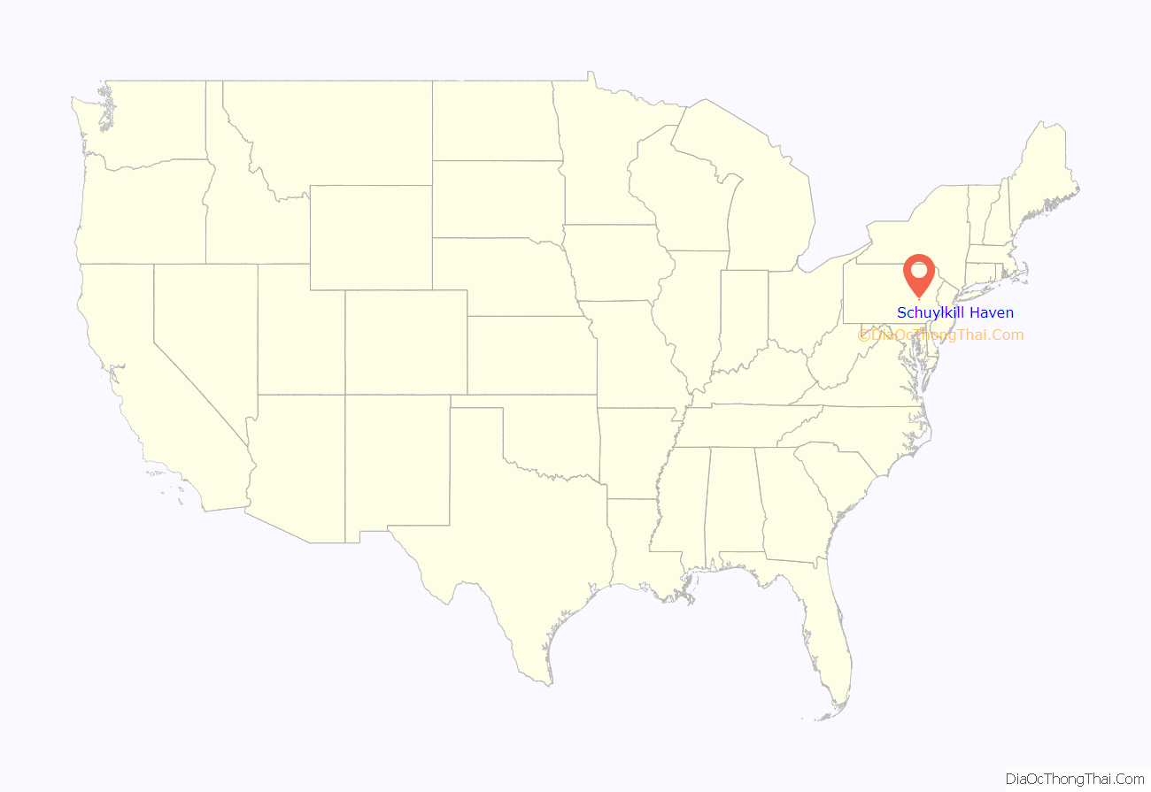
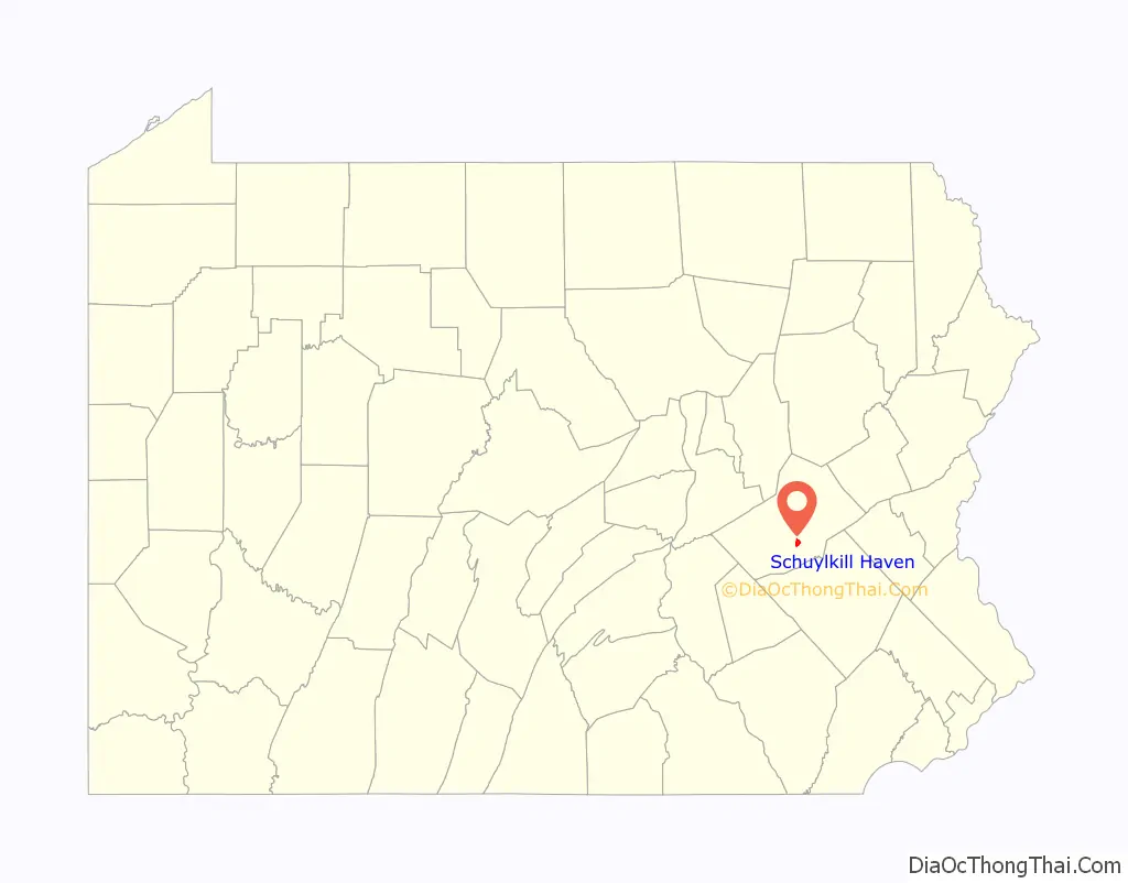
Schuylkill Haven location map. Where is Schuylkill Haven borough?
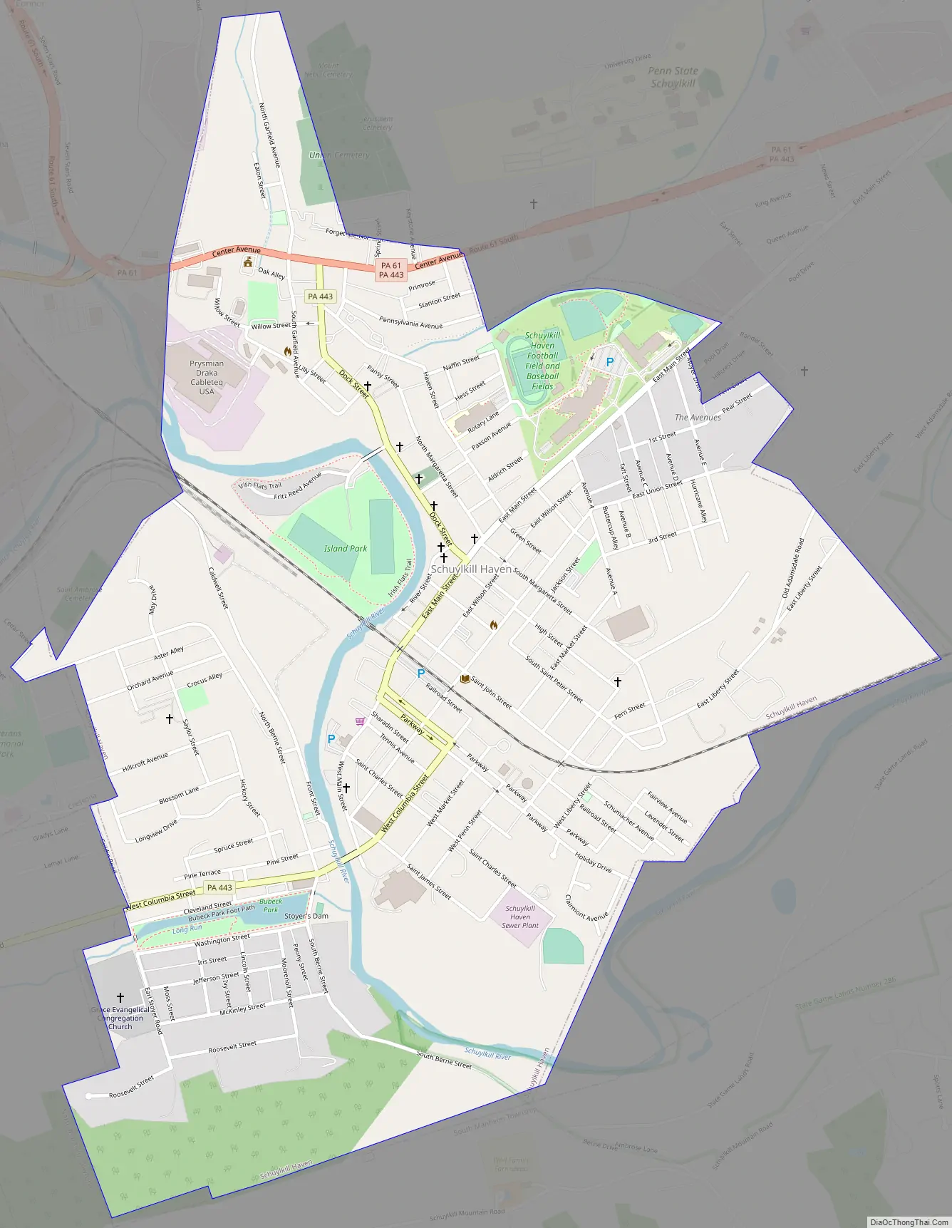
Schuylkill Haven Road Map
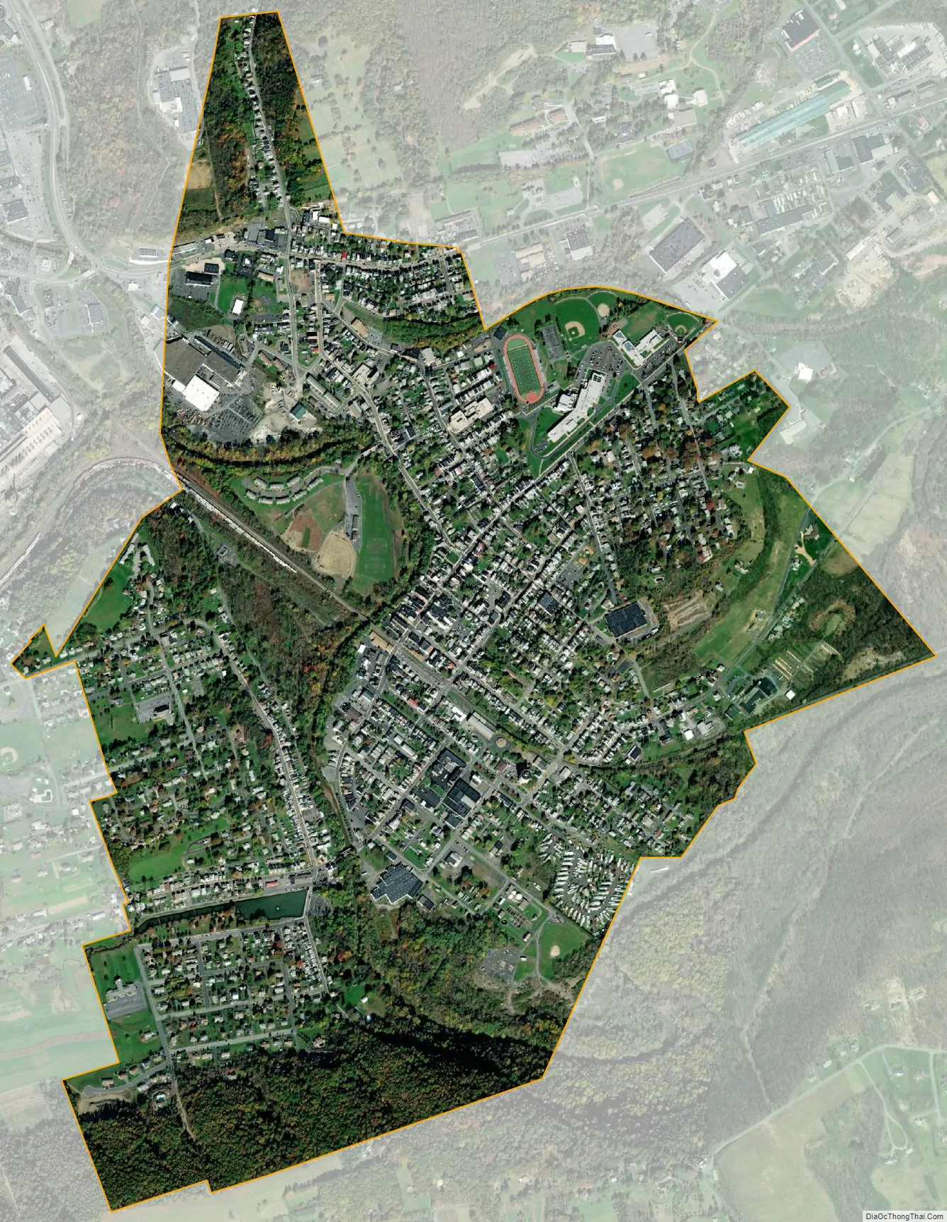
Schuylkill Haven city Satellite Map
Geography
Schuylkill Haven was developed around the Schuylkill River, which flows through the town entering northwest of Island Park (near Fritz Reed Avenue) and exiting at the southeastern border. he elevation at the river in the borough is approximately 490 feet (150 m) above sea level. Farther from the river, the borough extends up numerous hills, reaching its highest elevation of about 700 feet (210 m) above sea level near the top of Avenue C.
Schuylkill Haven receives an average of 47 inches (1,200 mm) of rain each year. The warmest month is normally July with an average high temperature of 84 °F (29 °C), while the coolest month is typically January with an average high of 36 °F (2 °C). The hardiness zone is 6b. The borough has a hot-summer humid continental climate (Dfa) and average monthly temperatures range from 28.1 °F in January to 73.1 °F in July.
According to the U.S. Census Bureau, the borough has a total area of 1.4 square miles (3.6 km), all land.
See also
Map of Pennsylvania State and its subdivision:- Adams
- Allegheny
- Armstrong
- Beaver
- Bedford
- Berks
- Blair
- Bradford
- Bucks
- Butler
- Cambria
- Cameron
- Carbon
- Centre
- Chester
- Clarion
- Clearfield
- Clinton
- Columbia
- Crawford
- Cumberland
- Dauphin
- Delaware
- Elk
- Erie
- Fayette
- Forest
- Franklin
- Fulton
- Greene
- Huntingdon
- Indiana
- Jefferson
- Juniata
- Lackawanna
- Lancaster
- Lawrence
- Lebanon
- Lehigh
- Luzerne
- Lycoming
- Mc Kean
- Mercer
- Mifflin
- Monroe
- Montgomery
- Montour
- Northampton
- Northumberland
- Perry
- Philadelphia
- Pike
- Potter
- Schuylkill
- Snyder
- Somerset
- Sullivan
- Susquehanna
- Tioga
- Union
- Venango
- Warren
- Washington
- Wayne
- Westmoreland
- Wyoming
- York
- Alabama
- Alaska
- Arizona
- Arkansas
- California
- Colorado
- Connecticut
- Delaware
- District of Columbia
- Florida
- Georgia
- Hawaii
- Idaho
- Illinois
- Indiana
- Iowa
- Kansas
- Kentucky
- Louisiana
- Maine
- Maryland
- Massachusetts
- Michigan
- Minnesota
- Mississippi
- Missouri
- Montana
- Nebraska
- Nevada
- New Hampshire
- New Jersey
- New Mexico
- New York
- North Carolina
- North Dakota
- Ohio
- Oklahoma
- Oregon
- Pennsylvania
- Rhode Island
- South Carolina
- South Dakota
- Tennessee
- Texas
- Utah
- Vermont
- Virginia
- Washington
- West Virginia
- Wisconsin
- Wyoming


