Wilson is a borough in Northampton County, Pennsylvania. The population was 8,259 at the 2020 census. Wilson is located adjacent to the city of Easton and is part of the Lehigh Valley metropolitan area, which had a population of 861,899 and was the 68th-most populous metropolitan area in the U.S. as of the 2020 census.
| Name: | Wilson borough |
|---|---|
| LSAD Code: | 21 |
| LSAD Description: | borough (suffix) |
| State: | Pennsylvania |
| County: | Northampton County |
| Elevation: | 394 ft (120 m) |
| Land Area: | 1.16 sq mi (2.99 km²) |
| Water Area: | 0.01 sq mi (0.01 km²) |
| Population Density: | 7,150.65/sq mi (2,760.10/km²) |
| ZIP code: | 18042 |
| Area code: | 610 and 484 |
| FIPS code: | 4285592 |
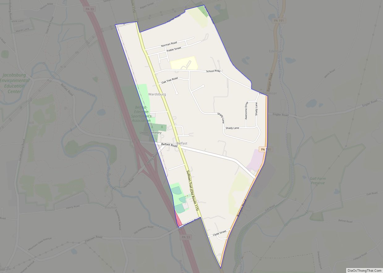
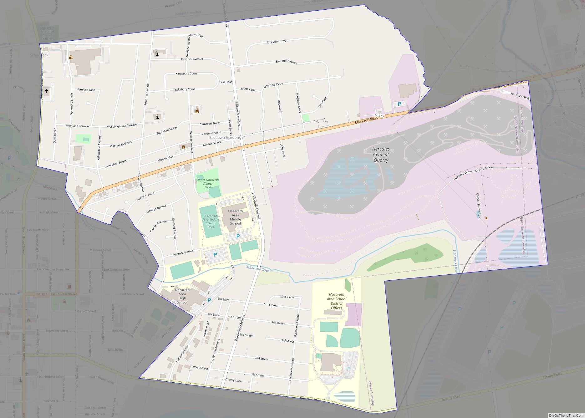
Online Interactive Map
Click on ![]() to view map in "full screen" mode.
to view map in "full screen" mode.
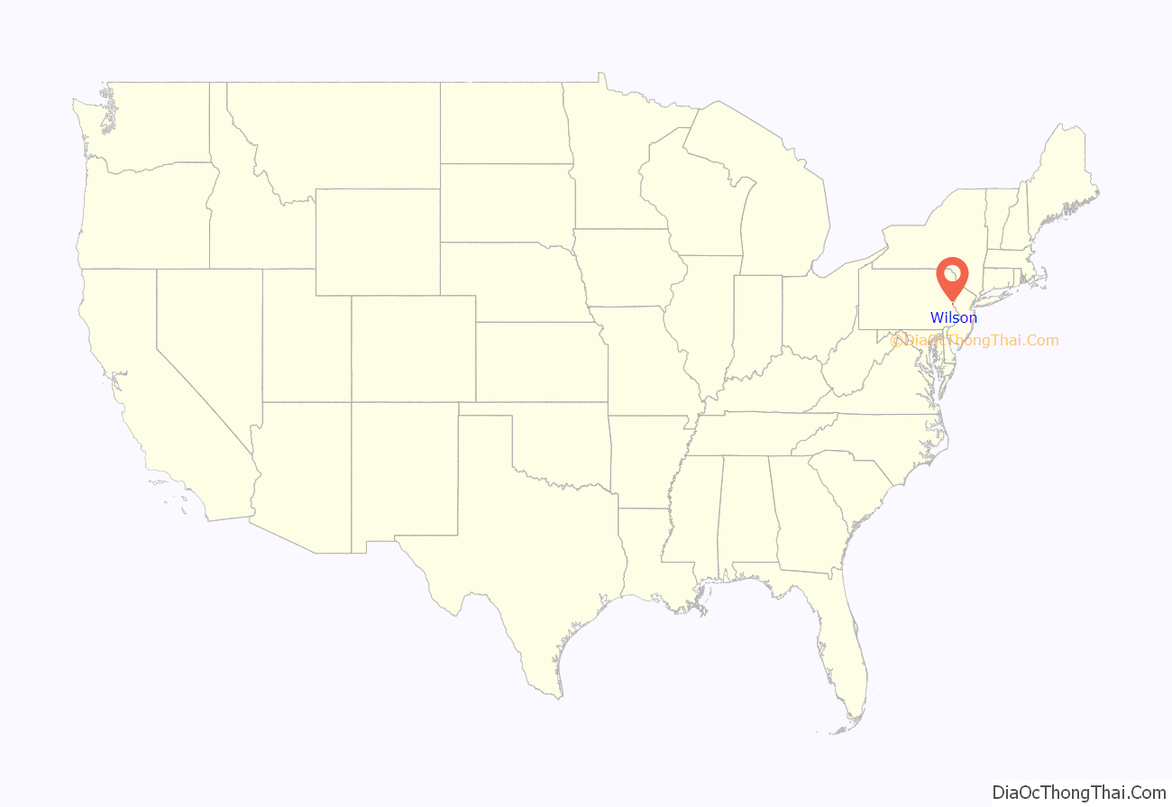
Wilson location map. Where is Wilson borough?

History
Wilson Borough is named after former U.S. President Woodrow Wilson. First formed as a township on February 10, 1913 during the first half of 1920, a number of property owners solicited the courts to change the form of government from a township to that of a borough.
According to the 1920 book, History of the Northampton County (Pennsylvania) and the Grand Valley of Lehigh, by the American Historical Association, supervised and revised by William J. Heller, the township was consummated by the courts in 1914, but the court case of Palmer School District v. Wilson School District indicates the township’s formation occurred on February 10, 1913.
There are two very early court cases soon after the creation of the new township in 1913. The first, Palmer School District v. Wilson School District, related to Wilson owing Palmer for a certain amount of indebtedness caused by the township’s creation. The second, Township of Wilson v. Easton Transit Co. in 1916, related to Wilson officials suing the transit company for performing work without first obtaining necessary permissions. The township lost this case, but in an appeal to Supreme Court of Pennsylvania on May 22, 1917, then Pennsylvania Supreme Court Justice Walling ruled, “The assignments of error are overruled and the decree is affirmed at the cost of the appellant.”
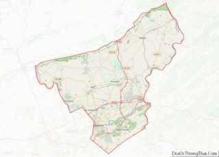
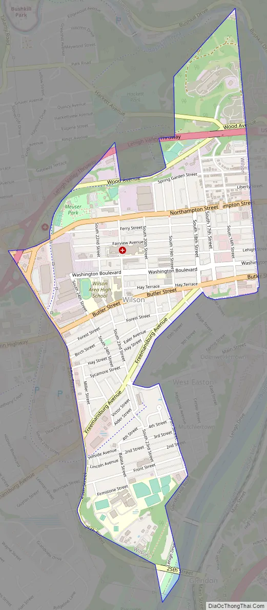
Wilson Road Map
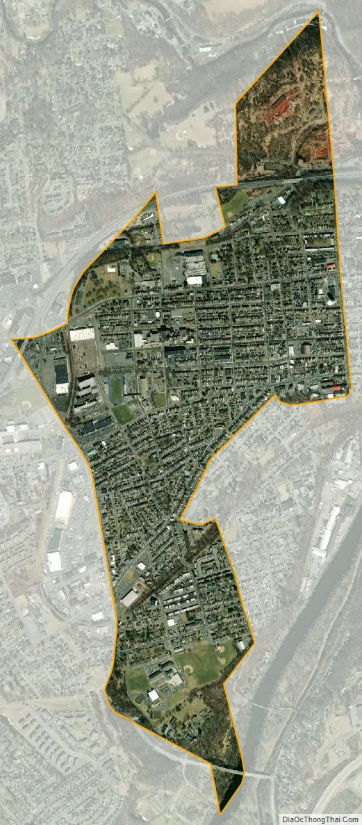
Wilson city Satellite Map
Geography
There is more than one Wilson in Pennsylvania. This borough is in the far east of Pennsylvania, in Northampton County; the two others are located near Clairton, south of Pittsburgh in Allegheny County, and in Clarion County. Wilson is located at 40°41′5″N 75°14′23″W / 40.68472°N 75.23972°W / 40.68472; -75.23972 (40.684648, -75.239626). According to the U.S. Census Bureau, the borough has a total area of 1.2 square miles (3.1 km), of which 1.2 square miles (3.1 km) is land and 0.80% is water.
See also
Map of Pennsylvania State and its subdivision:- Adams
- Allegheny
- Armstrong
- Beaver
- Bedford
- Berks
- Blair
- Bradford
- Bucks
- Butler
- Cambria
- Cameron
- Carbon
- Centre
- Chester
- Clarion
- Clearfield
- Clinton
- Columbia
- Crawford
- Cumberland
- Dauphin
- Delaware
- Elk
- Erie
- Fayette
- Forest
- Franklin
- Fulton
- Greene
- Huntingdon
- Indiana
- Jefferson
- Juniata
- Lackawanna
- Lancaster
- Lawrence
- Lebanon
- Lehigh
- Luzerne
- Lycoming
- Mc Kean
- Mercer
- Mifflin
- Monroe
- Montgomery
- Montour
- Northampton
- Northumberland
- Perry
- Philadelphia
- Pike
- Potter
- Schuylkill
- Snyder
- Somerset
- Sullivan
- Susquehanna
- Tioga
- Union
- Venango
- Warren
- Washington
- Wayne
- Westmoreland
- Wyoming
- York
- Alabama
- Alaska
- Arizona
- Arkansas
- California
- Colorado
- Connecticut
- Delaware
- District of Columbia
- Florida
- Georgia
- Hawaii
- Idaho
- Illinois
- Indiana
- Iowa
- Kansas
- Kentucky
- Louisiana
- Maine
- Maryland
- Massachusetts
- Michigan
- Minnesota
- Mississippi
- Missouri
- Montana
- Nebraska
- Nevada
- New Hampshire
- New Jersey
- New Mexico
- New York
- North Carolina
- North Dakota
- Ohio
- Oklahoma
- Oregon
- Pennsylvania
- Rhode Island
- South Carolina
- South Dakota
- Tennessee
- Texas
- Utah
- Vermont
- Virginia
- Washington
- West Virginia
- Wisconsin
- Wyoming