Bonneau is a town in Berkeley County, South Carolina, United States. The population was 487 at the 2010 census. It is part of the Charleston–North Charleston–Summerville Metropolitan Statistical Area.
| Name: | Bonneau town |
|---|---|
| LSAD Code: | 43 |
| LSAD Description: | town (suffix) |
| State: | South Carolina |
| County: | Berkeley County |
| Elevation: | 59 ft (18 m) |
| Total Area: | 3.12 sq mi (8.07 km²) |
| Land Area: | 3.02 sq mi (7.83 km²) |
| Water Area: | 0.09 sq mi (0.24 km²) |
| Total Population: | 431 |
| Population Density: | 142.53/sq mi (55.04/km²) |
| ZIP code: | 29431 |
| FIPS code: | 4507525 |
| GNISfeature ID: | 1246941 |
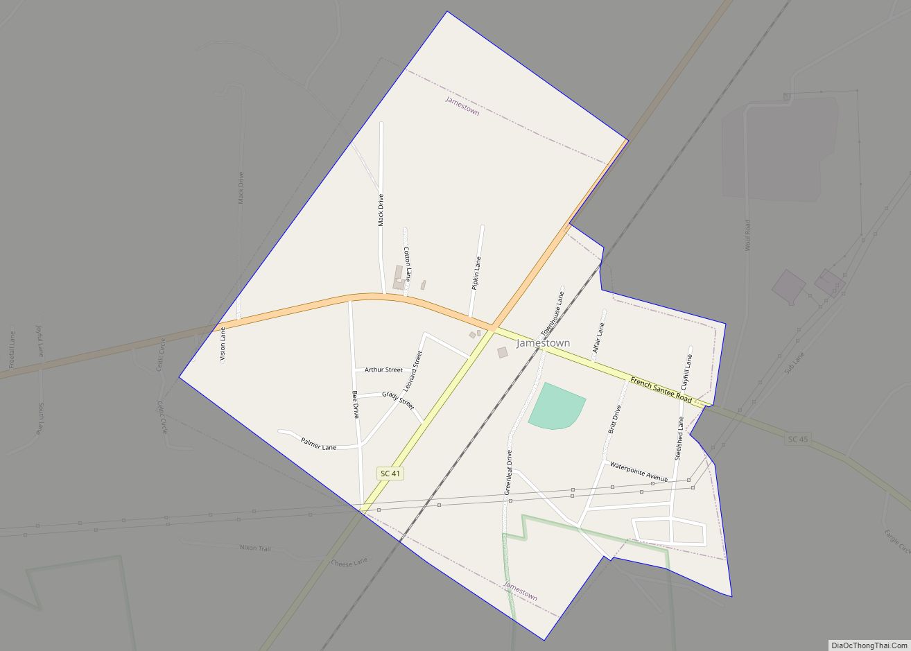
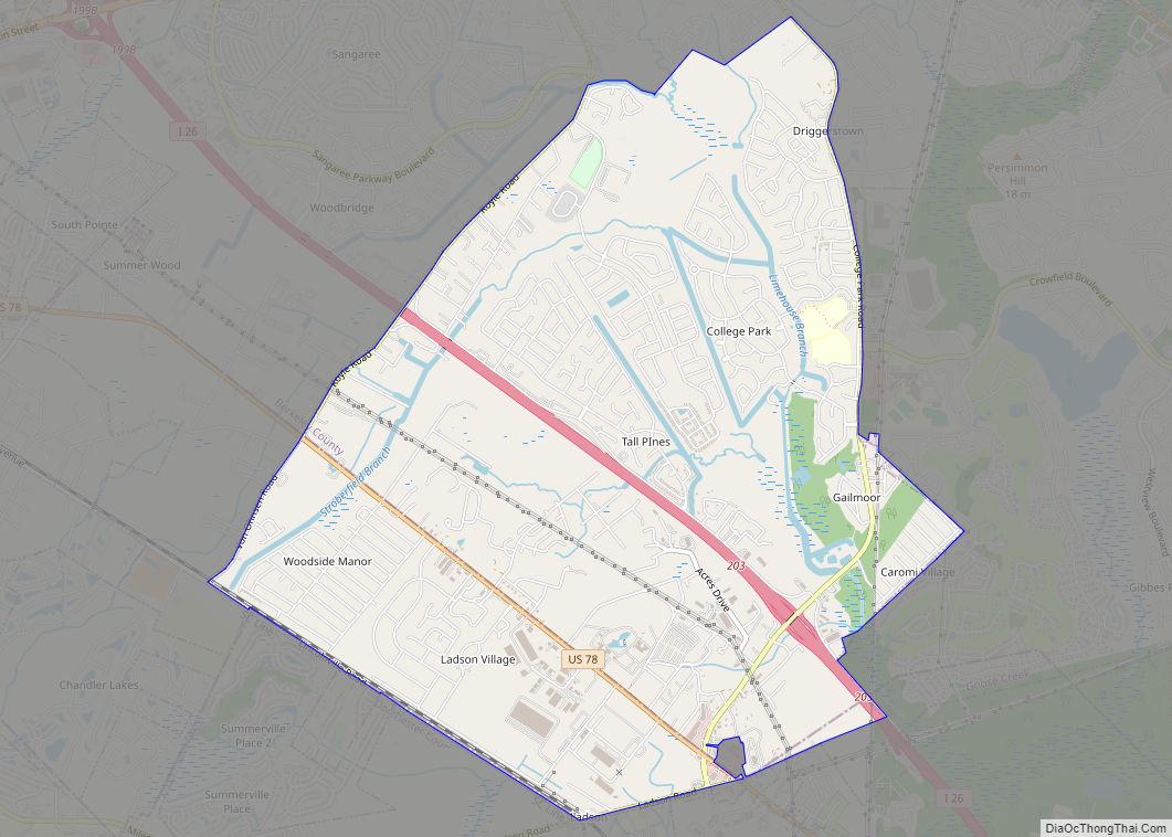
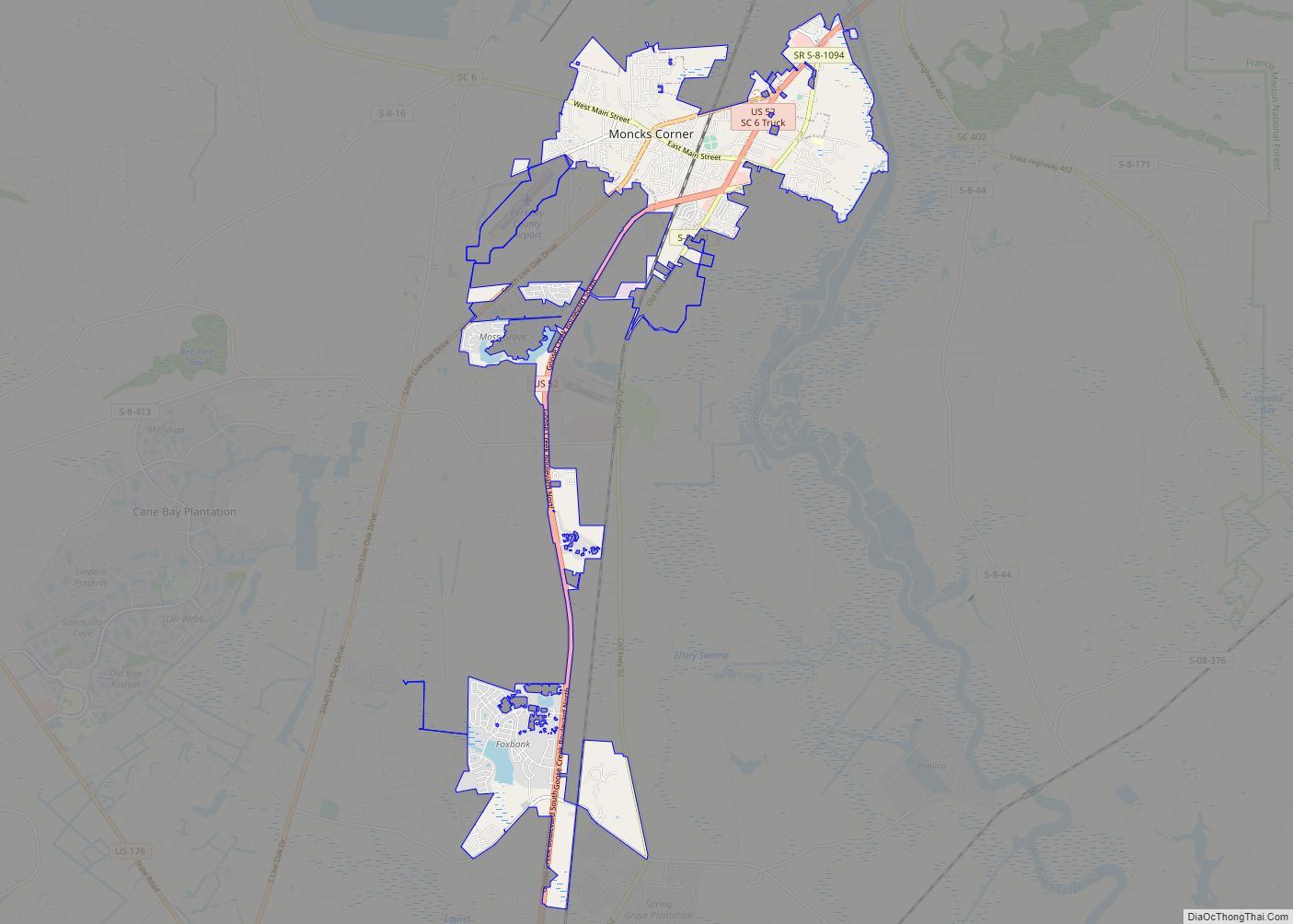
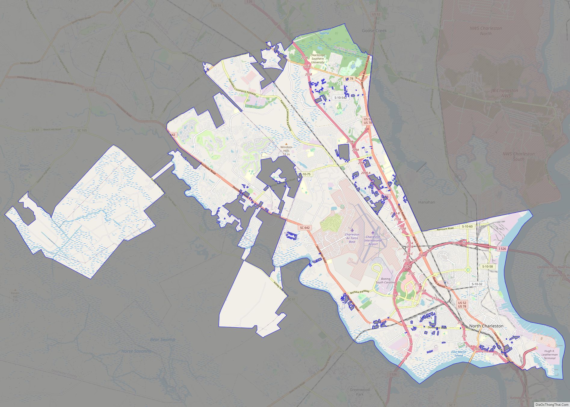
Online Interactive Map
Click on ![]() to view map in "full screen" mode.
to view map in "full screen" mode.
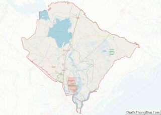
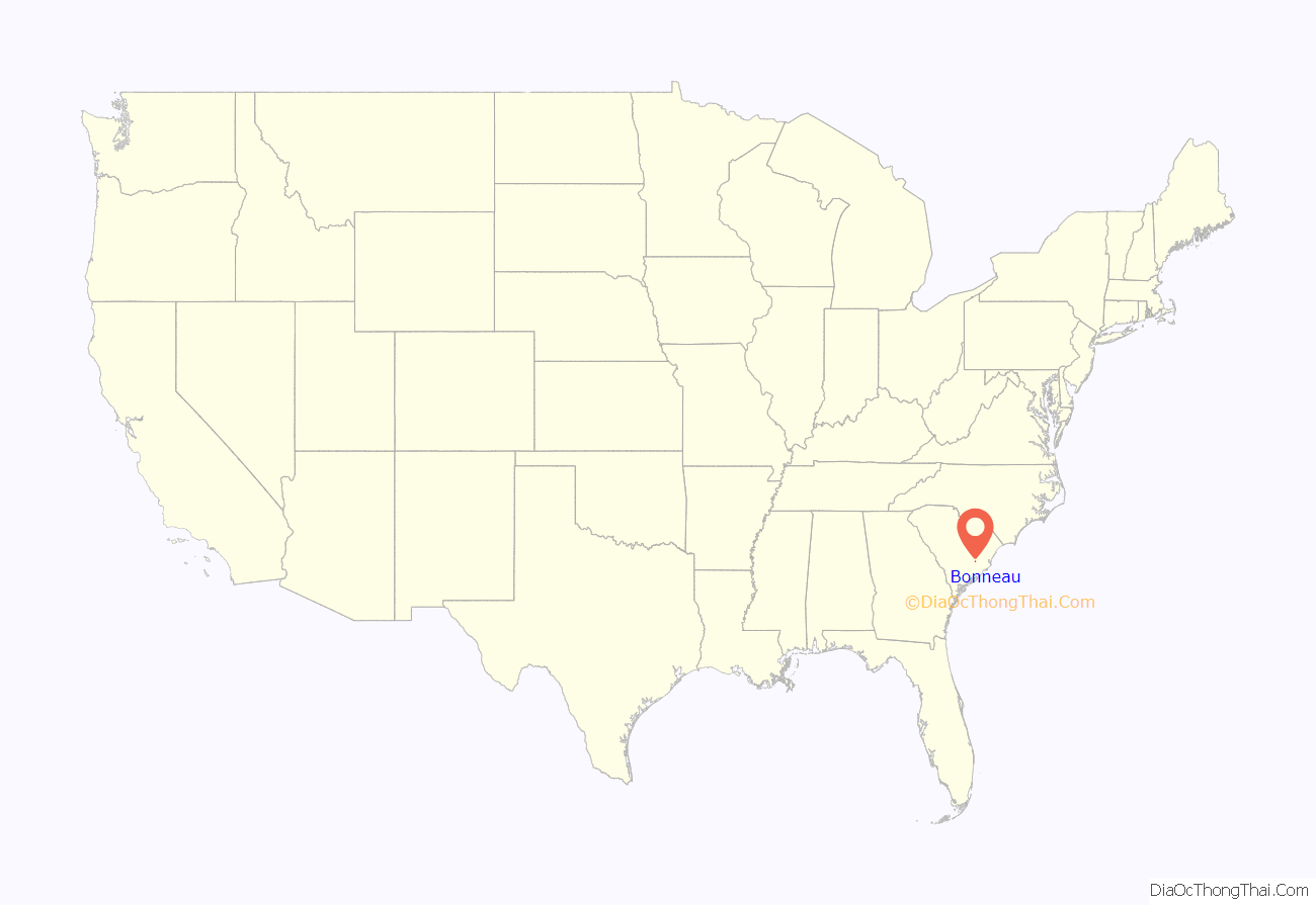
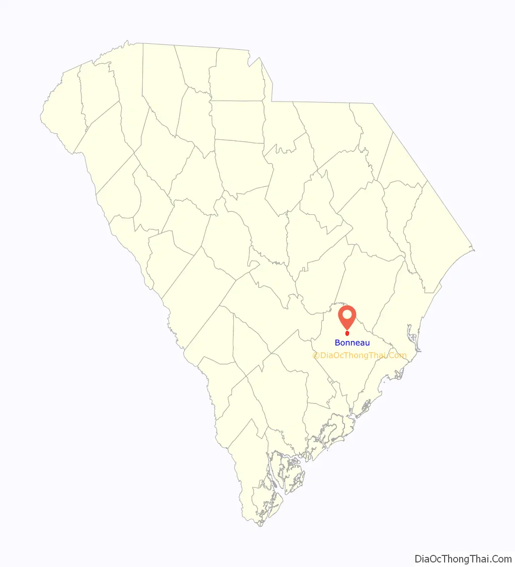
Bonneau location map. Where is Bonneau town?
History
The community was named after the family of Floride Bonneau Calhoun, wife of U.S. politician John C. Calhoun.
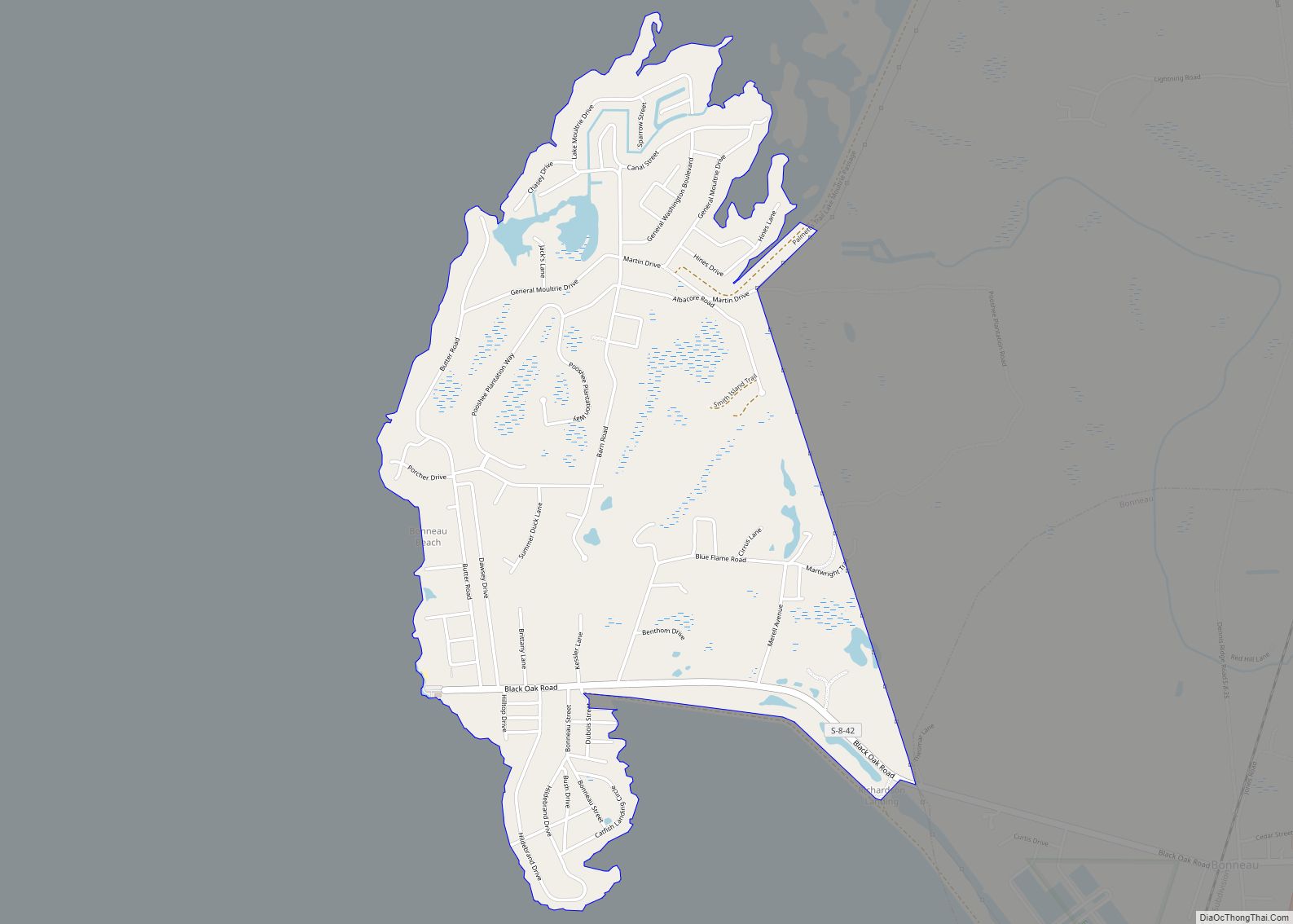
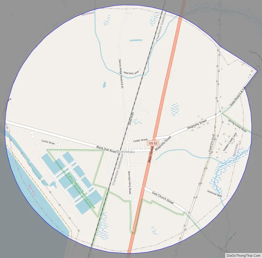
Bonneau Road Map
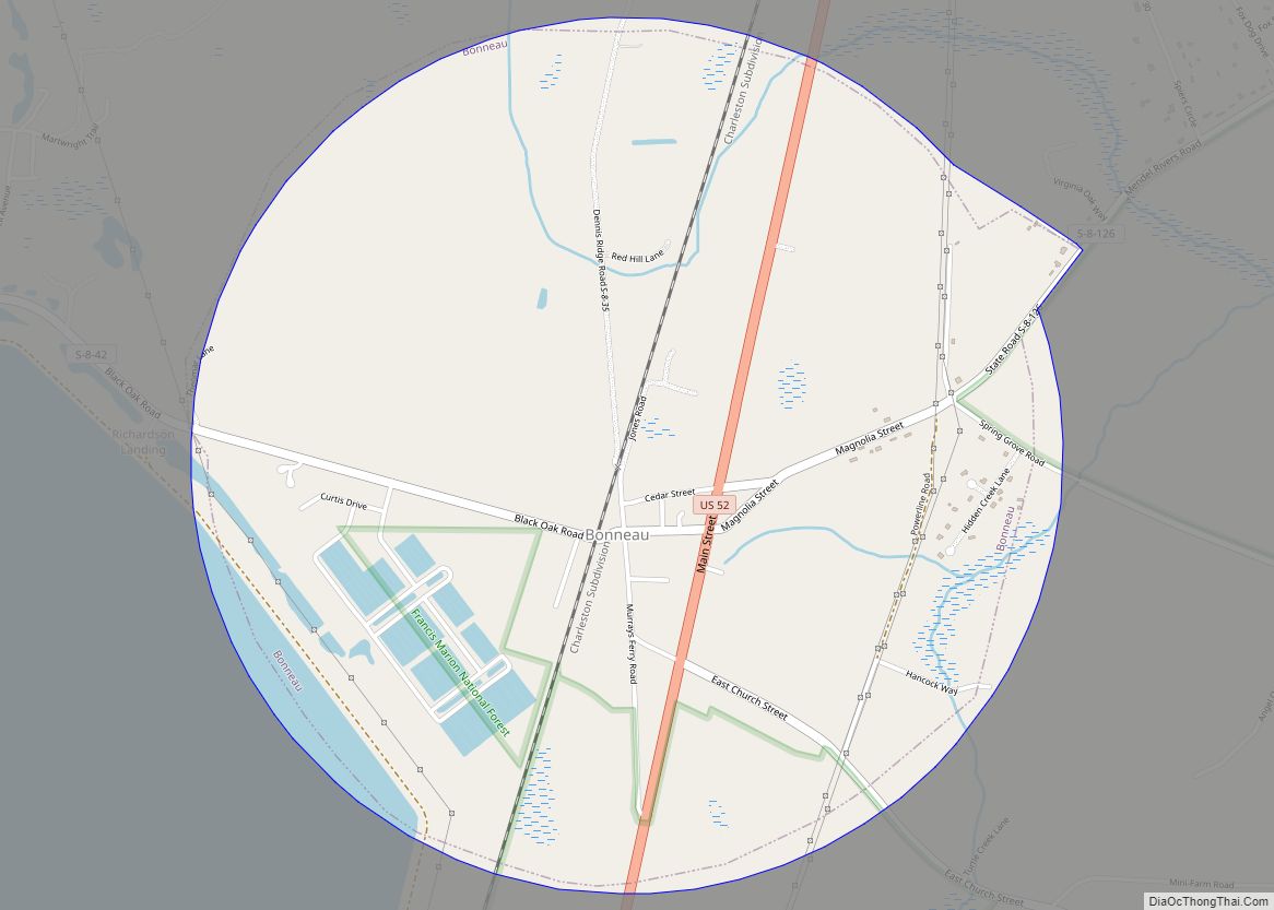
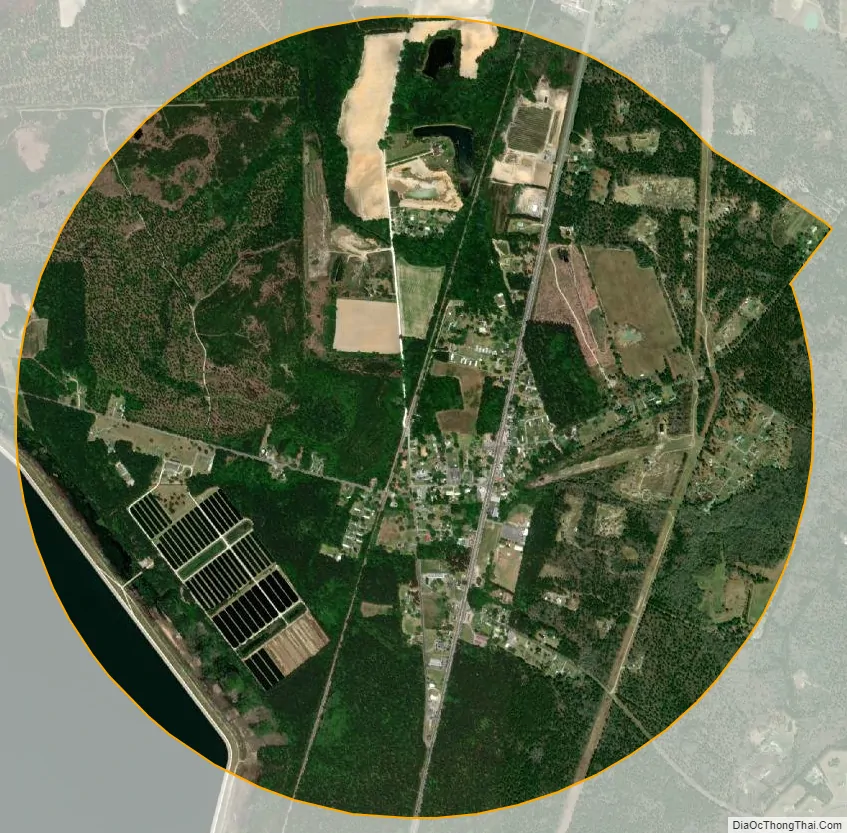
Bonneau city Satellite Map
Geography
Bonneau is located in north-central Berkeley County on the east shore of Lake Moultrie at 33°18′24″N 79°57′28″W / 33.30667°N 79.95778°W / 33.30667; -79.95778 (33.306720, -79.957836) The town is on the western edge of the Francis Marion National Forest. U.S. Route 52 passes through the town, leading south 41 miles (66 km) to Charleston and north 71 miles (114 km) to Florence.
According to the United States Census Bureau, the town has a total area of 3.1 square miles (7.9 km), of which 3.0 square miles (7.8 km) is land and 0.039 square miles (0.1 km), or 1.74%, is water.
See also
Map of South Carolina State and its subdivision:- Abbeville
- Aiken
- Allendale
- Anderson
- Bamberg
- Barnwell
- Beaufort
- Berkeley
- Calhoun
- Charleston
- Cherokee
- Chester
- Chesterfield
- Clarendon
- Colleton
- Darlington
- Dillon
- Dorchester
- Edgefield
- Fairfield
- Florence
- Georgetown
- Greenville
- Greenwood
- Hampton
- Horry
- Jasper
- Kershaw
- Lancaster
- Laurens
- Lee
- Lexington
- Marion
- Marlboro
- McCormick
- Newberry
- Oconee
- Orangeburg
- Pickens
- Richland
- Saluda
- Spartanburg
- Sumter
- Union
- Williamsburg
- York
- Alabama
- Alaska
- Arizona
- Arkansas
- California
- Colorado
- Connecticut
- Delaware
- District of Columbia
- Florida
- Georgia
- Hawaii
- Idaho
- Illinois
- Indiana
- Iowa
- Kansas
- Kentucky
- Louisiana
- Maine
- Maryland
- Massachusetts
- Michigan
- Minnesota
- Mississippi
- Missouri
- Montana
- Nebraska
- Nevada
- New Hampshire
- New Jersey
- New Mexico
- New York
- North Carolina
- North Dakota
- Ohio
- Oklahoma
- Oregon
- Pennsylvania
- Rhode Island
- South Carolina
- South Dakota
- Tennessee
- Texas
- Utah
- Vermont
- Virginia
- Washington
- West Virginia
- Wisconsin
- Wyoming