St. Stephen is a town in Berkeley County, South Carolina, United States. The population was 1,697 at the 2010 census.
St. Stephen is included within the Charleston-North Charleston-Summerville metropolitan area.
| Name: | St. Stephen town |
|---|---|
| LSAD Code: | 43 |
| LSAD Description: | town (suffix) |
| State: | South Carolina |
| County: | Berkeley County |
| Elevation: | 79 ft (24 m) |
| Total Area: | 2.42 sq mi (6.27 km²) |
| Land Area: | 2.42 sq mi (6.27 km²) |
| Water Area: | 0.00 sq mi (0.00 km²) |
| Total Population: | 1,571 |
| Population Density: | 649.44/sq mi (250.74/km²) |
| ZIP code: | 29479 |
| Area code: | 843 and 854 |
| FIPS code: | 4562755 |
| GNISfeature ID: | 1250704 |
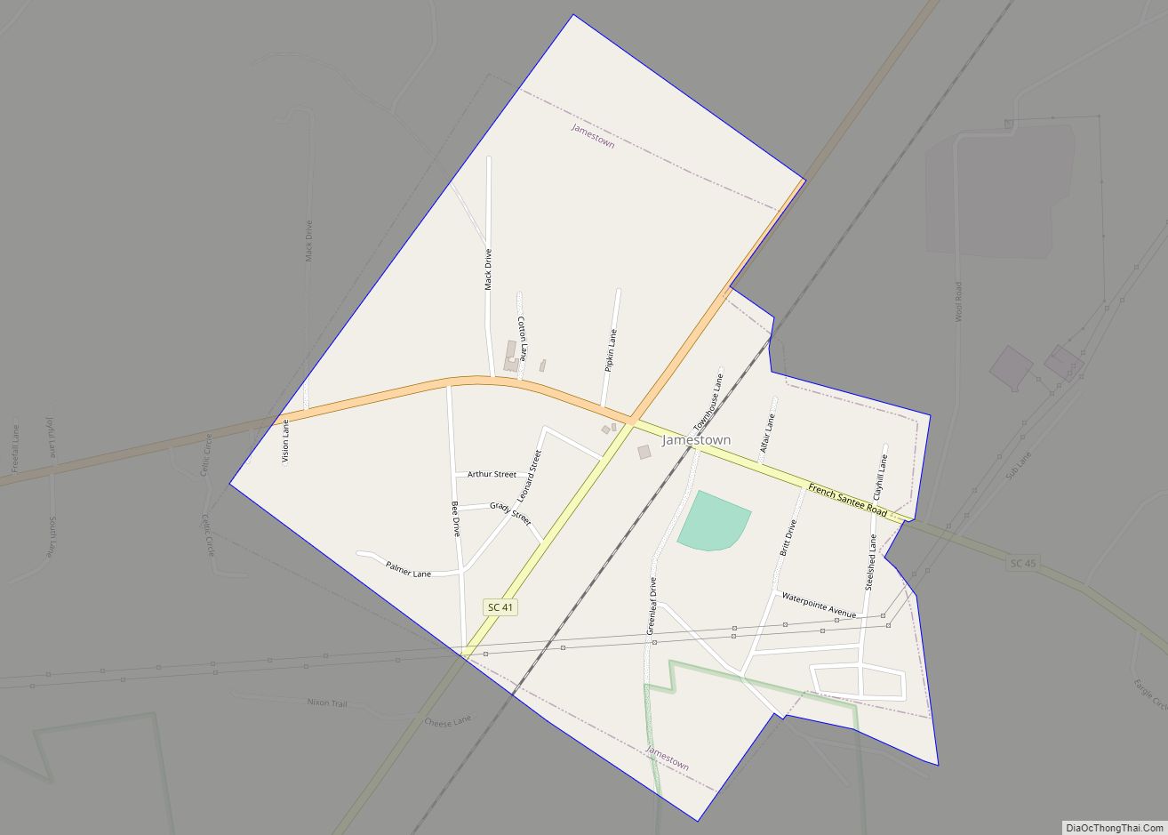
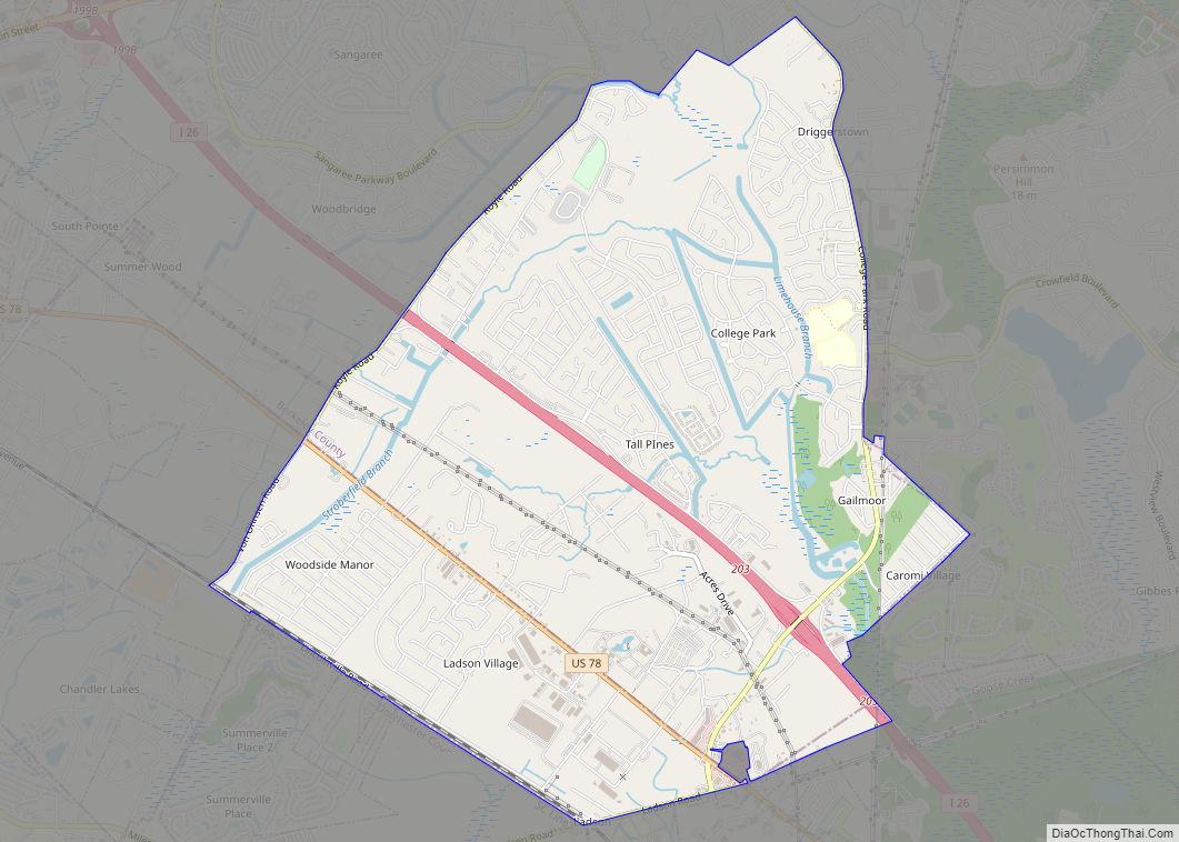
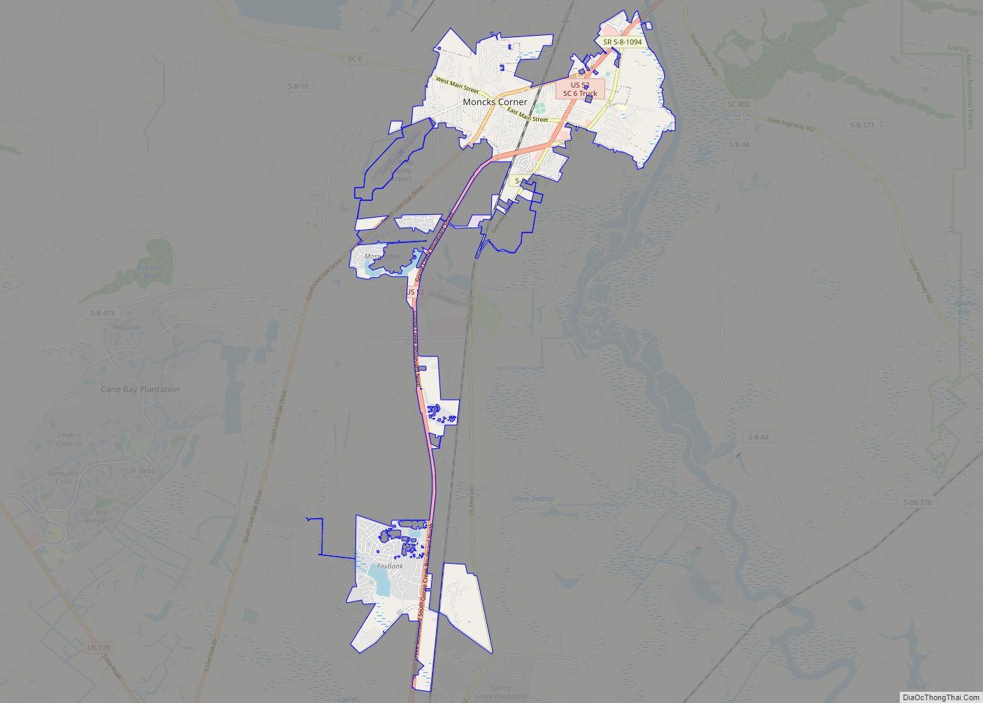
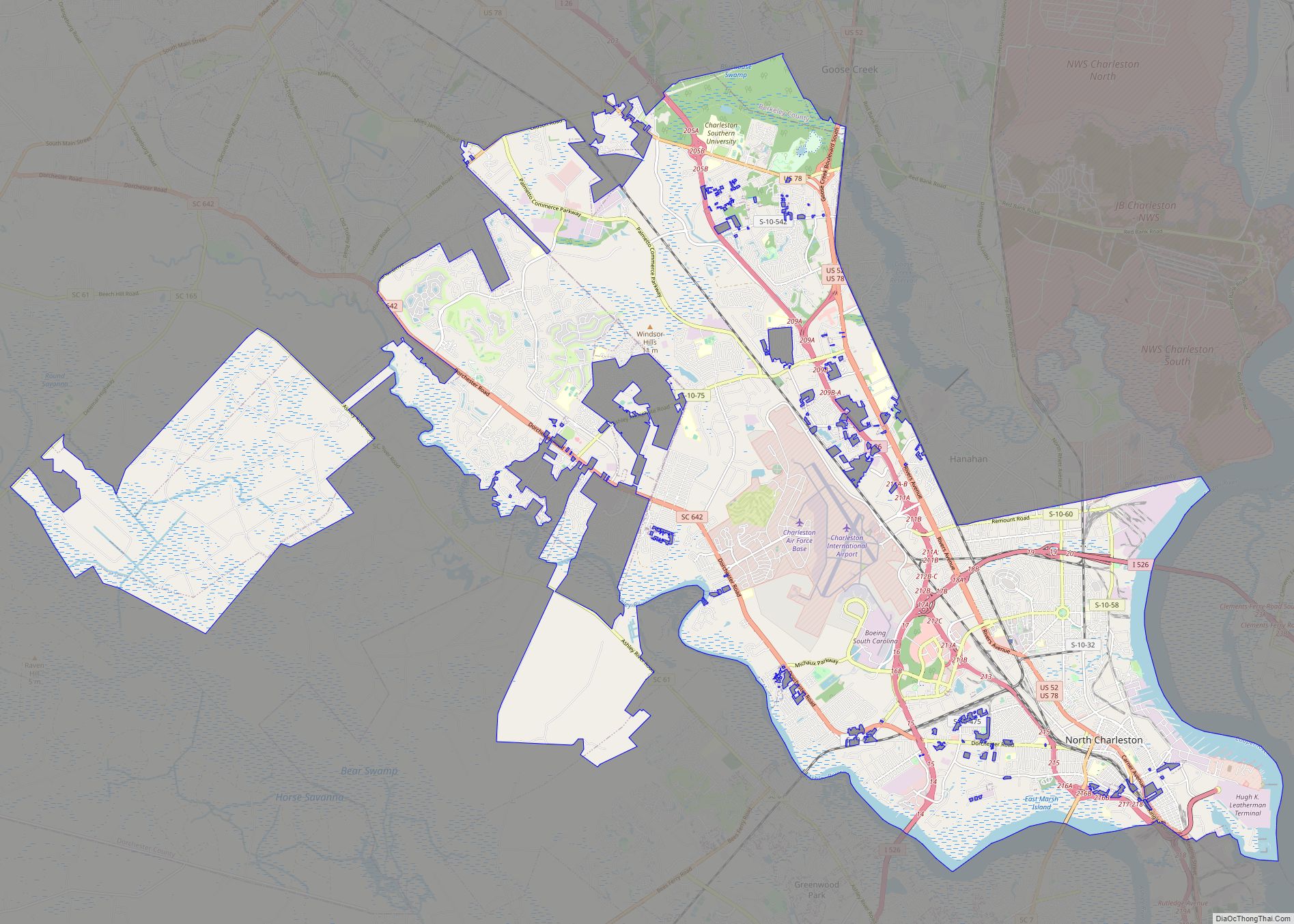
Online Interactive Map
Click on ![]() to view map in "full screen" mode.
to view map in "full screen" mode.
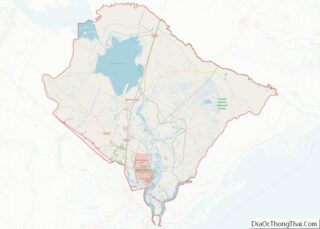
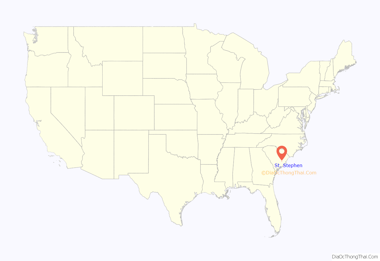
St. Stephen location map. Where is St. Stephen town?
History
The Keller Site and St. Stephen’s Episcopal Church are listed on the National Register of Historic Places.
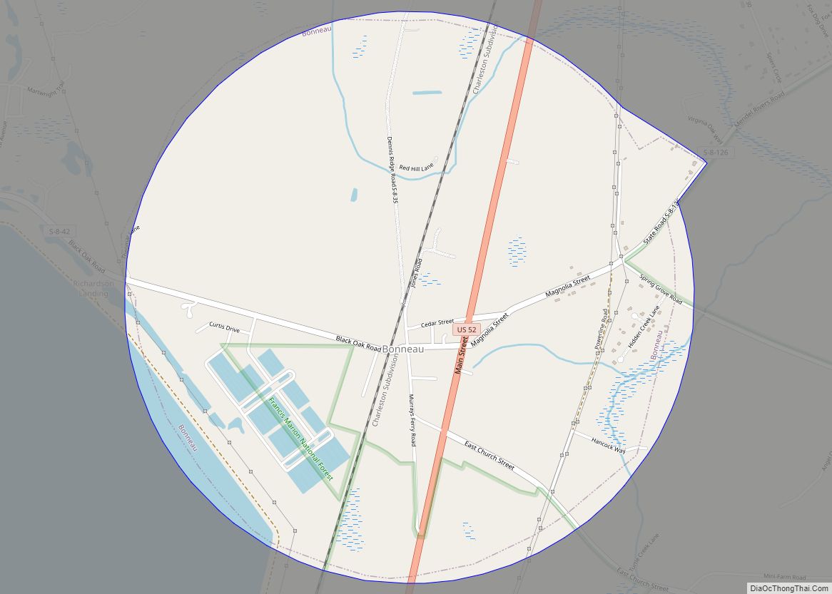
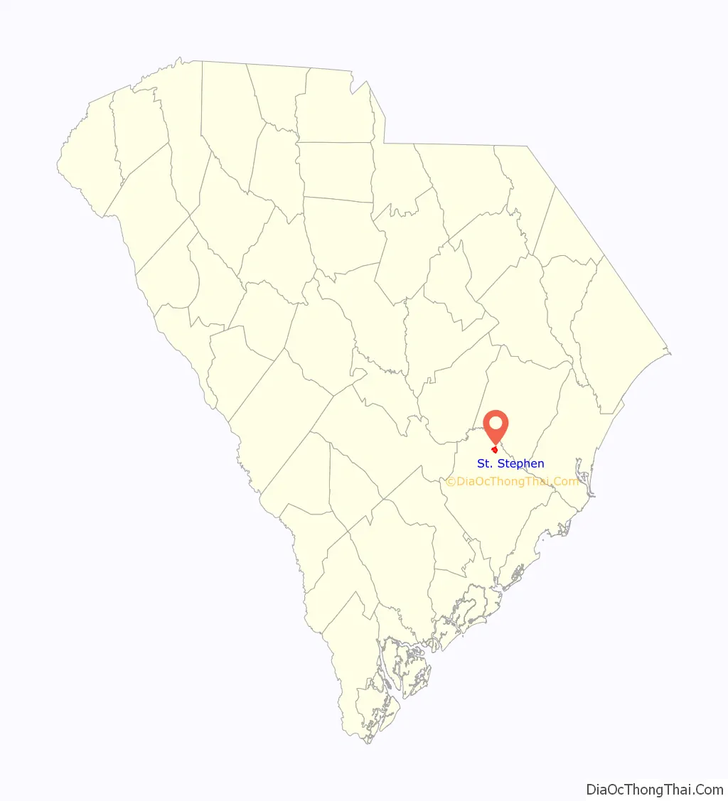
St. Stephen Road Map

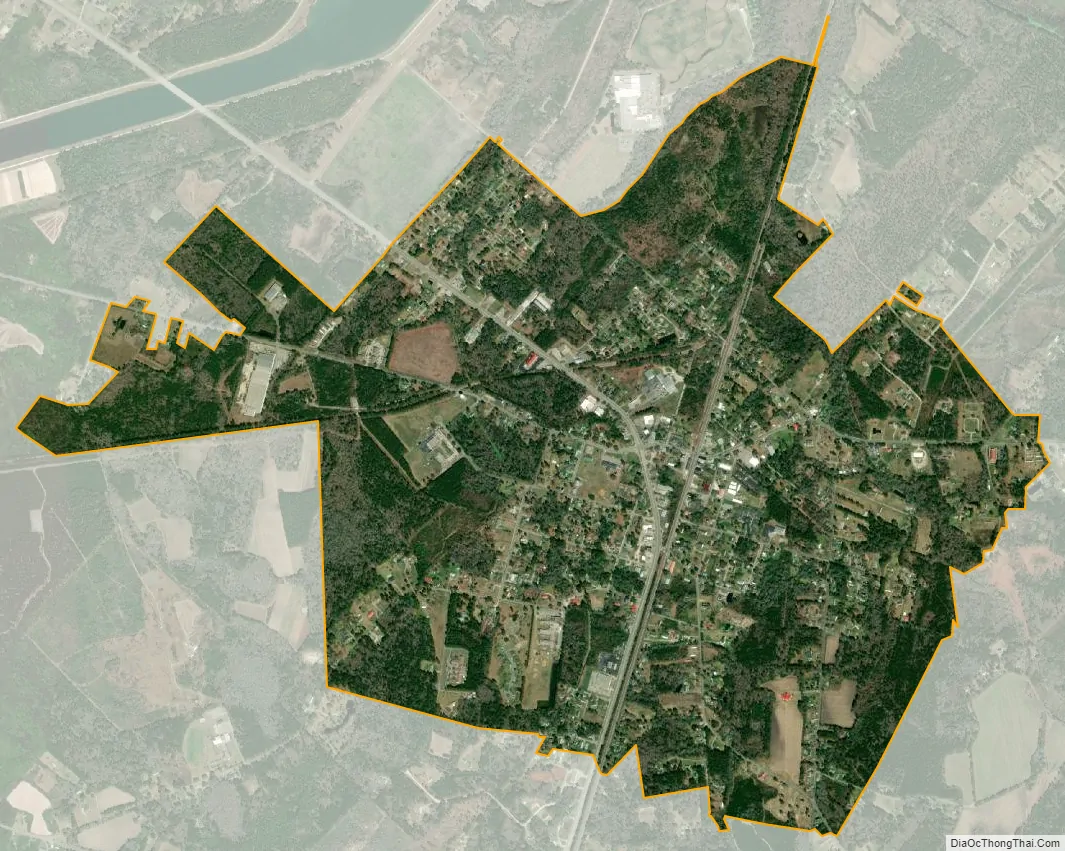
St. Stephen city Satellite Map
Geography
St. Stephen is located in northern Berkeley County at 33°24′18″N 79°55′24″W / 33.40500°N 79.92333°W / 33.40500; -79.92333 (33.405024, -79.923365), between Lake Moultrie to the west and the Santee River to the northeast. The town lies along the western edge of Francis Marion National Forest near its northernmost point.
U.S. Route 52 runs through the center of the town, leading north 25 miles (40 km) to Kingstree and south 17 miles (27 km) to Moncks Corner, the Berkeley County seat. South Carolina Highway 45 crosses US 52 in the town center and leads west 30 miles (48 km) to Eutawville and southeast 40 miles (64 km) to McClellanville near the Atlantic Ocean.
According to the United States Census Bureau, the town has a total area of 2.4 square miles (6.2 km), all of it land.
See also
Map of South Carolina State and its subdivision:- Abbeville
- Aiken
- Allendale
- Anderson
- Bamberg
- Barnwell
- Beaufort
- Berkeley
- Calhoun
- Charleston
- Cherokee
- Chester
- Chesterfield
- Clarendon
- Colleton
- Darlington
- Dillon
- Dorchester
- Edgefield
- Fairfield
- Florence
- Georgetown
- Greenville
- Greenwood
- Hampton
- Horry
- Jasper
- Kershaw
- Lancaster
- Laurens
- Lee
- Lexington
- Marion
- Marlboro
- McCormick
- Newberry
- Oconee
- Orangeburg
- Pickens
- Richland
- Saluda
- Spartanburg
- Sumter
- Union
- Williamsburg
- York
- Alabama
- Alaska
- Arizona
- Arkansas
- California
- Colorado
- Connecticut
- Delaware
- District of Columbia
- Florida
- Georgia
- Hawaii
- Idaho
- Illinois
- Indiana
- Iowa
- Kansas
- Kentucky
- Louisiana
- Maine
- Maryland
- Massachusetts
- Michigan
- Minnesota
- Mississippi
- Missouri
- Montana
- Nebraska
- Nevada
- New Hampshire
- New Jersey
- New Mexico
- New York
- North Carolina
- North Dakota
- Ohio
- Oklahoma
- Oregon
- Pennsylvania
- Rhode Island
- South Carolina
- South Dakota
- Tennessee
- Texas
- Utah
- Vermont
- Virginia
- Washington
- West Virginia
- Wisconsin
- Wyoming