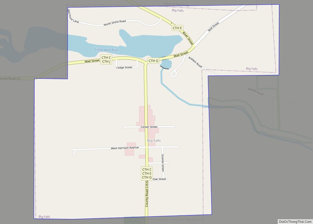
Big Falls is a village in Waupaca County, Wisconsin, United States. The population was 61 at the 2010 census.
| Name: | Big Falls village |
|---|---|
| LSAD Code: | 47 |
| LSAD Description: | village (suffix) |
| State: | Wisconsin |
| County: | Waupaca County |
| Total Area: | 0.50 sq mi (1.30 km²) |
| Land Area: | 0.47 sq mi (1.23 km²) |
| Water Area: | 0.03 sq mi (0.07 km²) |
| Total Population: | 61 |
| Population Density: | 145.57/sq mi (56.19/km²) |
| FIPS code: | 5507250 |
| GNISfeature ID: | 1582808 |
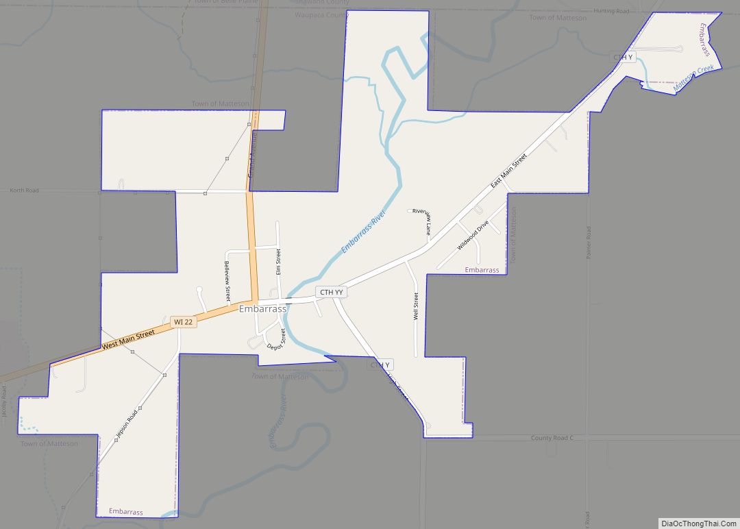
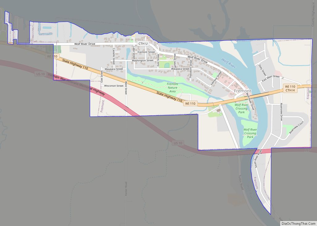
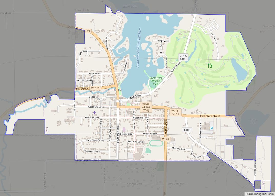
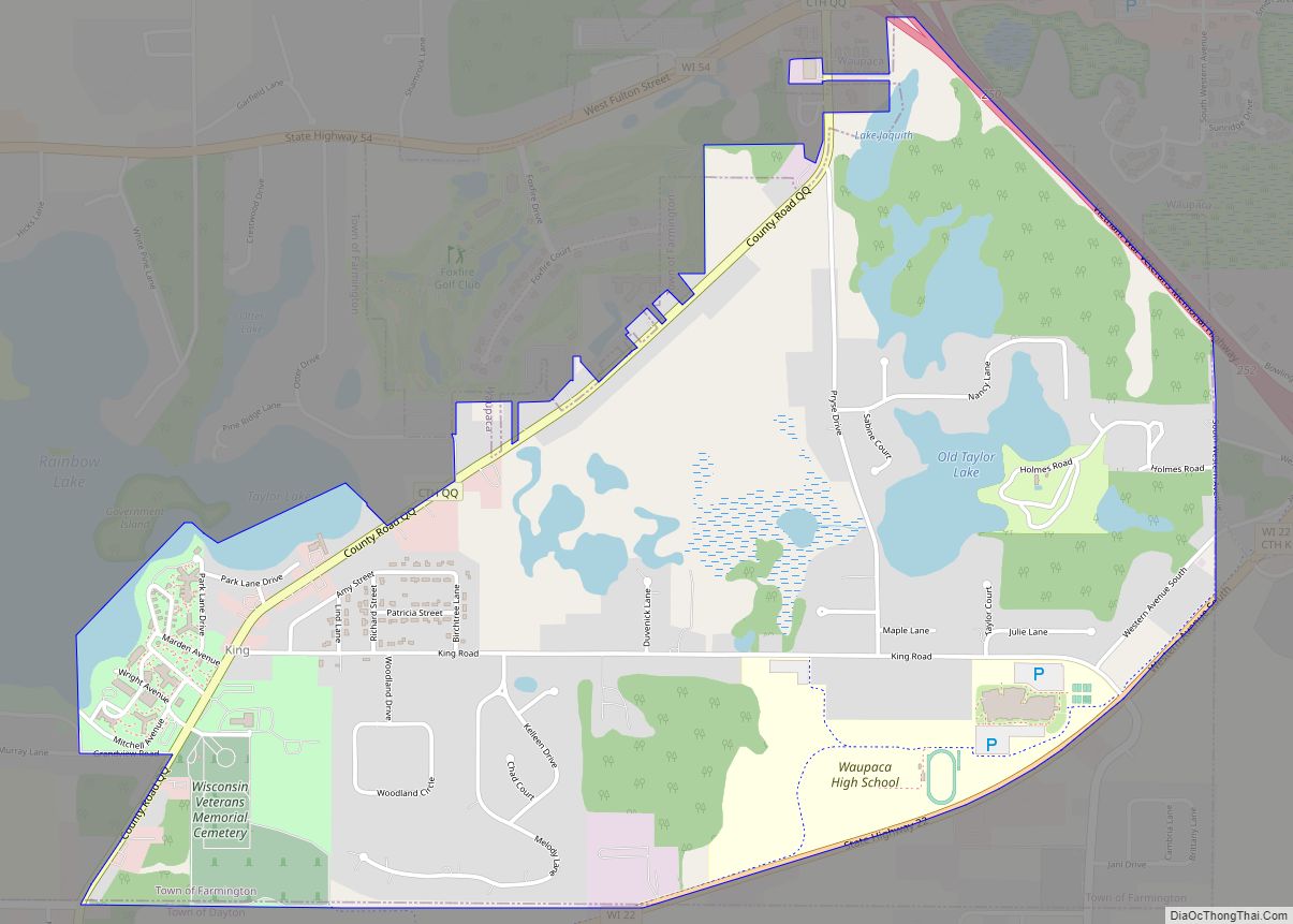
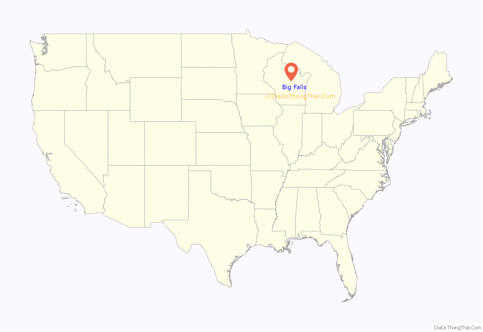
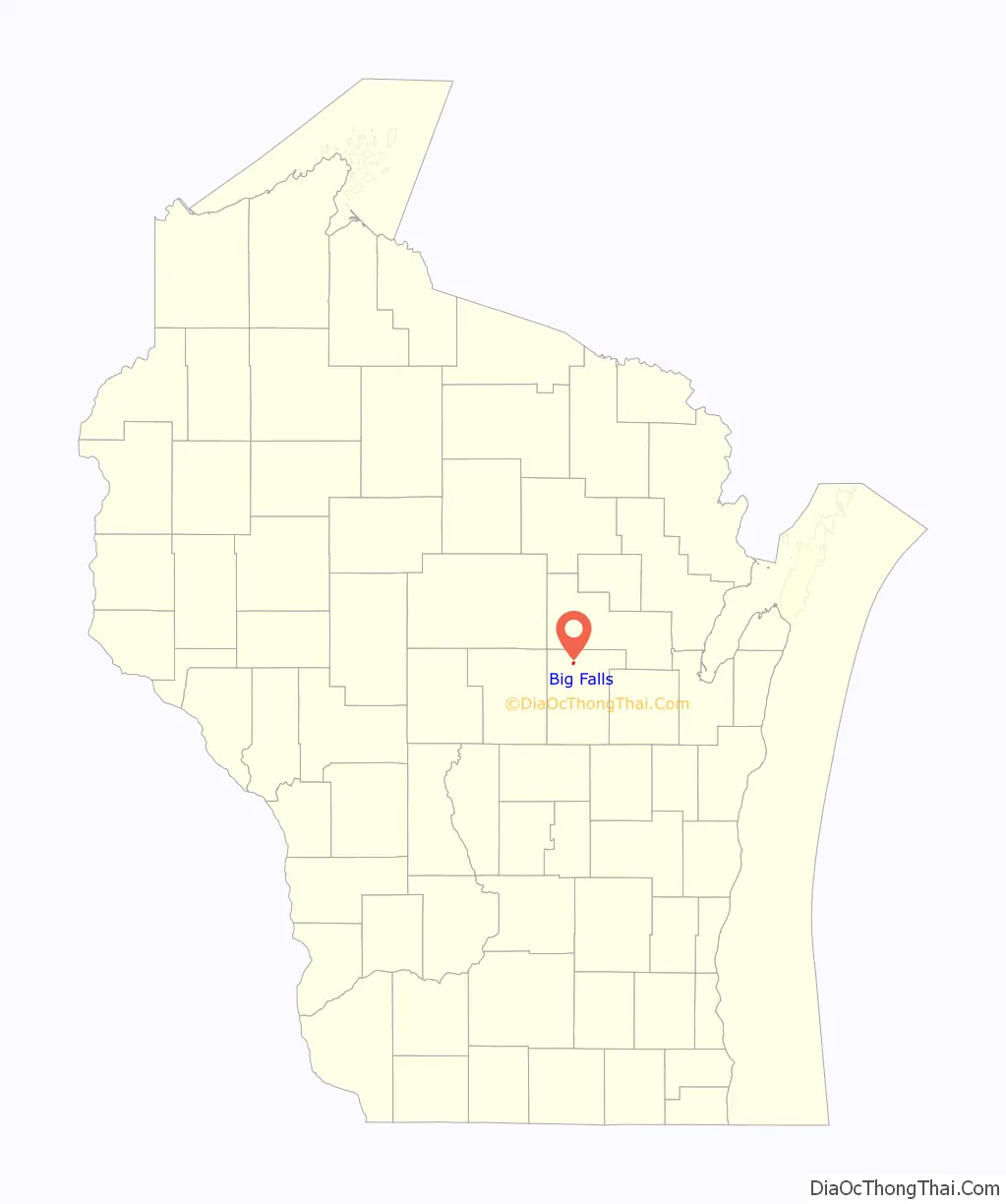
Online Interactive Map
Click on ![]() to view map in "full screen" mode.
to view map in "full screen" mode.
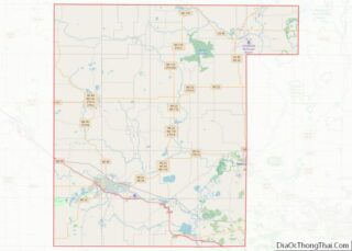
Big Falls location map. Where is Big Falls village?
History
The village was founded in 1882 as a lumbering town, and was named for the Little Wolf River falls.
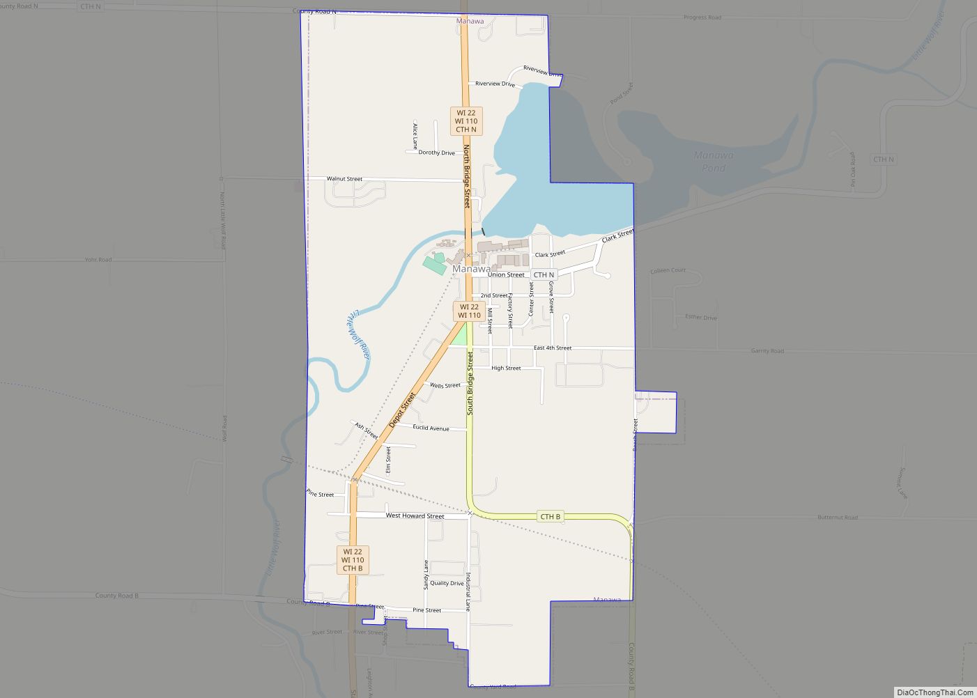
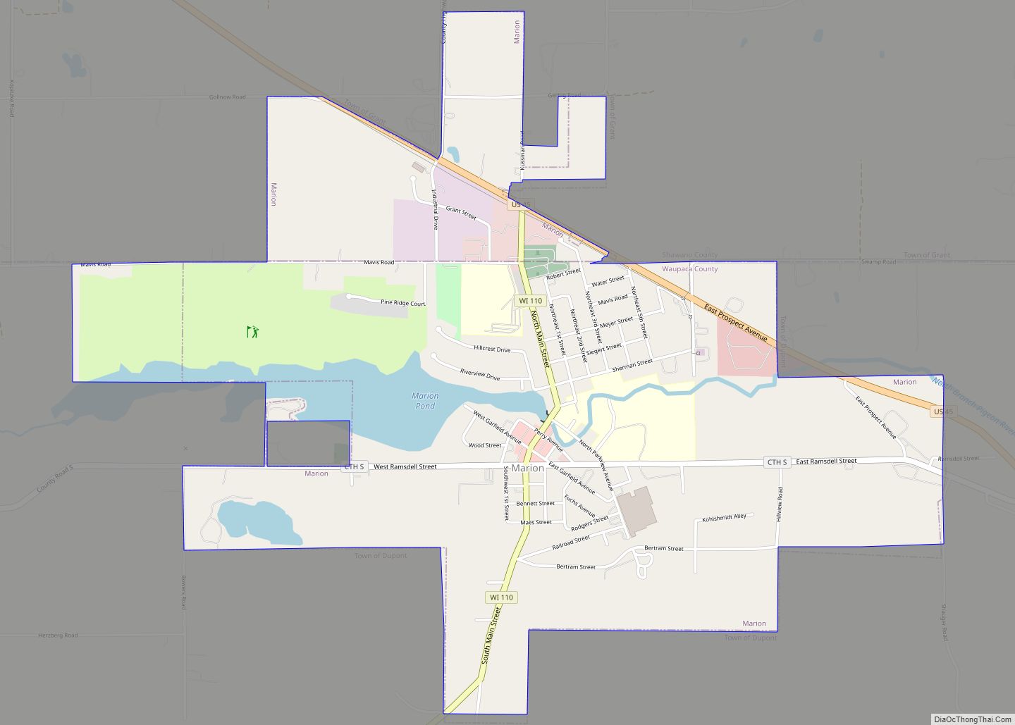
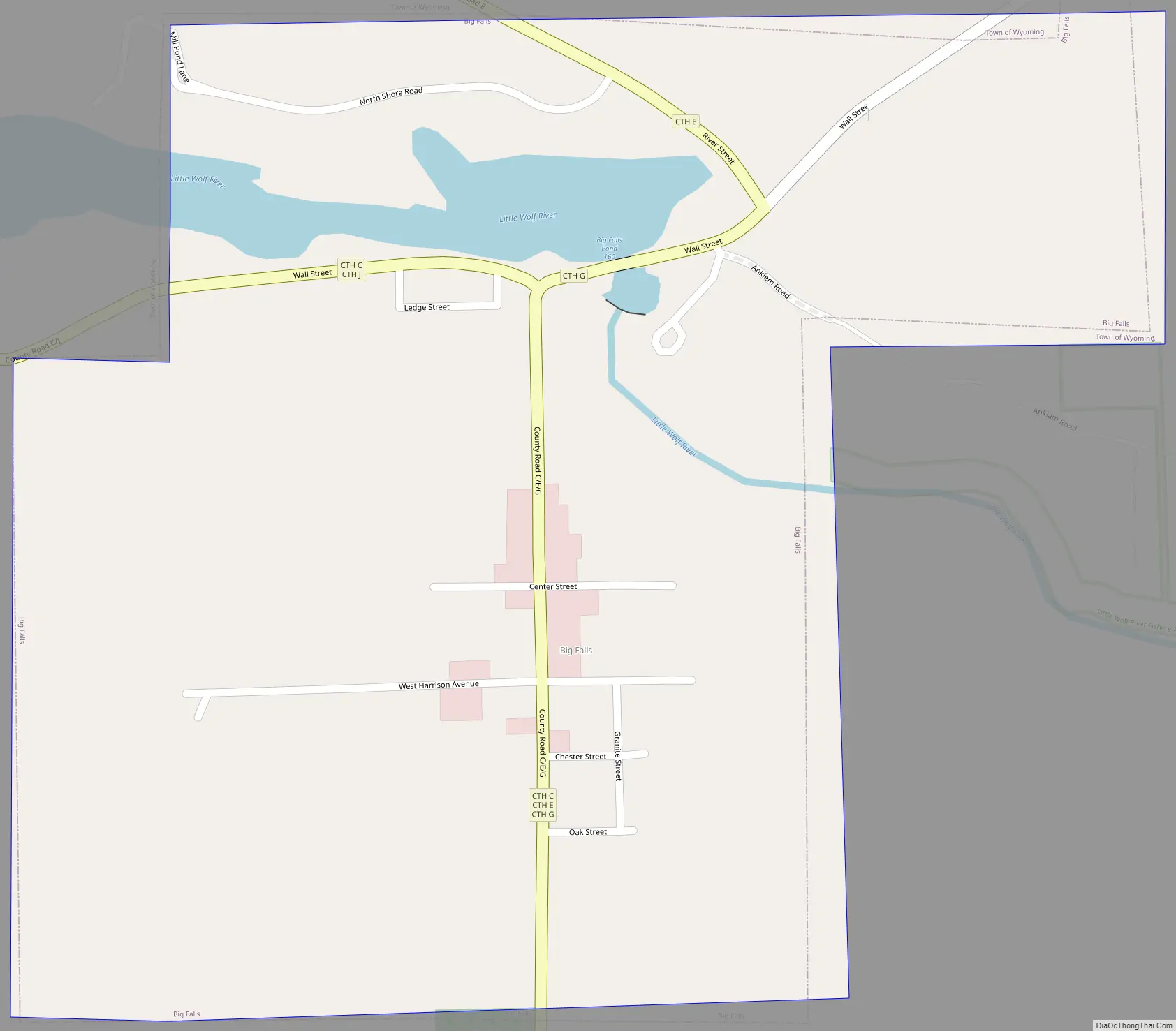
Big Falls Road Map
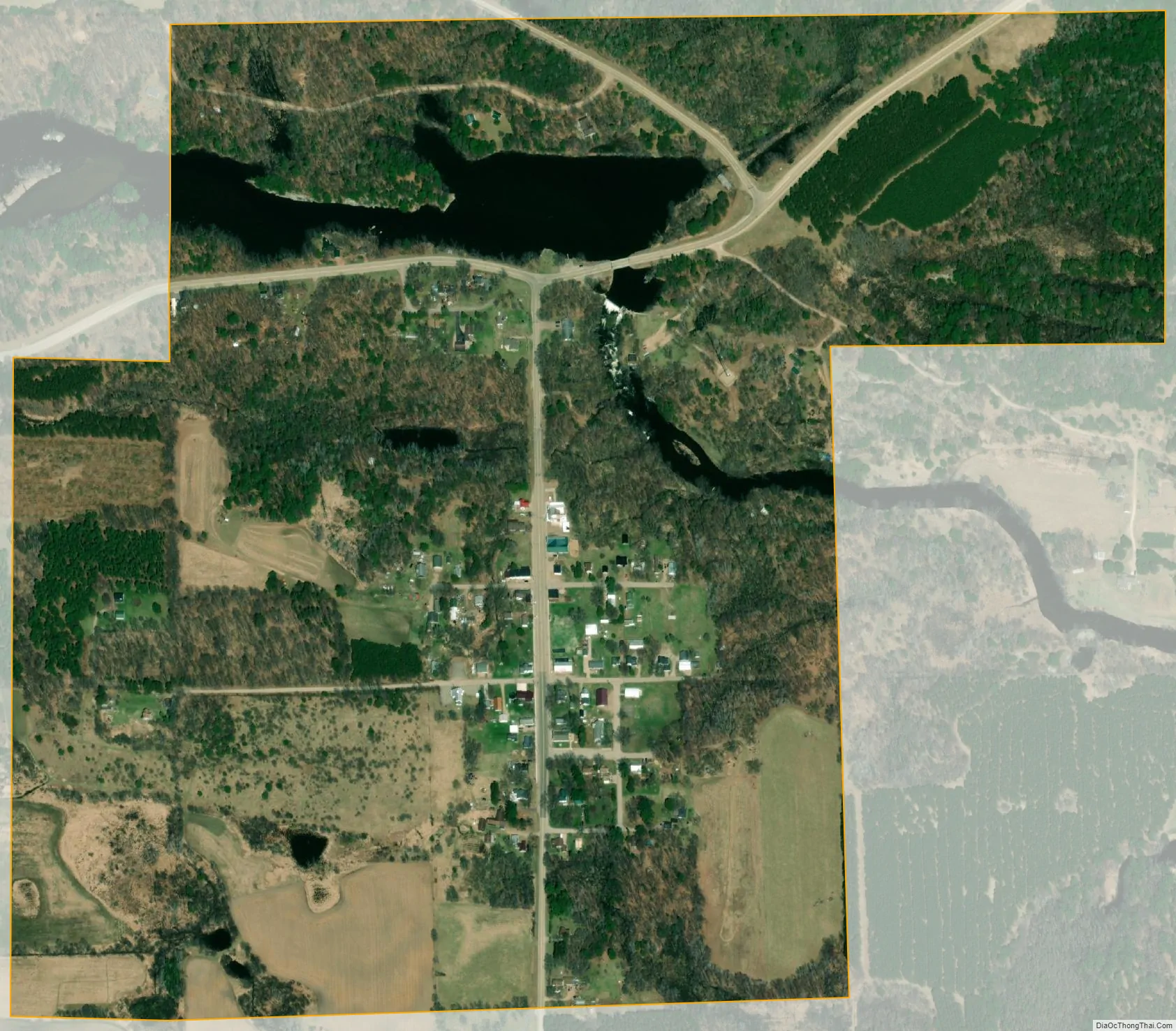
Big Falls city Satellite Map
Geography
Big Falls is located at 44°37′11″N 89°1′5″W / 44.61972°N 89.01806°W / 44.61972; -89.01806 (44.619740, -89.017920).
According to the United States Census Bureau, the village has a total area of 0.51 square miles (1.32 km), of which, 0.48 square miles (1.24 km) of it is land and 0.03 square miles (0.08 km) is water.
See also
Map of Wisconsin State and its subdivision:- Adams
- Ashland
- Barron
- Bayfield
- Brown
- Buffalo
- Burnett
- Calumet
- Chippewa
- Clark
- Columbia
- Crawford
- Dane
- Dodge
- Door
- Douglas
- Dunn
- Eau Claire
- Florence
- Fond du Lac
- Forest
- Grant
- Green
- Green Lake
- Iowa
- Iron
- Jackson
- Jefferson
- Juneau
- Kenosha
- Kewaunee
- La Crosse
- Lafayette
- Lake Michigan
- Lake Superior
- Langlade
- Lincoln
- Manitowoc
- Marathon
- Marinette
- Marquette
- Menominee
- Milwaukee
- Monroe
- Oconto
- Oneida
- Outagamie
- Ozaukee
- Pepin
- Pierce
- Polk
- Portage
- Price
- Racine
- Richland
- Rock
- Rusk
- Saint Croix
- Sauk
- Sawyer
- Shawano
- Sheboygan
- Taylor
- Trempealeau
- Vernon
- Vilas
- Walworth
- Washburn
- Washington
- Waukesha
- Waupaca
- Waushara
- Winnebago
- Wood
- Alabama
- Alaska
- Arizona
- Arkansas
- California
- Colorado
- Connecticut
- Delaware
- District of Columbia
- Florida
- Georgia
- Hawaii
- Idaho
- Illinois
- Indiana
- Iowa
- Kansas
- Kentucky
- Louisiana
- Maine
- Maryland
- Massachusetts
- Michigan
- Minnesota
- Mississippi
- Missouri
- Montana
- Nebraska
- Nevada
- New Hampshire
- New Jersey
- New Mexico
- New York
- North Carolina
- North Dakota
- Ohio
- Oklahoma
- Oregon
- Pennsylvania
- Rhode Island
- South Carolina
- South Dakota
- Tennessee
- Texas
- Utah
- Vermont
- Virginia
- Washington
- West Virginia
- Wisconsin
- Wyoming