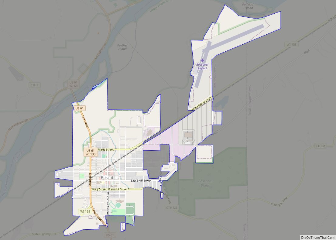
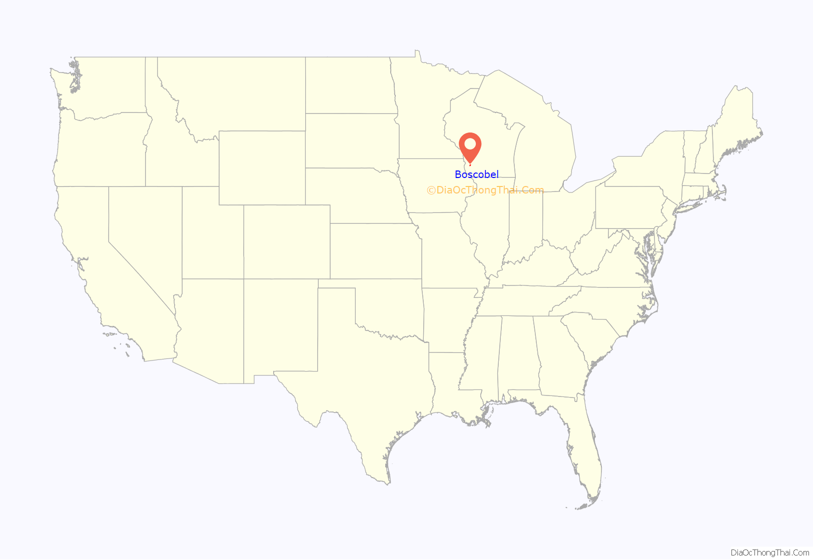
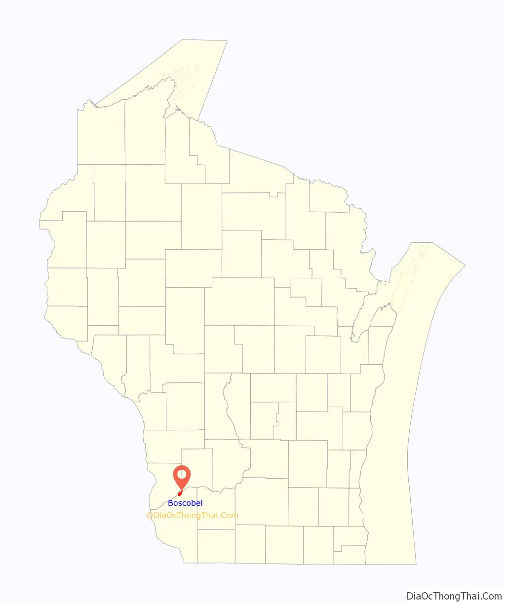
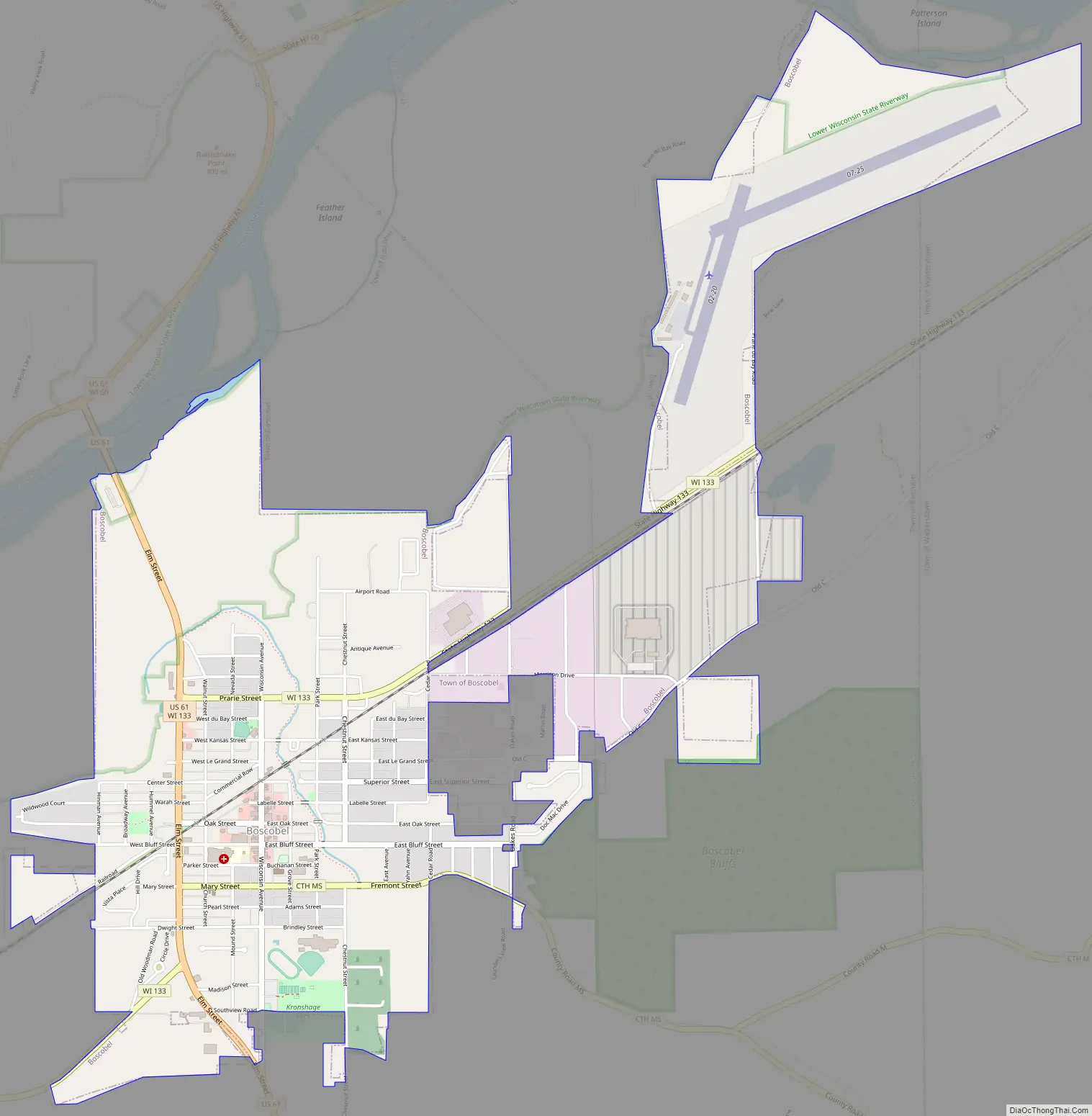
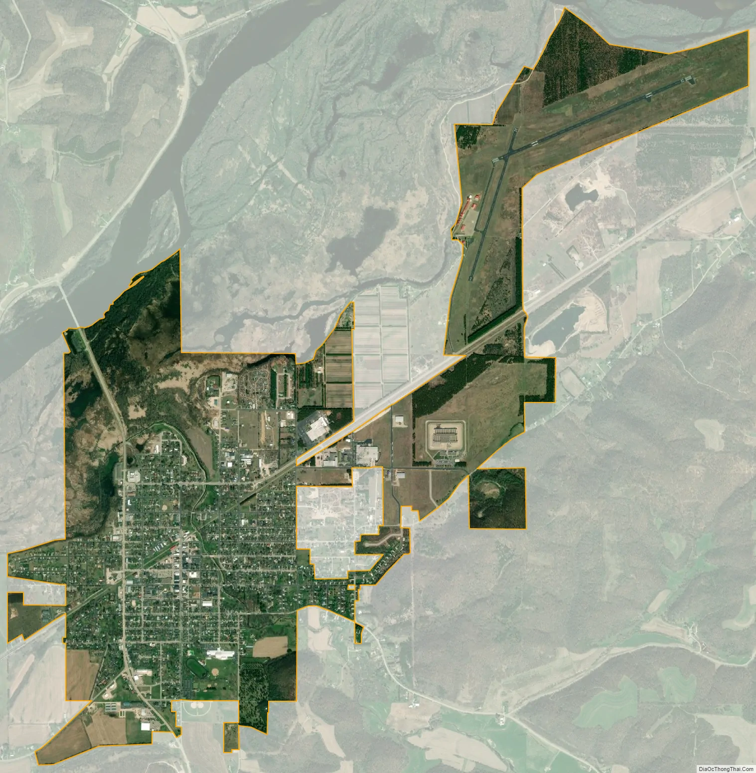
Boscobel is a city in Grant County, Wisconsin, United States. The population was 3,286 at the 2020 census. Approximately 0.6 mi. (1 km) to the north of the city, across a riparian swamp, is the Wisconsin River. U.S. Route 61 crosses the Wisconsin River at Boscobel. To the south, the city is bordered by the Town of Boscobel.
Boscobel was the site of a stop along the now defunct Milwaukee Road, and it is still served by the Wisconsin and Southern Railroad. It is also the site of the Wisconsin Secure Program Facility (WSPF), a Wisconsin Department of Corrections prison for men. Businesses include the historic Central House Hotel, the birthplace of Gideons International.
Boscobel calls itself the “wild turkey hunting capital of Wisconsin”.
On August 7, 2021, the southern edge of Boscobel was hit by what would eventually become the strongest tornado in Wisconsin in more than a decade, reaching EF3 strength just east of the city.
| Name: | Boscobel city |
|---|---|
| LSAD Code: | 25 |
| LSAD Description: | city (suffix) |
| State: | Wisconsin |
| County: | Grant County |
| Total Area: | 3.22 sq mi (8.33 km²) |
| Land Area: | 3.21 sq mi (8.33 km²) |
| Water Area: | 0.00 sq mi (0.01 km²) |
| Total Population: | 3,286 |
| Population Density: | 1,022.1/sq mi (394.6/km²) |
| ZIP code: | 53805 |
| Area code: | 608 |
| FIPS code: | 5508850 |
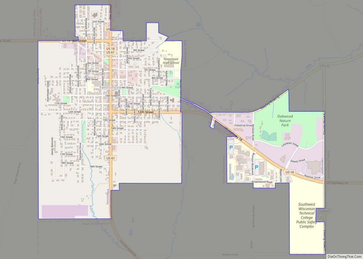
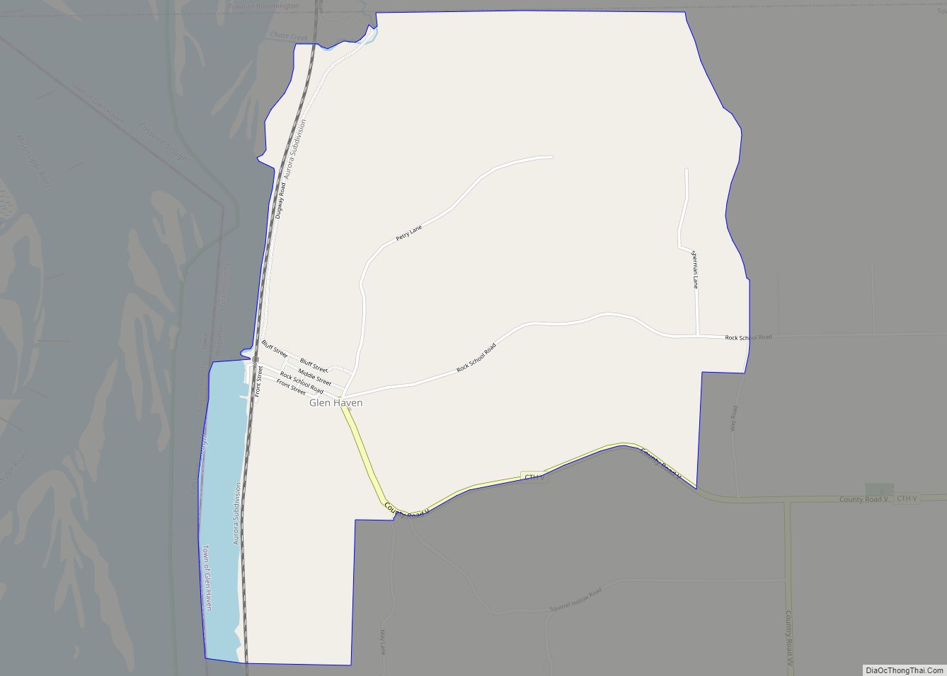
Online Interactive Map
Click on ![]() to view map in "full screen" mode.
to view map in "full screen" mode.
Boscobel location map. Where is Boscobel city?
Boscobel Road Map
Boscobel city Satellite Map
Geography
Boscobel is located at 43°8′11″N 90°42′15″W / 43.13639°N 90.70417°W / 43.13639; -90.70417 (43.136473, -90.70418), in the Driftless Zone.
According to the United States Census Bureau, the city has a total area of approximately 3.22 square miles (8.34 km), of which 3.21 square miles (8.31 km) is land and less than 0.01 square miles (0.03 km) is water.
See also
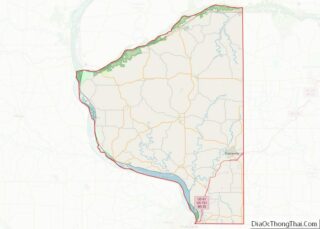
Map of Wisconsin State and its subdivision:- Adams
- Ashland
- Barron
- Bayfield
- Brown
- Buffalo
- Burnett
- Calumet
- Chippewa
- Clark
- Columbia
- Crawford
- Dane
- Dodge
- Door
- Douglas
- Dunn
- Eau Claire
- Florence
- Fond du Lac
- Forest
- Grant
- Green
- Green Lake
- Iowa
- Iron
- Jackson
- Jefferson
- Juneau
- Kenosha
- Kewaunee
- La Crosse
- Lafayette
- Lake Michigan
- Lake Superior
- Langlade
- Lincoln
- Manitowoc
- Marathon
- Marinette
- Marquette
- Menominee
- Milwaukee
- Monroe
- Oconto
- Oneida
- Outagamie
- Ozaukee
- Pepin
- Pierce
- Polk
- Portage
- Price
- Racine
- Richland
- Rock
- Rusk
- Saint Croix
- Sauk
- Sawyer
- Shawano
- Sheboygan
- Taylor
- Trempealeau
- Vernon
- Vilas
- Walworth
- Washburn
- Washington
- Waukesha
- Waupaca
- Waushara
- Winnebago
- Wood
- Alabama
- Alaska
- Arizona
- Arkansas
- California
- Colorado
- Connecticut
- Delaware
- District of Columbia
- Florida
- Georgia
- Hawaii
- Idaho
- Illinois
- Indiana
- Iowa
- Kansas
- Kentucky
- Louisiana
- Maine
- Maryland
- Massachusetts
- Michigan
- Minnesota
- Mississippi
- Missouri
- Montana
- Nebraska
- Nevada
- New Hampshire
- New Jersey
- New Mexico
- New York
- North Carolina
- North Dakota
- Ohio
- Oklahoma
- Oregon
- Pennsylvania
- Rhode Island
- South Carolina
- South Dakota
- Tennessee
- Texas
- Utah
- Vermont
- Virginia
- Washington
- West Virginia
- Wisconsin
- Wyoming