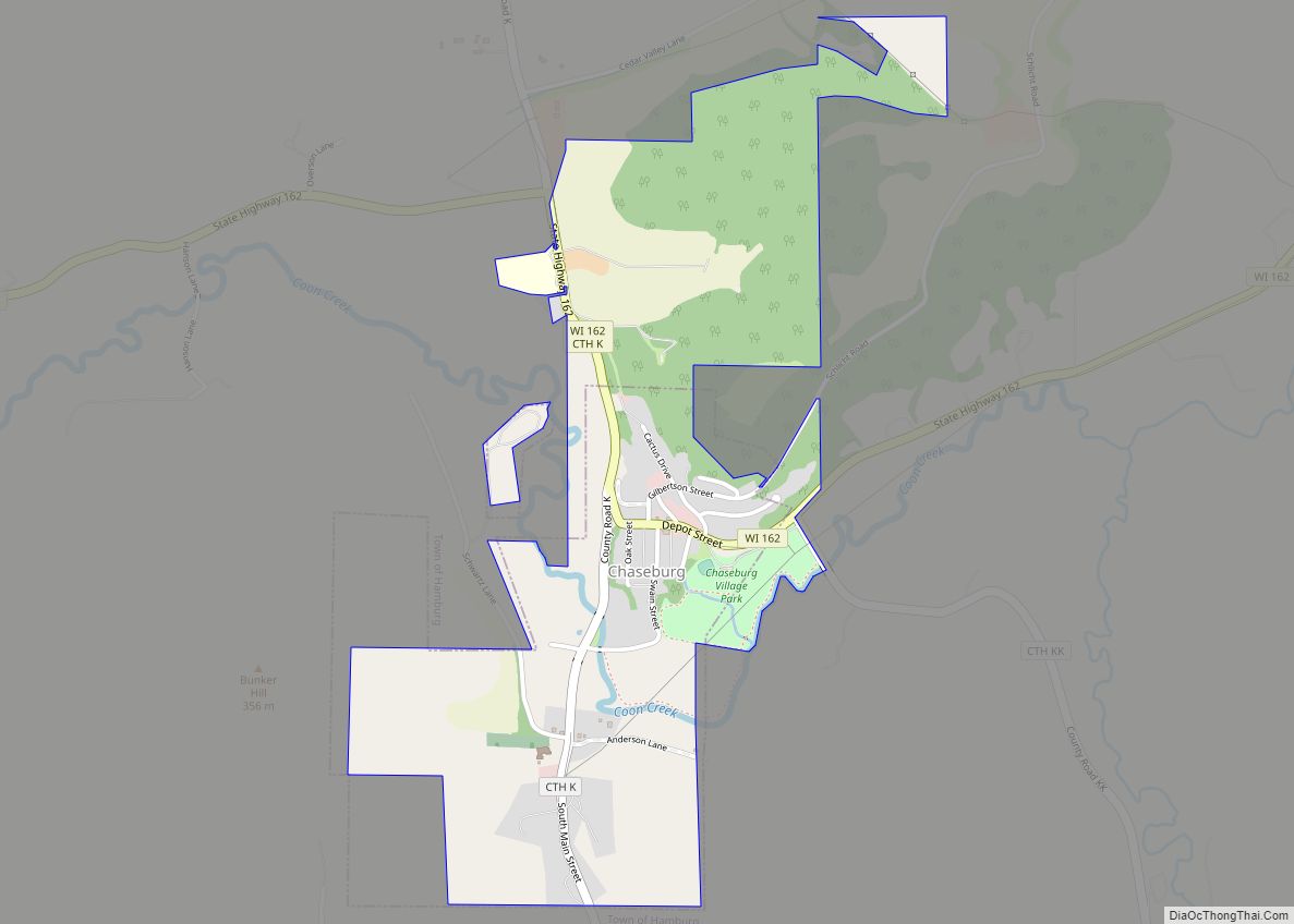
Chaseburg is a village in Vernon County, Wisconsin, United States. The population was 284 at the 2010 census.
| Name: | Chaseburg village |
|---|---|
| LSAD Code: | 47 |
| LSAD Description: | village (suffix) |
| State: | Wisconsin |
| County: | Vernon County |
| Elevation: | 709 ft (216 m) |
| Total Area: | 0.85 sq mi (2.21 km²) |
| Land Area: | 0.84 sq mi (2.18 km²) |
| Water Area: | 0.01 sq mi (0.02 km²) |
| Total Population: | 284 |
| Population Density: | 346.38/sq mi (133.74/km²) |
| Area code: | 608 |
| FIPS code: | 5514150 |
| GNISfeature ID: | 1562965 |
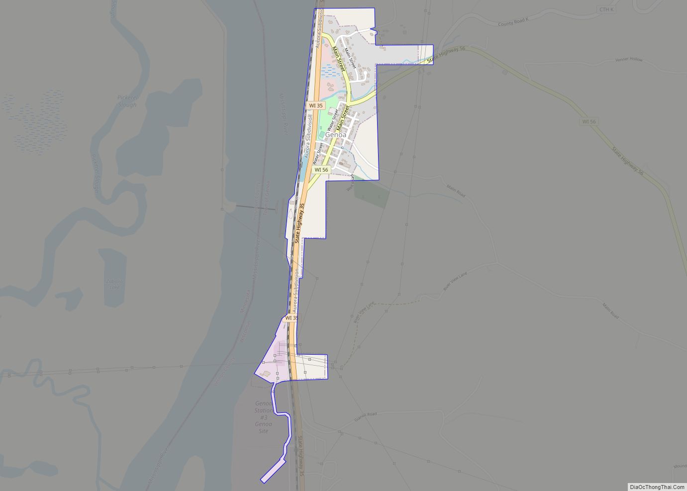
Online Interactive Map
Click on ![]() to view map in "full screen" mode.
to view map in "full screen" mode.
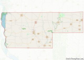
Chaseburg location map. Where is Chaseburg village?
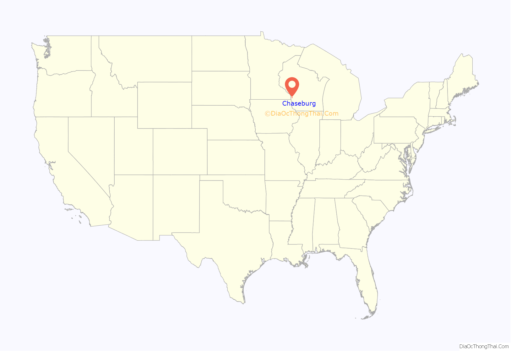
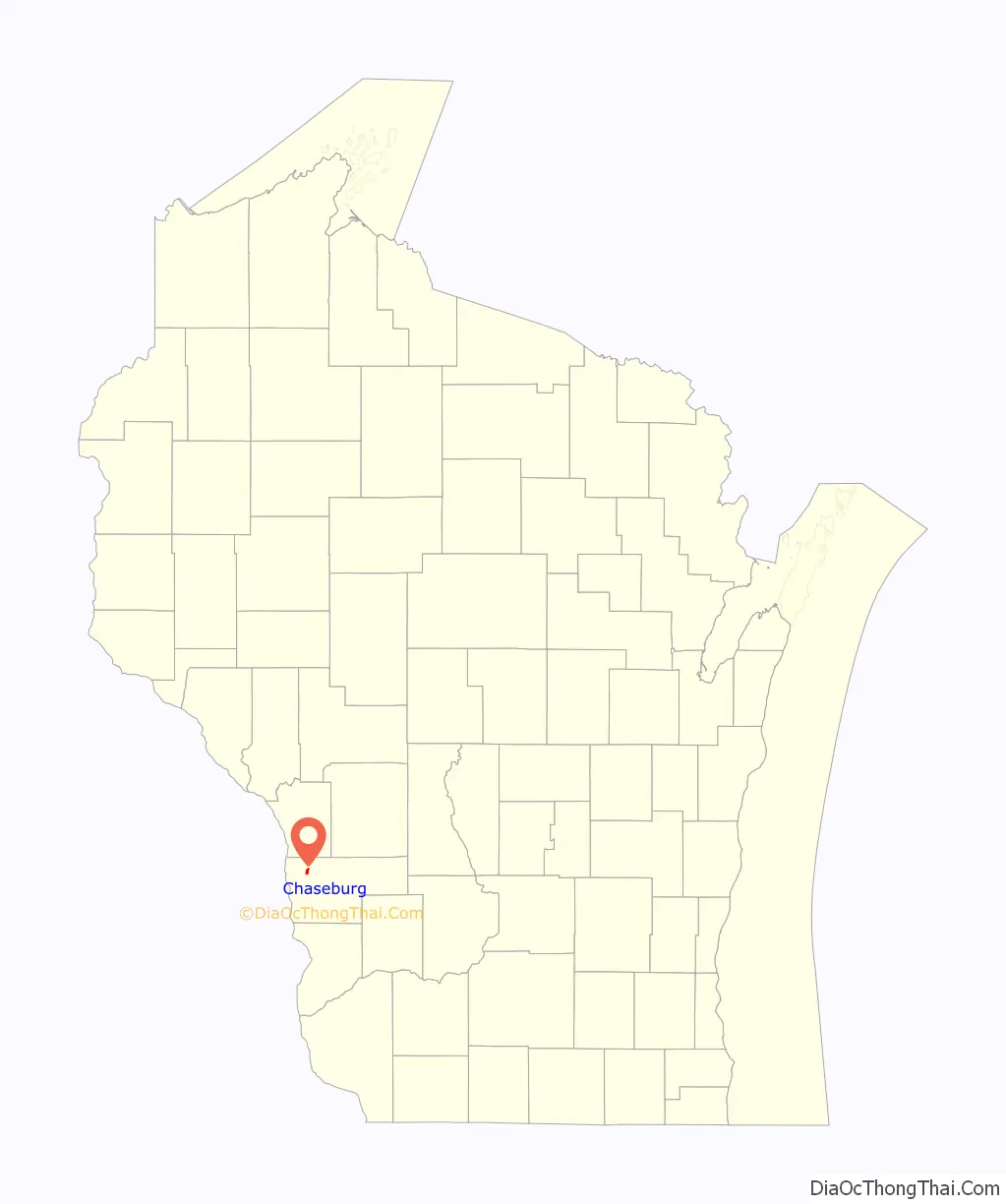
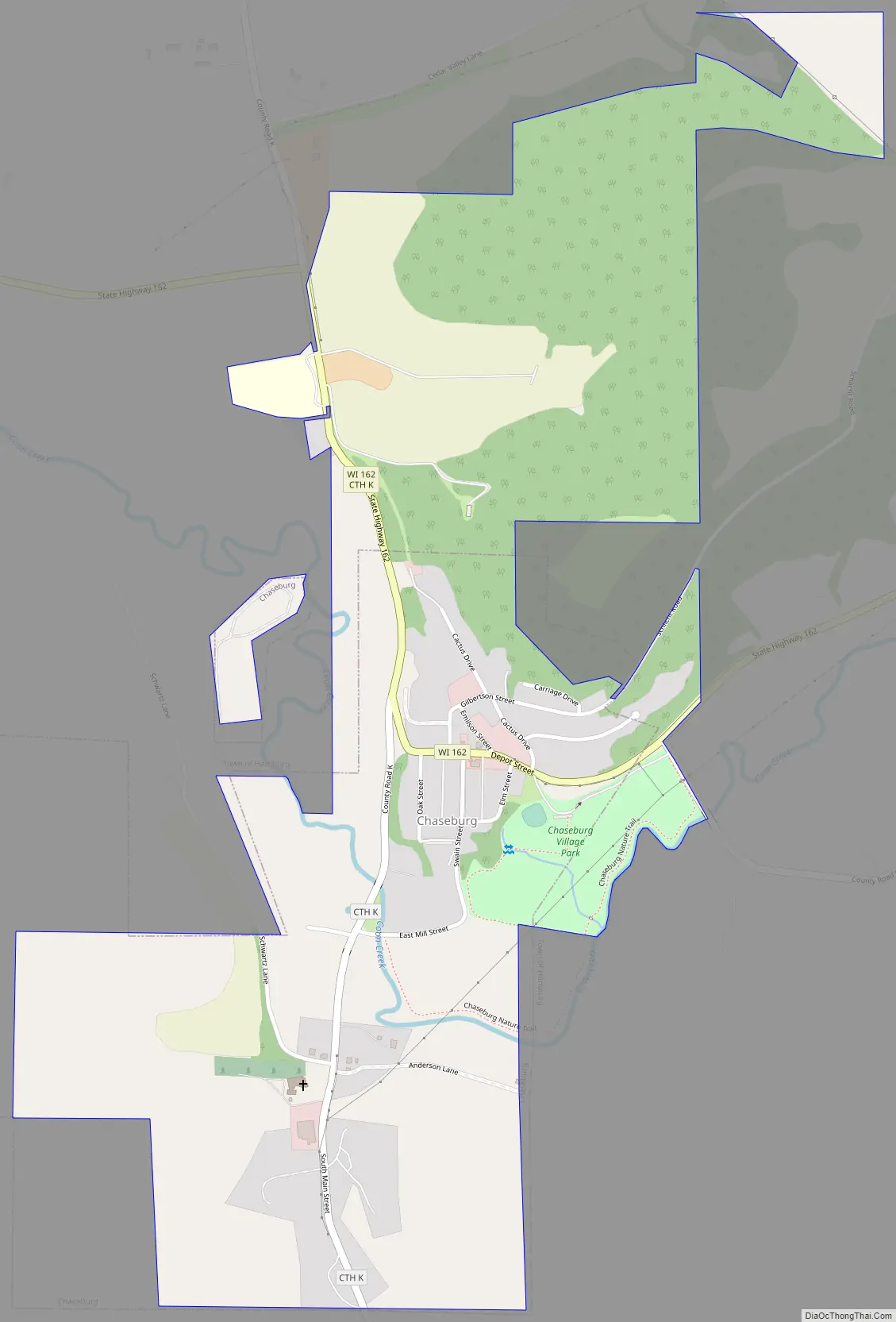
Chaseburg Road Map
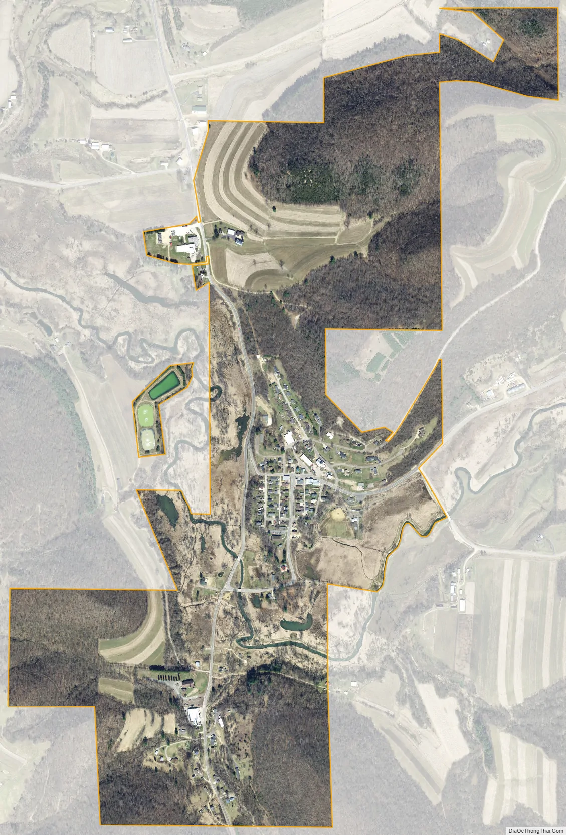
Chaseburg city Satellite Map
Geography
Chaseburg is located at 43°39′21″N 91°5′50″W / 43.65583°N 91.09722°W / 43.65583; -91.09722 (43.655890, -91.097095). According to the United States Census Bureau, the village has a total area of 0.93 square miles (2.41 km), of which, 0.92 square miles (2.38 km) of it is land and 0.01 square miles (0.03 km) is water. Chaseburg is split into two distinct sections, upper and lower. Upper Chaseburg is populated by a residential area, gas station, and a couple bars. Lower Chaseburg consists of a few homes. Lower Chaseburg has a public grounds area with Tuffy Pond and open walkspace. Prior to the flood of 2007 lower Chaseburg was a major area of activity. There was a bank, grocery store, several bars, and more homes.
See also
Map of Wisconsin State and its subdivision:- Adams
- Ashland
- Barron
- Bayfield
- Brown
- Buffalo
- Burnett
- Calumet
- Chippewa
- Clark
- Columbia
- Crawford
- Dane
- Dodge
- Door
- Douglas
- Dunn
- Eau Claire
- Florence
- Fond du Lac
- Forest
- Grant
- Green
- Green Lake
- Iowa
- Iron
- Jackson
- Jefferson
- Juneau
- Kenosha
- Kewaunee
- La Crosse
- Lafayette
- Lake Michigan
- Lake Superior
- Langlade
- Lincoln
- Manitowoc
- Marathon
- Marinette
- Marquette
- Menominee
- Milwaukee
- Monroe
- Oconto
- Oneida
- Outagamie
- Ozaukee
- Pepin
- Pierce
- Polk
- Portage
- Price
- Racine
- Richland
- Rock
- Rusk
- Saint Croix
- Sauk
- Sawyer
- Shawano
- Sheboygan
- Taylor
- Trempealeau
- Vernon
- Vilas
- Walworth
- Washburn
- Washington
- Waukesha
- Waupaca
- Waushara
- Winnebago
- Wood
- Alabama
- Alaska
- Arizona
- Arkansas
- California
- Colorado
- Connecticut
- Delaware
- District of Columbia
- Florida
- Georgia
- Hawaii
- Idaho
- Illinois
- Indiana
- Iowa
- Kansas
- Kentucky
- Louisiana
- Maine
- Maryland
- Massachusetts
- Michigan
- Minnesota
- Mississippi
- Missouri
- Montana
- Nebraska
- Nevada
- New Hampshire
- New Jersey
- New Mexico
- New York
- North Carolina
- North Dakota
- Ohio
- Oklahoma
- Oregon
- Pennsylvania
- Rhode Island
- South Carolina
- South Dakota
- Tennessee
- Texas
- Utah
- Vermont
- Virginia
- Washington
- West Virginia
- Wisconsin
- Wyoming