Cuba City is a city partly in Grant County and partly in Lafayette County in the U.S. state of Wisconsin. The population was 2,086 at the 2010 census. Of this, 1,877 were in Grant County, and 209 were in Lafayette County. The city is nicknamed “The City of Presidents” because of the presidential banners displayed along the city’s Main Street.
| Name: | Cuba City city |
|---|---|
| LSAD Code: | 25 |
| LSAD Description: | city (suffix) |
| State: | Wisconsin |
| County: | Grant County, Lafayette County |
| Elevation: | 1,010 ft (308 m) |
| Total Area: | 1.16 sq mi (3.00 km²) |
| Land Area: | 1.16 sq mi (3.00 km²) |
| Water Area: | 0.00 sq mi (0.00 km²) |
| Total Population: | 2,086 |
| Population Density: | 1,749.14/sq mi (675.33/km²) |
| Area code: | 608 |
| FIPS code: | 5517950 |
| GNISfeature ID: | 1563606 |
| Website: | cubacity.org |
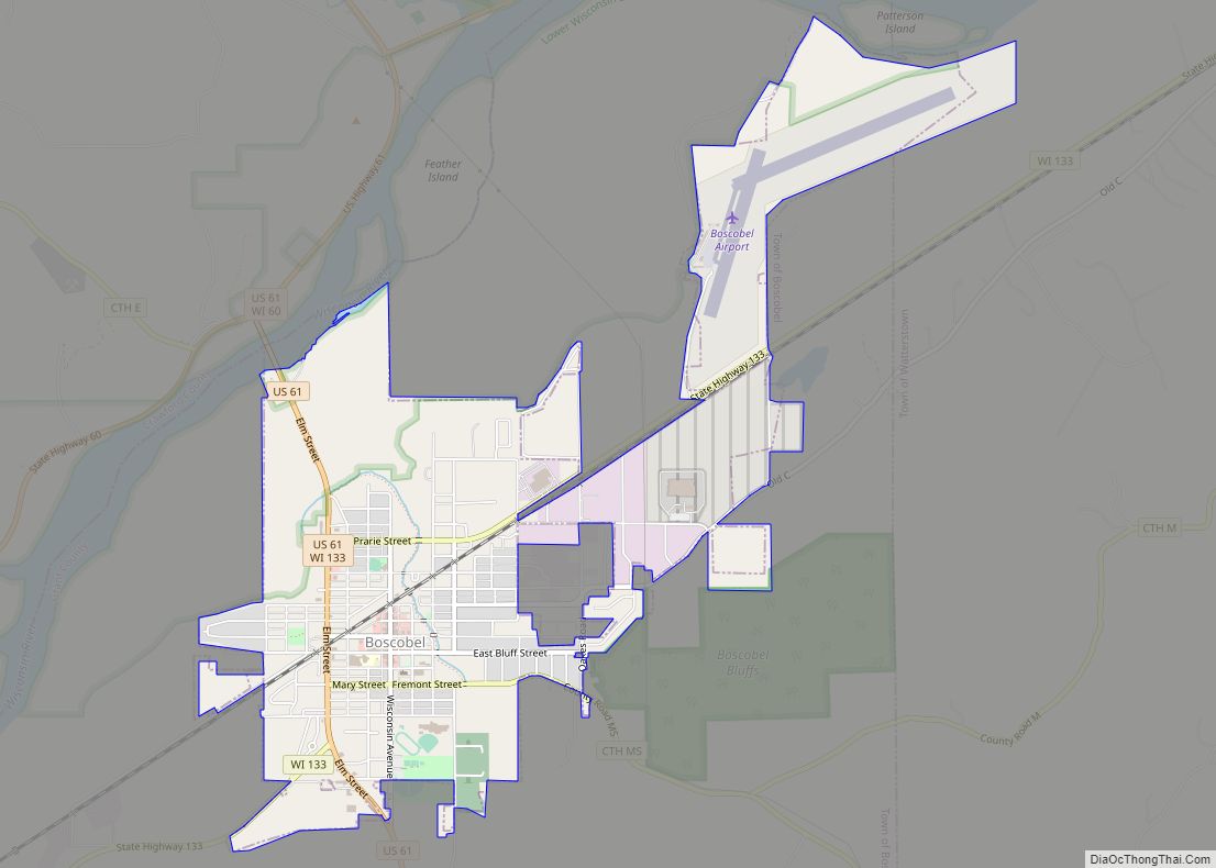
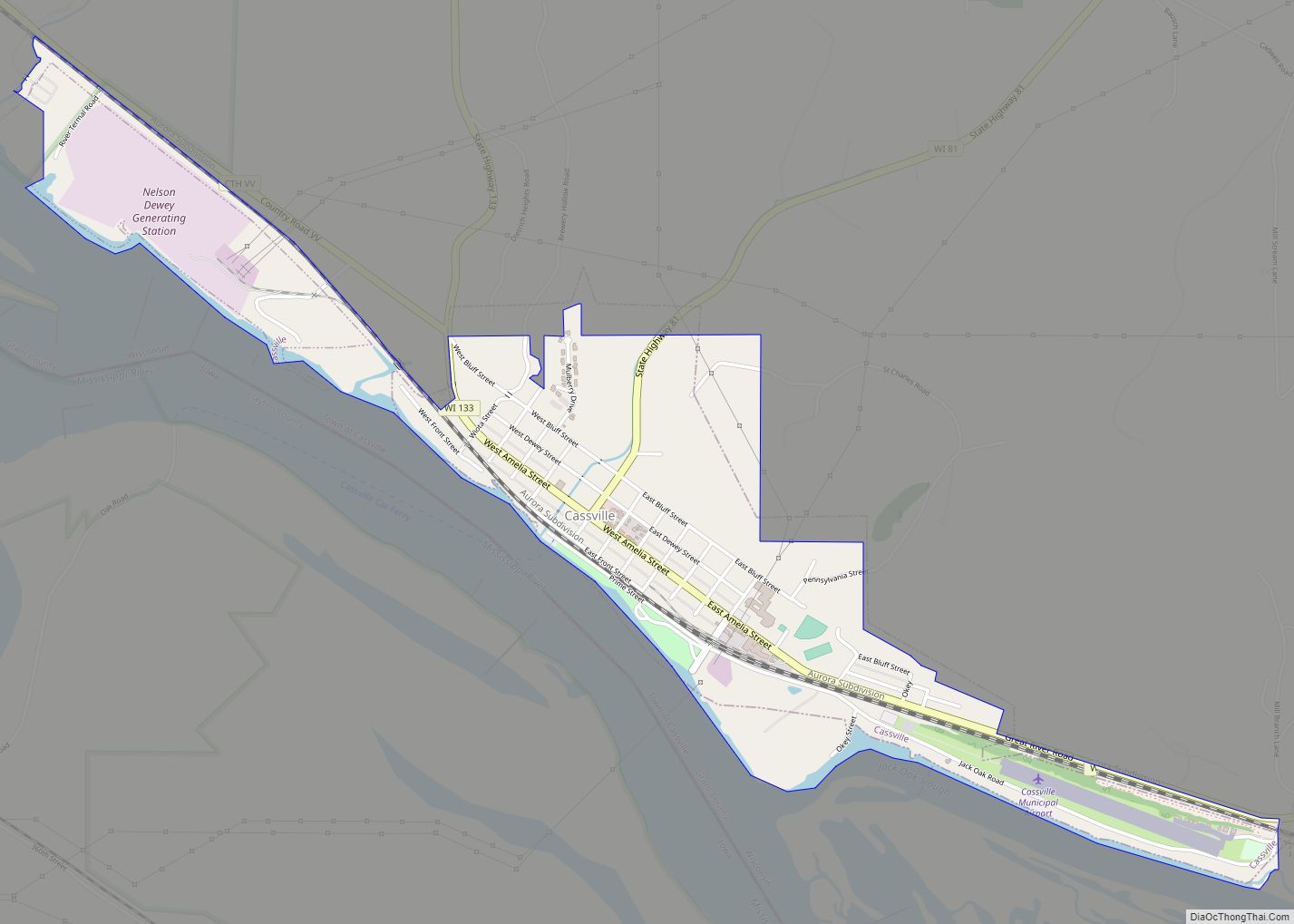
Online Interactive Map
Click on ![]() to view map in "full screen" mode.
to view map in "full screen" mode.
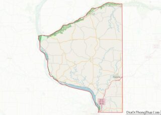
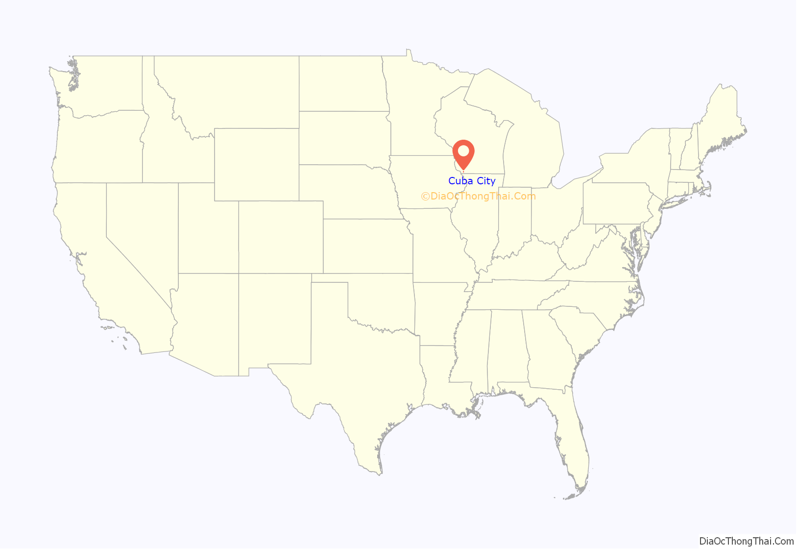
Cuba City location map. Where is Cuba City city?
History
The history of the city began in 1836, when John Amie Merle and Mathais Comstock purchased 160 acres of land from the American Government in Grant County. The first structure in the community was erected in 1846 by Jack Deboard. Deboard is considered the first settler in Cuba City.
The name “Yuba City” was finally picked after a dispute about the name of the new village, but after discovering another location had already been given that name, a new name, “Cuba City,” was selected.
The community incorporated as a village in Grant County only in 1894. The village incorporated as a city in 1925 and annexed into Lafayette County between 1960 and 1970.
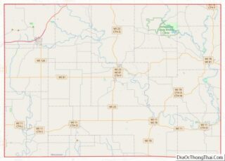
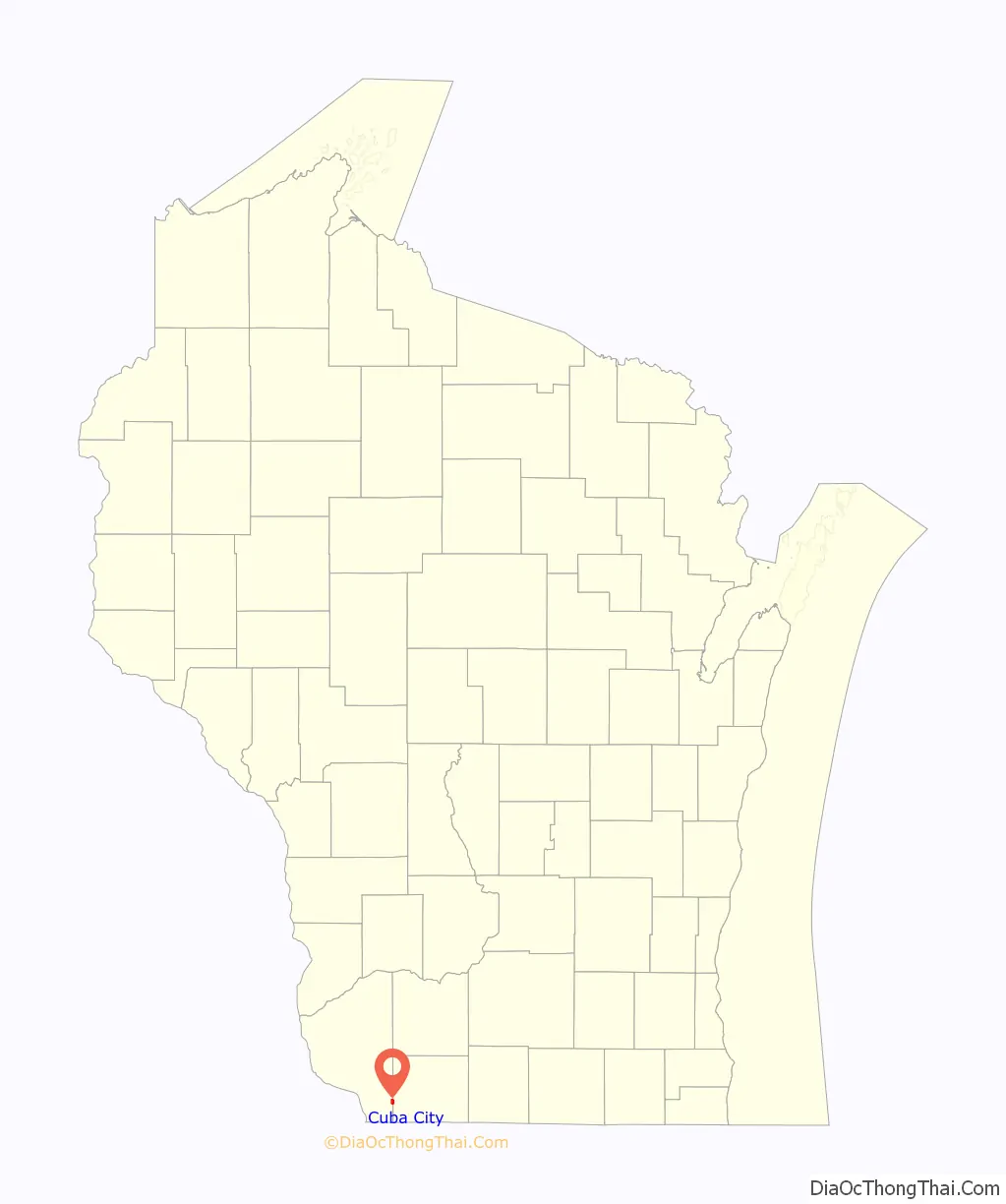
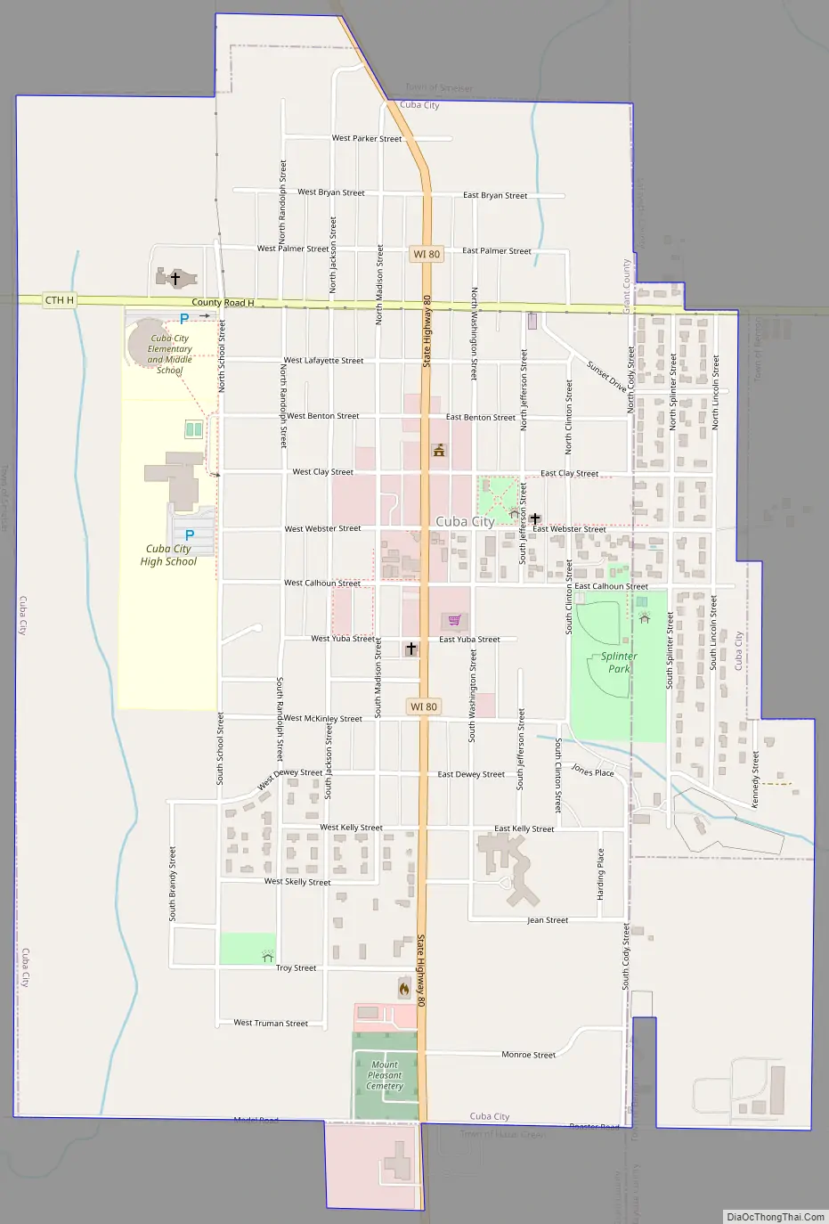
Cuba City Road Map
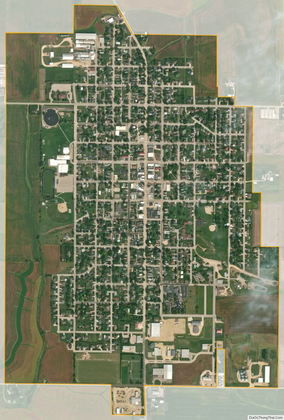
Cuba City city Satellite Map
Geography
Cuba City is located at 42°36′21″N 90°25′49″W / 42.60583°N 90.43028°W / 42.60583; -90.43028 (42.605874, -90.430274).
According to the United States Census Bureau, the city has a total area of 1.08 square miles (2.80 km), all of it land. Most of the city lies in Grant County, with only a small portion in Lafayette County.
The community is located on State Highway 80.
See also
Map of Wisconsin State and its subdivision:- Adams
- Ashland
- Barron
- Bayfield
- Brown
- Buffalo
- Burnett
- Calumet
- Chippewa
- Clark
- Columbia
- Crawford
- Dane
- Dodge
- Door
- Douglas
- Dunn
- Eau Claire
- Florence
- Fond du Lac
- Forest
- Grant
- Green
- Green Lake
- Iowa
- Iron
- Jackson
- Jefferson
- Juneau
- Kenosha
- Kewaunee
- La Crosse
- Lafayette
- Lake Michigan
- Lake Superior
- Langlade
- Lincoln
- Manitowoc
- Marathon
- Marinette
- Marquette
- Menominee
- Milwaukee
- Monroe
- Oconto
- Oneida
- Outagamie
- Ozaukee
- Pepin
- Pierce
- Polk
- Portage
- Price
- Racine
- Richland
- Rock
- Rusk
- Saint Croix
- Sauk
- Sawyer
- Shawano
- Sheboygan
- Taylor
- Trempealeau
- Vernon
- Vilas
- Walworth
- Washburn
- Washington
- Waukesha
- Waupaca
- Waushara
- Winnebago
- Wood
- Alabama
- Alaska
- Arizona
- Arkansas
- California
- Colorado
- Connecticut
- Delaware
- District of Columbia
- Florida
- Georgia
- Hawaii
- Idaho
- Illinois
- Indiana
- Iowa
- Kansas
- Kentucky
- Louisiana
- Maine
- Maryland
- Massachusetts
- Michigan
- Minnesota
- Mississippi
- Missouri
- Montana
- Nebraska
- Nevada
- New Hampshire
- New Jersey
- New Mexico
- New York
- North Carolina
- North Dakota
- Ohio
- Oklahoma
- Oregon
- Pennsylvania
- Rhode Island
- South Carolina
- South Dakota
- Tennessee
- Texas
- Utah
- Vermont
- Virginia
- Washington
- West Virginia
- Wisconsin
- Wyoming