Fremont is a village in Waupaca County, Wisconsin, United States. It is surrounded by Town of Fremont. The population was 679 at the 2010 census. Fremont has been referred to as the “White Bass Capital of the World.”
| Name: | Fremont village |
|---|---|
| LSAD Code: | 47 |
| LSAD Description: | village (suffix) |
| State: | Wisconsin |
| County: | Waupaca County |
| Total Area: | 1.17 sq mi (3.02 km²) |
| Land Area: | 1.03 sq mi (2.68 km²) |
| Water Area: | 0.13 sq mi (0.34 km²) |
| Total Population: | 679 |
| Population Density: | 629.59/sq mi (243.11/km²) |
| Area code: | 920 |
| FIPS code: | 5527800 |
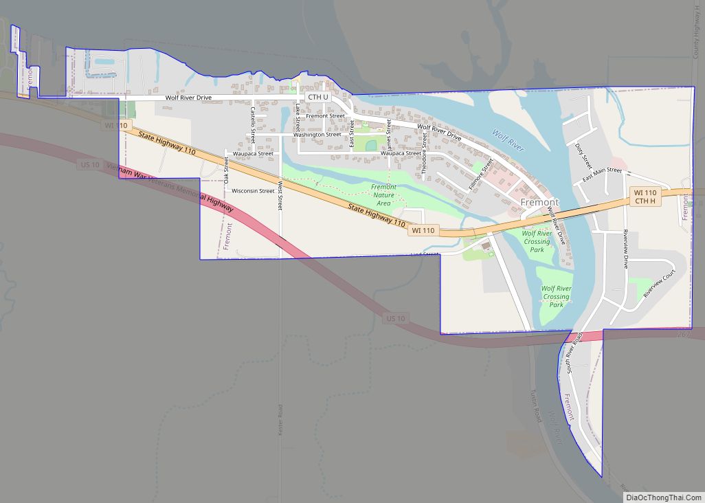
Online Interactive Map
Click on ![]() to view map in "full screen" mode.
to view map in "full screen" mode.
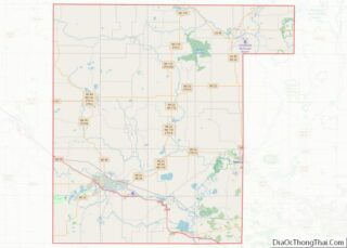
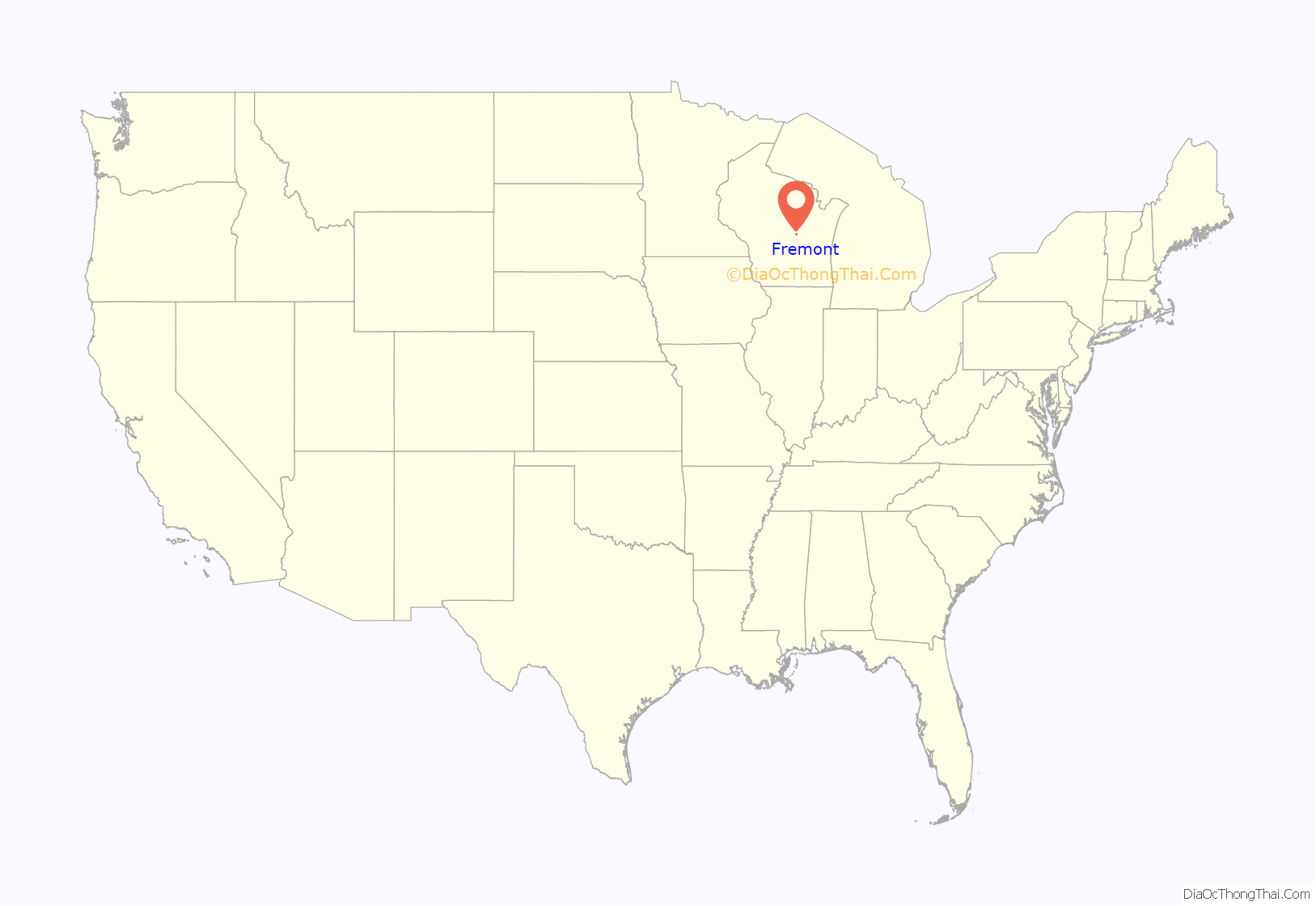
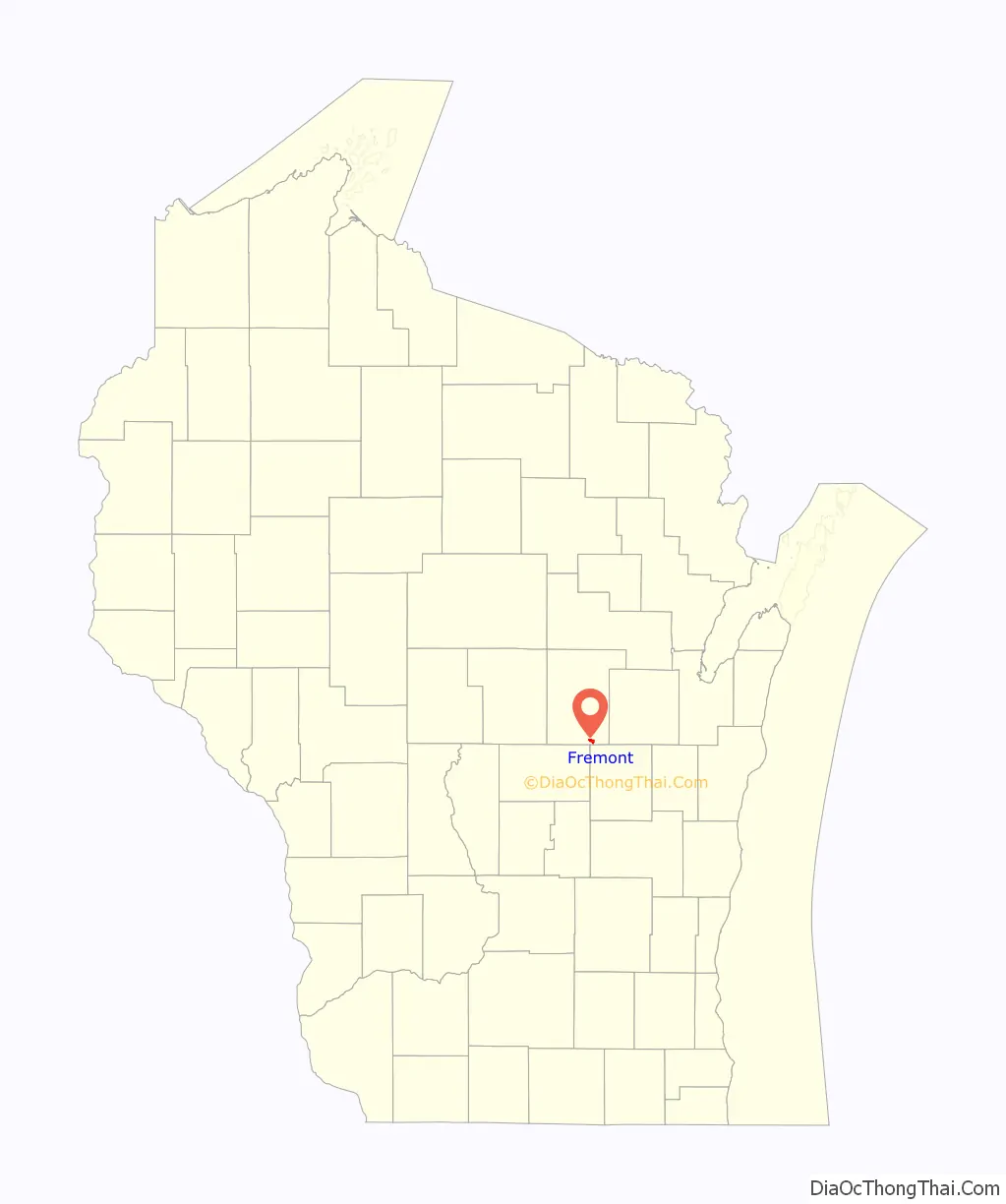
Fremont location map. Where is Fremont village?
History
This area is of the traditional home of the Menominee and Potawatomi peoples. In the Menominee language it is known as Penāēwīkoh, “partridge place”. It was ceded by the Menominee to the United States in the 1836 Treaty of the Cedars, following years of negotiations between the Menominee, Ho-Chunk, and United States over how to accommodate the Oneida, Stockbridge-Munsee, and Brothertown peoples who were being removed from New York to Wisconsin. The Potawatomi had been forced to cede all of their lands in Wisconsin in 1833 due to poverty and in spite of their support of the United States in the Black Hawk War.
Now that the United States owned the land, white American settlement could begin in Penāēwīkoh. The Town of Fremont was first settled in the spring of 1849 by D. Gordon. The first paper published was the Fremont Pioneer in 1857. The first church (Presbyterian) was built in 1873. The village of Fremont was organized in 1888.
The story of the “Death of Wau-Ke-John”, a war chief of the Menominee, takes place in the summer of 1852 as reported by W. A. Springer “who was in the neighborhood … and was present at the funeral”.
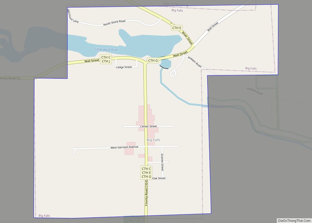
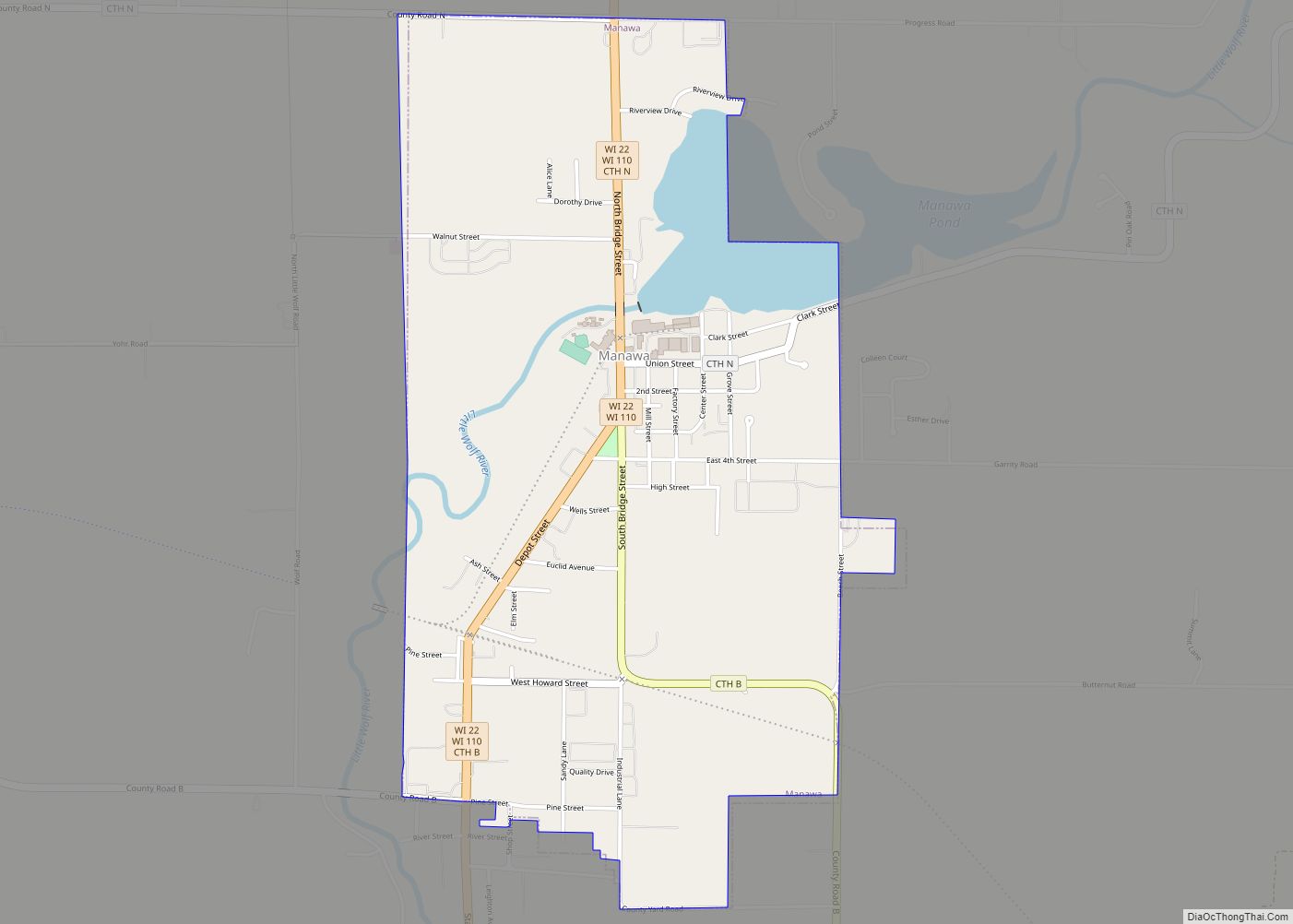
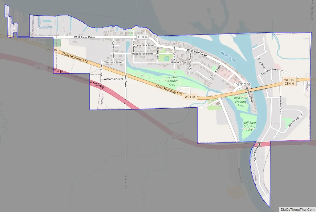
Fremont Road Map
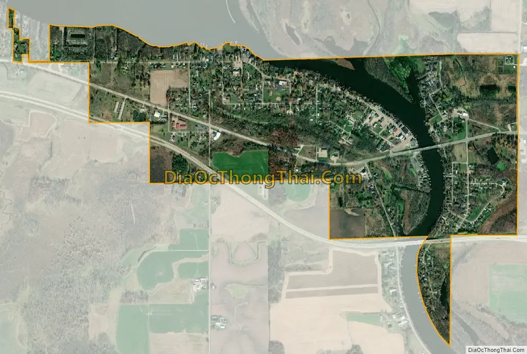
Fremont city Satellite Map
Geography
Fremont is located at 44°15′43″N 88°52′12″W / 44.26194°N 88.87000°W / 44.26194; -88.87000 (44.261991, -88.870059).
According to the United States Census Bureau, the village has a total area of 1.20 square miles (3.11 km), of which, 1.03 square miles (2.67 km) of it is land and 0.17 square miles (0.44 km) is water.
Wolf River
The Wolf River flows through the middle of the village, with Partridge Lake just upriver. A spawning run of white bass, or sand bass (Morone chrysops), not to be confused with its larger cousin the “striped bass,” occurs twice a year – in May around Mother’s Day and in late September to early October. Lake sturgeon from Lake Winnebago travel upriver to the Fremont area in spring to spawn. Fremont is known as “the white bass capital of the world”.
See also
Map of Wisconsin State and its subdivision:- Adams
- Ashland
- Barron
- Bayfield
- Brown
- Buffalo
- Burnett
- Calumet
- Chippewa
- Clark
- Columbia
- Crawford
- Dane
- Dodge
- Door
- Douglas
- Dunn
- Eau Claire
- Florence
- Fond du Lac
- Forest
- Grant
- Green
- Green Lake
- Iowa
- Iron
- Jackson
- Jefferson
- Juneau
- Kenosha
- Kewaunee
- La Crosse
- Lafayette
- Lake Michigan
- Lake Superior
- Langlade
- Lincoln
- Manitowoc
- Marathon
- Marinette
- Marquette
- Menominee
- Milwaukee
- Monroe
- Oconto
- Oneida
- Outagamie
- Ozaukee
- Pepin
- Pierce
- Polk
- Portage
- Price
- Racine
- Richland
- Rock
- Rusk
- Saint Croix
- Sauk
- Sawyer
- Shawano
- Sheboygan
- Taylor
- Trempealeau
- Vernon
- Vilas
- Walworth
- Washburn
- Washington
- Waukesha
- Waupaca
- Waushara
- Winnebago
- Wood
- Alabama
- Alaska
- Arizona
- Arkansas
- California
- Colorado
- Connecticut
- Delaware
- District of Columbia
- Florida
- Georgia
- Hawaii
- Idaho
- Illinois
- Indiana
- Iowa
- Kansas
- Kentucky
- Louisiana
- Maine
- Maryland
- Massachusetts
- Michigan
- Minnesota
- Mississippi
- Missouri
- Montana
- Nebraska
- Nevada
- New Hampshire
- New Jersey
- New Mexico
- New York
- North Carolina
- North Dakota
- Ohio
- Oklahoma
- Oregon
- Pennsylvania
- Rhode Island
- South Carolina
- South Dakota
- Tennessee
- Texas
- Utah
- Vermont
- Virginia
- Washington
- West Virginia
- Wisconsin
- Wyoming