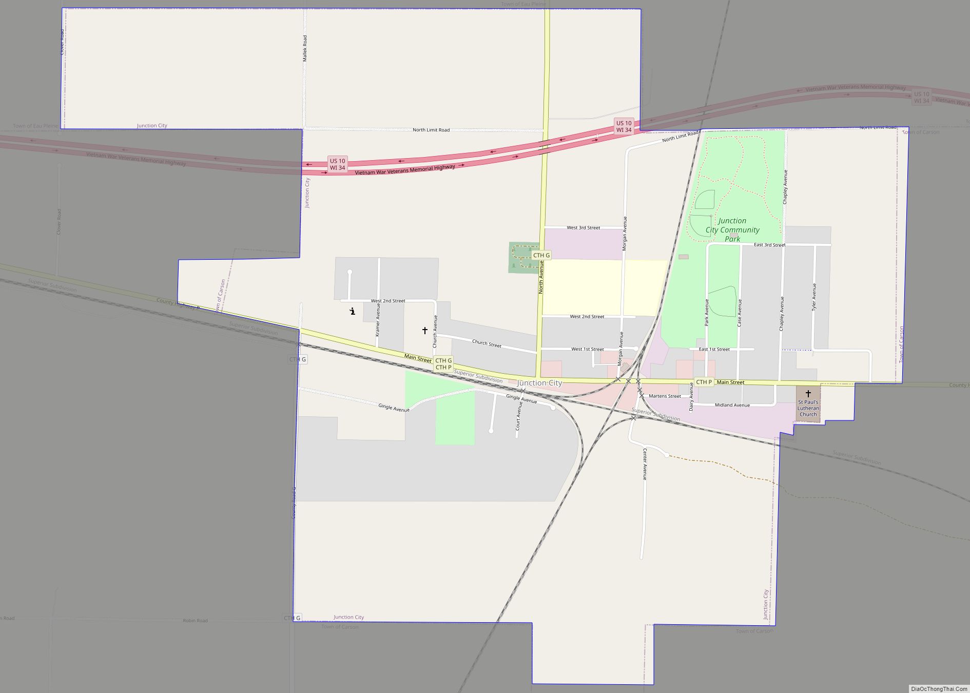
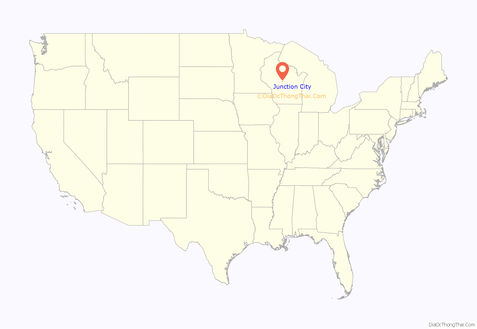
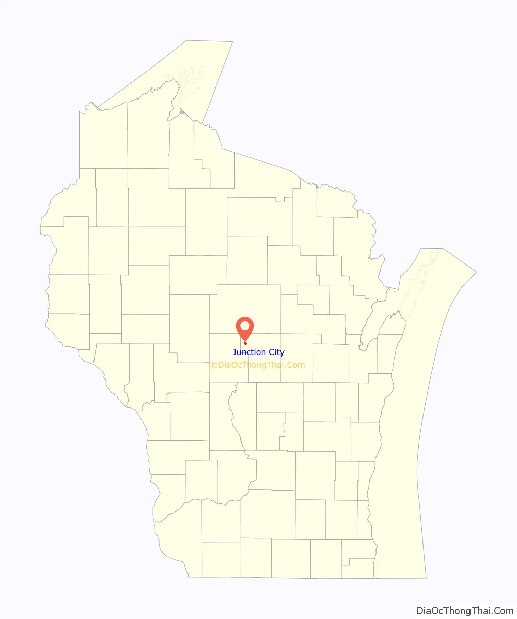
Junction City is a village in Portage County, Wisconsin, United States. The population was 439 at the 2010 census.
| Name: | Junction City village |
|---|---|
| LSAD Code: | 47 |
| LSAD Description: | village (suffix) |
| State: | Wisconsin |
| County: | Portage County |
| Elevation: | 1,145 ft (349 m) |
| Total Area: | 1.52 sq mi (3.92 km²) |
| Land Area: | 1.51 sq mi (3.90 km²) |
| Water Area: | 0.01 sq mi (0.02 km²) |
| Total Population: | 439 |
| Population Density: | 291.11/sq mi (112.43/km²) |
| Area code: | 715 & 534 |
| FIPS code: | 5538650 |
| GNISfeature ID: | 1567317 |
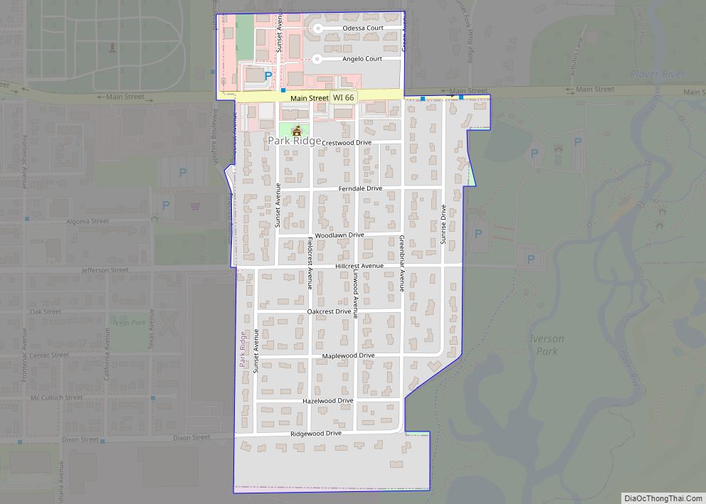
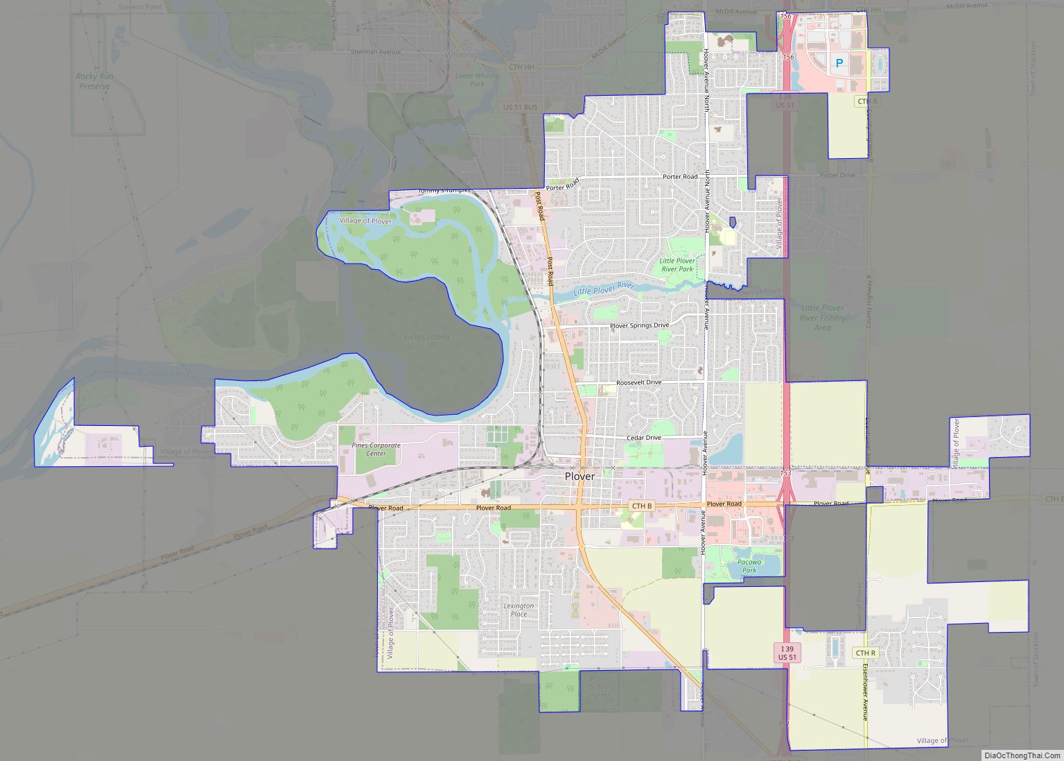
Online Interactive Map
Click on ![]() to view map in "full screen" mode.
to view map in "full screen" mode.
Junction City location map. Where is Junction City village?
History
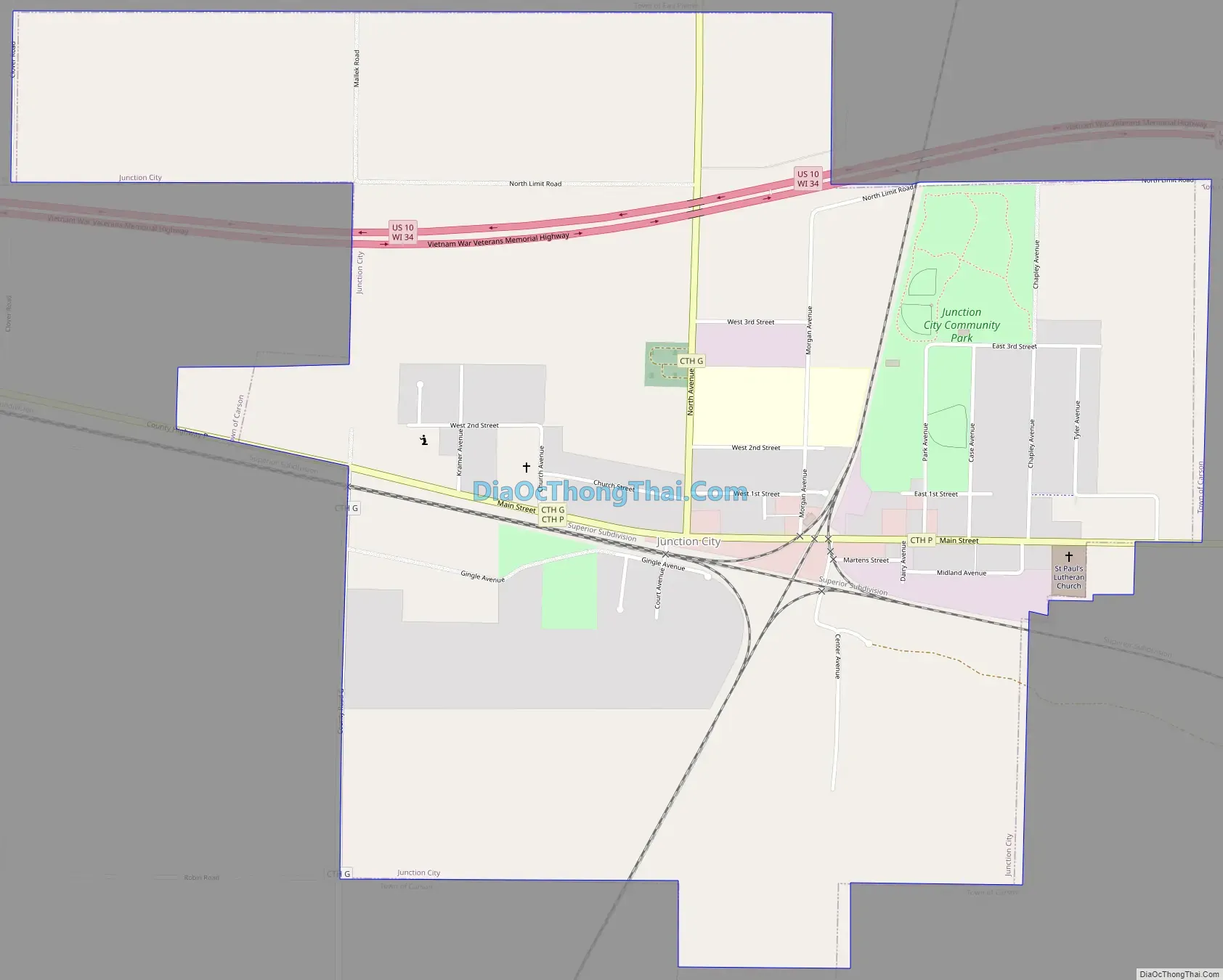
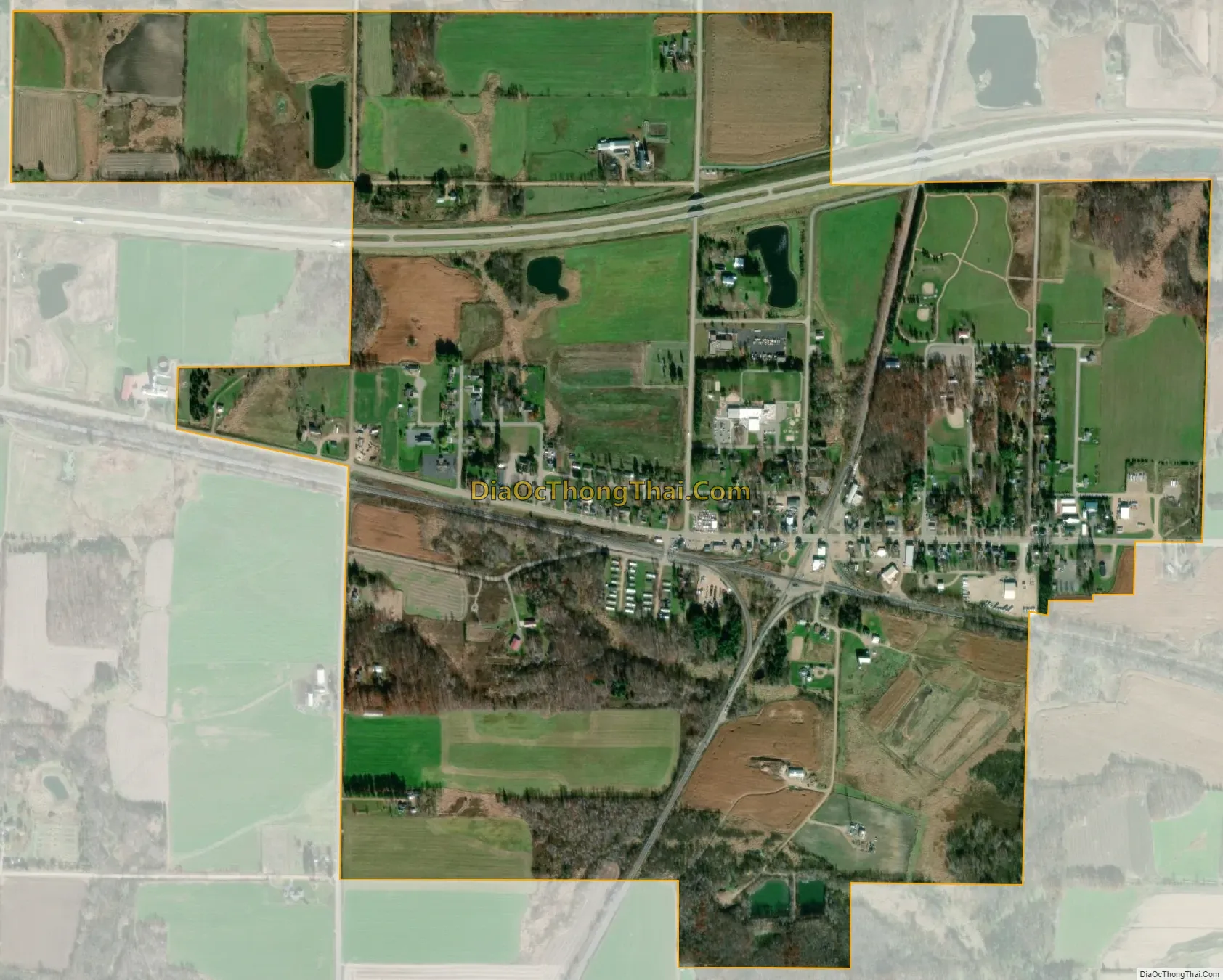
The village grew up around the meeting point of two important railroad lines: the East-West route of the former Soo Line Railroad from Stevens Point to Marshfield, and the North-South route of the former Milwaukee Road from Wisconsin Rapids to Wausau. Both rail lines are now part of Canadian National Railway.
Junction City Road Map
Junction City city Satellite Map
Geography
Junction City is located at 44°35′29″N 89°45′52″W / 44.59139°N 89.76444°W / 44.59139; -89.76444 (44.591291, -89.764435).
According to the United States Census Bureau, the village has a total area of 1.57 square miles (4.07 km), of which, 1.56 square miles (4.04 km) of it is land and 0.01 square miles (0.03 km) is water.
See also
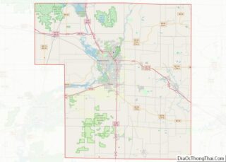
Map of Wisconsin State and its subdivision:- Adams
- Ashland
- Barron
- Bayfield
- Brown
- Buffalo
- Burnett
- Calumet
- Chippewa
- Clark
- Columbia
- Crawford
- Dane
- Dodge
- Door
- Douglas
- Dunn
- Eau Claire
- Florence
- Fond du Lac
- Forest
- Grant
- Green
- Green Lake
- Iowa
- Iron
- Jackson
- Jefferson
- Juneau
- Kenosha
- Kewaunee
- La Crosse
- Lafayette
- Lake Michigan
- Lake Superior
- Langlade
- Lincoln
- Manitowoc
- Marathon
- Marinette
- Marquette
- Menominee
- Milwaukee
- Monroe
- Oconto
- Oneida
- Outagamie
- Ozaukee
- Pepin
- Pierce
- Polk
- Portage
- Price
- Racine
- Richland
- Rock
- Rusk
- Saint Croix
- Sauk
- Sawyer
- Shawano
- Sheboygan
- Taylor
- Trempealeau
- Vernon
- Vilas
- Walworth
- Washburn
- Washington
- Waukesha
- Waupaca
- Waushara
- Winnebago
- Wood
- Alabama
- Alaska
- Arizona
- Arkansas
- California
- Colorado
- Connecticut
- Delaware
- District of Columbia
- Florida
- Georgia
- Hawaii
- Idaho
- Illinois
- Indiana
- Iowa
- Kansas
- Kentucky
- Louisiana
- Maine
- Maryland
- Massachusetts
- Michigan
- Minnesota
- Mississippi
- Missouri
- Montana
- Nebraska
- Nevada
- New Hampshire
- New Jersey
- New Mexico
- New York
- North Carolina
- North Dakota
- Ohio
- Oklahoma
- Oregon
- Pennsylvania
- Rhode Island
- South Carolina
- South Dakota
- Tennessee
- Texas
- Utah
- Vermont
- Virginia
- Washington
- West Virginia
- Wisconsin
- Wyoming