Lake Nebagamon is a village in Douglas County, Wisconsin, United States. The population was 1,069 at the 2010 census.
| Name: | Lake Nebagamon village |
|---|---|
| LSAD Code: | 47 |
| LSAD Description: | village (suffix) |
| State: | Wisconsin |
| County: | Douglas County |
| Elevation: | 1,152 ft (351 m) |
| Total Area: | 14.26 sq mi (36.94 km²) |
| Land Area: | 12.52 sq mi (32.43 km²) |
| Water Area: | 1.74 sq mi (4.51 km²) |
| Total Population: | 1,123 |
| Population Density: | 83.77/sq mi (32.35/km²) |
| Area code: | 715 and 534 |
| FIPS code: | 5541725 |
| GNISfeature ID: | 1567743 |
| Website: | www.villagelakenebagamon.com |
Online Interactive Map
Click on ![]() to view map in "full screen" mode.
to view map in "full screen" mode.
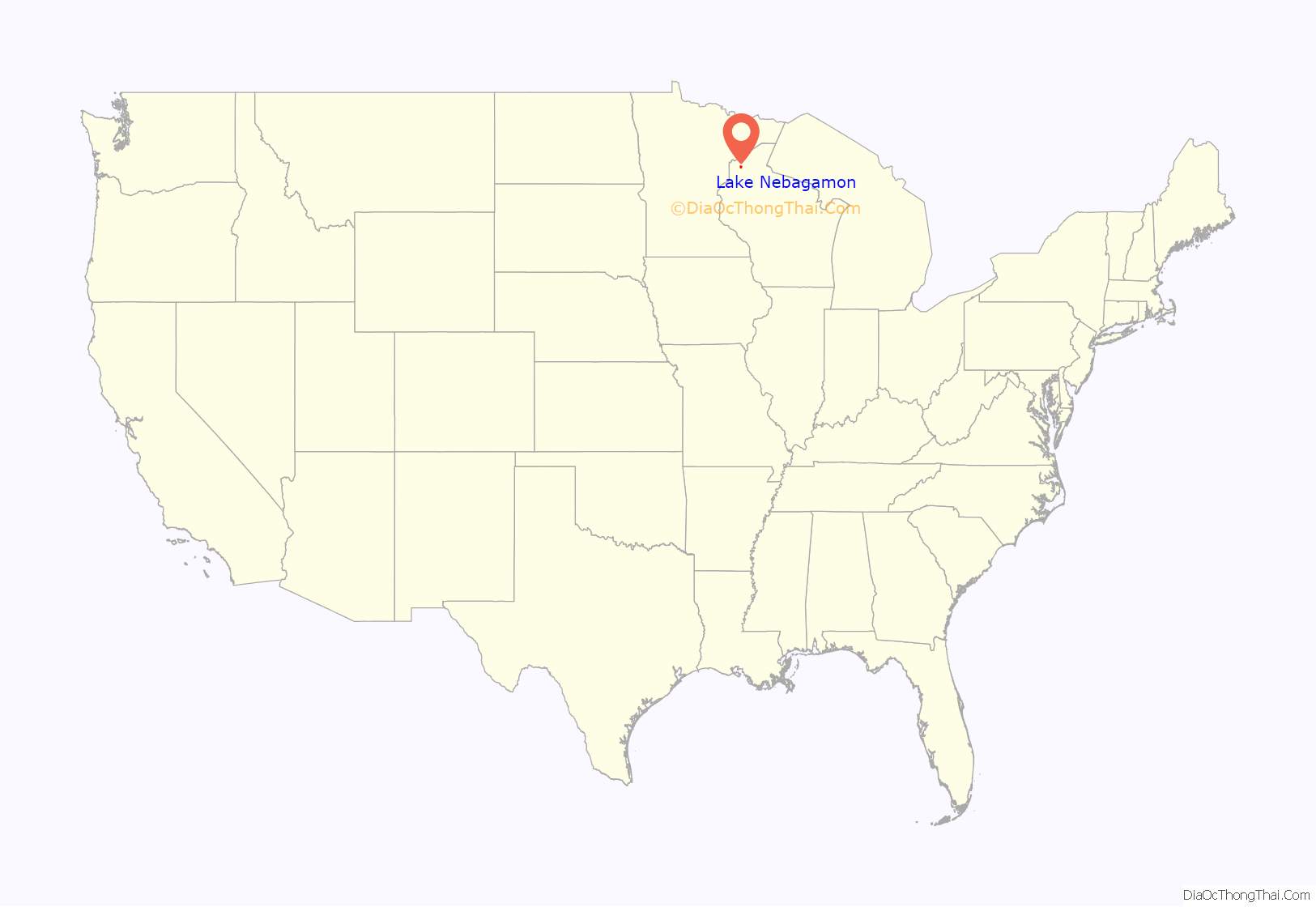
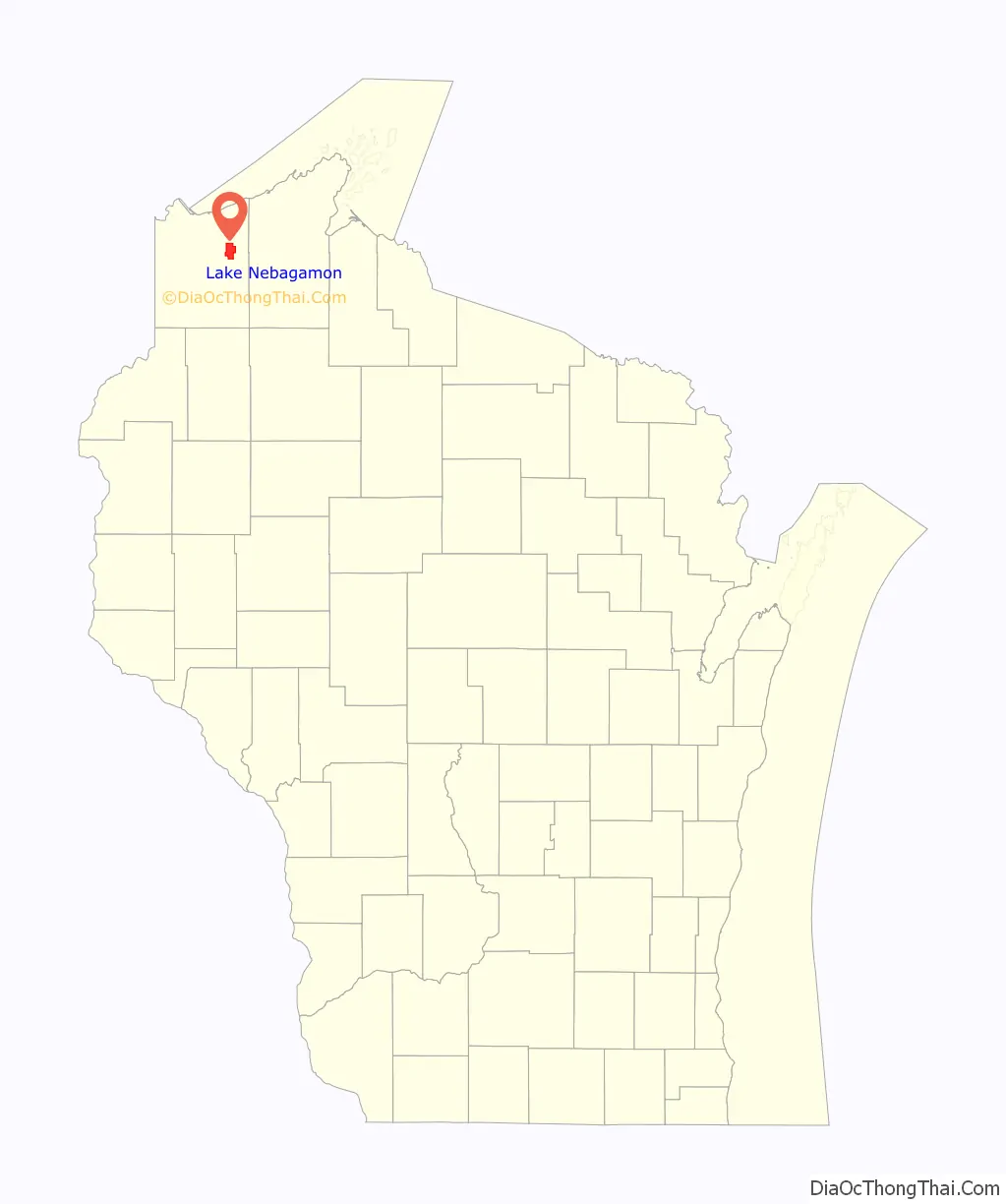
Lake Nebagamon location map. Where is Lake Nebagamon village?
History
The name Nebagamon is derived from the Chippewa Indian phrase “Nee-bay-go-moh-win”, translated as “place to hunt deer by fire on the water.” However, if you examine the journals and maps of French explorer Joseph Nicollet, this could be a mistake in translation. It is chronicled on Wednesday, August 9, 1837 by Nicollet, that Nibegomowin Creek (Now Nebagamon Creek, sharing its name with the lake) was, at the time, referred to as Sleeping Bear River. Nibegomowin more closely translates to night-time game waiting and could possibly be a place where game, such as bear, rested or were tracked in the night. Sleeping Bear River (Nebagamon Creek) can be seen on Nicollet’s 1843 map, Hydrographical Basin of the Upper Mississippi River.
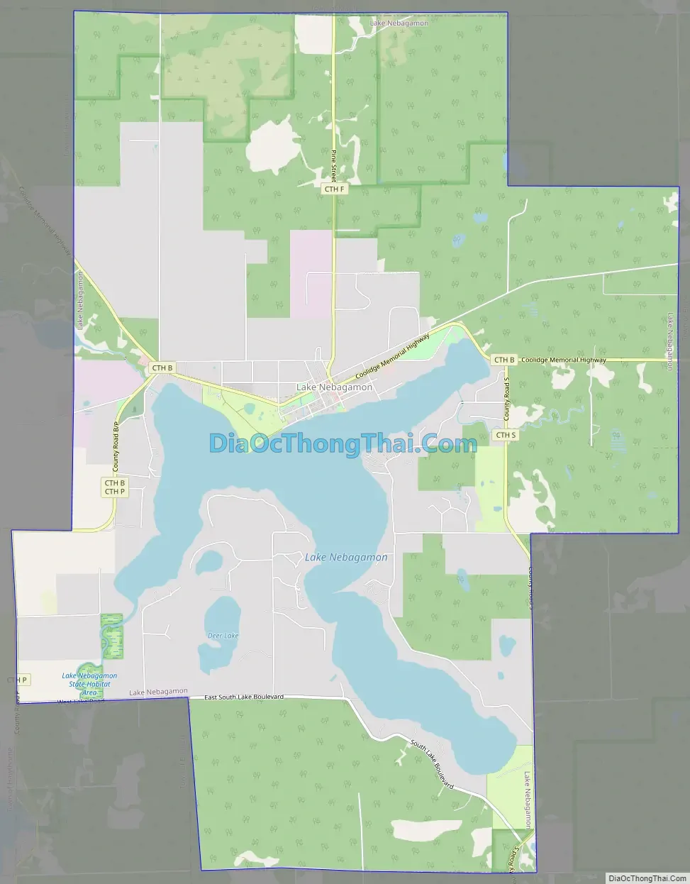
Lake Nebagamon Road Map
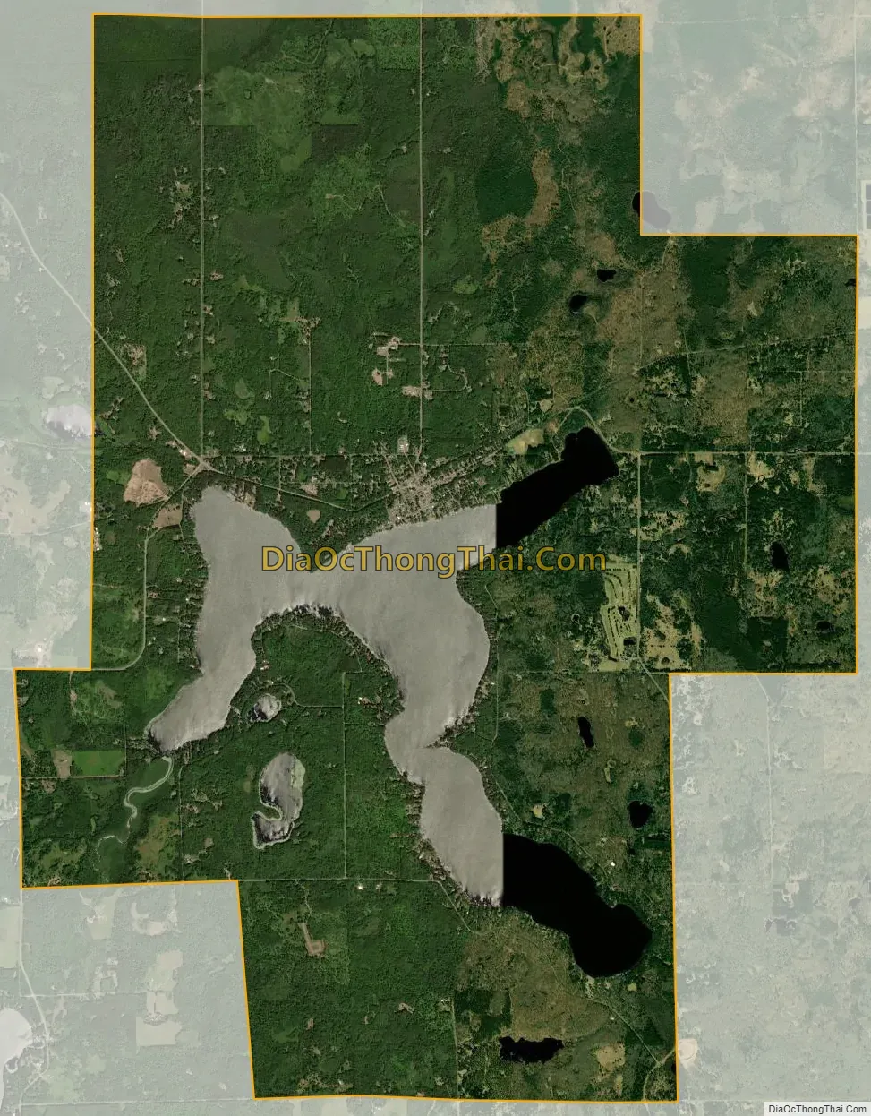
Lake Nebagamon city Satellite Map
Geography
Lake Nebagamon is located at 46°30′46″N 91°42′1″W / 46.51278°N 91.70028°W / 46.51278; -91.70028 (46.512894, -91.700351). According to the United States Census Bureau, the village has a total area of 14.34 square miles (37.14 km), of which, 12.60 square miles (32.63 km) of it is land and 1.74 square miles (4.51 km) is water.
Lake Nebagamon is located 26 miles east of the city of Superior.
See also
Map of Wisconsin State and its subdivision:- Adams
- Ashland
- Barron
- Bayfield
- Brown
- Buffalo
- Burnett
- Calumet
- Chippewa
- Clark
- Columbia
- Crawford
- Dane
- Dodge
- Door
- Douglas
- Dunn
- Eau Claire
- Florence
- Fond du Lac
- Forest
- Grant
- Green
- Green Lake
- Iowa
- Iron
- Jackson
- Jefferson
- Juneau
- Kenosha
- Kewaunee
- La Crosse
- Lafayette
- Lake Michigan
- Lake Superior
- Langlade
- Lincoln
- Manitowoc
- Marathon
- Marinette
- Marquette
- Menominee
- Milwaukee
- Monroe
- Oconto
- Oneida
- Outagamie
- Ozaukee
- Pepin
- Pierce
- Polk
- Portage
- Price
- Racine
- Richland
- Rock
- Rusk
- Saint Croix
- Sauk
- Sawyer
- Shawano
- Sheboygan
- Taylor
- Trempealeau
- Vernon
- Vilas
- Walworth
- Washburn
- Washington
- Waukesha
- Waupaca
- Waushara
- Winnebago
- Wood
- Alabama
- Alaska
- Arizona
- Arkansas
- California
- Colorado
- Connecticut
- Delaware
- District of Columbia
- Florida
- Georgia
- Hawaii
- Idaho
- Illinois
- Indiana
- Iowa
- Kansas
- Kentucky
- Louisiana
- Maine
- Maryland
- Massachusetts
- Michigan
- Minnesota
- Mississippi
- Missouri
- Montana
- Nebraska
- Nevada
- New Hampshire
- New Jersey
- New Mexico
- New York
- North Carolina
- North Dakota
- Ohio
- Oklahoma
- Oregon
- Pennsylvania
- Rhode Island
- South Carolina
- South Dakota
- Tennessee
- Texas
- Utah
- Vermont
- Virginia
- Washington
- West Virginia
- Wisconsin
- Wyoming


