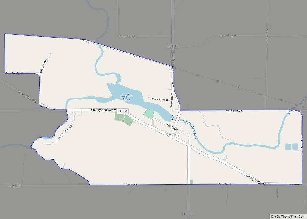
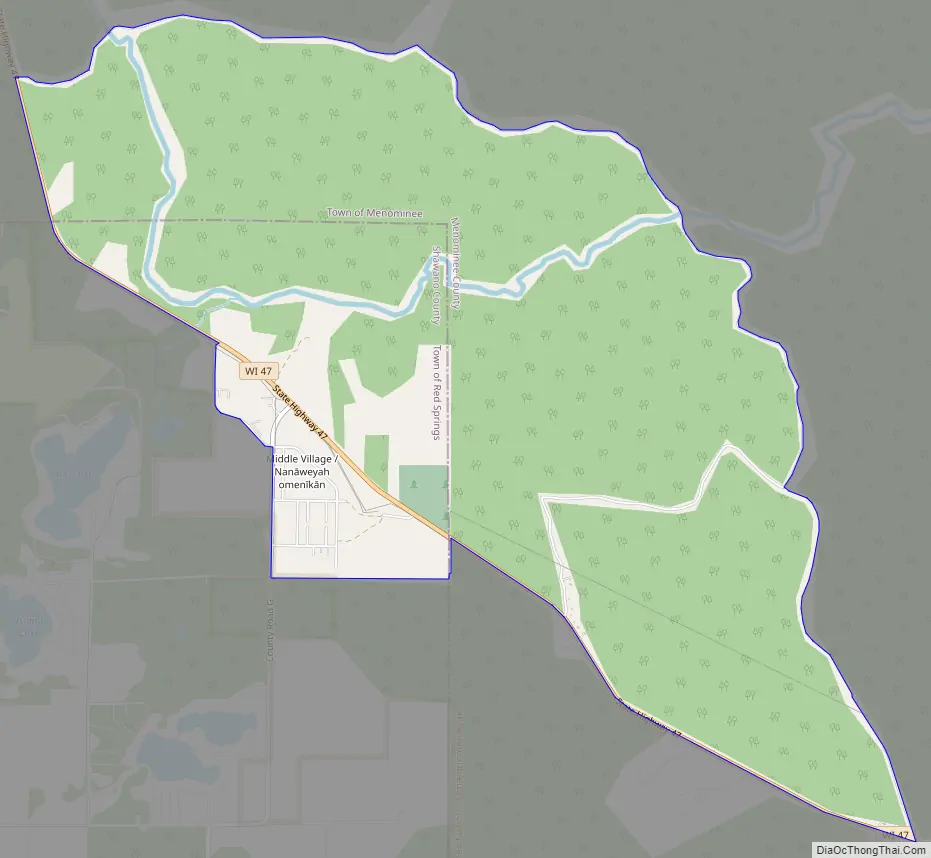
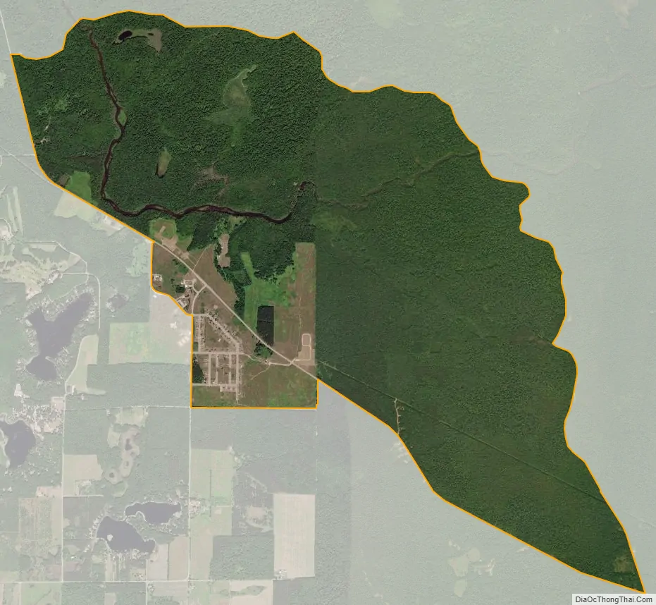
Middle Village (Menominee: Nanāweyah omenīkān) is a census-designated place (CDP), in the towns of Menominee and Red Springs, in Menominee and Shawano counties in the U.S. state of Wisconsin. It does not have any legal status as an incorporated municipality. The population was 290 at the 2020 census.
On current Wisconsin State Highway maps published by WisDOT, the community is called Nanaweyah Omīnīhekan. The Menominee name Nanāweyah means “middle village”.
| Name: | Middle Village CDP |
|---|---|
| LSAD Code: | 57 |
| LSAD Description: | CDP (suffix) |
| State: | Wisconsin |
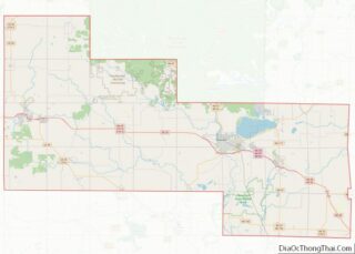
| County: | Menominee County, Shawano County |
| Elevation: | 1,020 ft (311 m) |
| Total Area: | 6.121 sq mi (15.85 km²) |
| Land Area: | 6.080 sq mi (15.75 km²) |
| Water Area: | 0.041 sq mi (0.11 km²) |
| Total Population: | 290 |
| Population Density: | 47.7/sq mi (18.4/km²) |
| Area code: | 715 & 534 |
| FIPS code: | 5551617 |
| GNISfeature ID: | 1852246 |
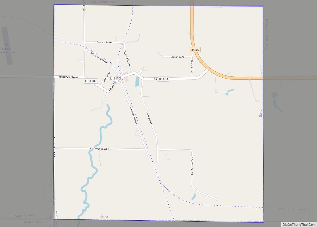
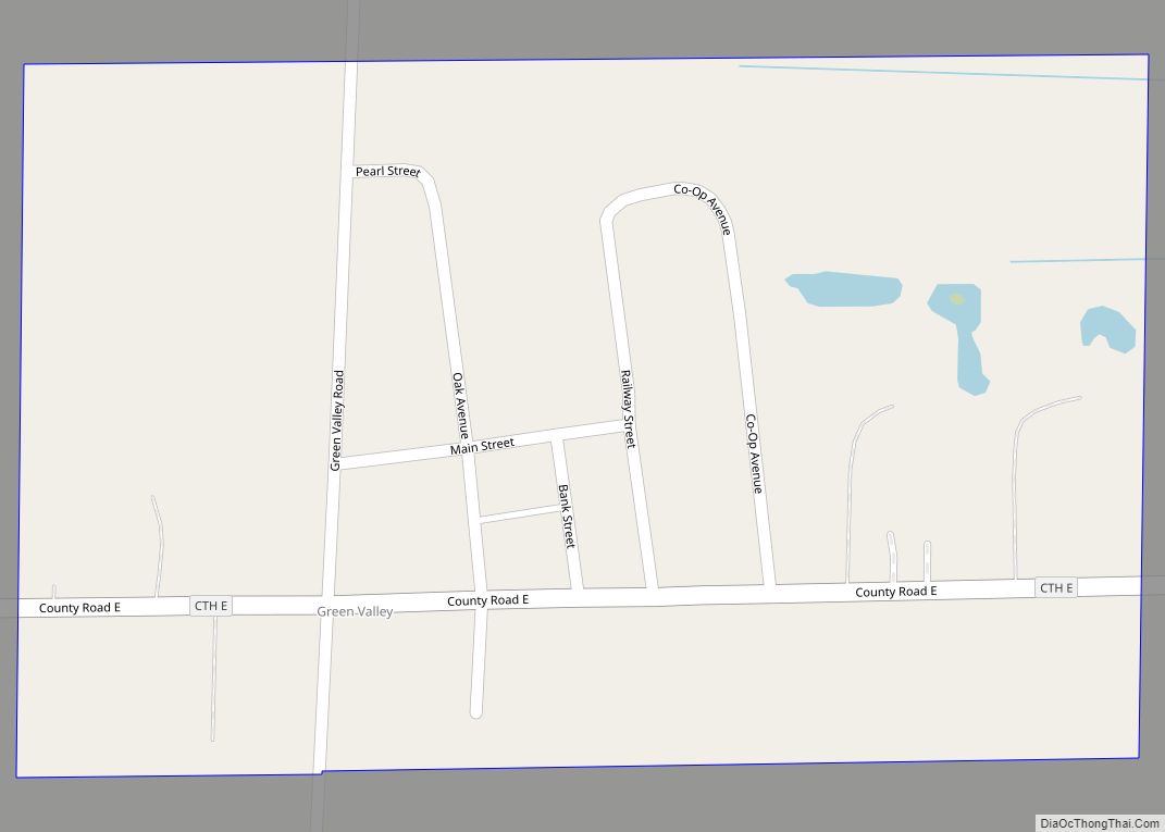
Online Interactive Map
Click on ![]() to view map in "full screen" mode.
to view map in "full screen" mode.
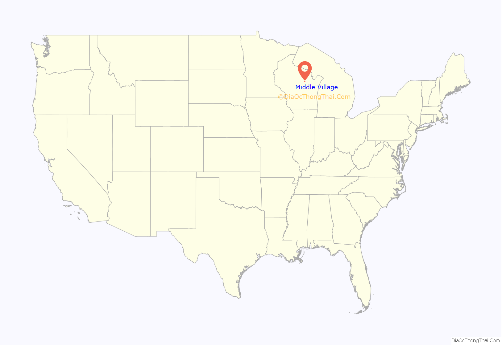
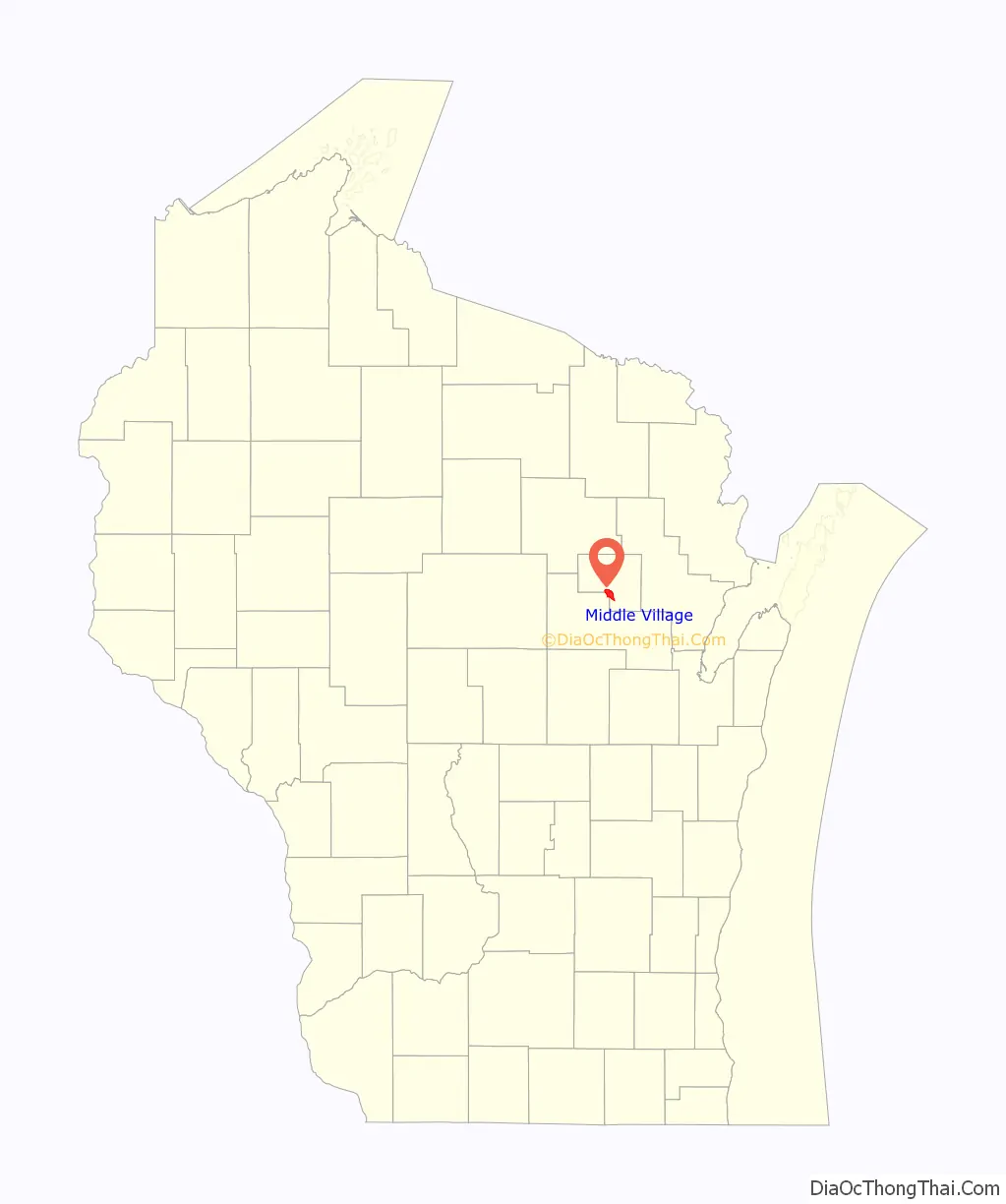
Middle Village location map. Where is Middle Village CDP?
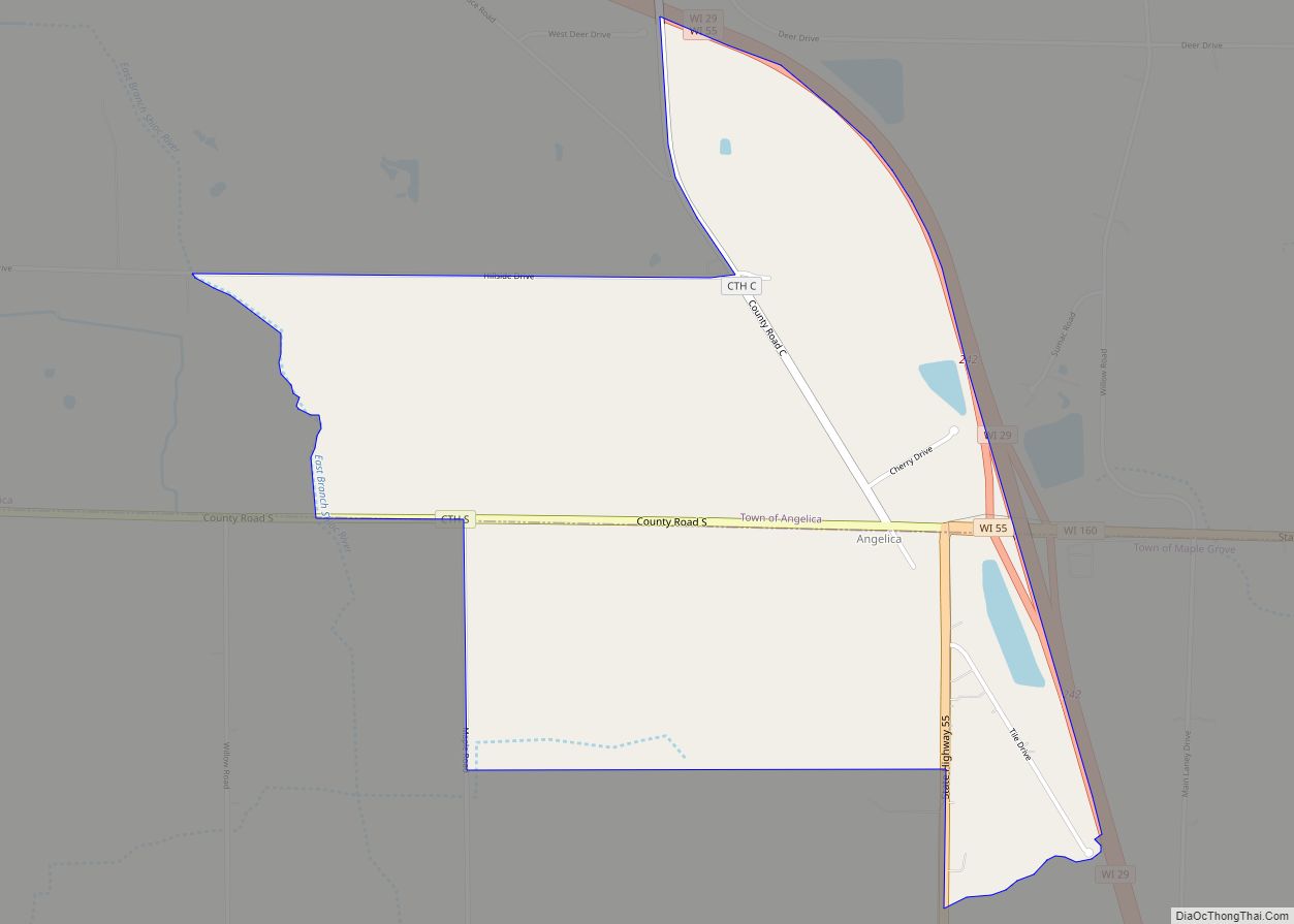
Middle Village Road Map
Middle Village city Satellite Map
Geography
Middle Village is located at 44°56′2″N 88°44′34″W / 44.93389°N 88.74278°W / 44.93389; -88.74278 (44.933853, -88.742805).
According to the United States Census Bureau, the CDP has a total area of 6.9 square miles (17.9 km), all land.
See also
Map of Wisconsin State and its subdivision:- Adams
- Ashland
- Barron
- Bayfield
- Brown
- Buffalo
- Burnett
- Calumet
- Chippewa
- Clark
- Columbia
- Crawford
- Dane
- Dodge
- Door
- Douglas
- Dunn
- Eau Claire
- Florence
- Fond du Lac
- Forest
- Grant
- Green
- Green Lake
- Iowa
- Iron
- Jackson
- Jefferson
- Juneau
- Kenosha
- Kewaunee
- La Crosse
- Lafayette
- Lake Michigan
- Lake Superior
- Langlade
- Lincoln
- Manitowoc
- Marathon
- Marinette
- Marquette
- Menominee
- Milwaukee
- Monroe
- Oconto
- Oneida
- Outagamie
- Ozaukee
- Pepin
- Pierce
- Polk
- Portage
- Price
- Racine
- Richland
- Rock
- Rusk
- Saint Croix
- Sauk
- Sawyer
- Shawano
- Sheboygan
- Taylor
- Trempealeau
- Vernon
- Vilas
- Walworth
- Washburn
- Washington
- Waukesha
- Waupaca
- Waushara
- Winnebago
- Wood
- Alabama
- Alaska
- Arizona
- Arkansas
- California
- Colorado
- Connecticut
- Delaware
- District of Columbia
- Florida
- Georgia
- Hawaii
- Idaho
- Illinois
- Indiana
- Iowa
- Kansas
- Kentucky
- Louisiana
- Maine
- Maryland
- Massachusetts
- Michigan
- Minnesota
- Mississippi
- Missouri
- Montana
- Nebraska
- Nevada
- New Hampshire
- New Jersey
- New Mexico
- New York
- North Carolina
- North Dakota
- Ohio
- Oklahoma
- Oregon
- Pennsylvania
- Rhode Island
- South Carolina
- South Dakota
- Tennessee
- Texas
- Utah
- Vermont
- Virginia
- Washington
- West Virginia
- Wisconsin
- Wyoming