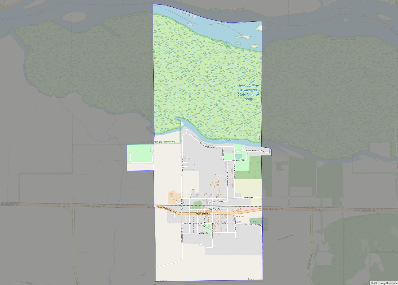
Muscoda is a village in Grant and Iowa counties in the U.S. state of Wisconsin. The population was 1,299 at the 2010 census. Of this, 1,249 were in Grant County and 50 were in Iowa County. The Grant County part of the village is adjacent to the Town of Muscoda and the Iowa County part is adjacent to the Town of Pulaski. Muscoda is the largest village in Grant County.
| Name: | Muscoda village |
|---|---|
| LSAD Code: | 47 |
| LSAD Description: | village (suffix) |
| State: | Wisconsin |
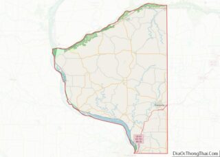
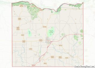
| County: | Grant County, Iowa County |
| Elevation: | 725 ft (221 m) |
| Total Area: | 1.55 sq mi (4.02 km²) |
| Land Area: | 1.55 sq mi (4.02 km²) |
| Water Area: | 0.00 sq mi (0.00 km²) |
| Total Population: | 1,299 |
| Population Density: | 800.90/sq mi (309.28/km²) |
| Area code: | 608 |
| FIPS code: | 5555200 |
| GNISfeature ID: | 1583773 |
| Website: | www.muscoda.com |
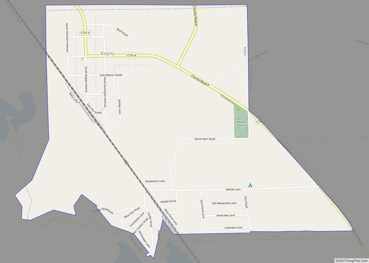
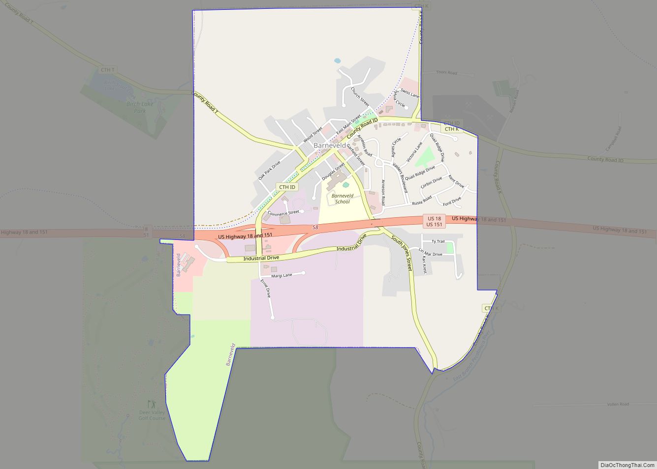
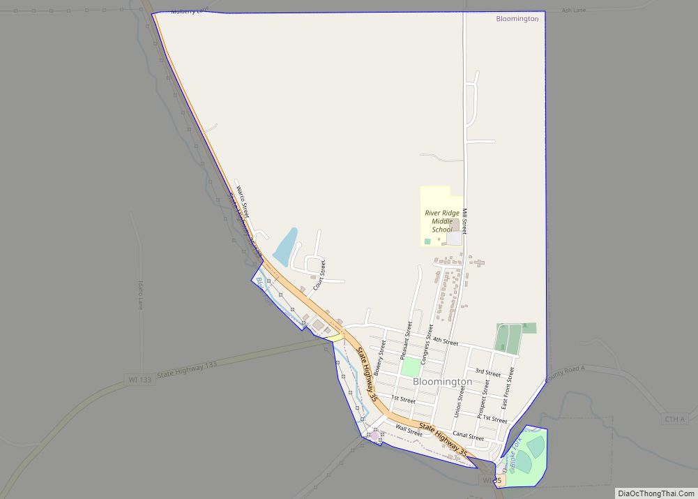
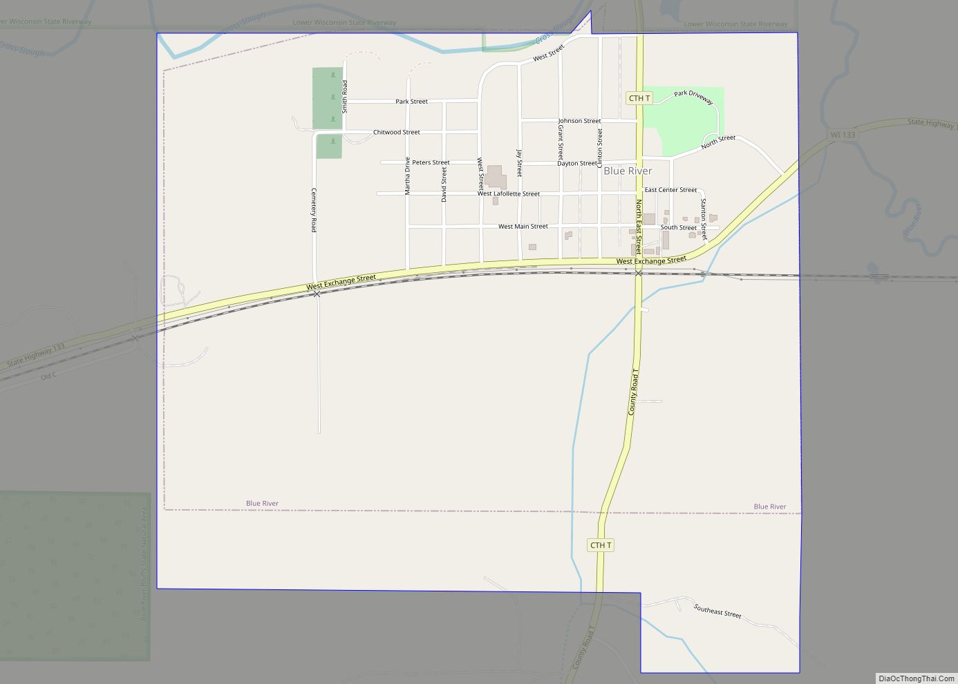
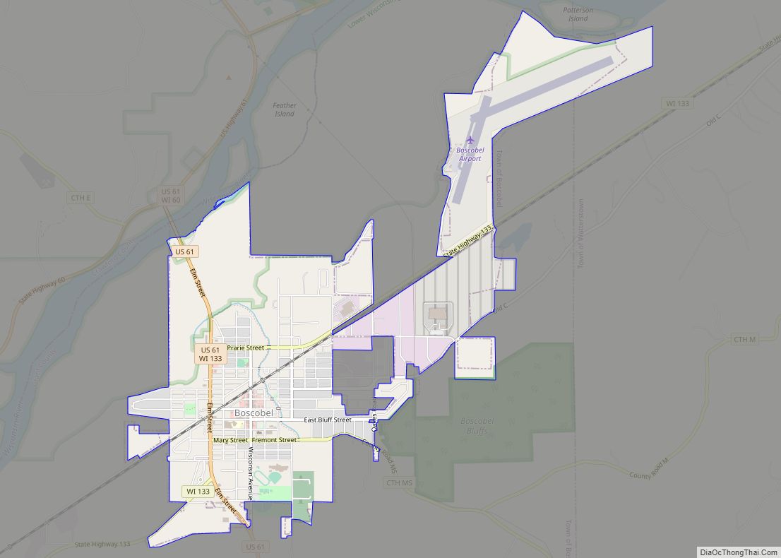
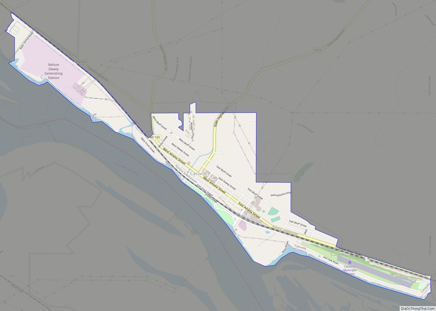
Online Interactive Map
Click on ![]() to view map in "full screen" mode.
to view map in "full screen" mode.
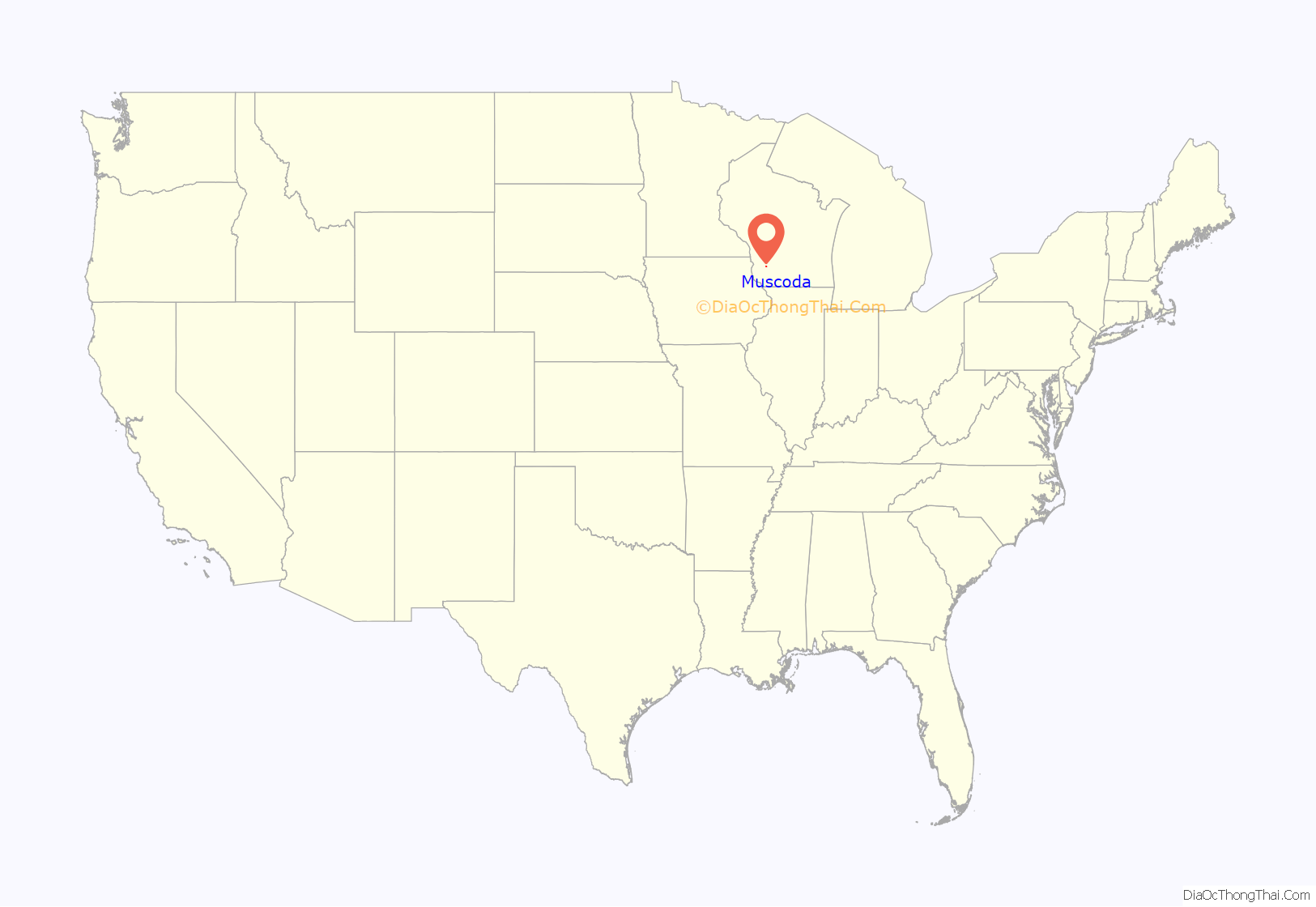
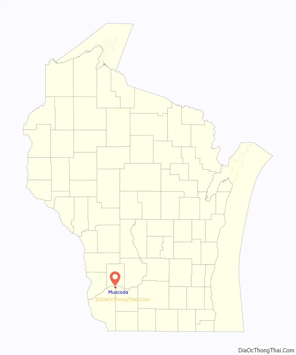
Muscoda location map. Where is Muscoda village?
History
Explorer and historian William Pidgeon, who visited the area in 1840, reported that Muscoda was “the ancient location of a large Indian village, but at present occupied by a few white families. This village is situated on an extensive plain of sandy soil, on the surface of which may be seen relics of many an ancient mound, varying much in size and form; some resembling redoubts, or fortifications, others presenting the forms of gigantic men, beasts, birds, and reptiles, among which may be found the eagle, the otter, the serpent, the alligator, and others pertaining to the deer, elk, and buffalo species. The highland in the vicinity of this village abounds with monuments that bear testimony to the ancient existence of an immense population in those regions.”
Muscoda became known as English Prairie, named for two English fur traders, Abraham Lansing and Garrit Roseboom, who opened a post at the close of the French and Indian War. Lansing and his son were murdered in 1763 by their French assistants and the fame of the murder kept the name English Prairie alive until 1840.
The word Muscoda (pronounced “MUS-co-day”) may be a corruption of the Ojibwa (Chippewa) word mashkode, meaning “prairie”. It may also have been taken from Longfellow’s Hiawatha, in which it is mentioned several times. The word’s popular meaning was “Prairie of Flowers”.
Muscoda has billed itself as the “Wisconsin’s Morel Capital” since 1982 and hosts the “Morel Mushroom Festival” every year on the weekend following Mother’s Day. The event includes carnival rides, tractors pulls, tournaments, merchant stands, food booths, and portable tattoo parlors.
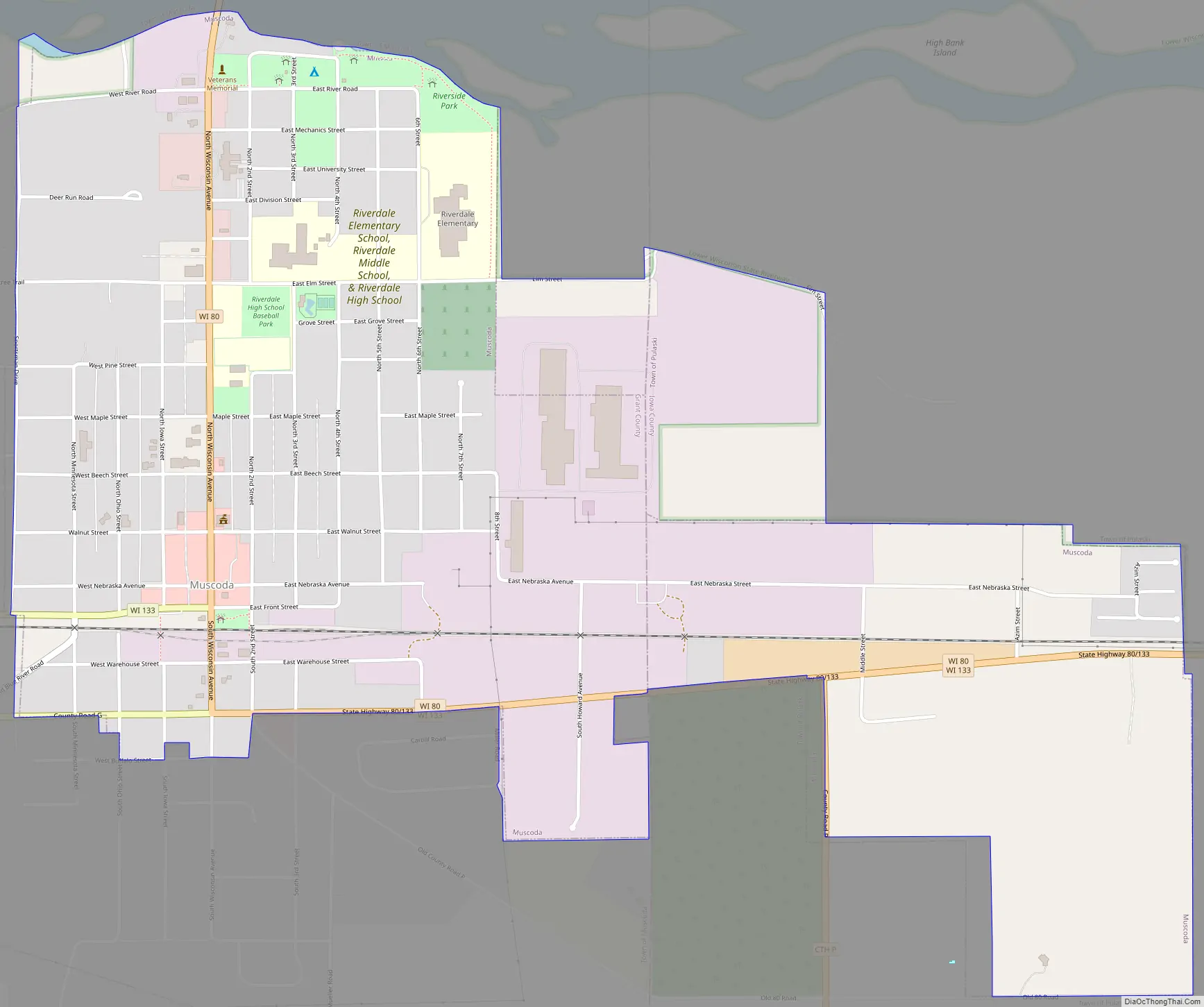
Muscoda Road Map
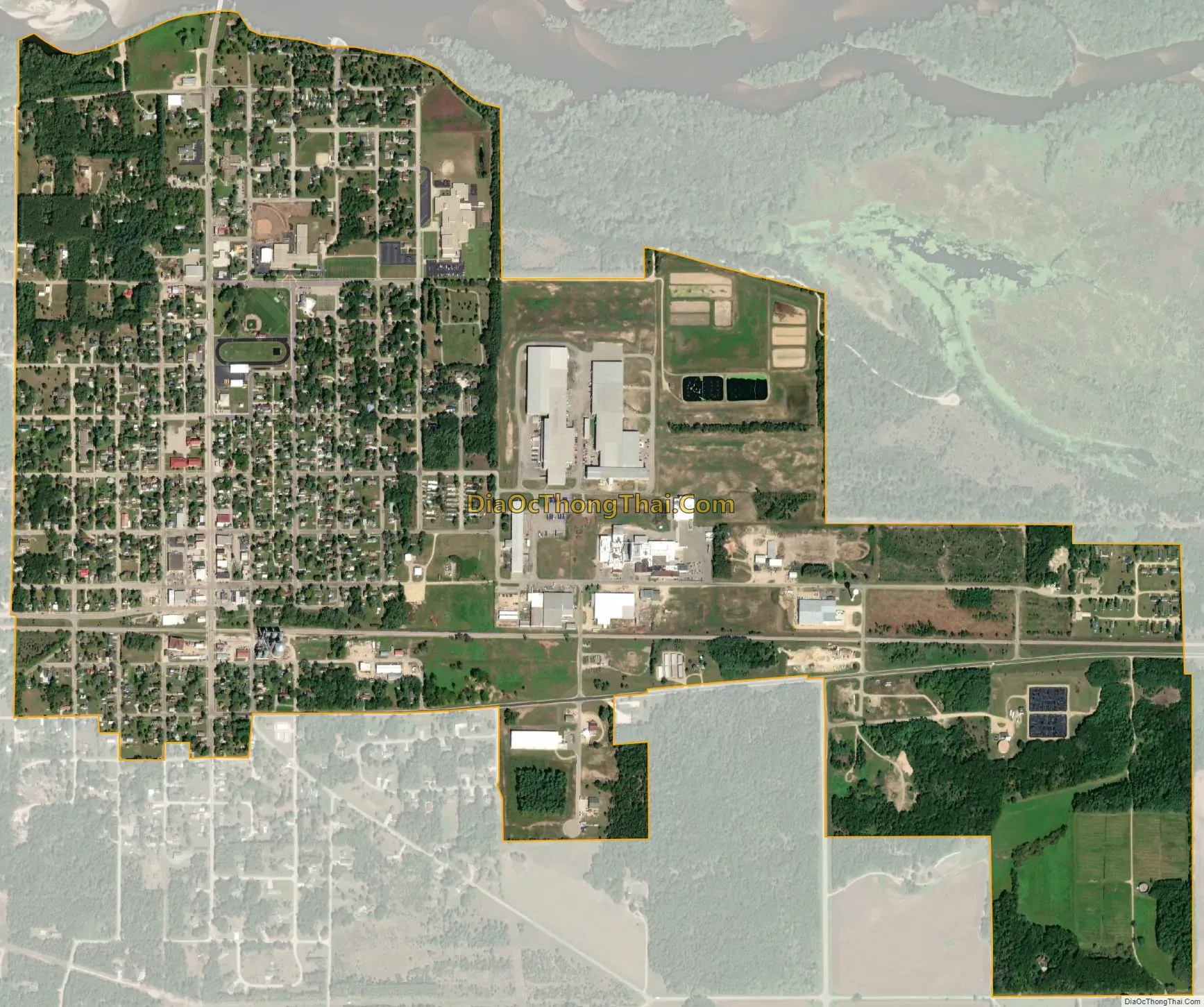
Muscoda city Satellite Map
Geography
Muscoda is located at 43°11′18″N 90°26′26″W / 43.18833°N 90.44056°W / 43.18833; -90.44056 (43.188457, -90.440775), on the Wisconsin River. Large rolling hills board the south of the town covered in mixed hardwoods made up of mainly Maple, Red/White Oak, Aspen, Cherry, Elm, and Walnut. 2,100 acres (8.5 km) of public land hug both the east and west sides of Muscoda. These public lands hold a great deal of wildlife for both sports and wildlife enthusiasts.
According to the United States Census Bureau, the village has a total area of 1.46 square miles (3.78 km), all of it land.
See also
Map of Wisconsin State and its subdivision:- Adams
- Ashland
- Barron
- Bayfield
- Brown
- Buffalo
- Burnett
- Calumet
- Chippewa
- Clark
- Columbia
- Crawford
- Dane
- Dodge
- Door
- Douglas
- Dunn
- Eau Claire
- Florence
- Fond du Lac
- Forest
- Grant
- Green
- Green Lake
- Iowa
- Iron
- Jackson
- Jefferson
- Juneau
- Kenosha
- Kewaunee
- La Crosse
- Lafayette
- Lake Michigan
- Lake Superior
- Langlade
- Lincoln
- Manitowoc
- Marathon
- Marinette
- Marquette
- Menominee
- Milwaukee
- Monroe
- Oconto
- Oneida
- Outagamie
- Ozaukee
- Pepin
- Pierce
- Polk
- Portage
- Price
- Racine
- Richland
- Rock
- Rusk
- Saint Croix
- Sauk
- Sawyer
- Shawano
- Sheboygan
- Taylor
- Trempealeau
- Vernon
- Vilas
- Walworth
- Washburn
- Washington
- Waukesha
- Waupaca
- Waushara
- Winnebago
- Wood
- Alabama
- Alaska
- Arizona
- Arkansas
- California
- Colorado
- Connecticut
- Delaware
- District of Columbia
- Florida
- Georgia
- Hawaii
- Idaho
- Illinois
- Indiana
- Iowa
- Kansas
- Kentucky
- Louisiana
- Maine
- Maryland
- Massachusetts
- Michigan
- Minnesota
- Mississippi
- Missouri
- Montana
- Nebraska
- Nevada
- New Hampshire
- New Jersey
- New Mexico
- New York
- North Carolina
- North Dakota
- Ohio
- Oklahoma
- Oregon
- Pennsylvania
- Rhode Island
- South Carolina
- South Dakota
- Tennessee
- Texas
- Utah
- Vermont
- Virginia
- Washington
- West Virginia
- Wisconsin
- Wyoming