The Town of Necedah /nəˈsiːdə/ is a town in Juneau County, United States. The population was 2,156 at the 2000 census. The Village of Necedah is located within the town. The unincorporated communities of Cloverdale and Sprague are also located in the town.
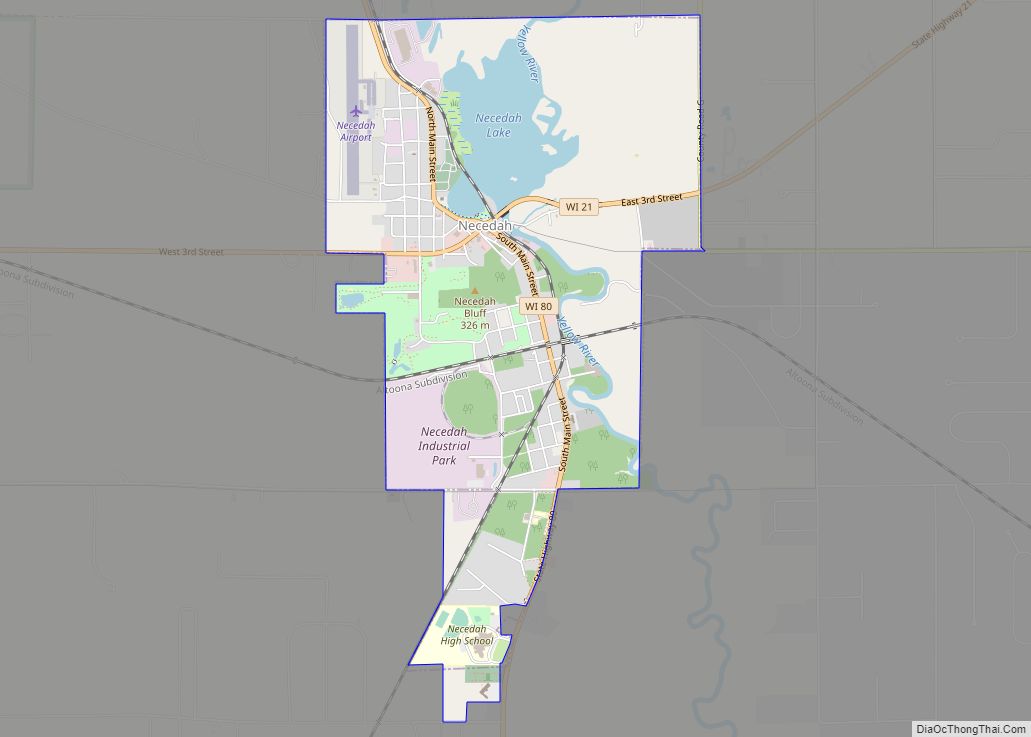
| Name: | Necedah village |
|---|---|
| LSAD Code: | 47 |
| LSAD Description: | village (suffix) |
| State: | Wisconsin |
| County: | Juneau County |
| FIPS code: | 5555700 |
Online Interactive Map
Click on ![]() to view map in "full screen" mode.
to view map in "full screen" mode.
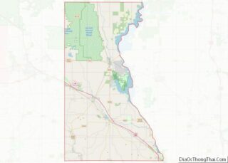
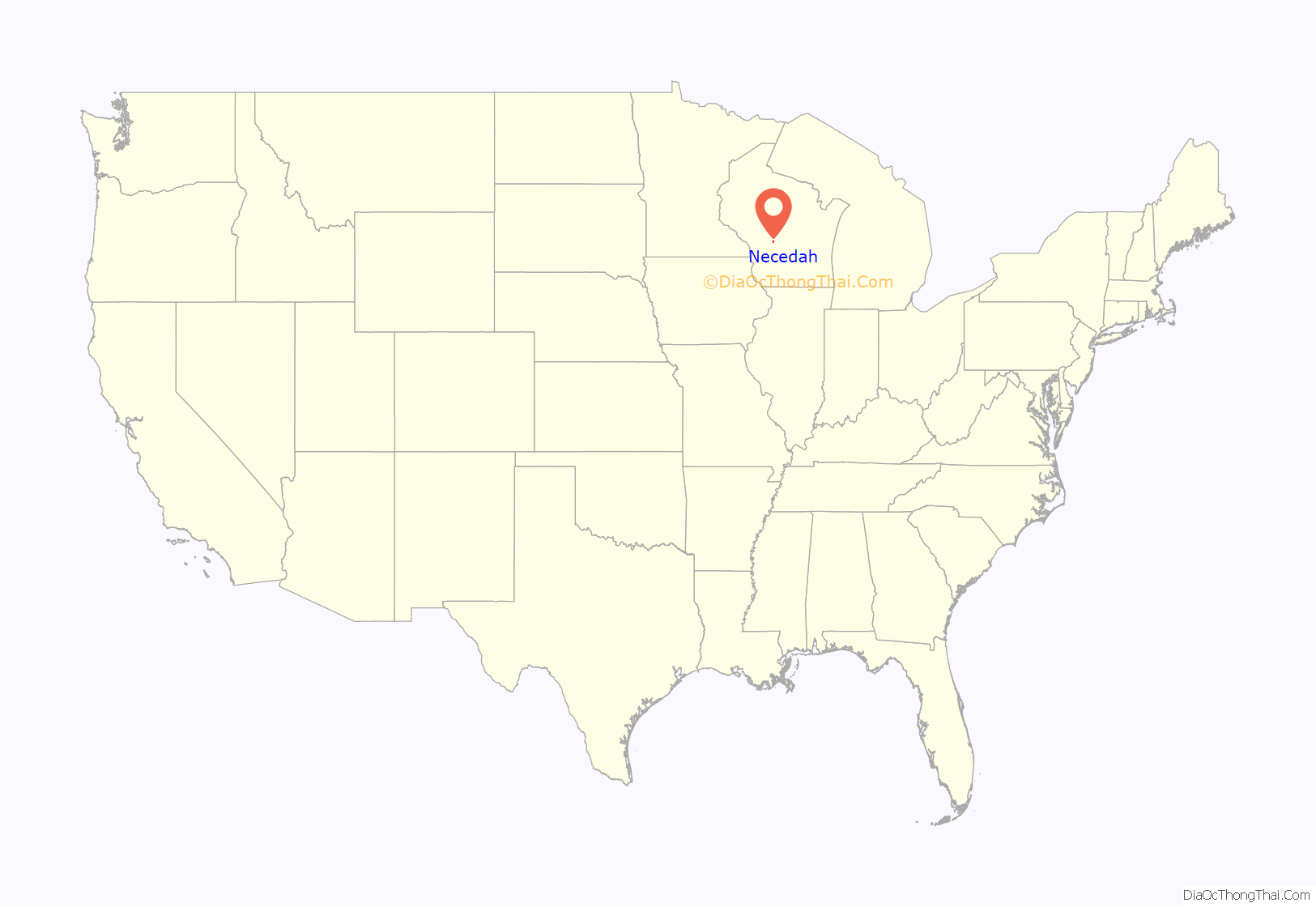
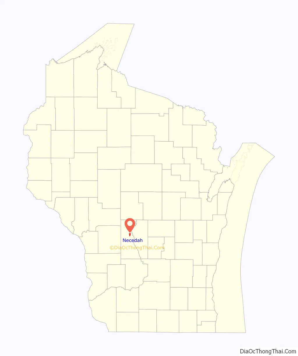
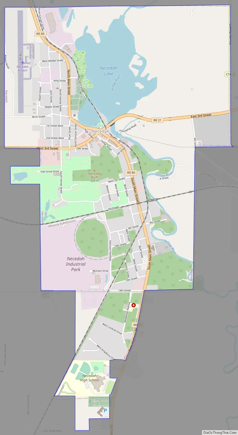
Necedah location map. Where is Necedah village?
History
The name “Necedah” comes from the Ho Chunk peoples who inhabited the area before the arrival of European settlers and means “Land of the Yellow Waters”, a reference to the Yellow River.
Necedah Shrine
In its issue of September 11, 1950 Life magazine reported a gathering of 80,000 on the preceding August 15 at a farm near the town where a Mrs Van Hoof had reported seeing a vision of the Virgin Mary.
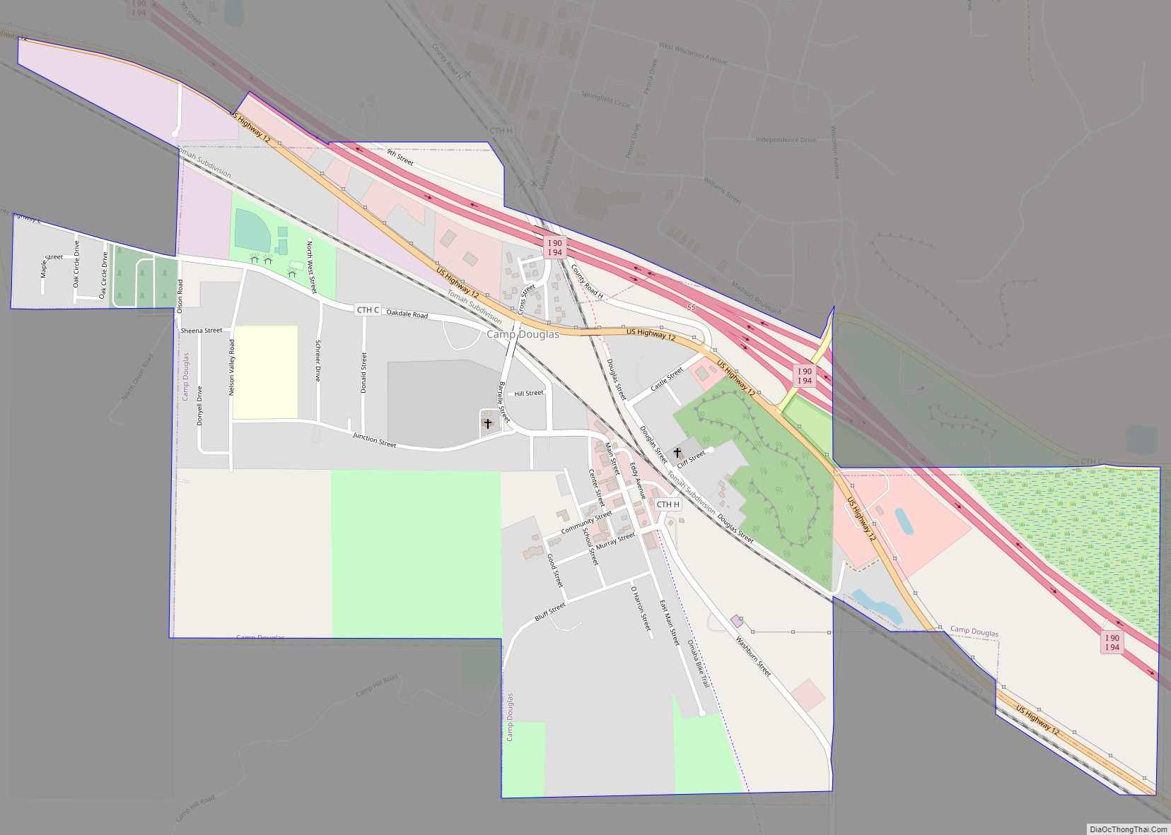
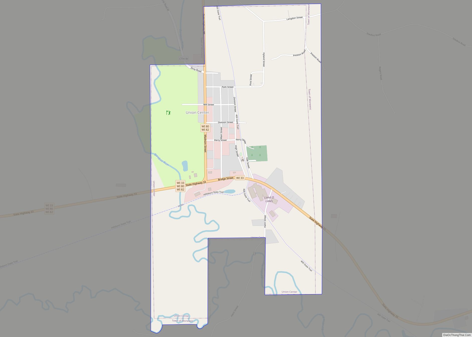
Necedah Road Map
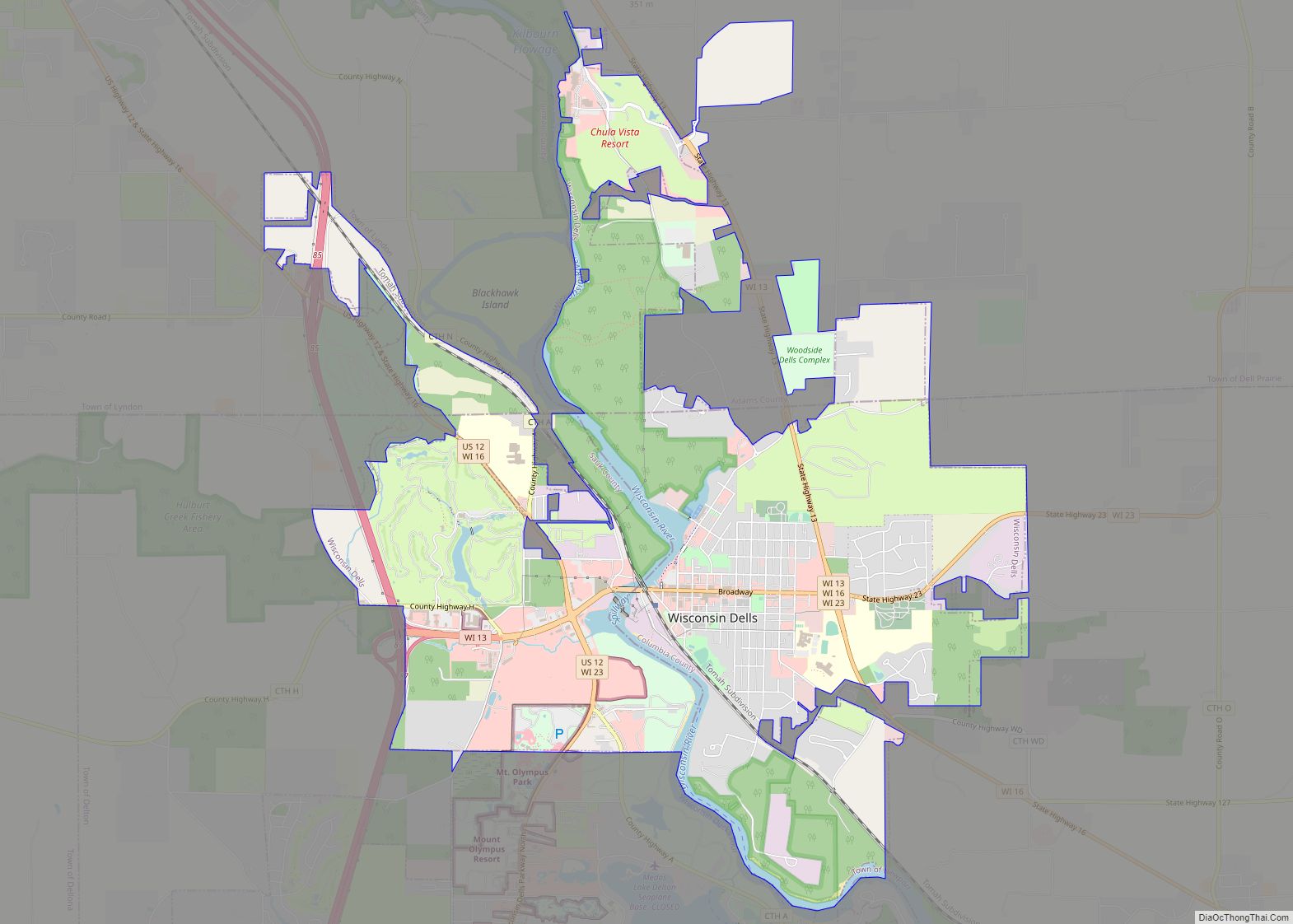
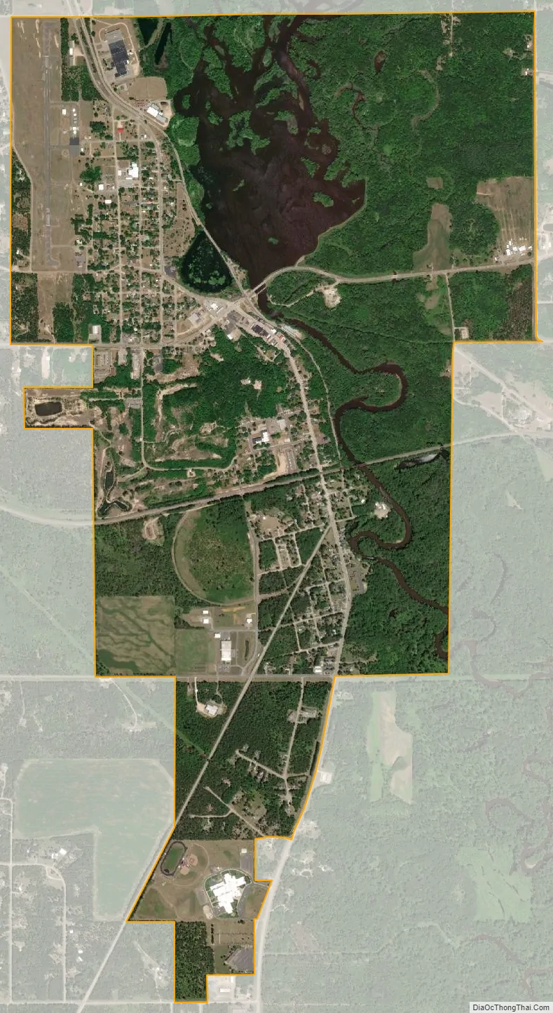
Necedah city Satellite Map
Geography
According to the United States Census Bureau, the town has a total area of 82.9 square miles (214.6 km). 78.3 square miles (202.8 km) of it is land and 4.6 square miles (11.8 km) of it (5.50%) is water.
See also
Map of Wisconsin State and its subdivision:- Adams
- Ashland
- Barron
- Bayfield
- Brown
- Buffalo
- Burnett
- Calumet
- Chippewa
- Clark
- Columbia
- Crawford
- Dane
- Dodge
- Door
- Douglas
- Dunn
- Eau Claire
- Florence
- Fond du Lac
- Forest
- Grant
- Green
- Green Lake
- Iowa
- Iron
- Jackson
- Jefferson
- Juneau
- Kenosha
- Kewaunee
- La Crosse
- Lafayette
- Lake Michigan
- Lake Superior
- Langlade
- Lincoln
- Manitowoc
- Marathon
- Marinette
- Marquette
- Menominee
- Milwaukee
- Monroe
- Oconto
- Oneida
- Outagamie
- Ozaukee
- Pepin
- Pierce
- Polk
- Portage
- Price
- Racine
- Richland
- Rock
- Rusk
- Saint Croix
- Sauk
- Sawyer
- Shawano
- Sheboygan
- Taylor
- Trempealeau
- Vernon
- Vilas
- Walworth
- Washburn
- Washington
- Waukesha
- Waupaca
- Waushara
- Winnebago
- Wood
- Alabama
- Alaska
- Arizona
- Arkansas
- California
- Colorado
- Connecticut
- Delaware
- District of Columbia
- Florida
- Georgia
- Hawaii
- Idaho
- Illinois
- Indiana
- Iowa
- Kansas
- Kentucky
- Louisiana
- Maine
- Maryland
- Massachusetts
- Michigan
- Minnesota
- Mississippi
- Missouri
- Montana
- Nebraska
- Nevada
- New Hampshire
- New Jersey
- New Mexico
- New York
- North Carolina
- North Dakota
- Ohio
- Oklahoma
- Oregon
- Pennsylvania
- Rhode Island
- South Carolina
- South Dakota
- Tennessee
- Texas
- Utah
- Vermont
- Virginia
- Washington
- West Virginia
- Wisconsin
- Wyoming