Rosholt is a village in Portage County, Wisconsin, United States. The population was 478 at the 2020 census.
| Name: | Rosholt village |
|---|---|
| LSAD Code: | 47 |
| LSAD Description: | village (suffix) |
| State: | Wisconsin |
| County: | Portage County |
| Elevation: | 1,138 ft (347 m) |
| Total Area: | 1.09 sq mi (2.81 km²) |
| Land Area: | 1.05 sq mi (2.72 km²) |
| Water Area: | 0.04 sq mi (0.09 km²) |
| Total Population: | 478 |
| Population Density: | 462.86/sq mi (178.66/km²) |
| ZIP code: | 54473 |
| Area code: | 715 & 534 |
| FIPS code: | 5569575 |
| GNISfeature ID: | 1572619 |
| Website: | villageofrosholt.com |
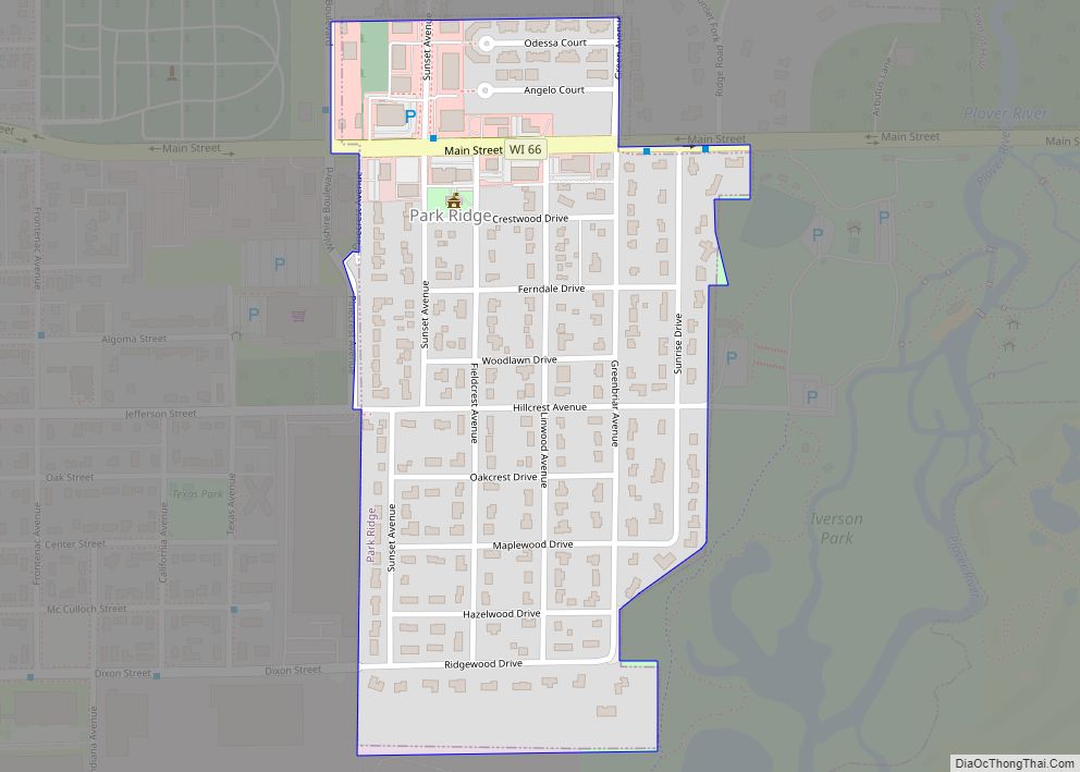
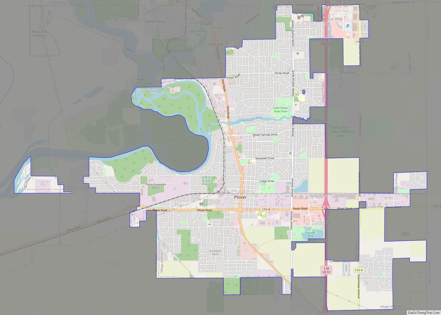
Online Interactive Map
Click on ![]() to view map in "full screen" mode.
to view map in "full screen" mode.
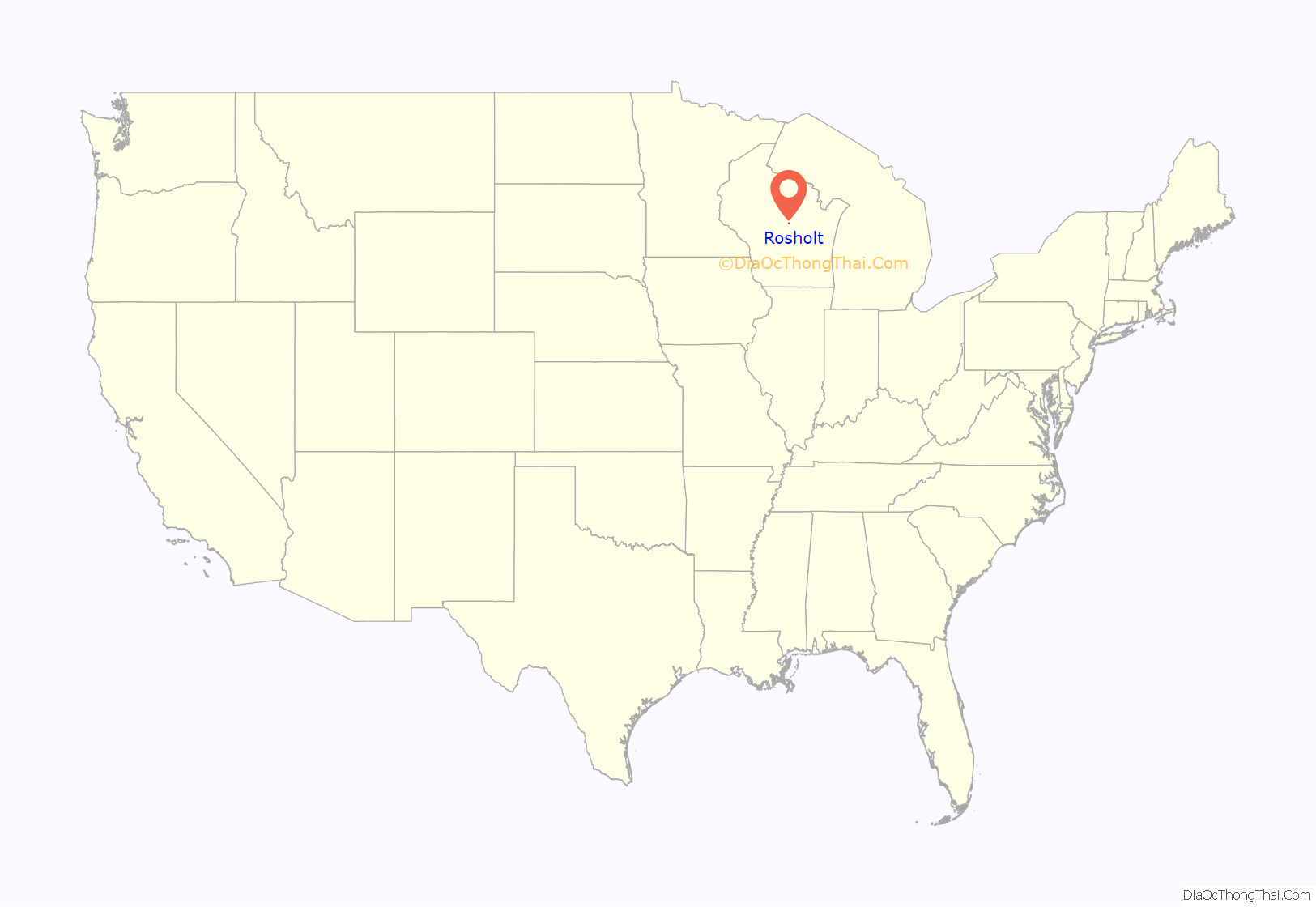
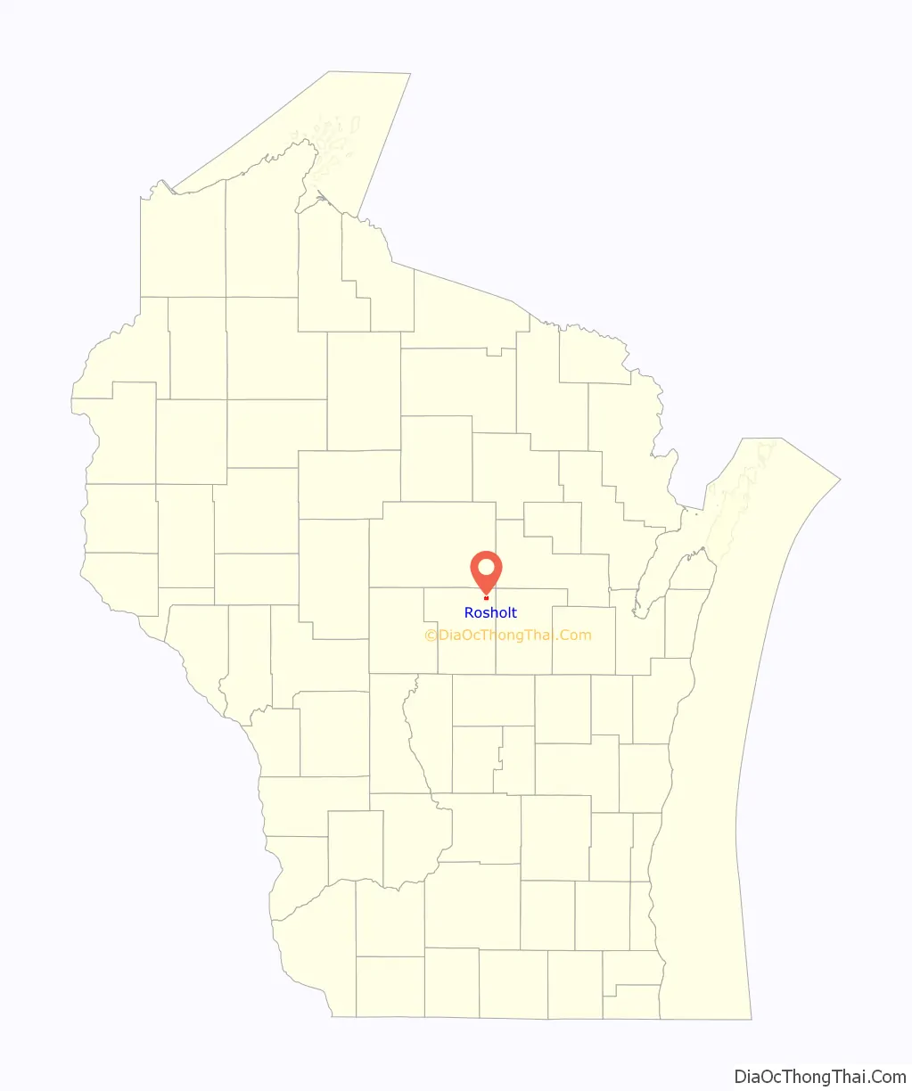
Rosholt location map. Where is Rosholt village?
History
The person recorded as first owning the land on which Rosholt sits is Gottlieb Stanbly. Stanbly received four 40-acre (160,000 m) parcels directly from the U.S. Government on May 10, 1858 because he was a veteran. Gottlieb Stanbly sold the land to Theodor Stanbly in 1861 for $430 when Gottlieb left the area to fight in the Civil War. Theodor sold the land to Jens Rasmussen in 1867 for $400. Rasmussen created a millpond by damming Flume Creek, and built a water-driven feed mill sometime between 1867 and 1881. John Gilbert (J.G.) Rosholt built the first sawmill in town on the east end of the millpond in 1884, after making a deal to share water rights with Rasmussen. J.G. Rosholt’s first mill burned in 1901, but it was rebuilt later that year and into 1902. The first survey and platting of Rosholt was done on June 1, 1903 at J.G. Rosholt’s request. Rosholt was incorporated in 1907 and was named after J.G. Rosholt, who was elected the first village president on April 7, 1908.
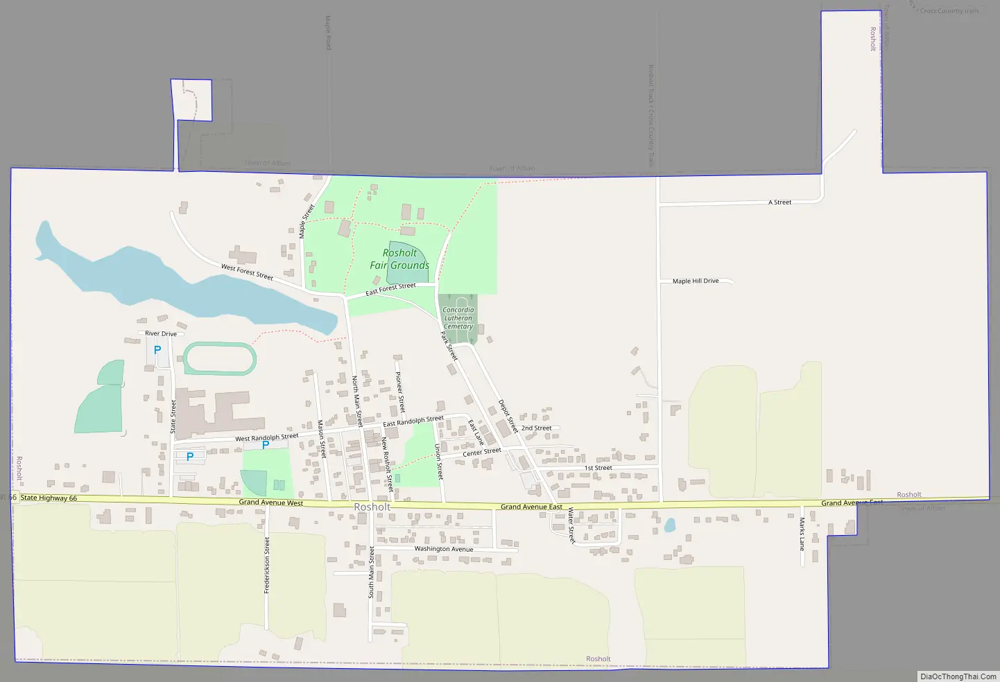
Rosholt Road Map
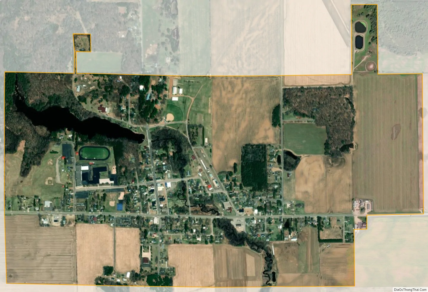
Rosholt city Satellite Map
Geography
Rosholt is located at 44°37′50″N 89°18′27″W / 44.63056°N 89.30750°W / 44.63056; -89.30750 (44.630421, -89.307414).
According to the United States Census Bureau, the village has a total area of 1.10 square miles (2.85 km), of which, 1.06 square miles (2.75 km) of it is land and 0.04 square miles (0.10 km) is water.
See also
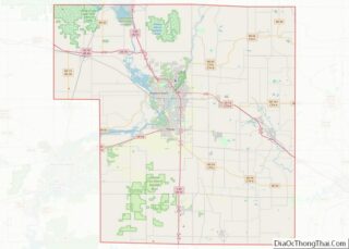
Map of Wisconsin State and its subdivision:- Adams
- Ashland
- Barron
- Bayfield
- Brown
- Buffalo
- Burnett
- Calumet
- Chippewa
- Clark
- Columbia
- Crawford
- Dane
- Dodge
- Door
- Douglas
- Dunn
- Eau Claire
- Florence
- Fond du Lac
- Forest
- Grant
- Green
- Green Lake
- Iowa
- Iron
- Jackson
- Jefferson
- Juneau
- Kenosha
- Kewaunee
- La Crosse
- Lafayette
- Lake Michigan
- Lake Superior
- Langlade
- Lincoln
- Manitowoc
- Marathon
- Marinette
- Marquette
- Menominee
- Milwaukee
- Monroe
- Oconto
- Oneida
- Outagamie
- Ozaukee
- Pepin
- Pierce
- Polk
- Portage
- Price
- Racine
- Richland
- Rock
- Rusk
- Saint Croix
- Sauk
- Sawyer
- Shawano
- Sheboygan
- Taylor
- Trempealeau
- Vernon
- Vilas
- Walworth
- Washburn
- Washington
- Waukesha
- Waupaca
- Waushara
- Winnebago
- Wood
- Alabama
- Alaska
- Arizona
- Arkansas
- California
- Colorado
- Connecticut
- Delaware
- District of Columbia
- Florida
- Georgia
- Hawaii
- Idaho
- Illinois
- Indiana
- Iowa
- Kansas
- Kentucky
- Louisiana
- Maine
- Maryland
- Massachusetts
- Michigan
- Minnesota
- Mississippi
- Missouri
- Montana
- Nebraska
- Nevada
- New Hampshire
- New Jersey
- New Mexico
- New York
- North Carolina
- North Dakota
- Ohio
- Oklahoma
- Oregon
- Pennsylvania
- Rhode Island
- South Carolina
- South Dakota
- Tennessee
- Texas
- Utah
- Vermont
- Virginia
- Washington
- West Virginia
- Wisconsin
- Wyoming