Stoddard is a village in Vernon County, Wisconsin, United States. The population was 840 at the 2020 census.
| Name: | Stoddard village |
|---|---|
| LSAD Code: | 47 |
| LSAD Description: | village (suffix) |
| State: | Wisconsin |
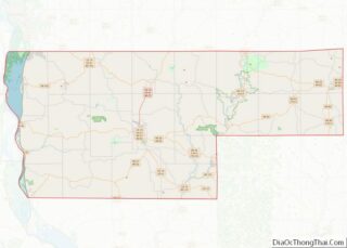
| County: | Vernon County |
| Elevation: | 659 ft (201 m) |
| Total Area: | 0.71 sq mi (1.84 km²) |
| Land Area: | 0.64 sq mi (1.65 km²) |
| Water Area: | 0.07 sq mi (0.19 km²) |
| Total Population: | 840 |
| Population Density: | 1,302.98/sq mi (502.72/km²) |
| ZIP code: | 54658 |
| Area code: | 608 |
| FIPS code: | 5577550 |
| GNISfeature ID: | 1574912 |
| Website: | www.mwt.net/~stod/ |
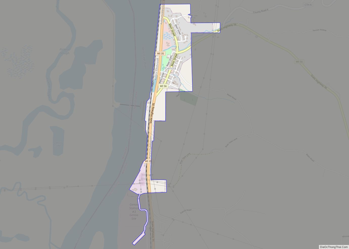
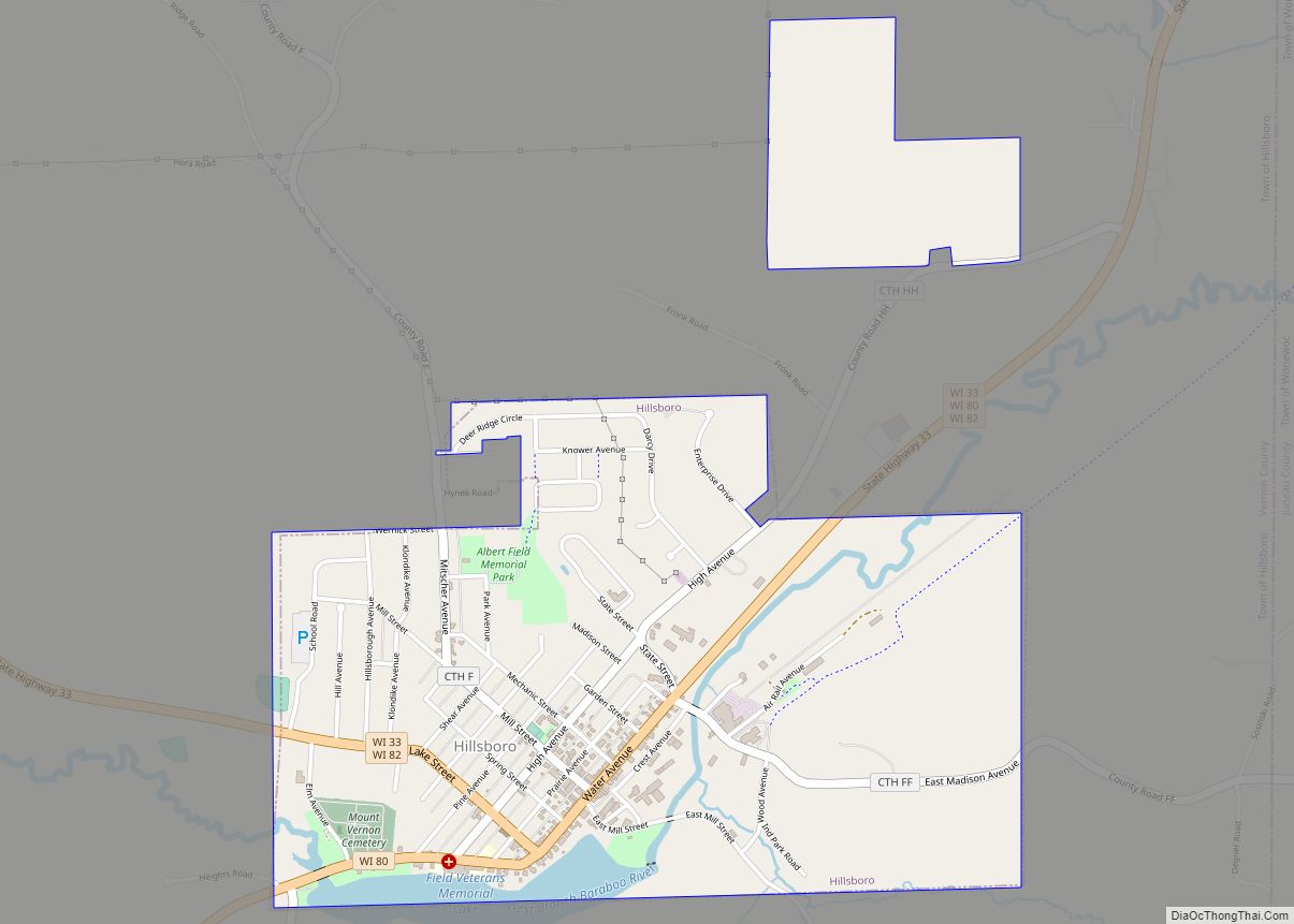
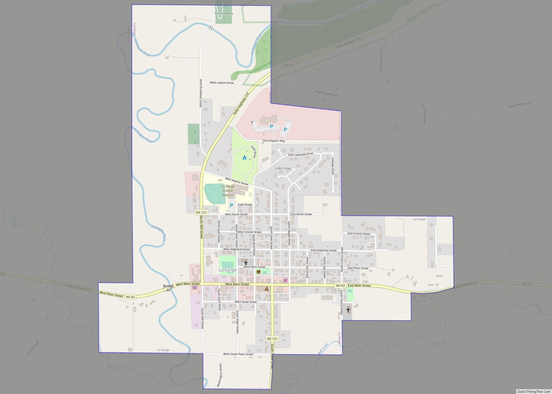
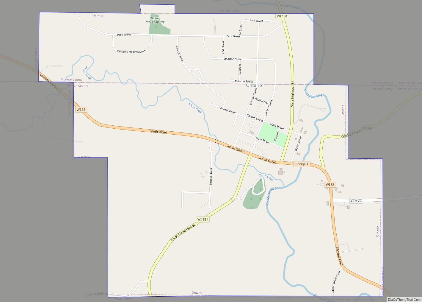
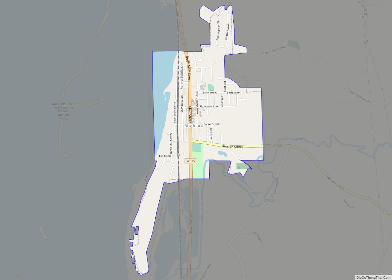
Online Interactive Map
Click on ![]() to view map in "full screen" mode.
to view map in "full screen" mode.
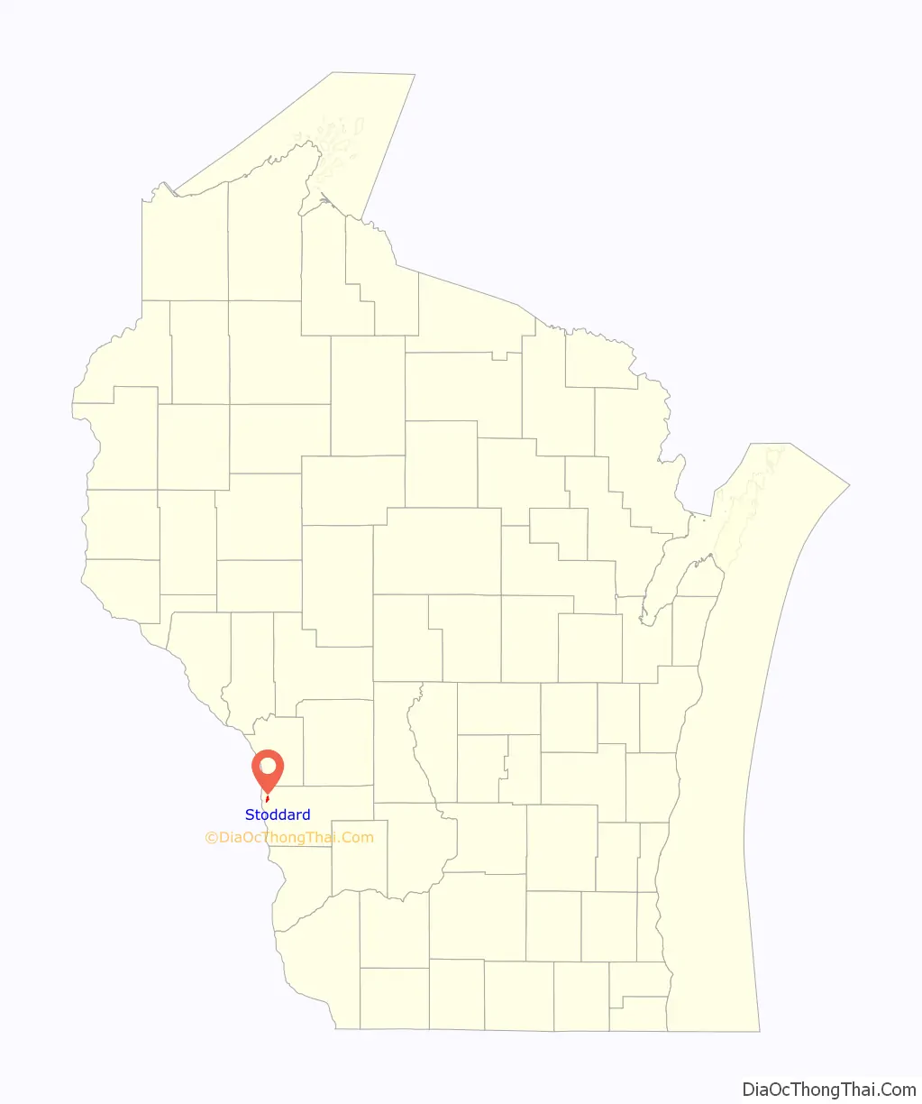
Stoddard location map. Where is Stoddard village?

History
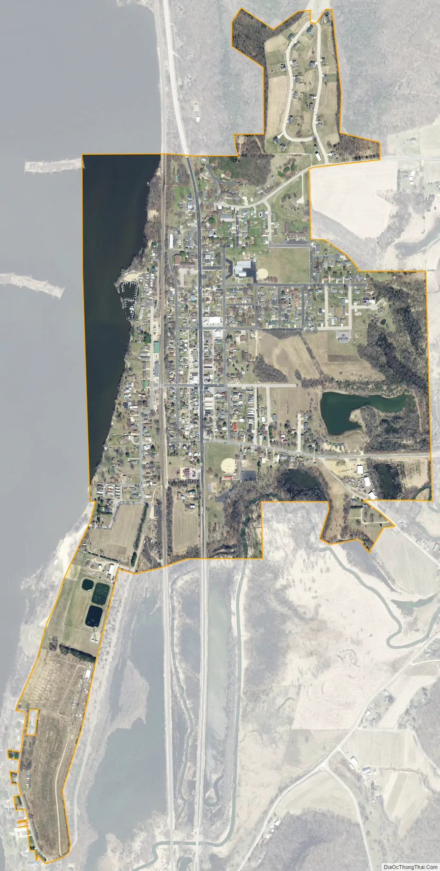
Stoddard was founded as a farming community. It is notable as one of the few communities along the Mississippi River that was never a trading post or a riverboat stop. The river was originally one mile west of Stoddard, but when Lock and Dam No. 8 was built in 1937, the ensuing lake flooded the lowlands, literally bringing the river to the town.
Stoddard Road Map
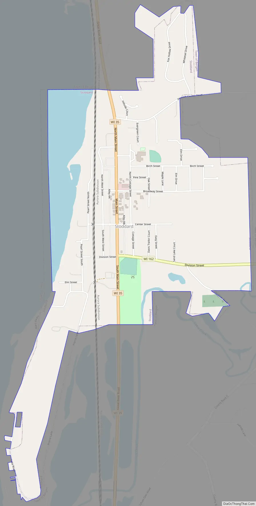
Stoddard city Satellite Map
Geography
Stoddard is located at 43°39′46″N 91°13′11″W / 43.66278°N 91.21972°W / 43.66278; -91.21972 (43.662889, -91.219745).
According to the United States Census Bureau, the village has a total area of 0.79 square miles (2.05 km), of which, 0.69 square miles (1.79 km) of it is land and 0.10 square miles (0.26 km) is water.
See also
Map of Wisconsin State and its subdivision:- Adams
- Ashland
- Barron
- Bayfield
- Brown
- Buffalo
- Burnett
- Calumet
- Chippewa
- Clark
- Columbia
- Crawford
- Dane
- Dodge
- Door
- Douglas
- Dunn
- Eau Claire
- Florence
- Fond du Lac
- Forest
- Grant
- Green
- Green Lake
- Iowa
- Iron
- Jackson
- Jefferson
- Juneau
- Kenosha
- Kewaunee
- La Crosse
- Lafayette
- Lake Michigan
- Lake Superior
- Langlade
- Lincoln
- Manitowoc
- Marathon
- Marinette
- Marquette
- Menominee
- Milwaukee
- Monroe
- Oconto
- Oneida
- Outagamie
- Ozaukee
- Pepin
- Pierce
- Polk
- Portage
- Price
- Racine
- Richland
- Rock
- Rusk
- Saint Croix
- Sauk
- Sawyer
- Shawano
- Sheboygan
- Taylor
- Trempealeau
- Vernon
- Vilas
- Walworth
- Washburn
- Washington
- Waukesha
- Waupaca
- Waushara
- Winnebago
- Wood
- Alabama
- Alaska
- Arizona
- Arkansas
- California
- Colorado
- Connecticut
- Delaware
- District of Columbia
- Florida
- Georgia
- Hawaii
- Idaho
- Illinois
- Indiana
- Iowa
- Kansas
- Kentucky
- Louisiana
- Maine
- Maryland
- Massachusetts
- Michigan
- Minnesota
- Mississippi
- Missouri
- Montana
- Nebraska
- Nevada
- New Hampshire
- New Jersey
- New Mexico
- New York
- North Carolina
- North Dakota
- Ohio
- Oklahoma
- Oregon
- Pennsylvania
- Rhode Island
- South Carolina
- South Dakota
- Tennessee
- Texas
- Utah
- Vermont
- Virginia
- Washington
- West Virginia
- Wisconsin
- Wyoming