Westby is a city in Vernon County, Wisconsin, United States. The population was 2,332 as of the 2020 census. The name “Westby” is a Norwegian name and literally translates to “Western city”.
| Name: | Westby city |
|---|---|
| LSAD Code: | 25 |
| LSAD Description: | city (suffix) |
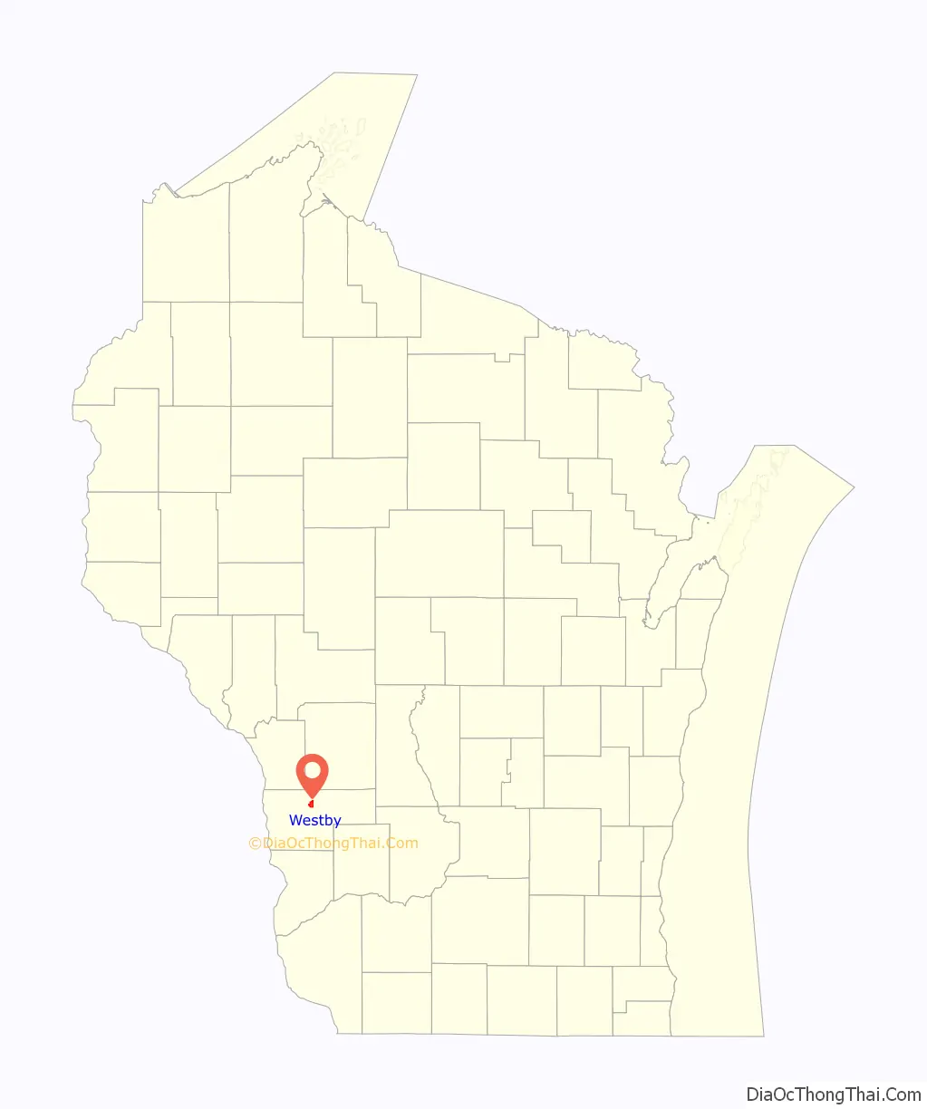
| State: | Wisconsin |
| County: | Vernon County |
| Incorporated: | 1896 |
| Elevation: | 1,299 ft (396 m) |
| Total Area: | 2.69 sq mi (6.98 km²) |
| Land Area: | 2.69 sq mi (6.96 km²) |
| Water Area: | 0.01 sq mi (0.02 km²) |
| Total Population: | 2,332 |
| Population Density: | 868.2/sq mi (335.2/km²) |
| ZIP code: | 54667 |
| Area code: | 608 |
| FIPS code: | 5585475 |
| GNISfeature ID: | 1576571 |
| Website: | https://www.cityofwestby.org |
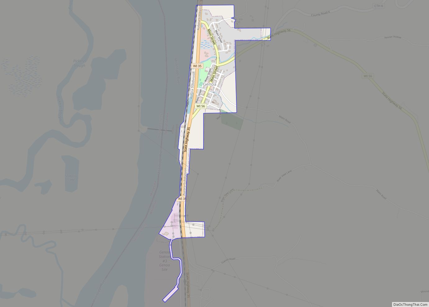
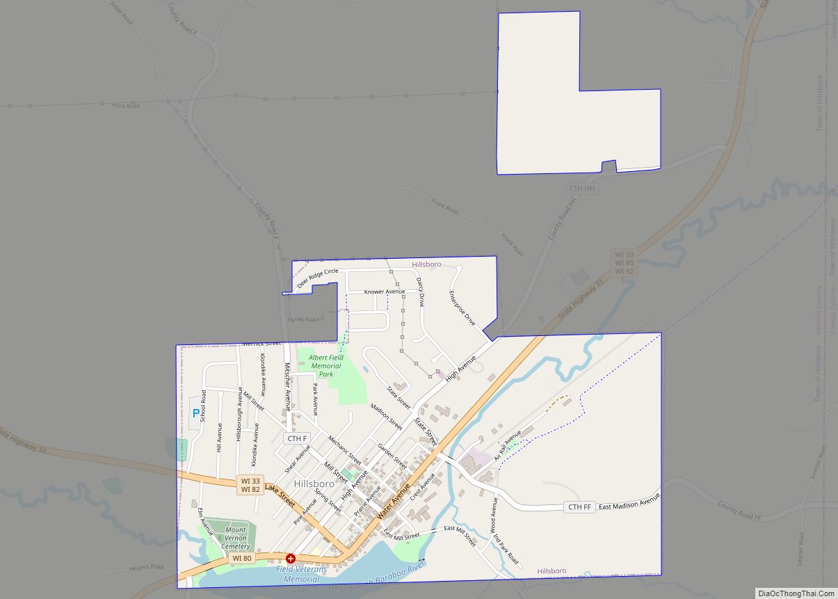
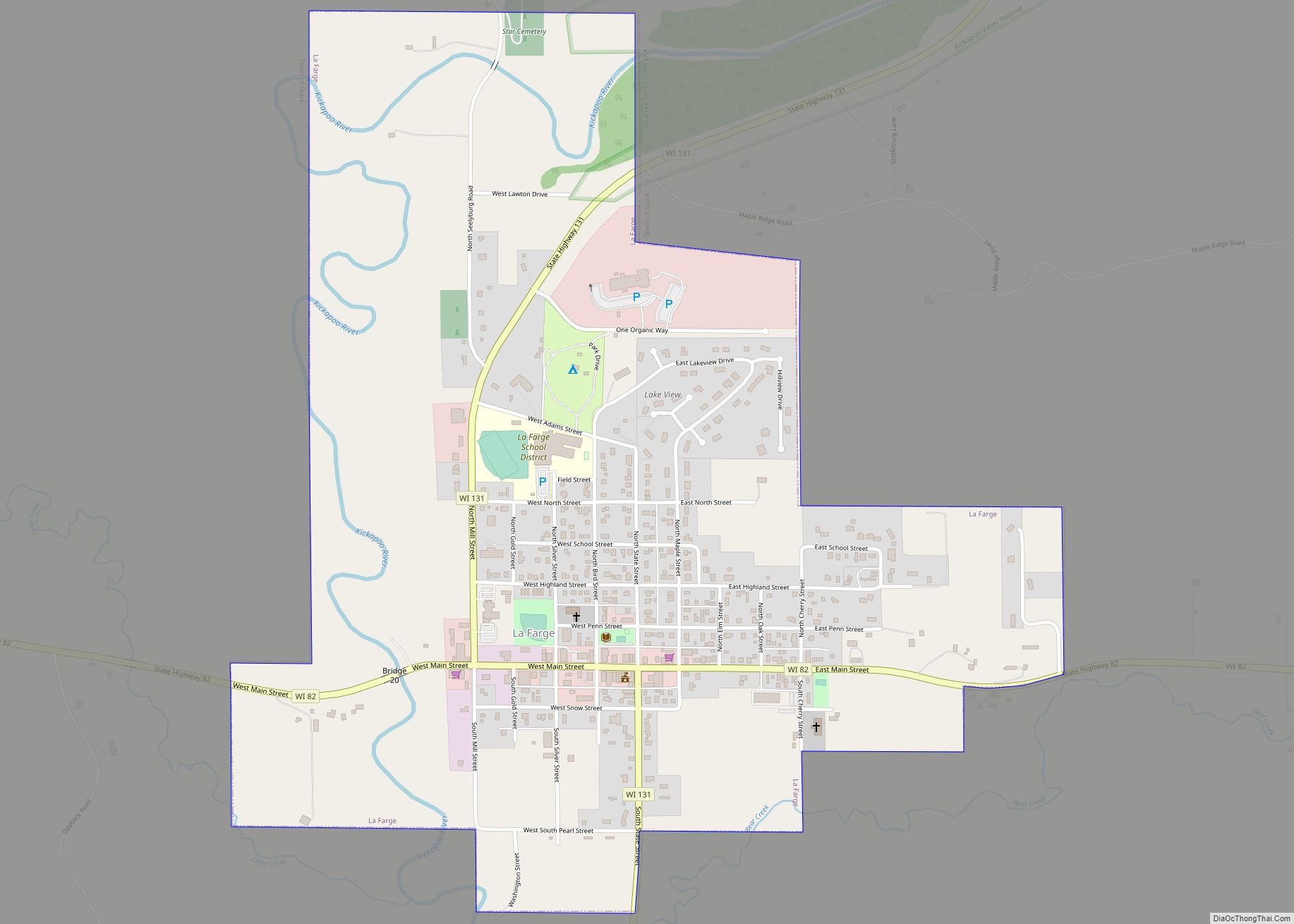
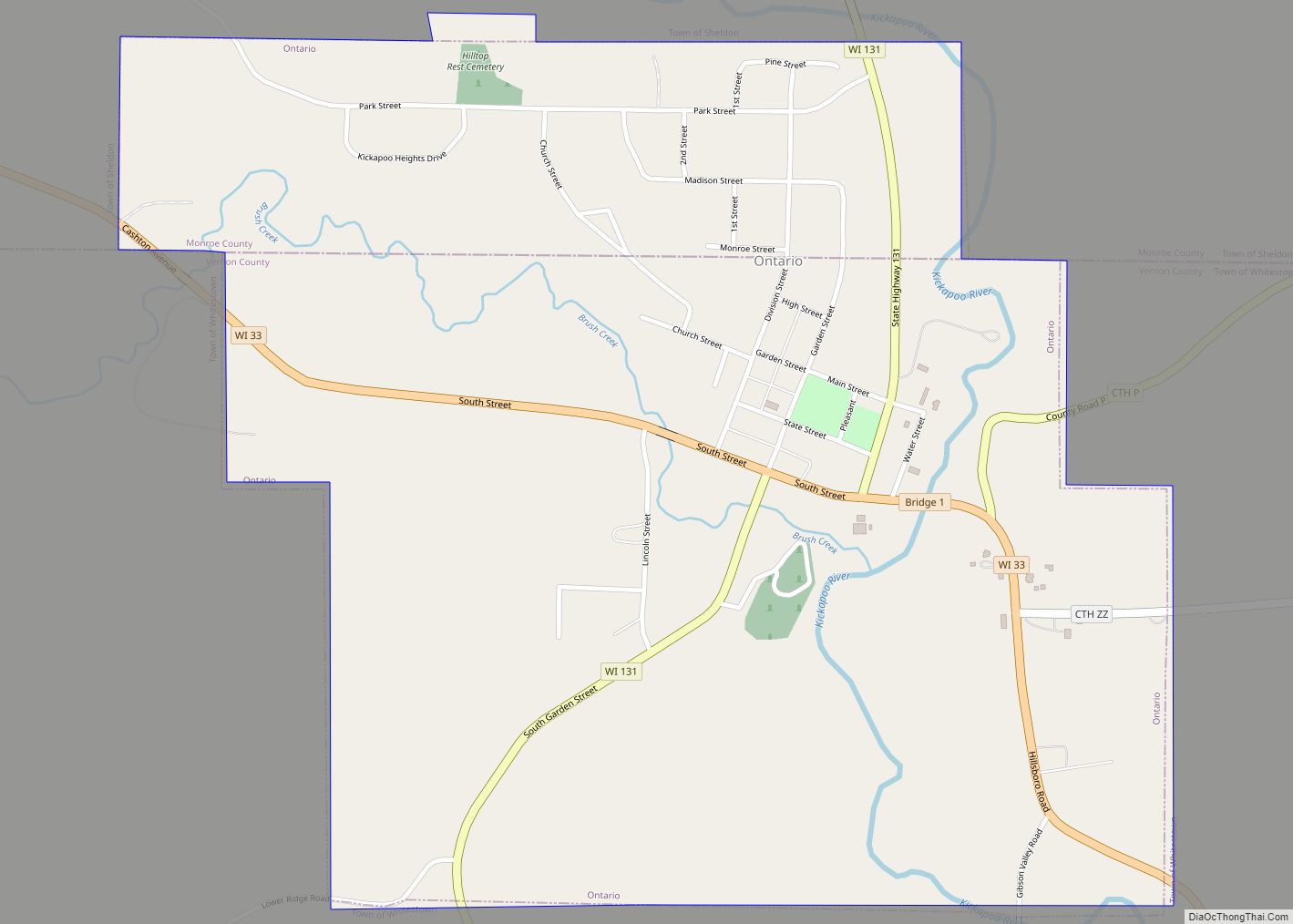
Online Interactive Map
Click on ![]() to view map in "full screen" mode.
to view map in "full screen" mode.
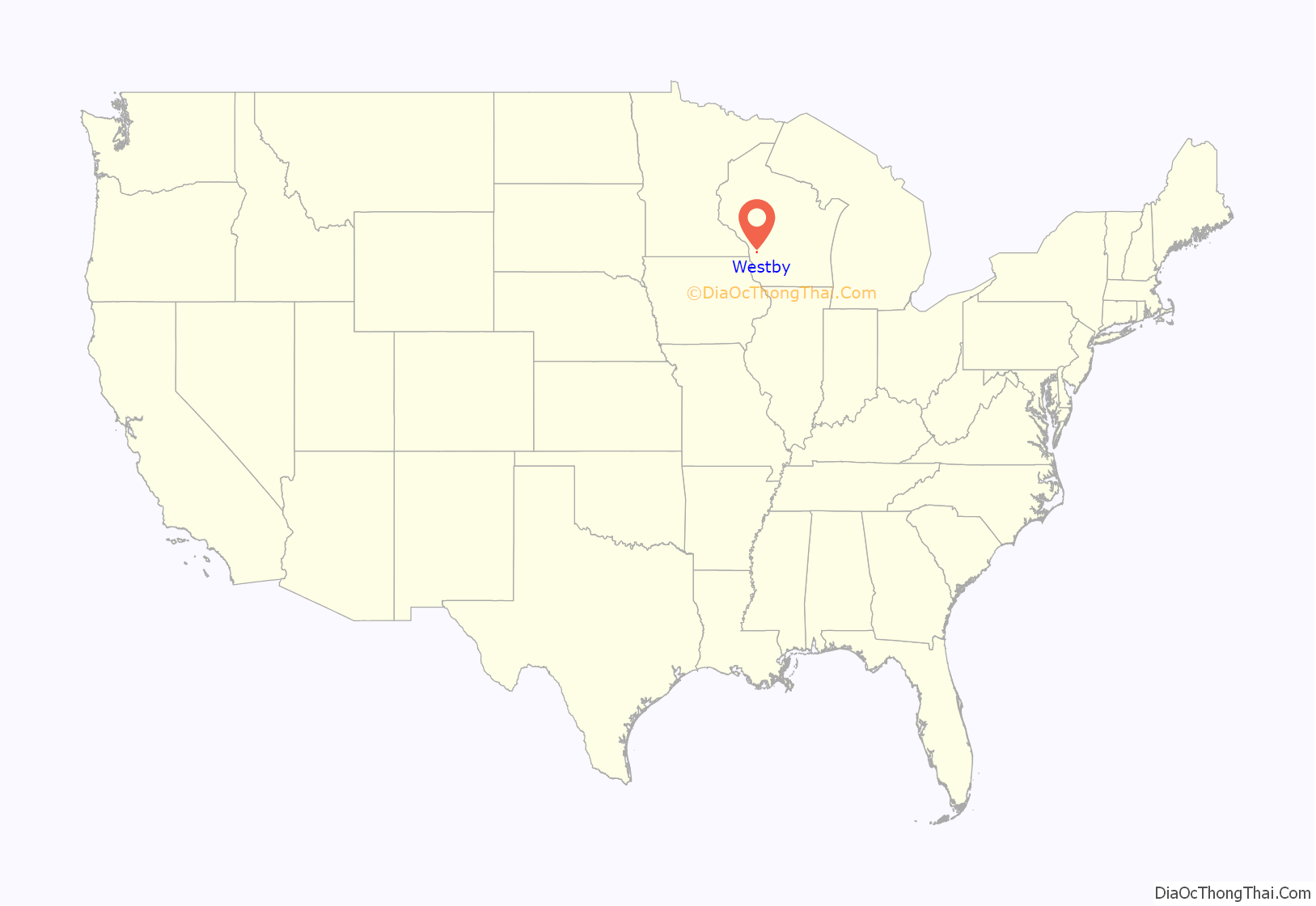
Westby location map. Where is Westby city?
History
Westby was named after general store owner and Civil War Union soldier Ole T. Westby of Biri, Norway, where many of the city’s Norwegian-American settlers originated. Westby Coon-Prairie Lutheran Church in Westby was established in 1851. The Chicago, Milwaukee, St. Paul and Pacific Railroad began servicing Westby and surrounding townships in August 1879, and the La Crosse and Southeastern Railroad began service to the area in January 1905, though both railroads have long since ceased local operations. The Westby depot was torn down in 1970.
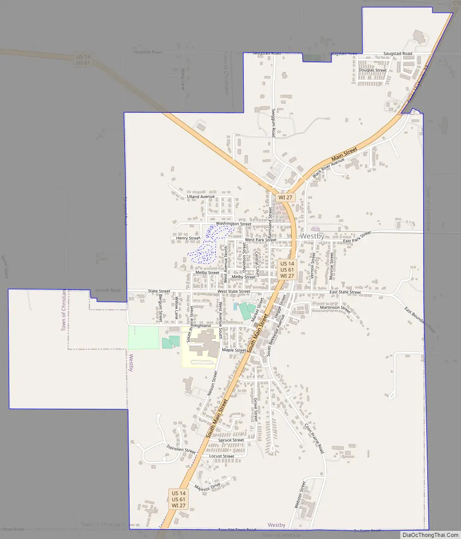
Westby Road Map
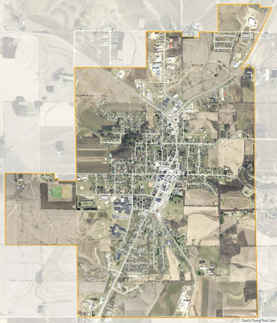
Westby city Satellite Map
Geography
Westby is located at 43°39′14″N 90°51′33″W / 43.65389°N 90.85917°W / 43.65389; -90.85917 (43.653861, -90.859034), at the headwaters of the Bad Axe River.
According to the United States Census Bureau, the city has a total area of 2.60 square miles (6.73 km), of which, 2.59 square miles (6.71 km) is land and 0.01 square miles (0.03 km) is water.
See also
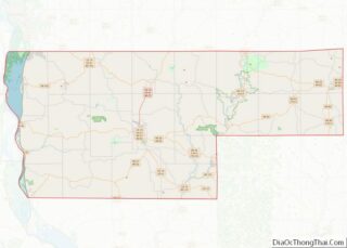
Map of Wisconsin State and its subdivision:- Adams
- Ashland
- Barron
- Bayfield
- Brown
- Buffalo
- Burnett
- Calumet
- Chippewa
- Clark
- Columbia
- Crawford
- Dane
- Dodge
- Door
- Douglas
- Dunn
- Eau Claire
- Florence
- Fond du Lac
- Forest
- Grant
- Green
- Green Lake
- Iowa
- Iron
- Jackson
- Jefferson
- Juneau
- Kenosha
- Kewaunee
- La Crosse
- Lafayette
- Lake Michigan
- Lake Superior
- Langlade
- Lincoln
- Manitowoc
- Marathon
- Marinette
- Marquette
- Menominee
- Milwaukee
- Monroe
- Oconto
- Oneida
- Outagamie
- Ozaukee
- Pepin
- Pierce
- Polk
- Portage
- Price
- Racine
- Richland
- Rock
- Rusk
- Saint Croix
- Sauk
- Sawyer
- Shawano
- Sheboygan
- Taylor
- Trempealeau
- Vernon
- Vilas
- Walworth
- Washburn
- Washington
- Waukesha
- Waupaca
- Waushara
- Winnebago
- Wood
- Alabama
- Alaska
- Arizona
- Arkansas
- California
- Colorado
- Connecticut
- Delaware
- District of Columbia
- Florida
- Georgia
- Hawaii
- Idaho
- Illinois
- Indiana
- Iowa
- Kansas
- Kentucky
- Louisiana
- Maine
- Maryland
- Massachusetts
- Michigan
- Minnesota
- Mississippi
- Missouri
- Montana
- Nebraska
- Nevada
- New Hampshire
- New Jersey
- New Mexico
- New York
- North Carolina
- North Dakota
- Ohio
- Oklahoma
- Oregon
- Pennsylvania
- Rhode Island
- South Carolina
- South Dakota
- Tennessee
- Texas
- Utah
- Vermont
- Virginia
- Washington
- West Virginia
- Wisconsin
- Wyoming