Weyauwega is a city in Waupaca County, Wisconsin, United States. The population was 1,900 at the 2010 census. The city is located mostly within the Town of Weyauwega, though it is politically independent of the town. Small portions extend north into the adjacent Town of Royalton. The city is commonly referred to as “Wega” by local residents. The name “Weyauwega” (/waɪ.əˈwiːɡə/ wy-ə-WEE-gə) is described by the Weyauwega Chamber of Commerce as potentially meaning “Here we rest” in a local indigenous language because the town’s origin was a stopping/resting point between two rivers when Native Americans had to portage their canoes. Given the local indigenous culture is described as Menominee the language may be the Menominee language if this etymology for Weyauwega is correct.
European colonist activity in the area began with a small building set up by fur traders, from which the town later grew.
| Name: | Weyauwega city |
|---|---|
| LSAD Code: | 25 |
| LSAD Description: | city (suffix) |
| State: | Wisconsin |
| County: | Waupaca County |
| Total Area: | 1.66 sq mi (4.30 km²) |
| Land Area: | 1.54 sq mi (3.98 km²) |
| Water Area: | 0.12 sq mi (0.32 km²) |
| Total Population: | 1,900 |
| Population Density: | 1,146.48/sq mi (442.71/km²) |
| ZIP code: | 54983 |
| Area code: | 920 |
| FIPS code: | 5586400 |
| Website: | www.cityofweyauwega-wi.gov |
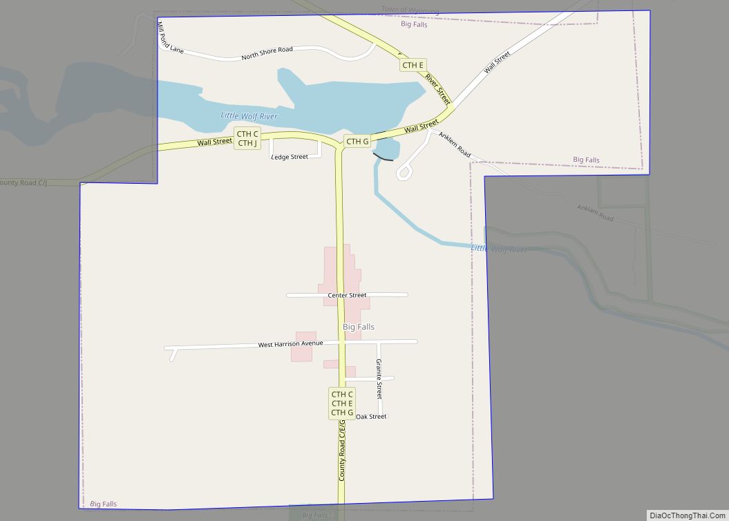
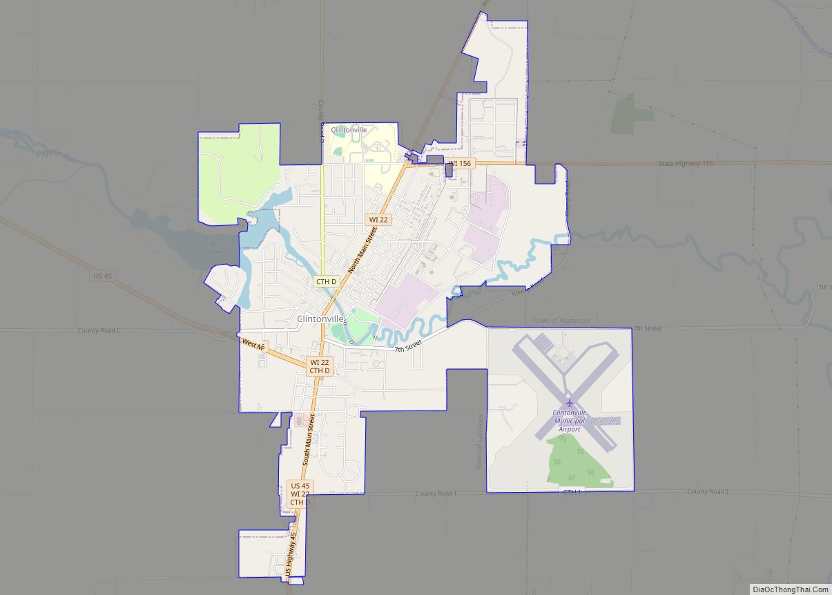
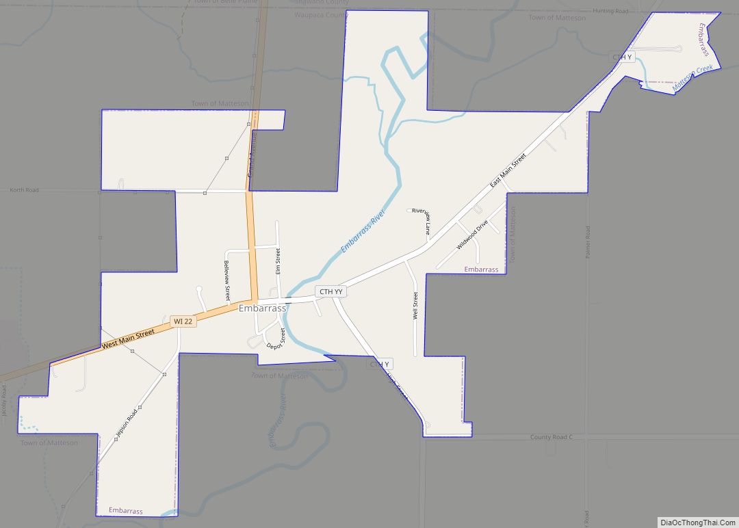
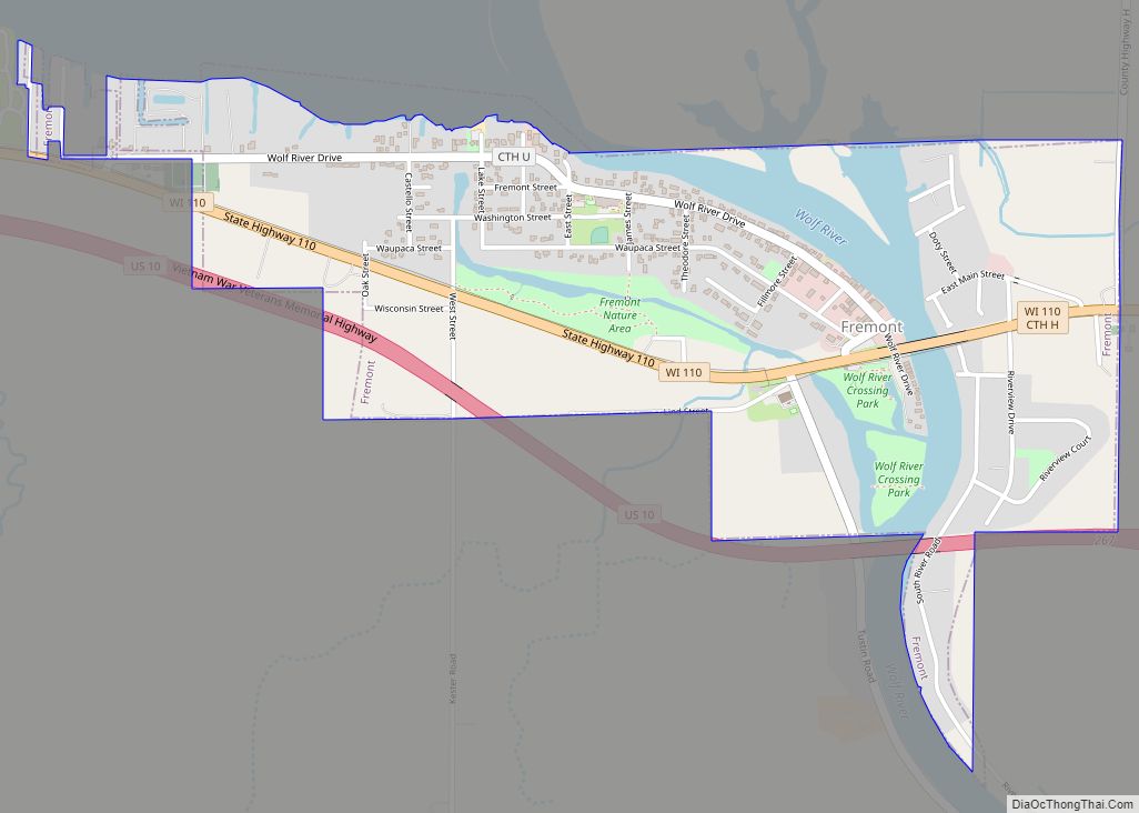
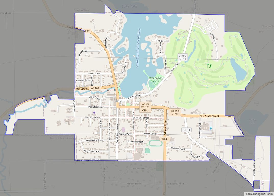
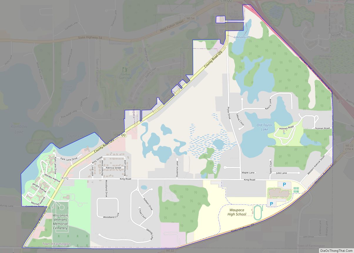
Online Interactive Map
Click on ![]() to view map in "full screen" mode.
to view map in "full screen" mode.
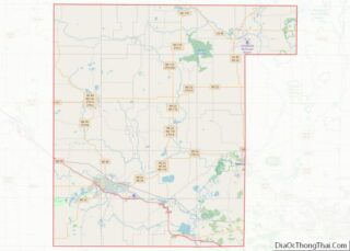
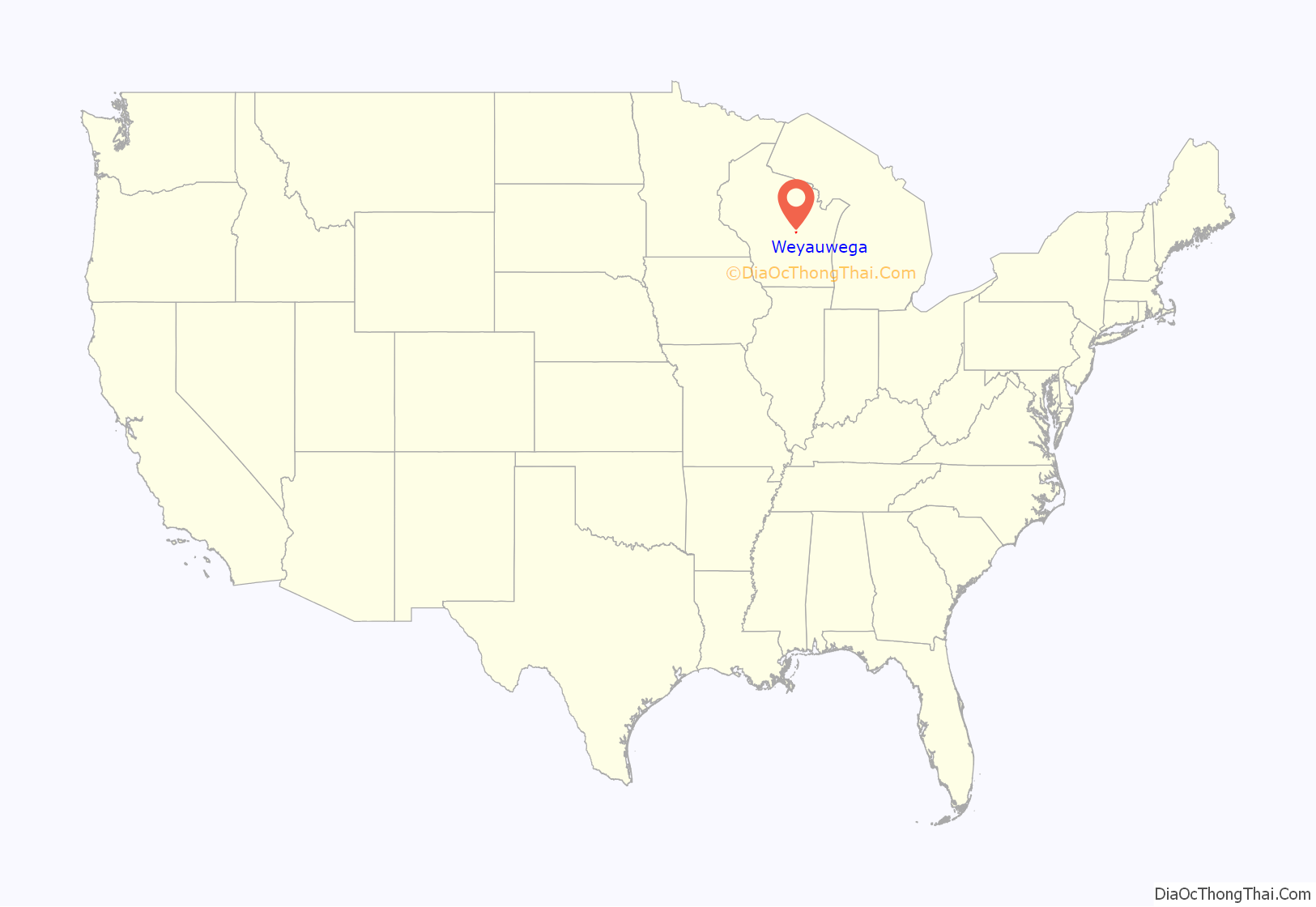
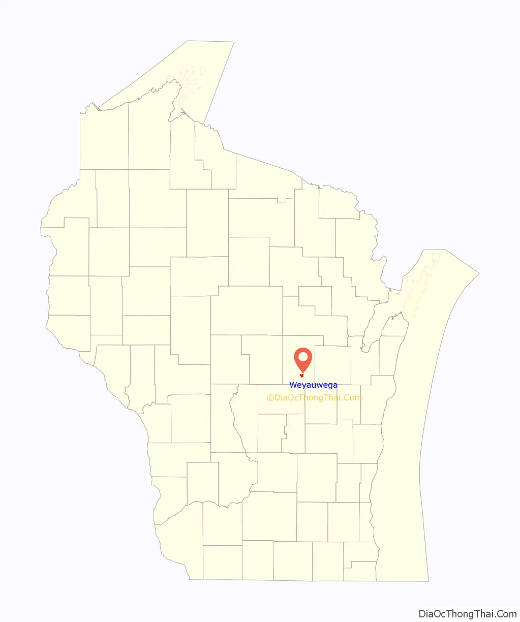
Weyauwega location map. Where is Weyauwega city?
History
Weyauwega has been host to the annual event Horse and Buggy Days since 1961. The event celebrates the past significance of the horse and buggy in the community. The event is presented by the Weyauwega Chamber of Commerce and features a parade, music and other activities.
The Waupaca County Fair has been held in Weyauwega since 1874 at the Waupaca County Fairgrounds at the East end of the City of Weyauwega.
In 1996 An 81-car freight train derailed causing a large fire and several explosions from the hazardous materials in the train cars, prompting an evacuation of the town for two weeks until the fires burned out.
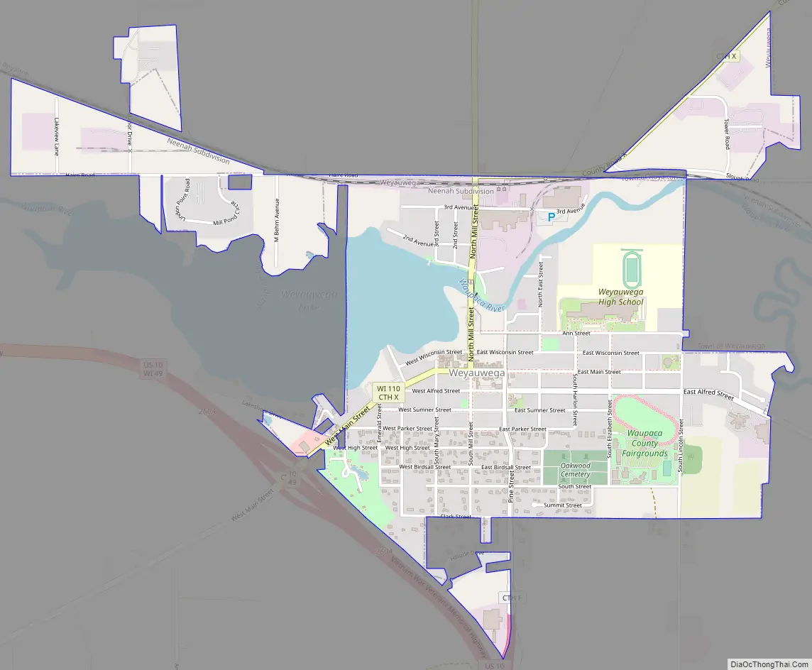
Weyauwega Road Map
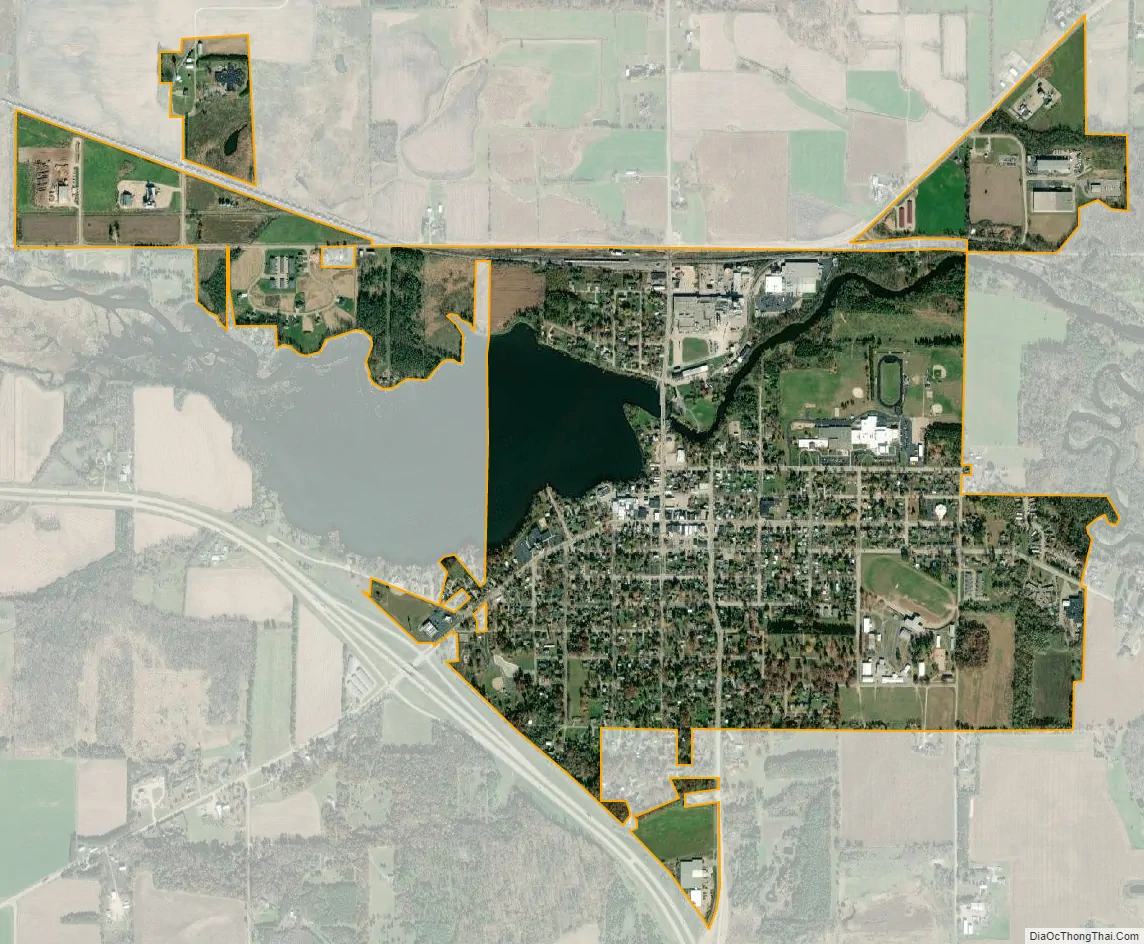
Weyauwega city Satellite Map
Geography
Weyauwega is located at 44°19′N 88°56′W / 44.317°N 88.933°W / 44.317; -88.933 (44.322, -88.933).
According to the United States Census Bureau, the city has a total area of 1.71 square miles (4.43 km), of which, 1.58 square miles (4.09 km) is land and 0.13 square miles (0.34 km) is water.
See also
Map of Wisconsin State and its subdivision:- Adams
- Ashland
- Barron
- Bayfield
- Brown
- Buffalo
- Burnett
- Calumet
- Chippewa
- Clark
- Columbia
- Crawford
- Dane
- Dodge
- Door
- Douglas
- Dunn
- Eau Claire
- Florence
- Fond du Lac
- Forest
- Grant
- Green
- Green Lake
- Iowa
- Iron
- Jackson
- Jefferson
- Juneau
- Kenosha
- Kewaunee
- La Crosse
- Lafayette
- Lake Michigan
- Lake Superior
- Langlade
- Lincoln
- Manitowoc
- Marathon
- Marinette
- Marquette
- Menominee
- Milwaukee
- Monroe
- Oconto
- Oneida
- Outagamie
- Ozaukee
- Pepin
- Pierce
- Polk
- Portage
- Price
- Racine
- Richland
- Rock
- Rusk
- Saint Croix
- Sauk
- Sawyer
- Shawano
- Sheboygan
- Taylor
- Trempealeau
- Vernon
- Vilas
- Walworth
- Washburn
- Washington
- Waukesha
- Waupaca
- Waushara
- Winnebago
- Wood
- Alabama
- Alaska
- Arizona
- Arkansas
- California
- Colorado
- Connecticut
- Delaware
- District of Columbia
- Florida
- Georgia
- Hawaii
- Idaho
- Illinois
- Indiana
- Iowa
- Kansas
- Kentucky
- Louisiana
- Maine
- Maryland
- Massachusetts
- Michigan
- Minnesota
- Mississippi
- Missouri
- Montana
- Nebraska
- Nevada
- New Hampshire
- New Jersey
- New Mexico
- New York
- North Carolina
- North Dakota
- Ohio
- Oklahoma
- Oregon
- Pennsylvania
- Rhode Island
- South Carolina
- South Dakota
- Tennessee
- Texas
- Utah
- Vermont
- Virginia
- Washington
- West Virginia
- Wisconsin
- Wyoming