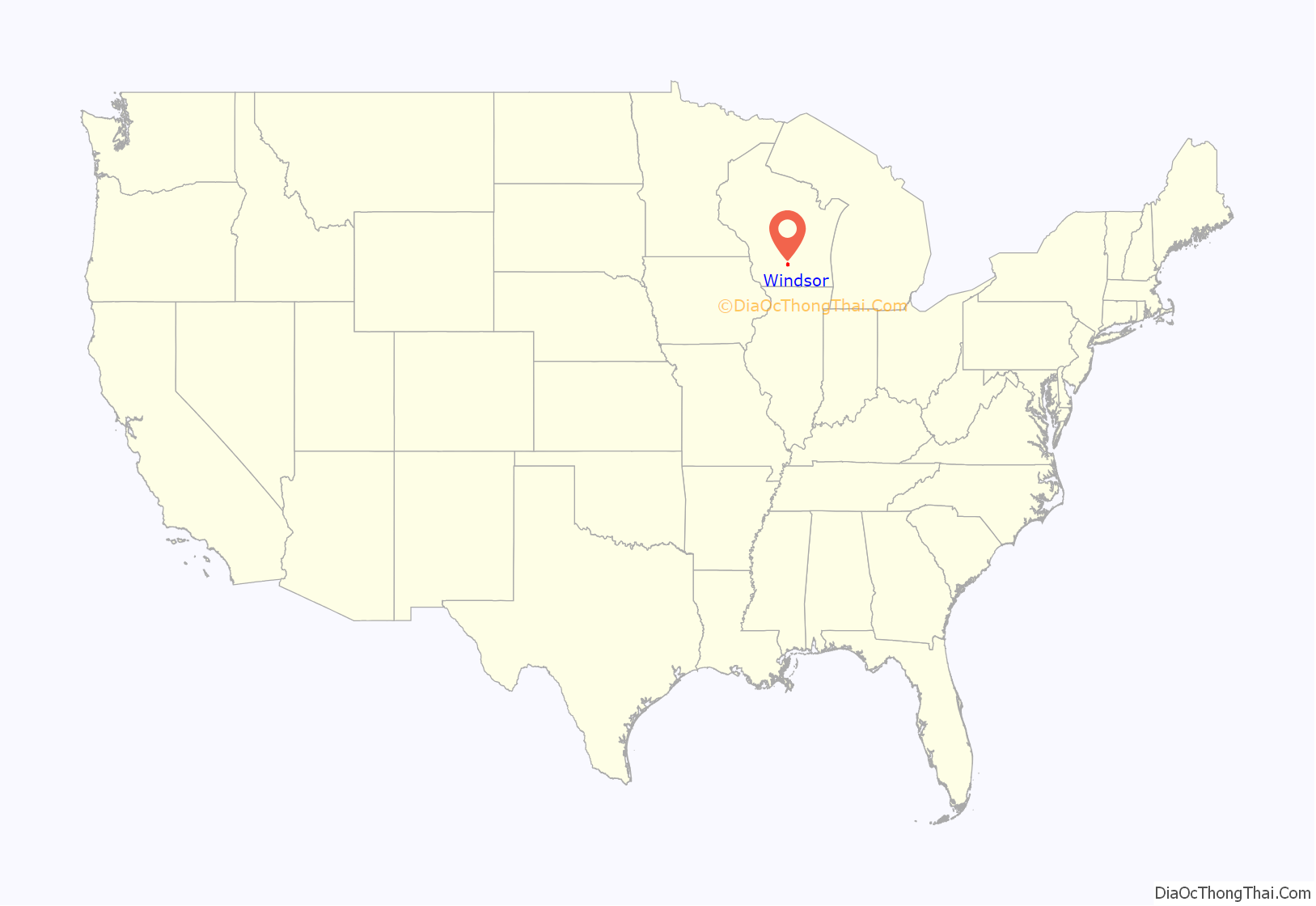
Windsor is a village and former town in Dane County, Wisconsin. The population was 8,754 at the time of the 2020 census. The communities of Lake Windsor, Morrisonville, and Token Creek are located within the village. Windsor voted to incorporate as a village on November 3, 2015; prior to its incorporation, it was a town, and a portion of the town was a census-designated place. Windsor is a part of the Census Bureau’s Madison metropolitan statistical area.
A portion of the former town was part of a disputed annexation by the Village of DeForest. In July 2004, the village and town reached a settlement in which part of the disputed area would be annexed by the village and part would remain with the town. In addition, the town and village agreed to exchange other less populated land.
| Name: | Windsor village |
|---|---|
| LSAD Code: | 47 |
| LSAD Description: | village (suffix) |
| State: | Wisconsin |
| County: | Dane County |
| Elevation: | 1,033 ft (315 m) |
| Total Area: | 27.67 sq mi (71.67 km²) |
| Land Area: | 27.56 sq mi (71.39 km²) |
| Water Area: | 0.11 sq mi (0.28 km²) |
| Total Population: | 8,754 |
| Population Density: | 277.32/sq mi (107.07/km²) |
| Area code: | 608 |
| FIPS code: | 5587725 |
| GNISfeature ID: | 1584454 |
| Website: | www.windsorwi.gov |
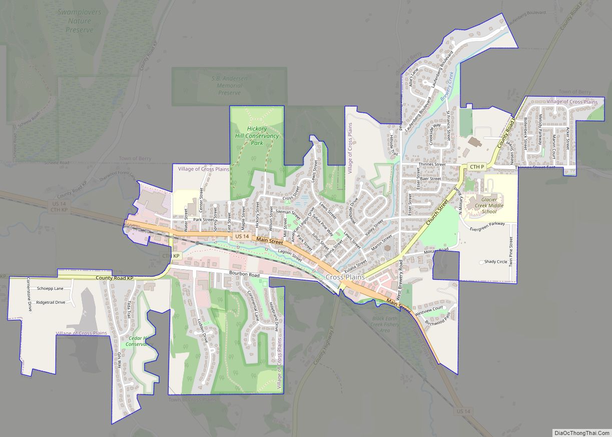
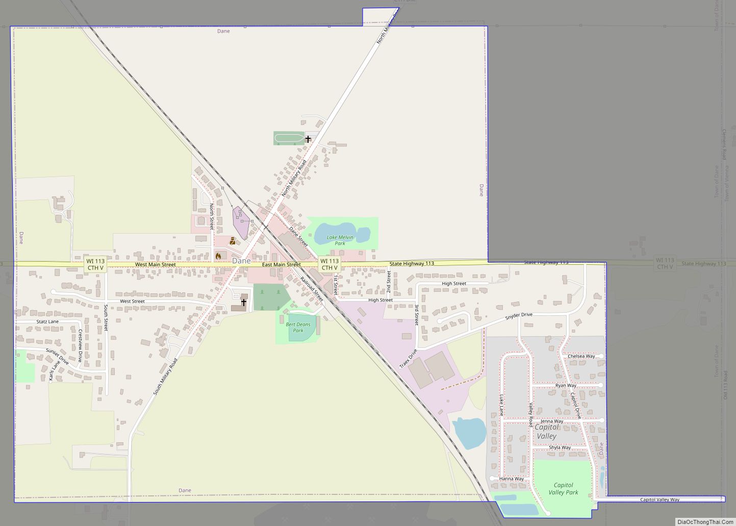
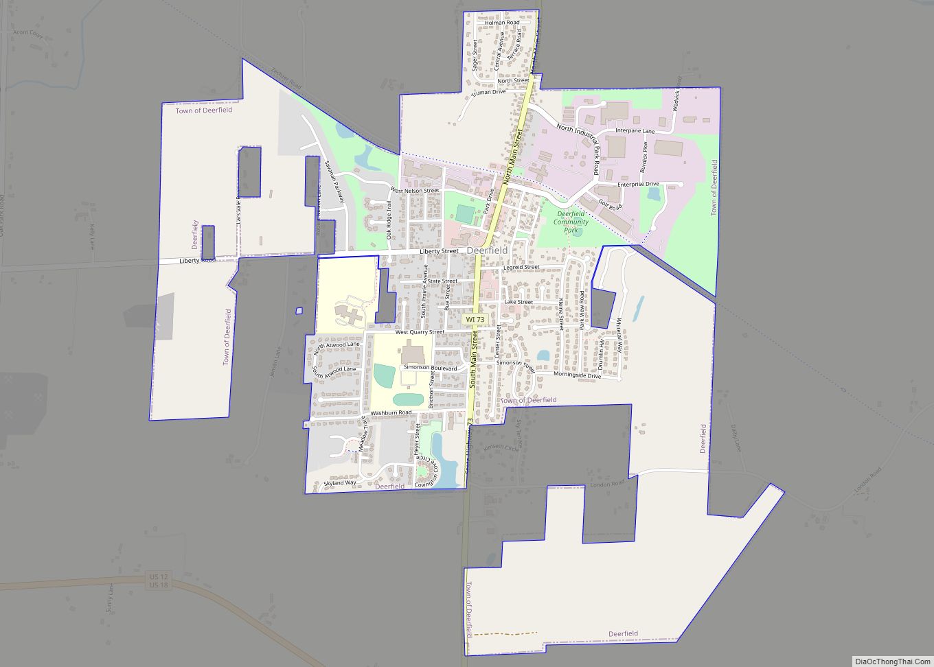
Online Interactive Map
Click on ![]() to view map in "full screen" mode.
to view map in "full screen" mode.
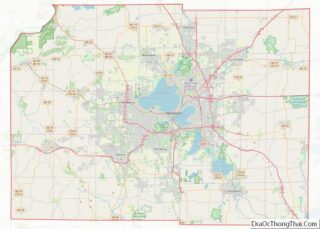
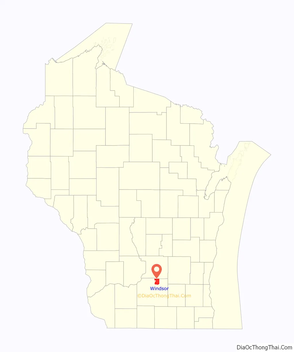
Windsor location map. Where is Windsor village?
History
While visited in the late 1830s, the first settler to the town was William Lawrence, who came from the state of Vermont in 1841. He later served in the Civil War. James Morrison settled in the town in 1843 at what is now Morrisonville.
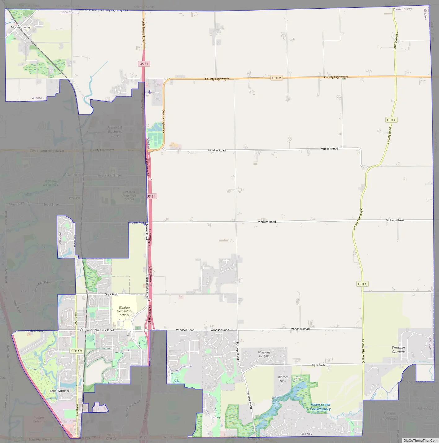
Windsor Road Map
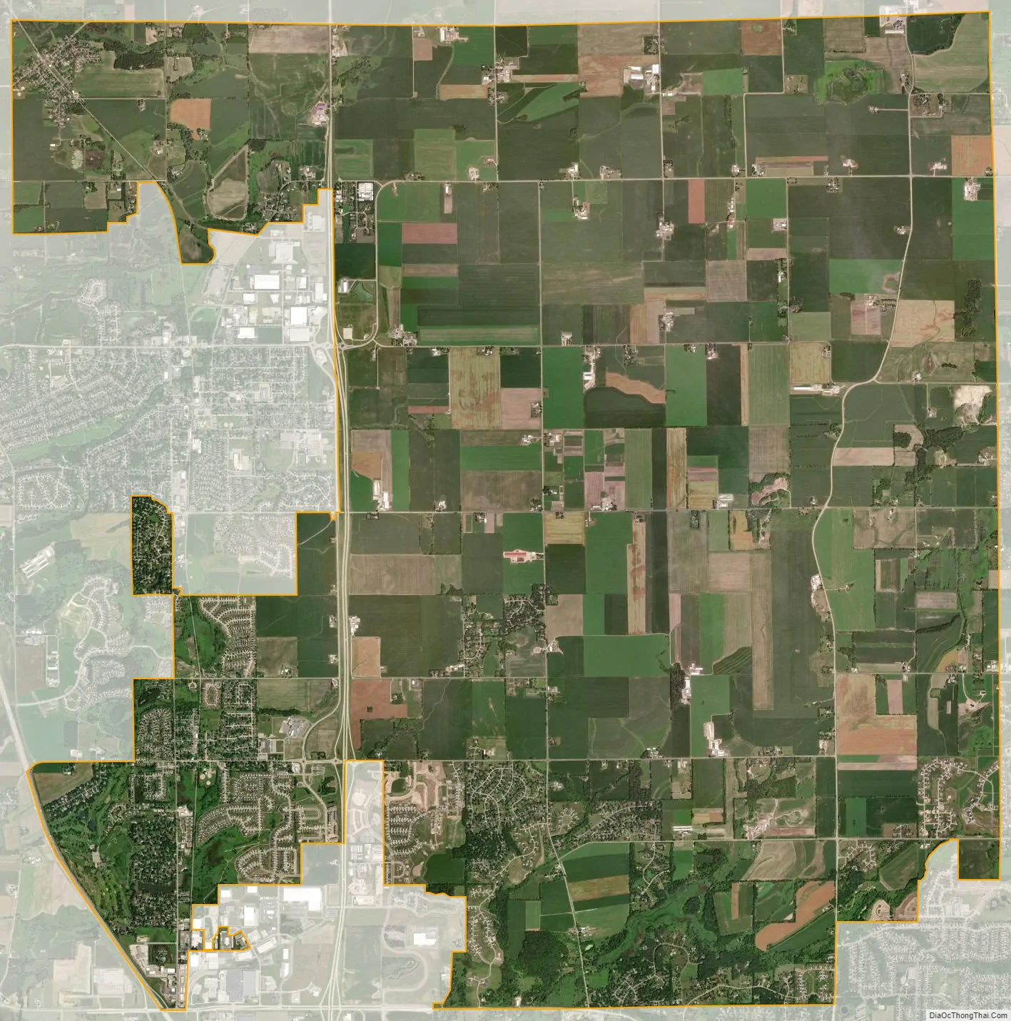
Windsor city Satellite Map
Geography
According to the United States Census Bureau, the town has a total area of 30.8 square miles (79.9 km), of which, 30.7 square miles (79.6 km) of it is land and 0.1 square miles (0.3 km) of it (0.32%) is water.
See also
Map of Wisconsin State and its subdivision:- Adams
- Ashland
- Barron
- Bayfield
- Brown
- Buffalo
- Burnett
- Calumet
- Chippewa
- Clark
- Columbia
- Crawford
- Dane
- Dodge
- Door
- Douglas
- Dunn
- Eau Claire
- Florence
- Fond du Lac
- Forest
- Grant
- Green
- Green Lake
- Iowa
- Iron
- Jackson
- Jefferson
- Juneau
- Kenosha
- Kewaunee
- La Crosse
- Lafayette
- Lake Michigan
- Lake Superior
- Langlade
- Lincoln
- Manitowoc
- Marathon
- Marinette
- Marquette
- Menominee
- Milwaukee
- Monroe
- Oconto
- Oneida
- Outagamie
- Ozaukee
- Pepin
- Pierce
- Polk
- Portage
- Price
- Racine
- Richland
- Rock
- Rusk
- Saint Croix
- Sauk
- Sawyer
- Shawano
- Sheboygan
- Taylor
- Trempealeau
- Vernon
- Vilas
- Walworth
- Washburn
- Washington
- Waukesha
- Waupaca
- Waushara
- Winnebago
- Wood
- Alabama
- Alaska
- Arizona
- Arkansas
- California
- Colorado
- Connecticut
- Delaware
- District of Columbia
- Florida
- Georgia
- Hawaii
- Idaho
- Illinois
- Indiana
- Iowa
- Kansas
- Kentucky
- Louisiana
- Maine
- Maryland
- Massachusetts
- Michigan
- Minnesota
- Mississippi
- Missouri
- Montana
- Nebraska
- Nevada
- New Hampshire
- New Jersey
- New Mexico
- New York
- North Carolina
- North Dakota
- Ohio
- Oklahoma
- Oregon
- Pennsylvania
- Rhode Island
- South Carolina
- South Dakota
- Tennessee
- Texas
- Utah
- Vermont
- Virginia
- Washington
- West Virginia
- Wisconsin
- Wyoming