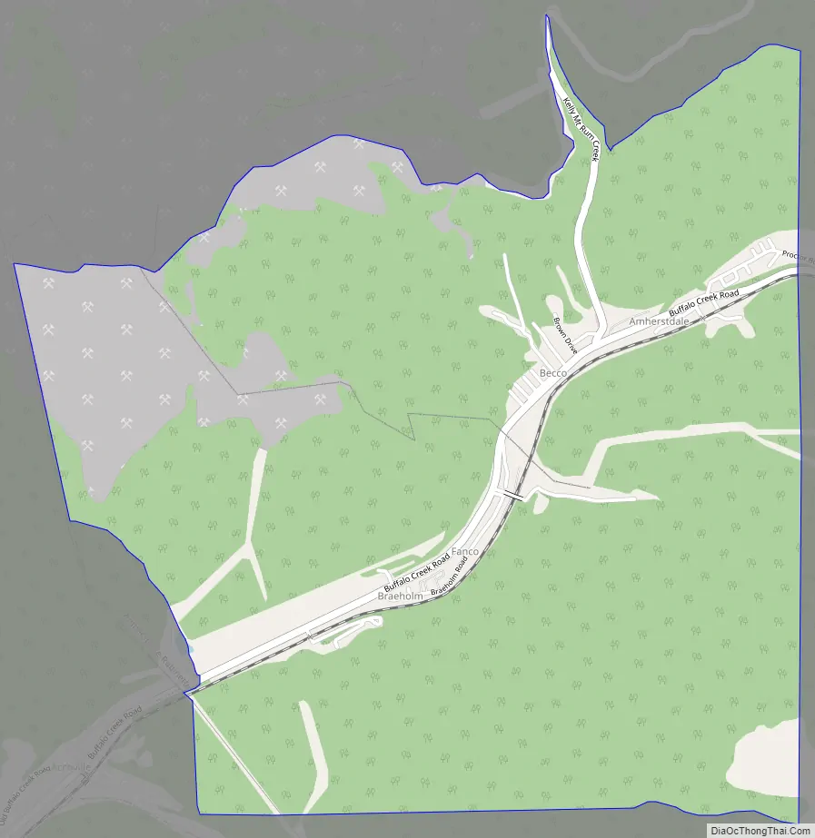
Amherstdale is a census-designated place (CDP) in Logan County, West Virginia, United States, situated along Buffalo Creek. The CDP includes the unincorporated communities of Amherstdale, Becco, Fanco, and Braeholm. The CDP population was 350 as of the 2010 census.
Prior to 2010, Amherstdale was part of the Amherstdale-Robinette CDP. Amherstdale has a post office with ZIP code 25607.
Amherstdale was also affected by the Buffalo Creek flood disaster which killed, injured, and left thousands homeless.
| Name: | Amherstdale CDP |
|---|---|
| LSAD Code: | 57 |
| LSAD Description: | CDP (suffix) |
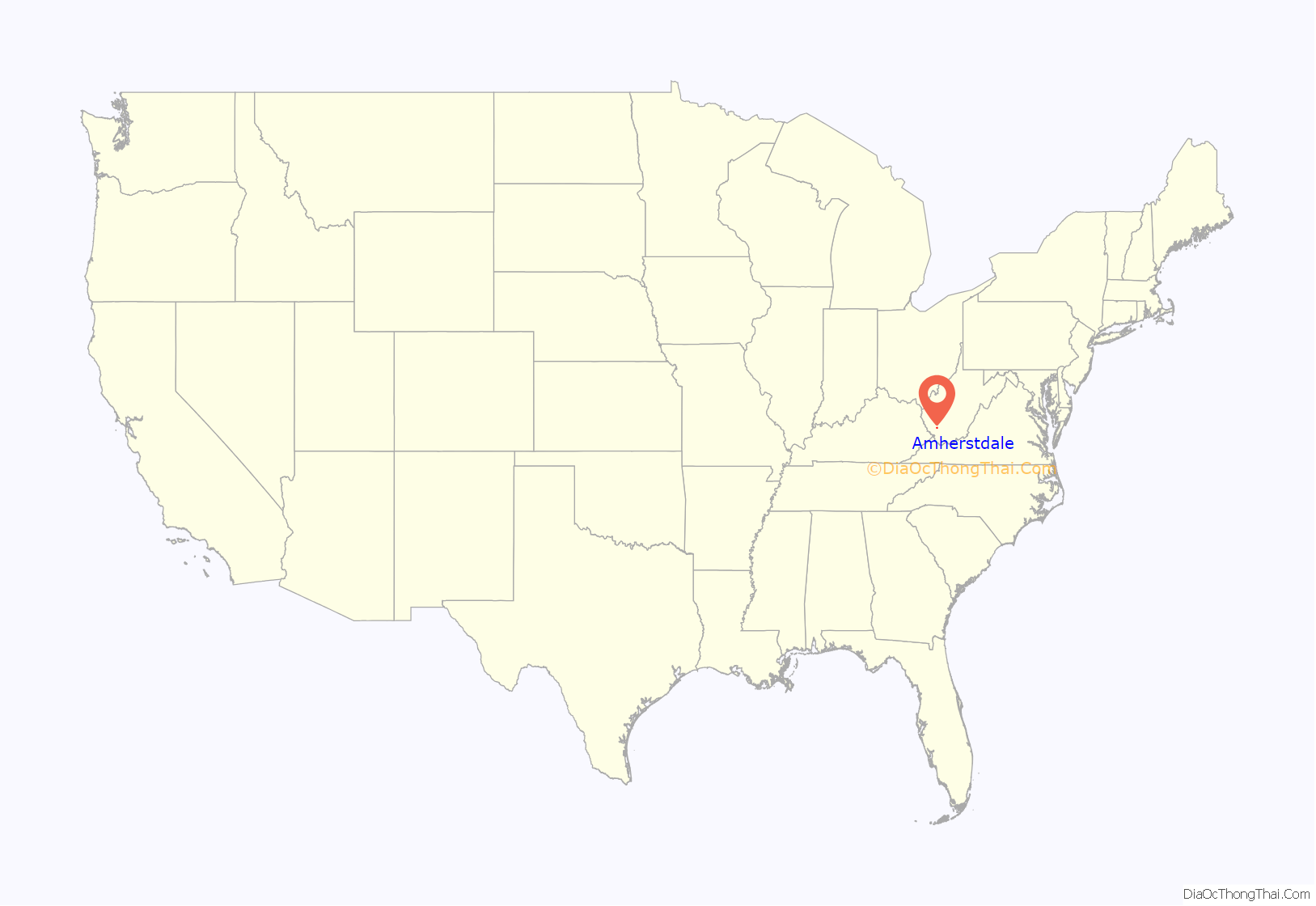
| State: | West Virginia |
| County: | Logan County |
| Elevation: | 896 ft (273 m) |
| Total Area: | 3.01 sq mi (7.79 km²) |
| Land Area: | 2.99 sq mi (7.75 km²) |
| Water Area: | 0.02 sq mi (0.05 km²) |
| Total Population: | 350 |
| Population Density: | 117/sq mi (45.2/km²) |
| ZIP code: | 25607 |
| FIPS code: | 5401660 |
| GNISfeature ID: | 1534919 |
Online Interactive Map
Click on ![]() to view map in "full screen" mode.
to view map in "full screen" mode.
Amherstdale location map. Where is Amherstdale CDP?
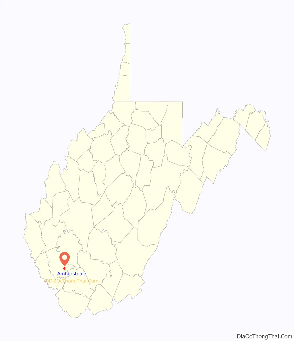
Amherstdale Road Map
Amherstdale city Satellite Map

Geography
Amherstdale is in southeastern Logan County, in the valley of Buffalo Creek. It is bordered to the west and south by the Accoville CDP and to the east by Robinette. By road, Amherstdale is 5.5 miles (8.9 km) northeast of Man, at the confluence of Buffalo Creek with the Guyandotte River, and 9 miles (14 km) west of Saunders at the head of the Buffalo Creek valley.
According to the U.S. Census Bureau, the Amherstdale CDP has a total area of 3.0 square miles (7.8 km), of which 0.02 square miles (0.05 km), or 0.59%, are water.
See also
Map of West Virginia State and its subdivision:- Barbour
- Berkeley
- Boone
- Braxton
- Brooke
- Cabell
- Calhoun
- Clay
- Doddridge
- Fayette
- Gilmer
- Grant
- Greenbrier
- Hampshire
- Hancock
- Hardy
- Harrison
- Jackson
- Jefferson
- Kanawha
- Lewis
- Lincoln
- Logan
- Marion
- Marshall
- Mason
- McDowell
- Mercer
- Mineral
- Mingo
- Monongalia
- Monroe
- Morgan
- Nicholas
- Ohio
- Pendleton
- Pleasants
- Pocahontas
- Preston
- Putnam
- Raleigh
- Randolph
- Ritchie
- Roane
- Summers
- Taylor
- Tucker
- Tyler
- Upshur
- Wayne
- Webster
- Wetzel
- Wirt
- Wood
- Wyoming
- Alabama
- Alaska
- Arizona
- Arkansas
- California
- Colorado
- Connecticut
- Delaware
- District of Columbia
- Florida
- Georgia
- Hawaii
- Idaho
- Illinois
- Indiana
- Iowa
- Kansas
- Kentucky
- Louisiana
- Maine
- Maryland
- Massachusetts
- Michigan
- Minnesota
- Mississippi
- Missouri
- Montana
- Nebraska
- Nevada
- New Hampshire
- New Jersey
- New Mexico
- New York
- North Carolina
- North Dakota
- Ohio
- Oklahoma
- Oregon
- Pennsylvania
- Rhode Island
- South Carolina
- South Dakota
- Tennessee
- Texas
- Utah
- Vermont
- Virginia
- Washington
- West Virginia
- Wisconsin
- Wyoming


