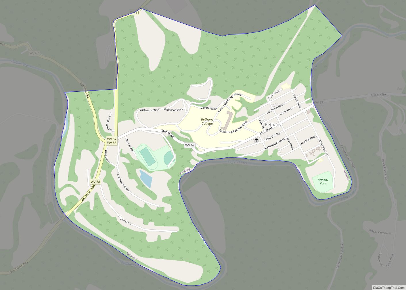
Bethany is a town in southern Brooke County, West Virginia, United States. The population was 756 at the 2020 census. It is part of the Weirton–Steubenville metropolitan area. It is best known as the home of Bethany College, a private liberal arts college that was the first institution of higher education in what is now West Virginia.
| Name: | Bethany town |
|---|---|
| LSAD Code: | 43 |
| LSAD Description: | town (suffix) |
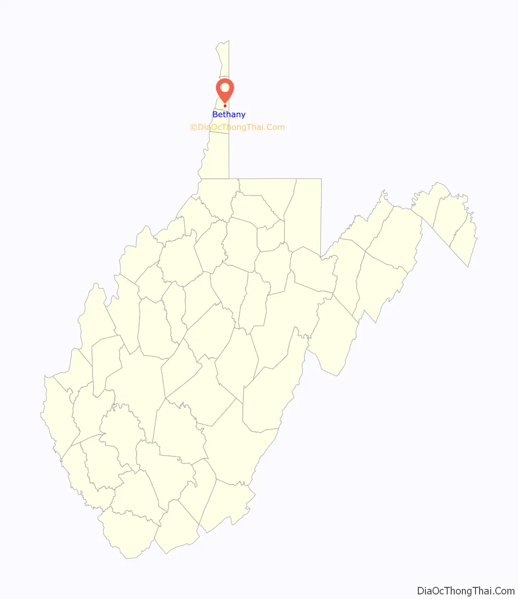
| State: | West Virginia |
| County: | Brooke County |
| Elevation: | 846 ft (258 m) |
| Total Area: | 0.73 sq mi (1.90 km²) |
| Land Area: | 0.73 sq mi (1.90 km²) |
| Water Area: | 0.00 sq mi (0.01 km²) |
| Total Population: | 756 |
| Population Density: | 1,094.13/sq mi (422.67/km²) |
| ZIP code: | 26032 |
| Area code: | 304 |
| FIPS code: | 5406844 |
| GNISfeature ID: | 1553875 |
| Website: | www.bethanywv.org |
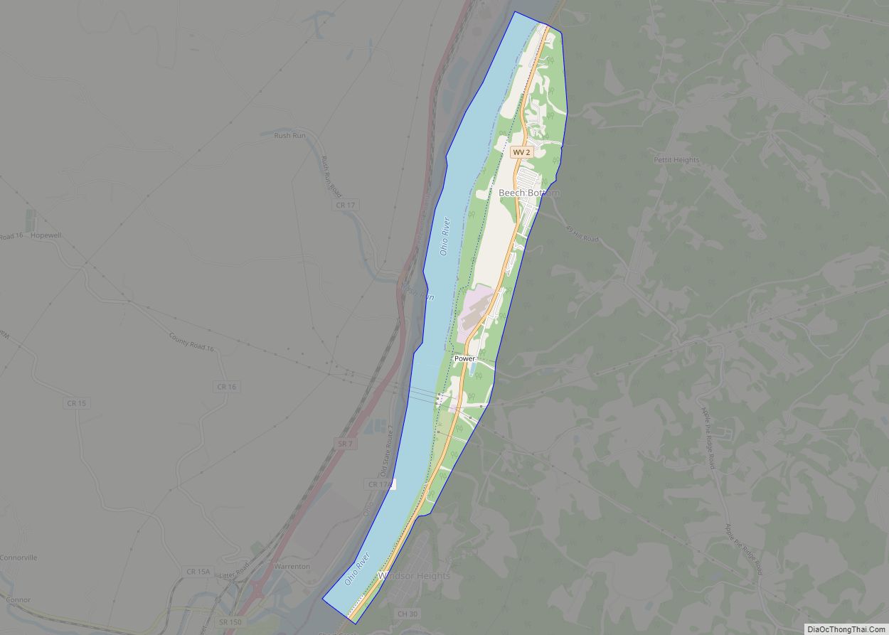
Online Interactive Map
Click on ![]() to view map in "full screen" mode.
to view map in "full screen" mode.
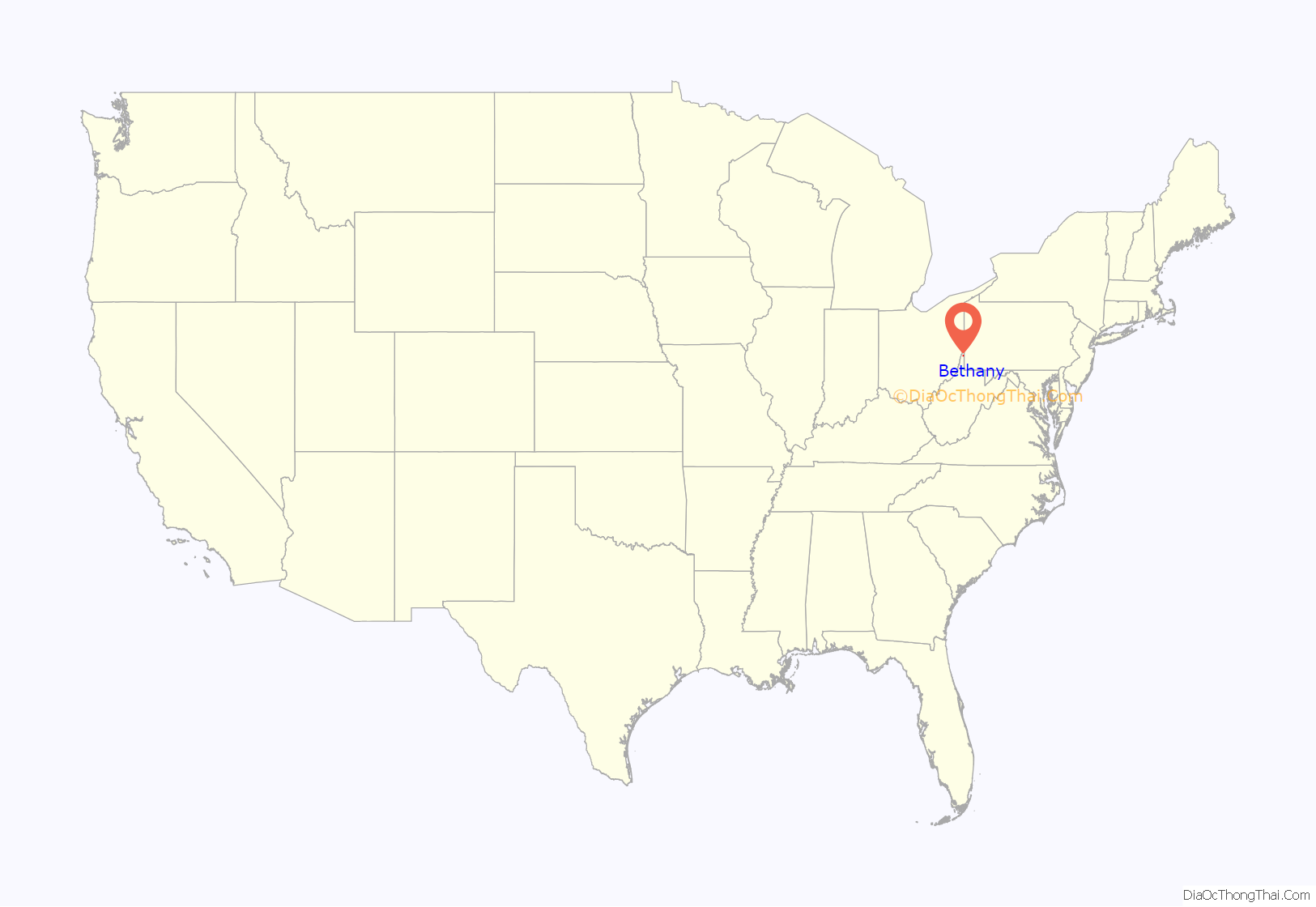
Bethany location map. Where is Bethany town?
History
Scotch-Irish minister Alexander Campbell established a post office in the area of his homestead around 1827. In 1840, he founded Bethany College, and then platted the town in 1847. The town was most likely named after the biblical town of Bethany, where Jesus was said to have raised Lazarus of Bethany from the dead.
The Bethany Historic District was listed on the National Register of Historic Places in 1982. Located within the district are the separately listed Alexander Campbell Mansion, Delta Tau Delta Founders House, Old Bethany Church, Old Main, and Pendleton Heights.
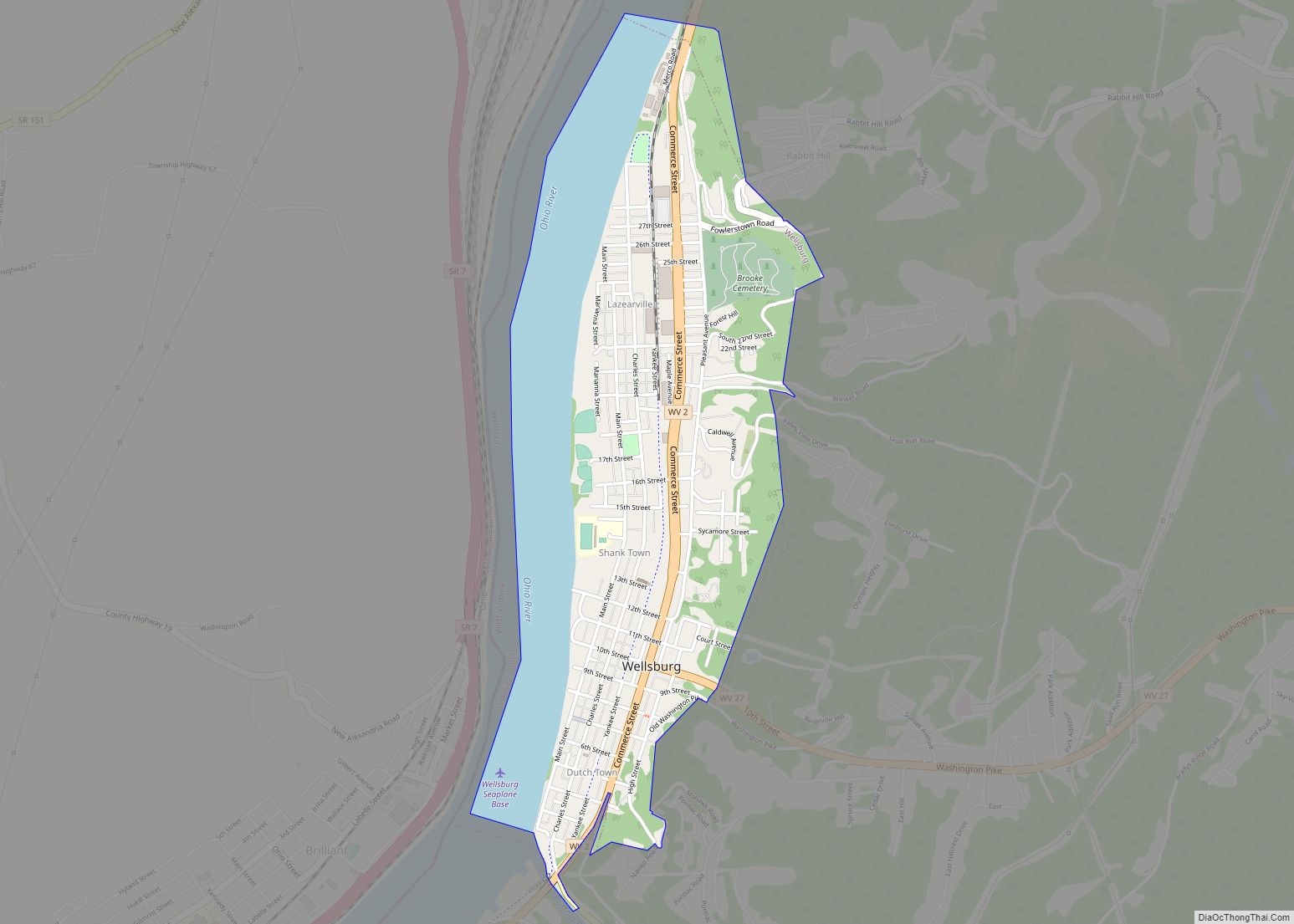
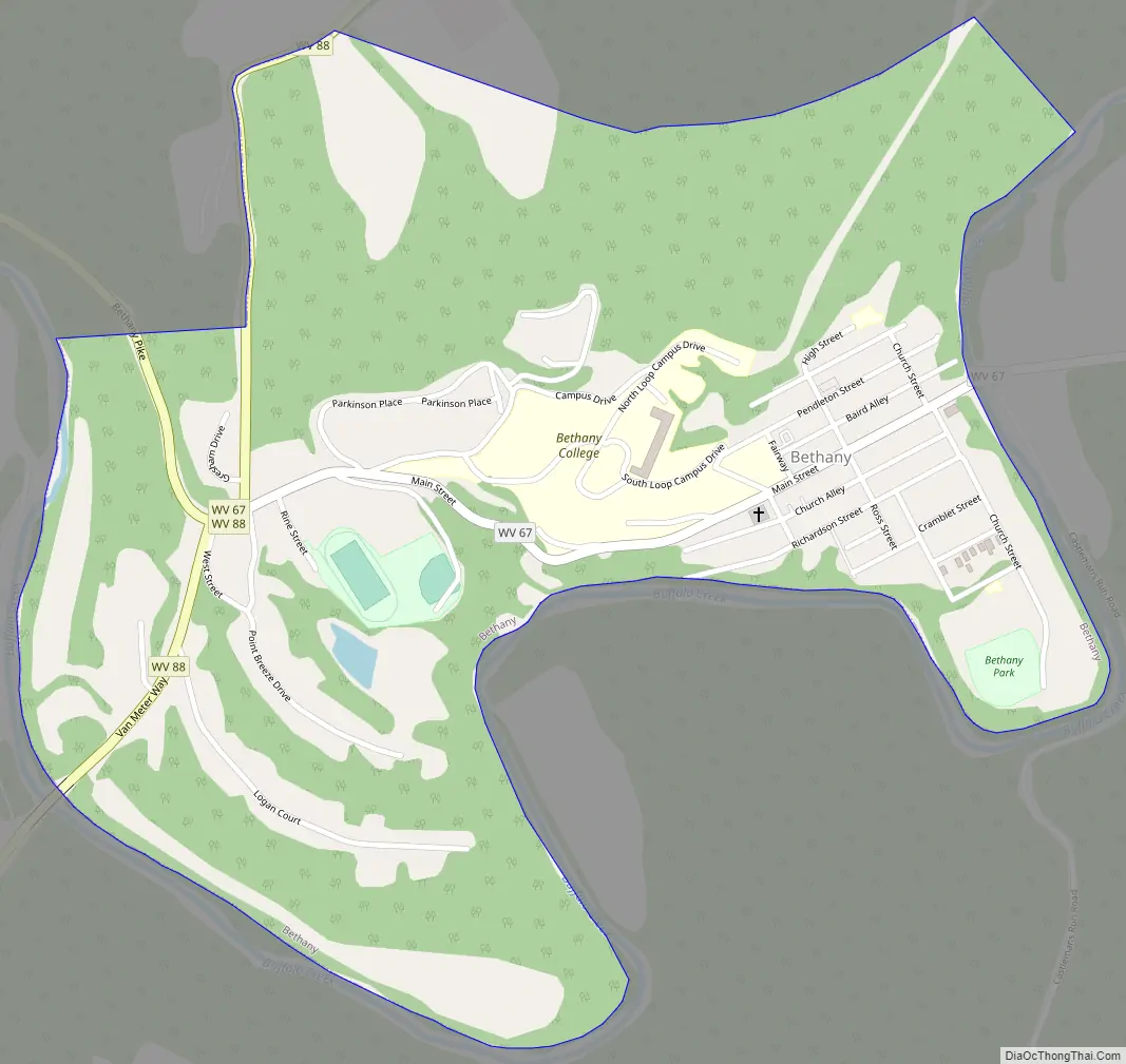
Bethany Road Map
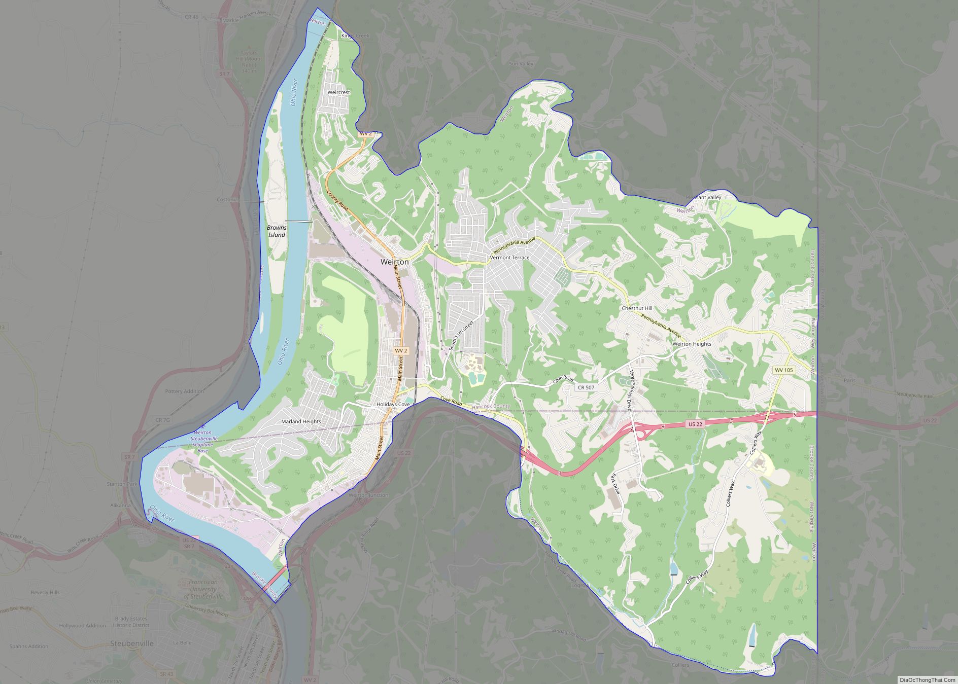
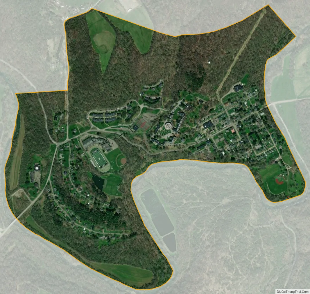
Bethany city Satellite Map
Geography
Bethany is located at 40°12′23″N 80°33′35″W / 40.20639°N 80.55972°W / 40.20639; -80.55972 (40.206423, -80.559621).
According to the United States Census Bureau, the town has a total area of 0.73 square miles (1.89 km), all land.
See also
Map of West Virginia State and its subdivision:- Barbour
- Berkeley
- Boone
- Braxton
- Brooke
- Cabell
- Calhoun
- Clay
- Doddridge
- Fayette
- Gilmer
- Grant
- Greenbrier
- Hampshire
- Hancock
- Hardy
- Harrison
- Jackson
- Jefferson
- Kanawha
- Lewis
- Lincoln
- Logan
- Marion
- Marshall
- Mason
- McDowell
- Mercer
- Mineral
- Mingo
- Monongalia
- Monroe
- Morgan
- Nicholas
- Ohio
- Pendleton
- Pleasants
- Pocahontas
- Preston
- Putnam
- Raleigh
- Randolph
- Ritchie
- Roane
- Summers
- Taylor
- Tucker
- Tyler
- Upshur
- Wayne
- Webster
- Wetzel
- Wirt
- Wood
- Wyoming
- Alabama
- Alaska
- Arizona
- Arkansas
- California
- Colorado
- Connecticut
- Delaware
- District of Columbia
- Florida
- Georgia
- Hawaii
- Idaho
- Illinois
- Indiana
- Iowa
- Kansas
- Kentucky
- Louisiana
- Maine
- Maryland
- Massachusetts
- Michigan
- Minnesota
- Mississippi
- Missouri
- Montana
- Nebraska
- Nevada
- New Hampshire
- New Jersey
- New Mexico
- New York
- North Carolina
- North Dakota
- Ohio
- Oklahoma
- Oregon
- Pennsylvania
- Rhode Island
- South Carolina
- South Dakota
- Tennessee
- Texas
- Utah
- Vermont
- Virginia
- Washington
- West Virginia
- Wisconsin
- Wyoming