Weirton (/ˈwɪərtən/) is a city in Hancock and Brooke counties in the U.S. state of West Virginia. Located along the Ohio River in the state’s Northern Panhandle, the city’s population was 19,163 as of the 2020 census, making it the sixth-largest city in the state. It is a principal city of the Weirton–Steubenville metropolitan area, which had a population of 116,903 residents in 2020; it is also a major city in the western part of the Pittsburgh–New Castle–Weirton combined statistical area. Weirton was established in 1947 after the consolidation of various small towns in the vicinity of the Weirton Steel Corporation, founded by Ernest T. Weir in 1909.
| Name: | Weirton city |
|---|---|
| LSAD Code: | 25 |
| LSAD Description: | city (suffix) |
| State: | West Virginia |
| County: | Brooke County, Hancock County |
| Elevation: | 755 ft (230 m) |
| Land Area: | 18.05 sq mi (46.76 km²) |
| Water Area: | 1.22 sq mi (3.15 km²) |
| Population Density: | 994.45/sq mi (383.95/km²) |
| ZIP code: | 26062 |
| Area code: | 304 |
| FIPS code: | 5485156 |
| GNISfeature ID: | 1555932 |
Online Interactive Map
Click on ![]() to view map in "full screen" mode.
to view map in "full screen" mode.
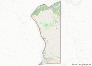
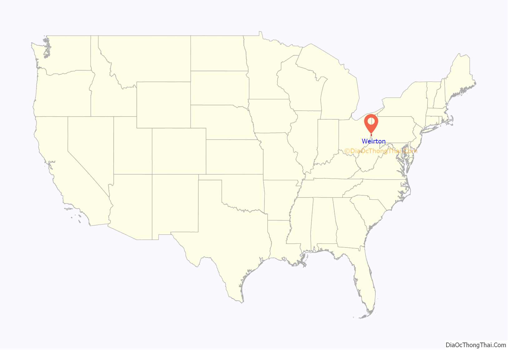
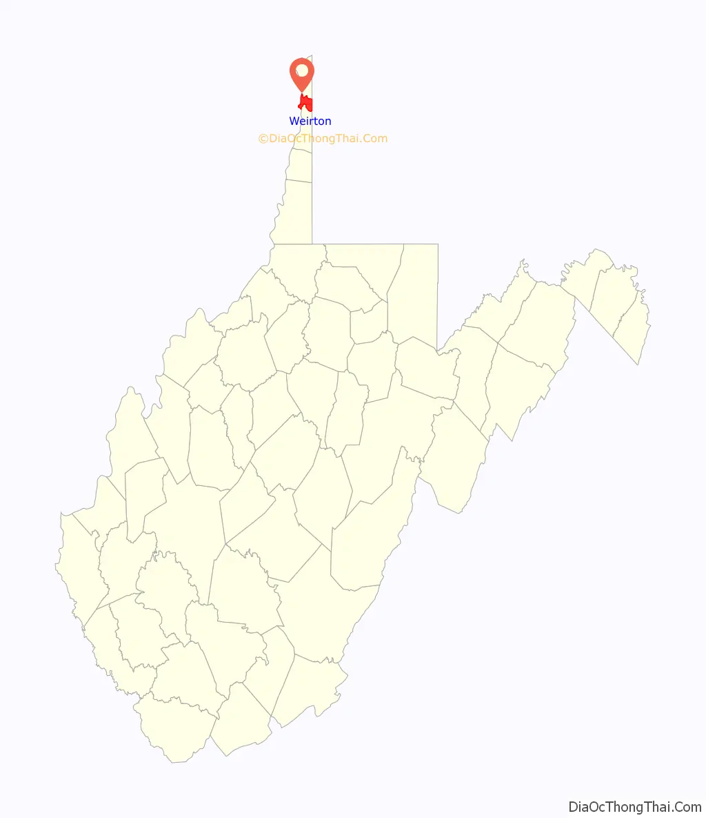
Weirton location map. Where is Weirton city?
History
Holliday’s Cove Fort was a Revolutionary War fortification constructed in 1774 by soldiers from Fort Pitt. It was located in what is now downtown Weirton, along Harmons Creek (named for Harmon Greathouse), about three miles from its mouth on the Ohio River. It was commanded by Colonel Andrew Van Swearingen (1741–1793) and later by his son-in-law, Captain Samuel Brady (1756–1795), the famous leader of Brady’s Rangers. In 1779, over 28 militia were garrisoned at Hollidays Cove. Two years earlier, Colonel Van Swearingen led a dozen soldiers by longboat down the Ohio to help rescue the inhabitants of Ft. Henry in Wheeling in a siege by the British and Indian tribes in 1777. That mission was memorialized in a WPA-era mural painted on the wall of the Cove Post Office by Charles S. Chapman (1879–1962). The mural features Col. John Bilderback, who later gained infamy as the leader of the massacre of the Moravian Indians in Gnadenhutten in 1782.
A small village called Holliday’s Cove — which is now most of downtown Weirton — was founded on the site in 1793. In 1909, Ernest T. Weir arrived from neighboring Pittsburgh and built a steel mill, later known as the Weirton Steel Corporation, just north of Holliday’s Cove. An unincorporated settlement called Weirton grew up around the mill that, by 1940, was said to be the largest unincorporated city in the United States. By then Hollidays Cove and two other outlying areas, Weirton Heights, and Marland Heights, which as their names suggest were on hilltops or ridges surrounding the “Weir–Cove” area, had also incorporated.
On July 1, 1947, all of these areas — Hollidays Cove, Marland Heights, Weirton Heights, and unincorporated Weirton — merged and formed the city of Weirton as it currently exists. Thomas E. Millsop, the head of the Weirton Steel division of the other Ernest T. Weir company, National Steel Corporation, was elected as the city’s first mayor. The city charter was approved by voters in 1950.
The Weirton Steel Corporation was once a fully integrated steel mill employing over 12,000 people. At one point was the largest private employer and the largest taxpayer in West Virginia. Due to reorganization of the steel industry, not only within the United States but worldwide, the Weirton mill faced declines in production. During the early 1980s the employees of Weirton Steel endeavored to purchase the mill from National Steel Corporation as the largest Employee Stock Ownership Program in the nation, saving the mill from bankruptcy. However, by 2003 the corporation was forced to file bankruptcy after generating more than $700 million in losses since 1998. In 2004, International Steel Group acquired the 3,000-worker plant before merging with international giant ArcelorMittal. By 2016, only the tin-plating section of the mill, though still one of the country’s largest tin-plate makers, was in operation with only 800 workers. In 2020, Ohio-based Cleveland-Cliffs purchased the tin mill.
Some civic leaders are attempting to attract businesses and homeowners from the neighboring Pittsburgh metropolitan area, marketing Weirton as a bedroom community, taking advantage of the close proximity to the Pittsburgh International Airport and Interstate 70.
Weirton is home to a number of sites on the National Register of Historic Places including: Johnston-Truax House, Marland Heights Park and Margaret Manson Weir Memorial Pool, People’s Bank, Dr. George Rigas House, and the Peter Tarr Furnace Site.
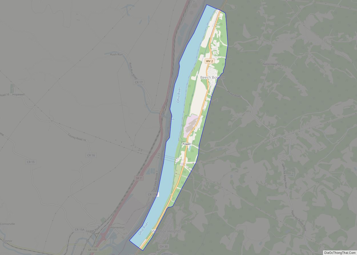
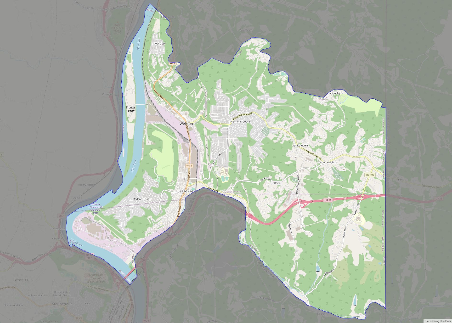
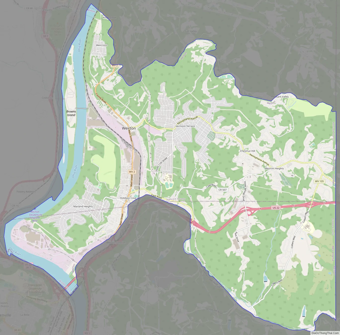
Weirton Road Map
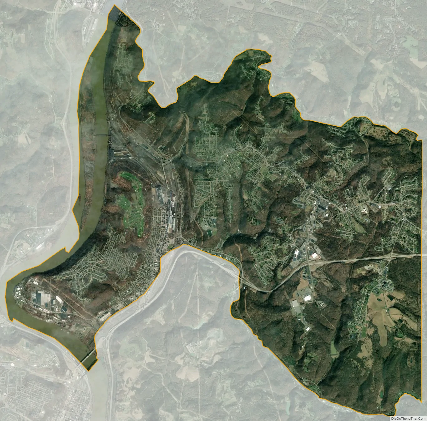
Weirton city Satellite Map
Geography
The city of Weirton is located at 40°25′08″N 80°35′22″W / 40.41889°N 80.58944°W / 40.41889; -80.58944 (40.4189, −80.5894). It extends from the Ohio border on the west to the Pennsylvania border on the east at a point where the northern extension of West Virginia is 5 miles (8.0 km) across. Therefore, it is one of only three communities in the United States that borders two other states on two sides, and its own state on the other two sides, the others being Hancock, Maryland and Memphis, Tennessee.
Weirton is across the Ohio River from Steubenville, Ohio, and approximately 35 miles (56 km) west of Pittsburgh, Pennsylvania, along U.S. Route 22. Pittsburgh International Airport is less than 30 miles (48 km) away. With the opening of Pennsylvania Route 576 from US 22 to the airport in October 2006, the highway distance to the airport has decreased to about 20 miles (32 km).
According to the United States Census Bureau, the city has a total area of 19.26 sq mi (49.88 km), of which 18.05 sq mi (46.75 km) is land and 1.21 sq mi (3.13 km) is water.
Surrounding areas
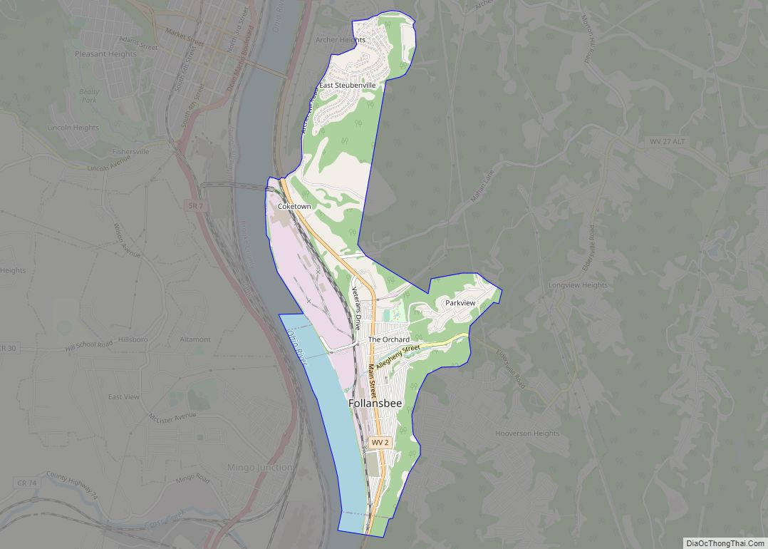
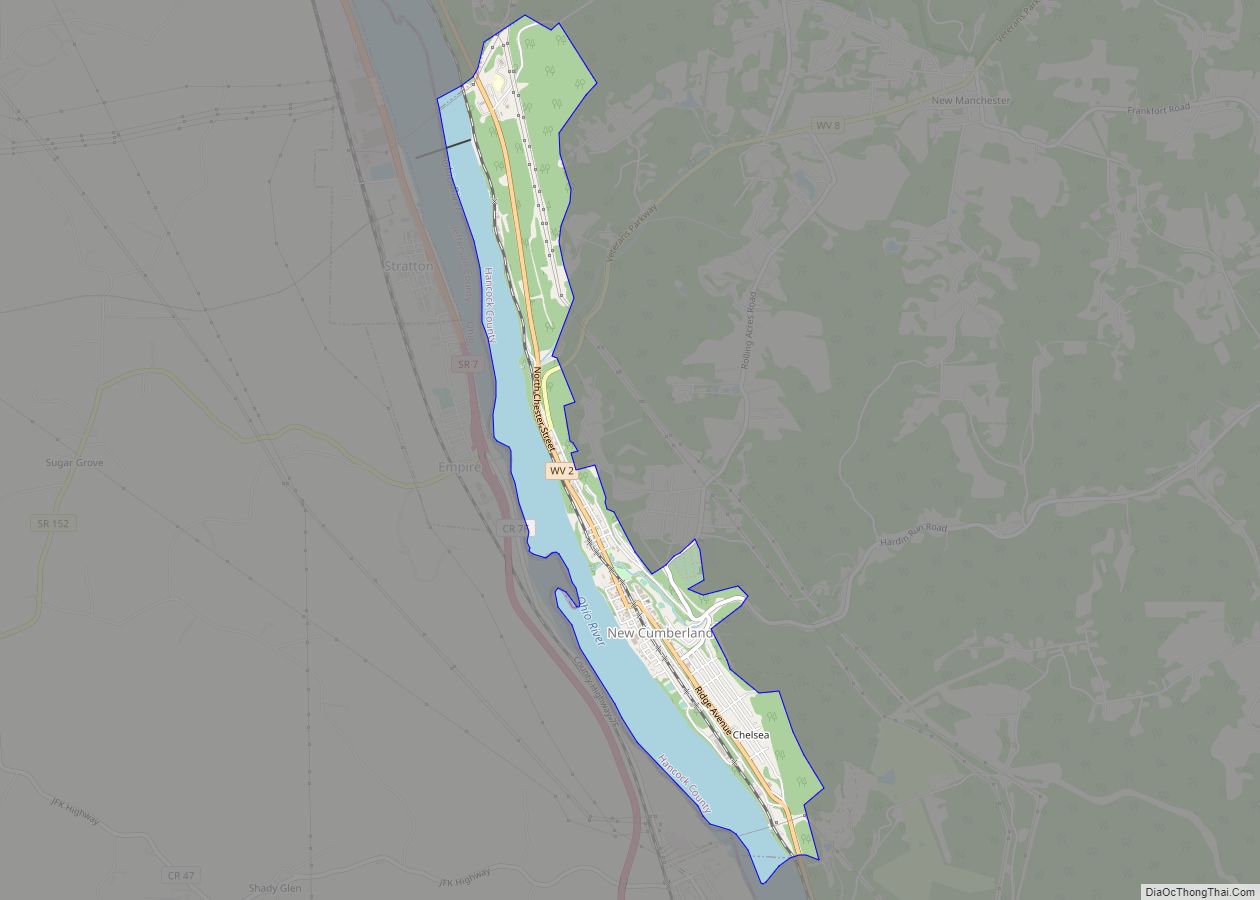
Weirton has three borders, including the cities of Follansbee to the south and New Cumberland to the north and the Pennsylvania/Washington County township of Hanover to the east. Weirton is also adjacent to Steubenville, Ohio and is directly accessible via the Veterans’ Memorial Bridge (U.S. Route 22).
Climate
Weirton has a humid continental climate (Köppen climate classification: Dfa), with warm summers and chilly to cold winters.
- Annual Average High Temperatures: 82 °F (28 °C) °F (summer) 40 °F (4 °C) (winter)
- Annual Average Low Temperatures 60 °F (16 °C) (summer) 25 °F (−4 °C) (winter)
- Highest Recorded Temperature: 102 °F (39 °C) (1988)
- Lowest Recorded Temperature: −22 °F (−30 °C) (1994)
- Warmest Month: July
- Coolest Month: January
- Highest Precipitation: June
- Annual Precipitation: 40.55 inches (1,030 mm)
See also
Map of West Virginia State and its subdivision:- Barbour
- Berkeley
- Boone
- Braxton
- Brooke
- Cabell
- Calhoun
- Clay
- Doddridge
- Fayette
- Gilmer
- Grant
- Greenbrier
- Hampshire
- Hancock
- Hardy
- Harrison
- Jackson
- Jefferson
- Kanawha
- Lewis
- Lincoln
- Logan
- Marion
- Marshall
- Mason
- McDowell
- Mercer
- Mineral
- Mingo
- Monongalia
- Monroe
- Morgan
- Nicholas
- Ohio
- Pendleton
- Pleasants
- Pocahontas
- Preston
- Putnam
- Raleigh
- Randolph
- Ritchie
- Roane
- Summers
- Taylor
- Tucker
- Tyler
- Upshur
- Wayne
- Webster
- Wetzel
- Wirt
- Wood
- Wyoming
- Alabama
- Alaska
- Arizona
- Arkansas
- California
- Colorado
- Connecticut
- Delaware
- District of Columbia
- Florida
- Georgia
- Hawaii
- Idaho
- Illinois
- Indiana
- Iowa
- Kansas
- Kentucky
- Louisiana
- Maine
- Maryland
- Massachusetts
- Michigan
- Minnesota
- Mississippi
- Missouri
- Montana
- Nebraska
- Nevada
- New Hampshire
- New Jersey
- New Mexico
- New York
- North Carolina
- North Dakota
- Ohio
- Oklahoma
- Oregon
- Pennsylvania
- Rhode Island
- South Carolina
- South Dakota
- Tennessee
- Texas
- Utah
- Vermont
- Virginia
- Washington
- West Virginia
- Wisconsin
- Wyoming