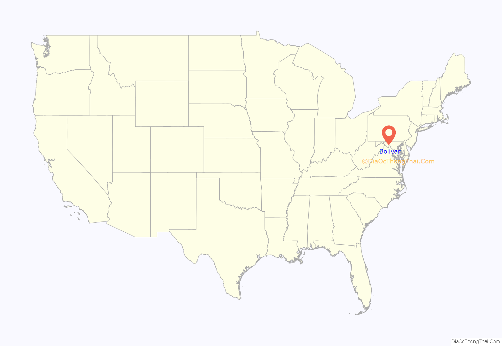
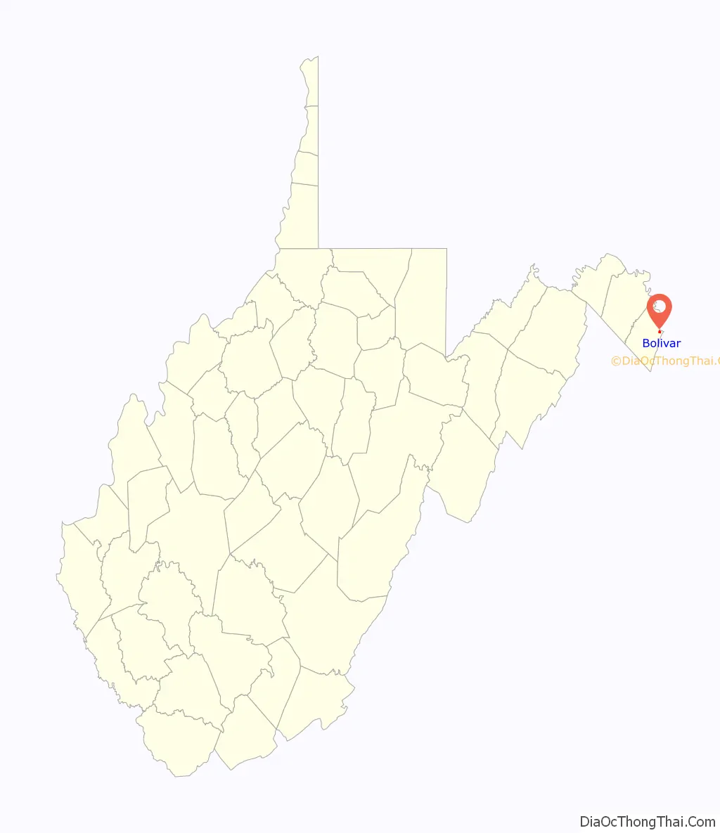
Bolivar (/ˈbɒlɪvər/ BOH-liv-er) is a town in Jefferson County, West Virginia, United States. The population was 1,072 at the 2020 census. The town is named for South American revolutionary leader Simón Bolívar. Located in West Virginia’s Eastern Panhandle, it is part of the northwestern fringes of the Washington metropolitan area.
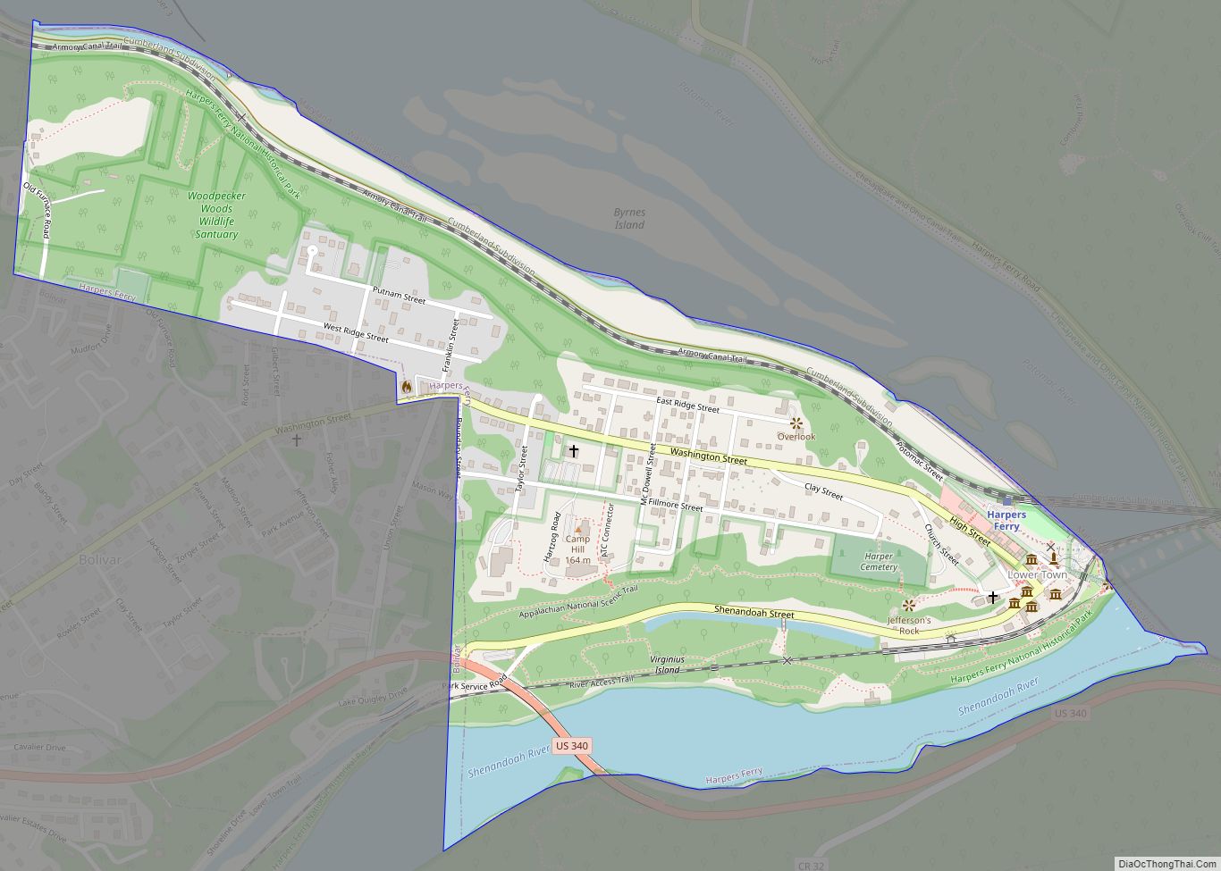
The Appalachian Trail passes directly through nearby Harpers Ferry, which some consider the psychological midpoint of the trail, although the physical midpoint is further north, in Pennsylvania. Uniquely, the towns of Harpers Ferry and Bolivar partnered with the ATC to be declared a united Appalachian Trail Community.
| Name: | Bolivar town |
|---|---|
| LSAD Code: | 43 |
| LSAD Description: | town (suffix) |
| State: | West Virginia |
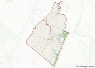
| County: | Jefferson County |
| Elevation: | 499 ft (152 m) |
| Total Area: | 0.43 sq mi (1.12 km²) |
| Land Area: | 0.43 sq mi (1.12 km²) |
| Water Area: | 0.00 sq mi (0.00 km²) |
| Total Population: | 1,045 |
| Population Density: | 2,360.28/sq mi (910.98/km²) |
| Area code: | 304 |
| FIPS code: | 5408932 |
| GNISfeature ID: | 1556734 |
| Website: | http://www.bolivarwv.org/ |
Online Interactive Map
Click on ![]() to view map in "full screen" mode.
to view map in "full screen" mode.
Bolivar location map. Where is Bolivar town?
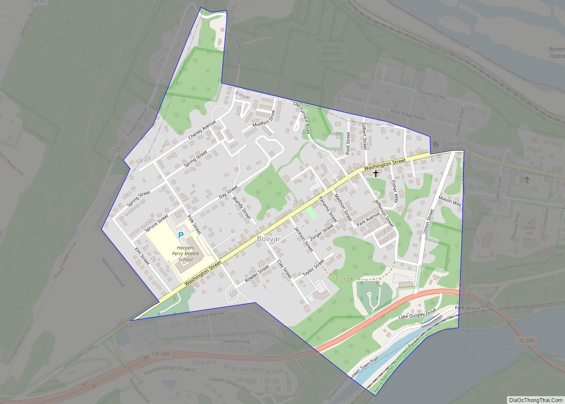
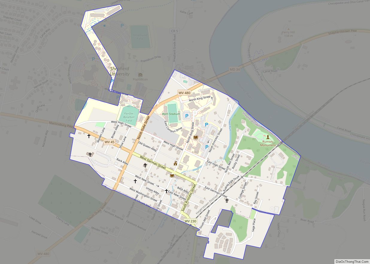
Bolivar Road Map
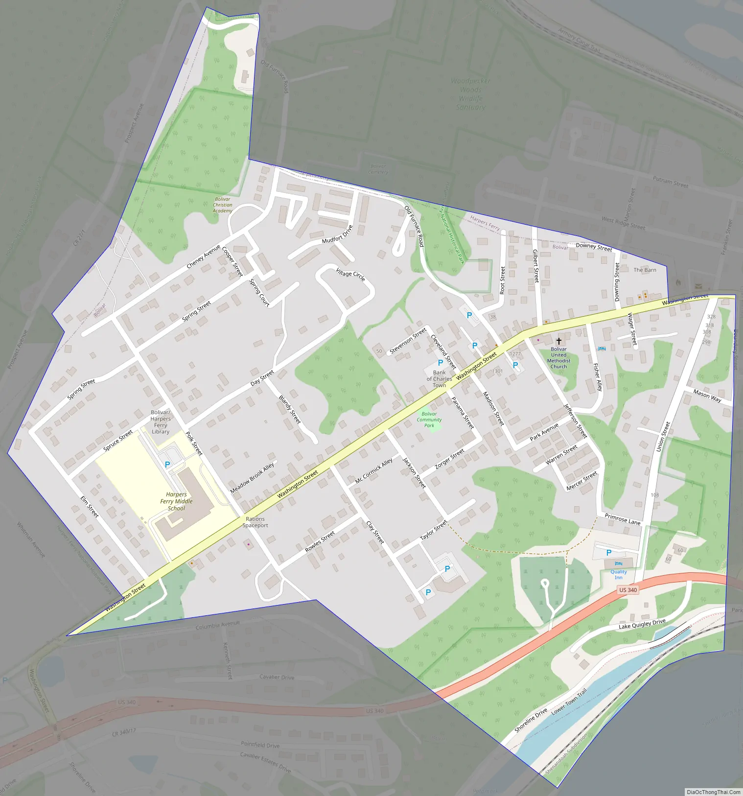
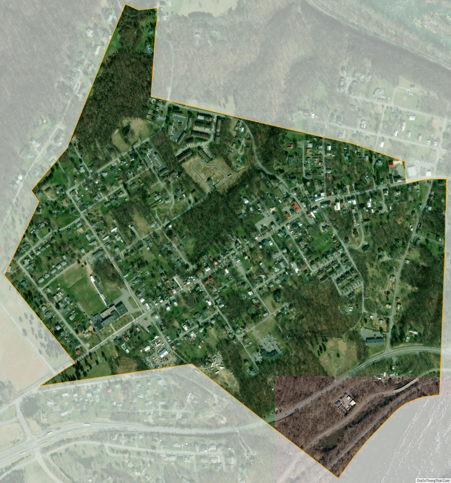
Bolivar city Satellite Map
Geography
Bolivar is located at 39°19.4′N 77°45.1′W / 39.3233°N 77.7517°W / 39.3233; -77.7517 (39.3241, -77.7515). It is contiguous with, and immediately up-hill from, the famous historic town Harpers Ferry.
According to the United States Census Bureau, the town has a total area of 0.44 square miles (1.14 km), all land.
See also
Map of West Virginia State and its subdivision:- Barbour
- Berkeley
- Boone
- Braxton
- Brooke
- Cabell
- Calhoun
- Clay
- Doddridge
- Fayette
- Gilmer
- Grant
- Greenbrier
- Hampshire
- Hancock
- Hardy
- Harrison
- Jackson
- Jefferson
- Kanawha
- Lewis
- Lincoln
- Logan
- Marion
- Marshall
- Mason
- McDowell
- Mercer
- Mineral
- Mingo
- Monongalia
- Monroe
- Morgan
- Nicholas
- Ohio
- Pendleton
- Pleasants
- Pocahontas
- Preston
- Putnam
- Raleigh
- Randolph
- Ritchie
- Roane
- Summers
- Taylor
- Tucker
- Tyler
- Upshur
- Wayne
- Webster
- Wetzel
- Wirt
- Wood
- Wyoming
- Alabama
- Alaska
- Arizona
- Arkansas
- California
- Colorado
- Connecticut
- Delaware
- District of Columbia
- Florida
- Georgia
- Hawaii
- Idaho
- Illinois
- Indiana
- Iowa
- Kansas
- Kentucky
- Louisiana
- Maine
- Maryland
- Massachusetts
- Michigan
- Minnesota
- Mississippi
- Missouri
- Montana
- Nebraska
- Nevada
- New Hampshire
- New Jersey
- New Mexico
- New York
- North Carolina
- North Dakota
- Ohio
- Oklahoma
- Oregon
- Pennsylvania
- Rhode Island
- South Carolina
- South Dakota
- Tennessee
- Texas
- Utah
- Vermont
- Virginia
- Washington
- West Virginia
- Wisconsin
- Wyoming