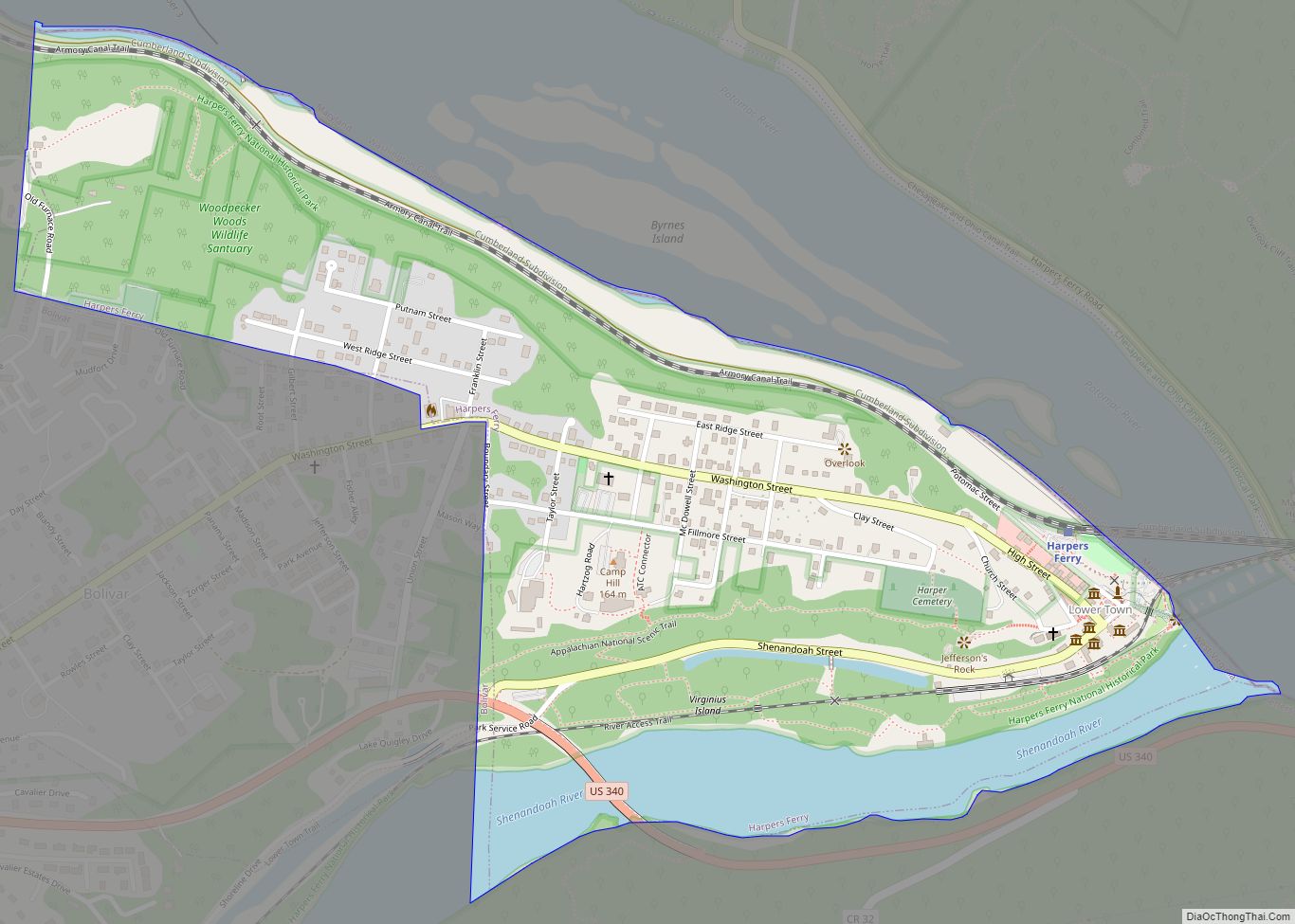
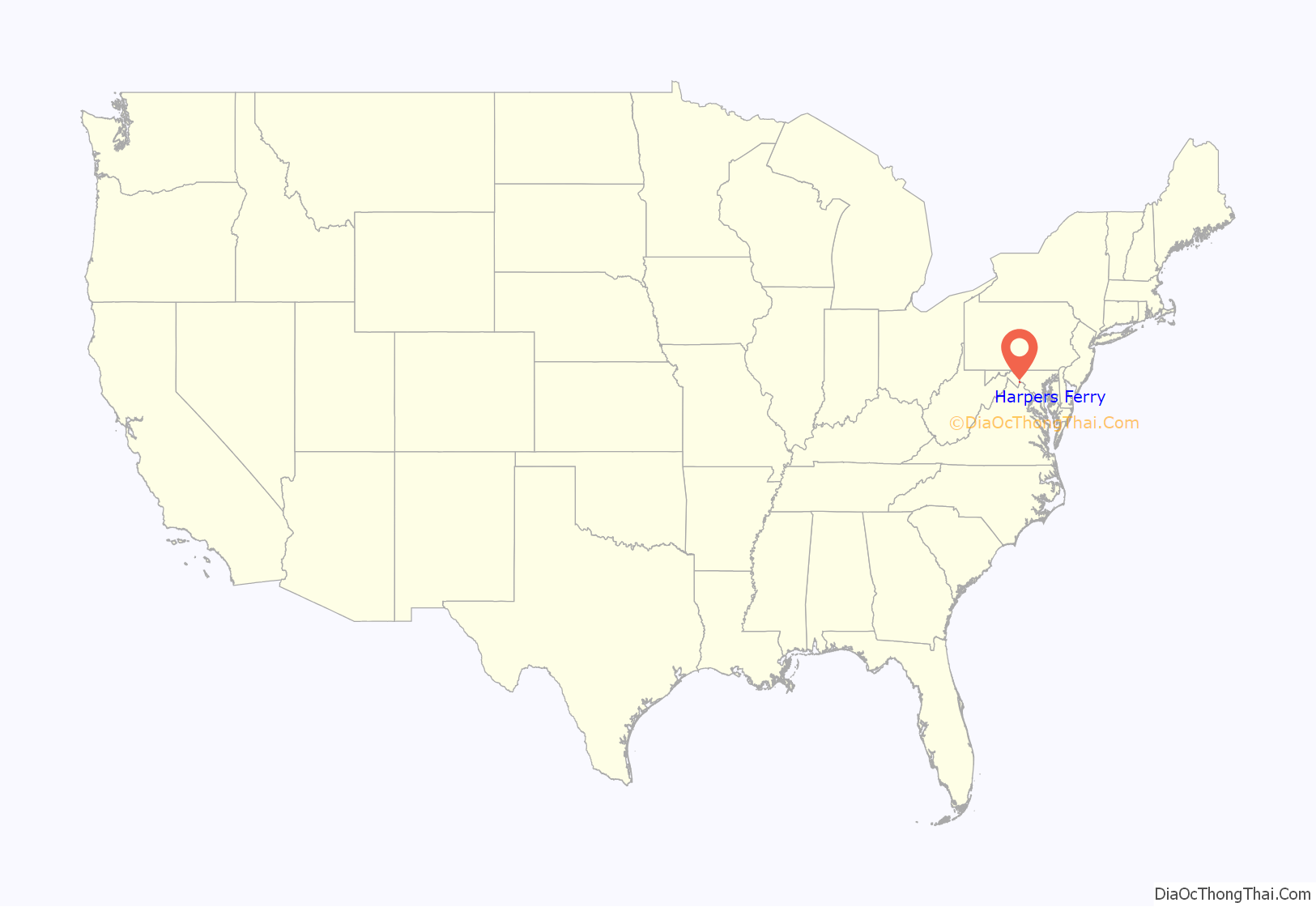
Harpers Ferry is a historic town in Jefferson County, West Virginia, United States, in the lower Shenandoah Valley. The population was 285 at the 2020 census. Situated at the confluence of the Potomac and Shenandoah rivers, where the U.S. states of Maryland, Virginia, and West Virginia meet, it is the easternmost town in West Virginia. During the American Civil War, it was the northernmost point of Confederate-controlled territory. An 1890 history book on the town called it “the best strategic point in the whole South.”
The town was formerly spelled Harper’s Ferry with an apostrophe, so named because in the 18th century it was the site of a ferry service owned and operated by Robert Harper. The United States Board on Geographic Names, whose Domestic Name Committee is reluctant to include apostrophes in official place names, established the standard spelling of “Harpers Ferry” by 1891.
By far, the most important event in the town’s history was John Brown’s raid on the Harpers Ferry Armory in 1859.
Prior to the American Civil War, Harpers Ferry was a manufacturing town as well as a major transportation hub. The main economic activity in the town in the 20th and 21st centuries is tourism. John Brown’s Fort is the most visited tourist site in the state of West Virginia. The headquarters of the Appalachian Trail are there—not the midpoint, but close to it, and easily accessible—and the buildings of the former Storer College are used by the National Park Service for one of its four national training centers. The National Park Service is Harpers Ferry’s largest employer in the 21st century.
The lower town has been reconstructed by the National Park Service. It was in ruins by the end of the American Civil War, not helped by later river flooding. “The fact that Harpers Ferry was first and foremost an industrial village during the 19th century is not apparent in the sights, sounds, or smells of the town today.”
| Name: | Harpers Ferry town |
|---|---|
| LSAD Code: | 43 |
| LSAD Description: | town (suffix) |
| State: | West Virginia |
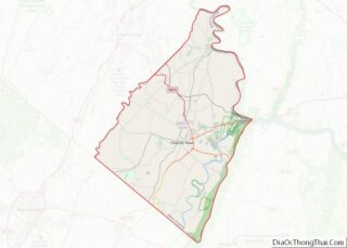
| County: | Jefferson County |
| Elevation: | 489 ft (149 m) |
| Total Area: | 0.62 sq mi (1.62 km²) |
| Land Area: | 0.54 sq mi (1.39 km²) |
| Water Area: | 0.09 sq mi (0.23 km²) |
| Total Population: | 285 |
| Population Density: | 527.10/sq mi (203.45/km²) |
| ZIP code: | 25425 |
| Area code: | 304 |
| FIPS code: | 5435284 |
| GNISfeature ID: | 1560593 |
| Website: | www.harpersferrywv.us |
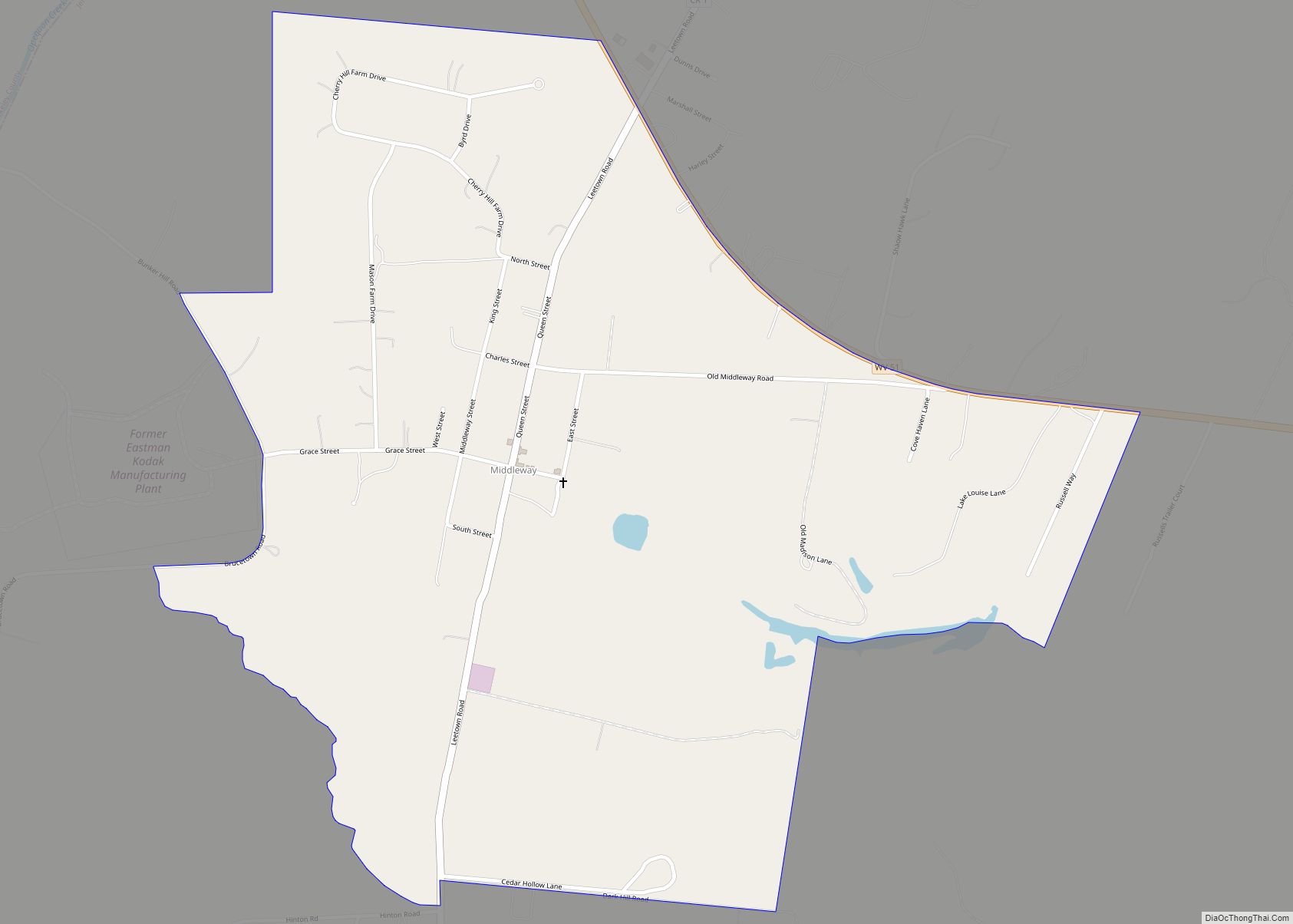
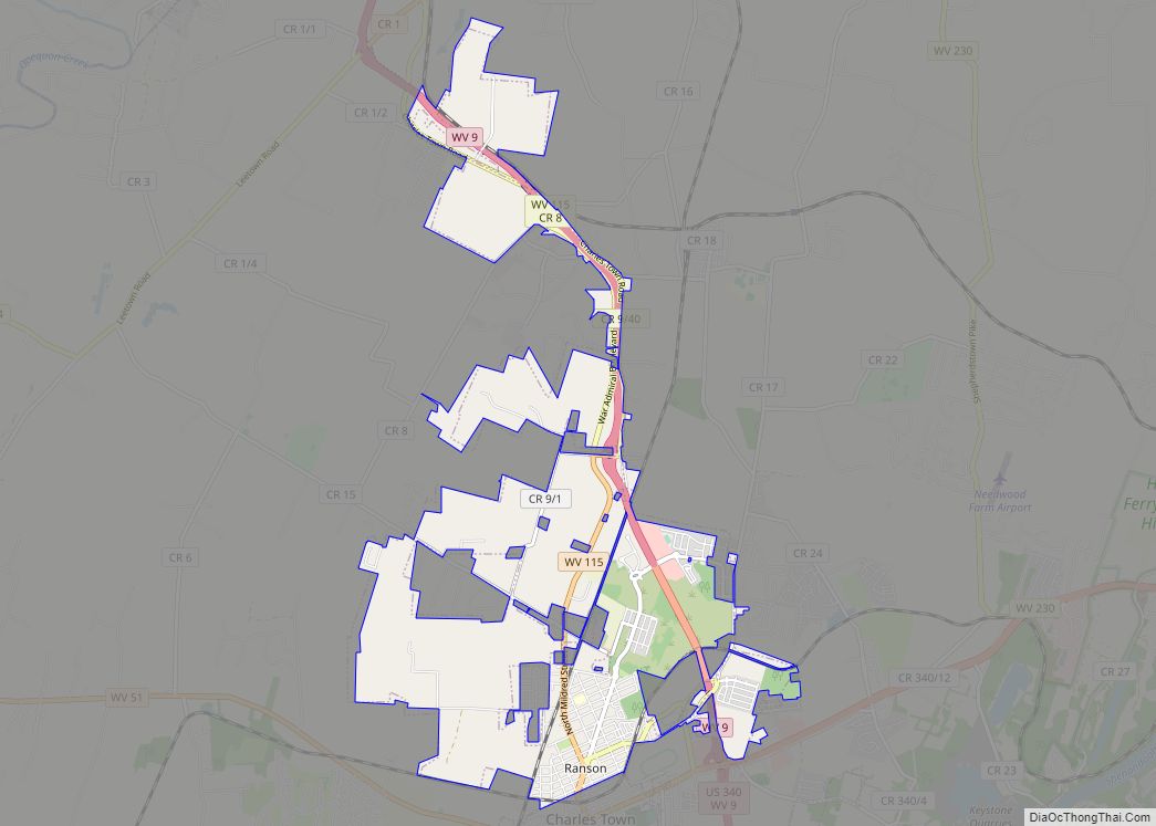
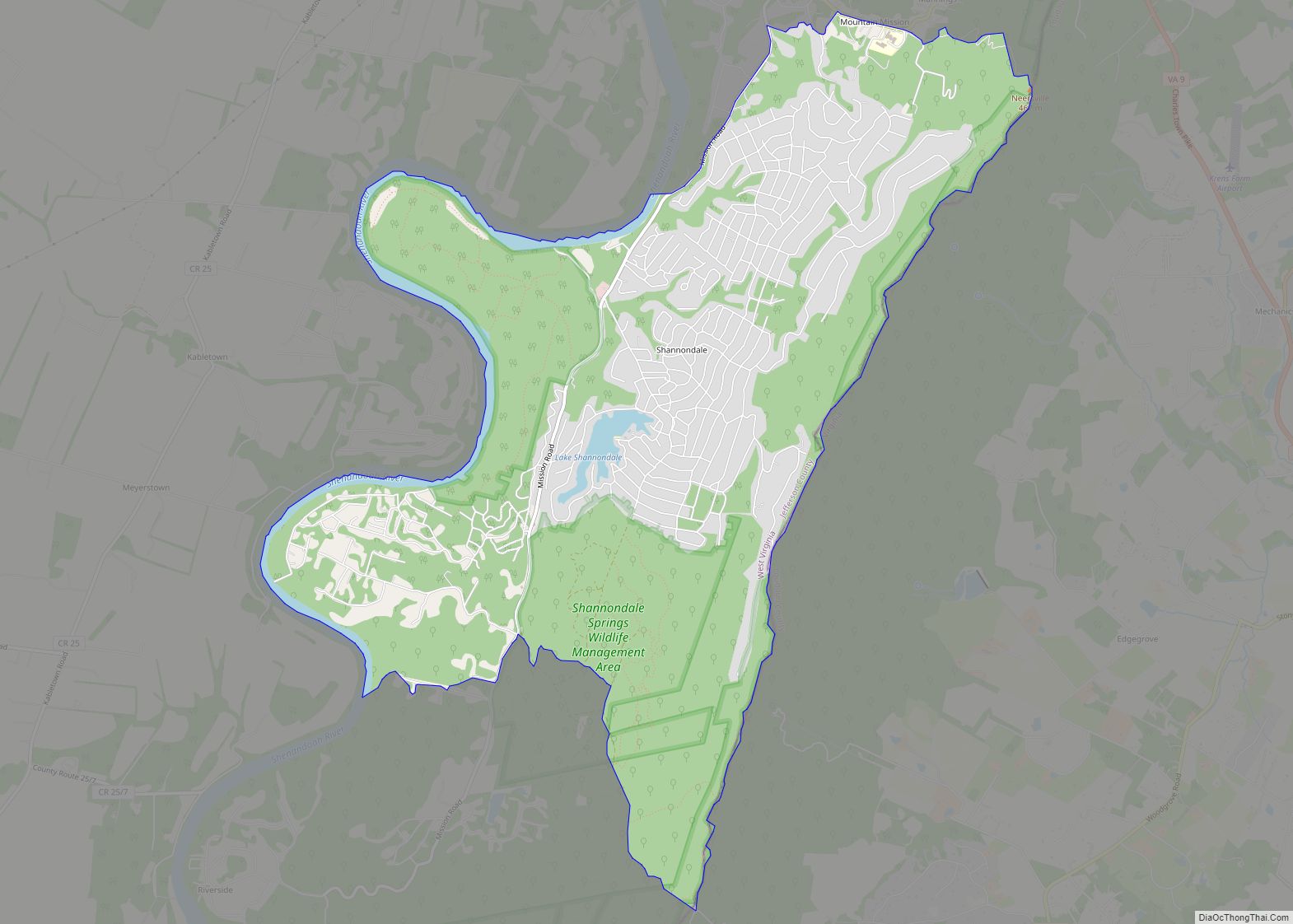
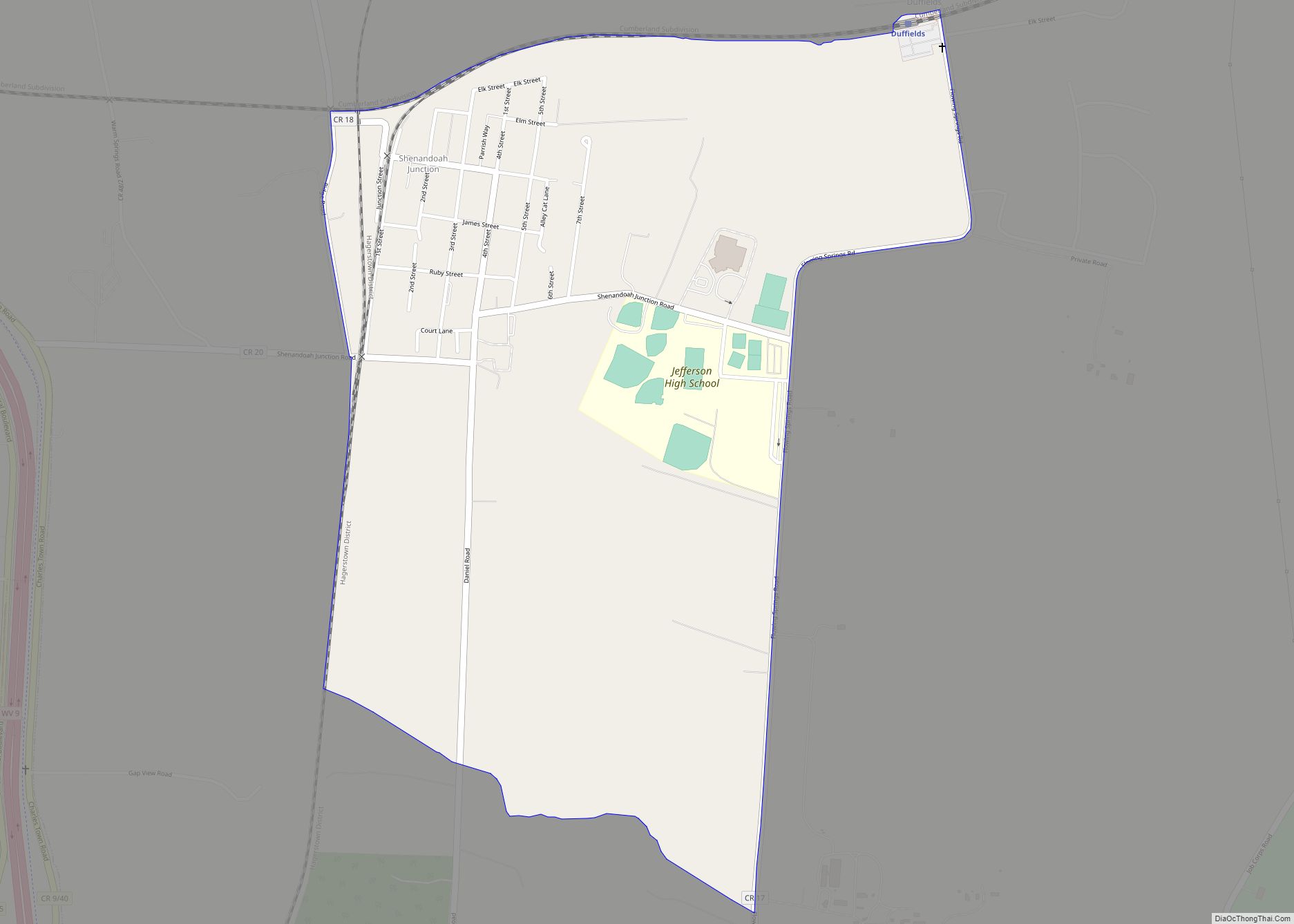
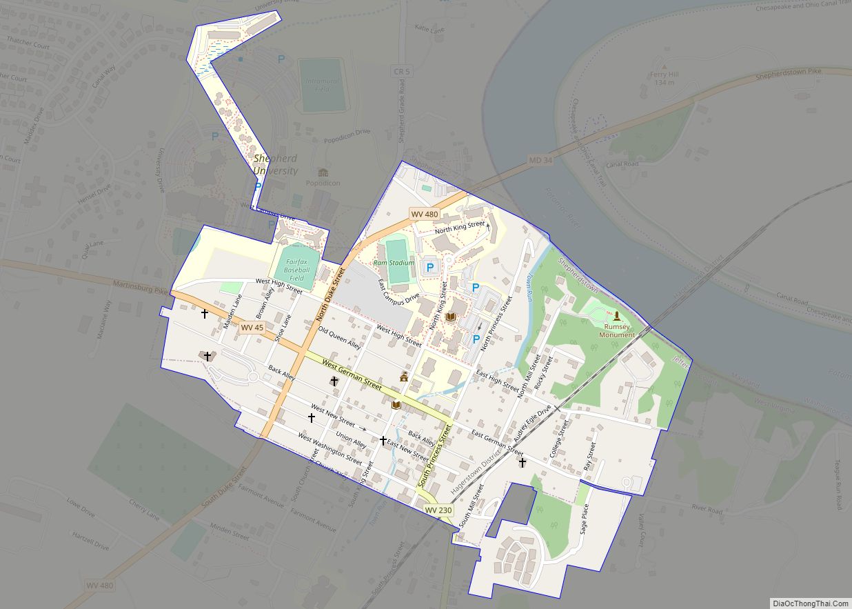
Online Interactive Map
Click on ![]() to view map in "full screen" mode.
to view map in "full screen" mode.
Harpers Ferry location map. Where is Harpers Ferry town?
History
In 1733, Peter Stephens, a squatter, settled on land near The Point, the area where the Potomac and Shenandoah Rivers meet, and established a ferry from Virginia (now West Virginia) to Maryland, across the Potomac River.
Robert Harper, from whom the town takes its name, was born in 1718 in Oxford Township near Philadelphia, Pennsylvania. Since he was a builder, Harper was asked by a group of Quakers in 1747 to build a meeting house in the Shenandoah Valley near the present site of Winchester, Virginia. Traveling through Maryland on his way to the Shenandoah Valley, Harper—who was also a millwright—realized the potential of the latent waterpower from the Shenandoah and Potomac Rivers at an easily accessible location. He paid Stephens 30 guineas for his squatting rights to the ferry, since the land actually belonged to Lord Fairfax.
Harper then purchased 126 acres (0.51 km) of land from Lord Fairfax in 1751. In 1761, the Virginia General Assembly granted him the right to establish and maintain a ferry across the Potomac, even though a ferry had already been functioning since before Harper arrived. In 1763, the Virginia General Assembly established the town of “Shenandoah Falls at Mr. Harpers Ferry.” Harper died in October 1782 and is buried in the Harper Cemetery.
On October 25, 1783, Thomas Jefferson visited Harpers Ferry as he was traveling to Philadelphia and passed through Harpers Ferry with his daughter Patsy. Viewing “the passage of the Potomac through the Blue Ridge” from a rock that is now named for him as Jefferson’s Rock, he called the site “perhaps one of the most stupendous scenes in nature” and stated, “This scene is worth a voyage across the Atlantic.” The town was one of his favorite retreats, and tradition says that much of his Notes on the State of Virginia was written there. Jefferson County, in which Harpers Ferry is located was named for him on its creation in 1801.
George Washington, as president of the Patowmack Company, which was formed to complete river improvements on the Potomac River and its tributaries, traveled to Harpers Ferry during summer 1785 to determine the need for bypass canals. Following Washington’s familiarity with the area led him to propose the site in 1794 for a new U.S. armory and arsenal, some of his family moved to the area. His brother Charles Washington, who founded the nearby Jefferson County, West Virginia town of Charles Town, and his great-great-nephew, Colonel Lewis Washington, who was held hostage during John Brown’s raid in 1859, both moved to the area.
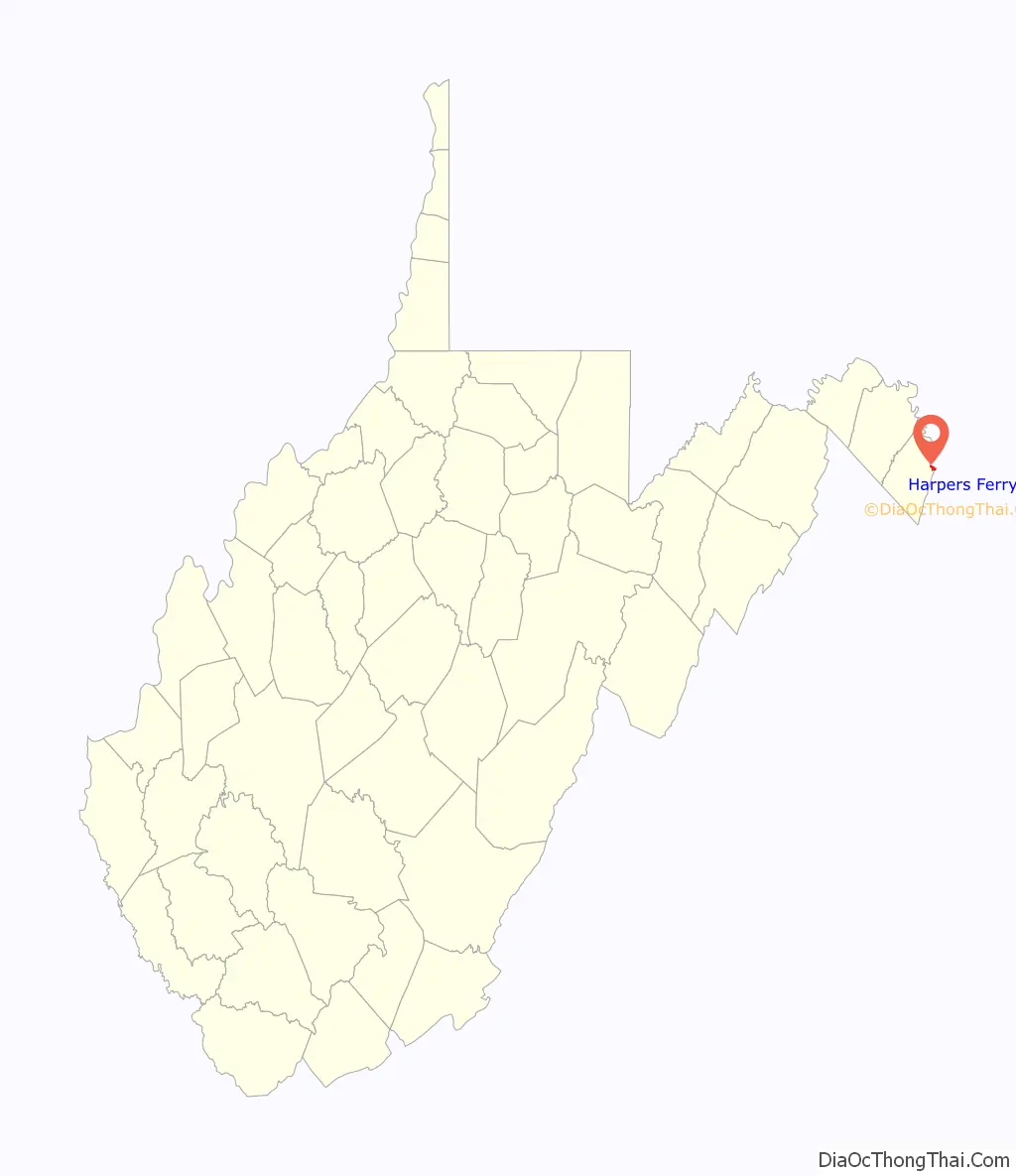
Harpers Ferry Road Map
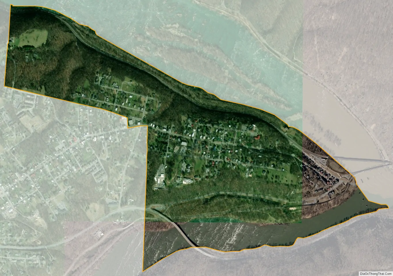
Harpers Ferry city Satellite Map
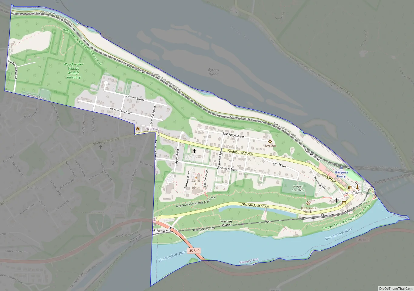
Geography
According to the U.S. Census Bureau, the town has a total area of 0.61 square miles (1.58 km), of which 0.53 square miles (1.37 km) is land and 0.08 square miles (0.21 km) is water. Some properties are currently threatened by development. From most of Harpers Ferry, a fading advertisement for Mennen’s Borated Talcum Toilet Powder painted on the cliff face of Maryland Heights decades ago is still visible.
The geographical and physical features of Harpers Ferry were the principal reasons for its settlement and eventual industrial development. It is a natural transportation hub and a major river, the Shenandoah, joins the Potomac River at Harpers Ferry. It guarded the entrance to Virginia’s large Shenandoah Valley, and the Potomac provided easy access to Washington. The valleys of the rivers made it possible to build the never-completed Chesapeake and Ohio Canal, then the Baltimore and Ohio Railroad, and shortly after that the Winchester and Potomac Railroad. The first railroad junction in the United States was at Harpers Ferry. Essential telegraph lines passed through the town. The armory, and later other industries, were located in Harpers Ferry because of the abundant water power available from the rivers.
The ferry ended in 1824, when a covered wooden road bridge by the name of Wager’s Bridge was built. Harpers Ferry was the site of the first and for many years the only railroad bridge across the Potomac River, the Baltimore & Ohio Railroad’s bridge, built in 1836–37. None of Washington, D.C.’s bridges connecting it with Virginia carried more than horse traffic until after the American Civil War. In 1851, a second bridge was built, across the Shenandoah, one of the earliest Bollman trusses. A newer Bollman truss bridge, which carried both rail and highway traffic, opened in 1870 but was washed away in a flood in 1936.
The town’s original lower section is on a flood plain created by the two rivers. It is surrounded by higher ground, and since the 20th century has been part of Harpers Ferry National Historical Park. Most of the remainder, which includes the more elevated populated area, is included in the separate Harpers Ferry Historic District. Two other National Register of Historic Places properties adjoin the town: the B & O Railroad Potomac River Crossing and St. Peter’s Roman Catholic Church.
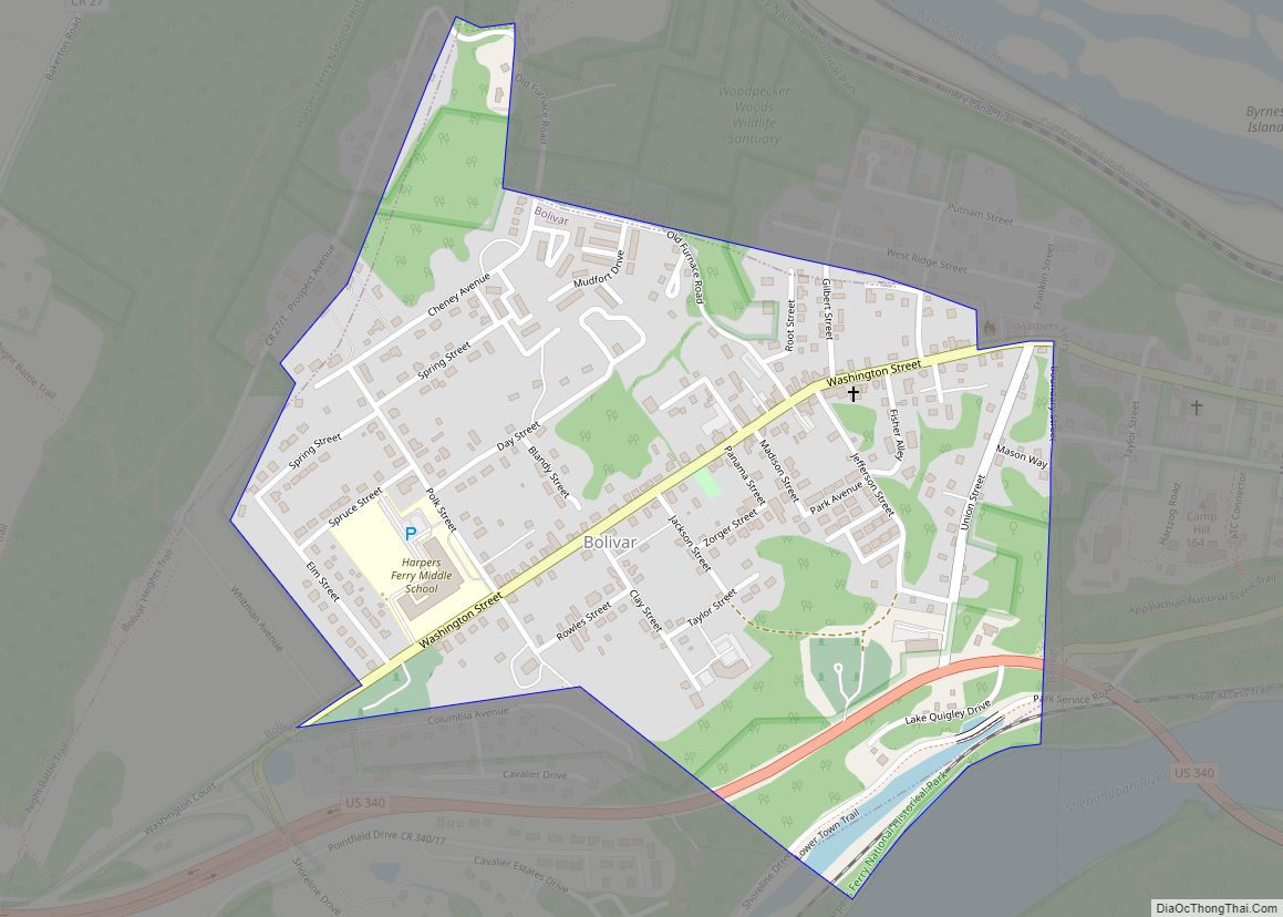
The Appalachian Trail Conservancy (ATC) headquarters is in Harpers Ferry. The Appalachian Trail passes directly through town, which some consider the psychological midpoint of the trail although the exact physical midpoint is farther north, in Pennsylvania. Uniquely, the towns of Harpers Ferry and adjoining Bolivar Heights partnered with the ATC to be declared a united Appalachian Trail Community. Other popular outdoor activities in the area include white water rafting, fishing, mountain biking, tubing, canoeing, hiking, zip lining, and rock climbing.
Climate
The climate in this area is characterized by hot, humid summers and generally mild to cool winters, with yearly snowfall averaging 20.7 inches. According to the Köppen Climate Classification system, Harpers Ferry has a humid subtropical climate, abbreviated “Cfa” on climate maps.
See also
Map of West Virginia State and its subdivision:- Barbour
- Berkeley
- Boone
- Braxton
- Brooke
- Cabell
- Calhoun
- Clay
- Doddridge
- Fayette
- Gilmer
- Grant
- Greenbrier
- Hampshire
- Hancock
- Hardy
- Harrison
- Jackson
- Jefferson
- Kanawha
- Lewis
- Lincoln
- Logan
- Marion
- Marshall
- Mason
- McDowell
- Mercer
- Mineral
- Mingo
- Monongalia
- Monroe
- Morgan
- Nicholas
- Ohio
- Pendleton
- Pleasants
- Pocahontas
- Preston
- Putnam
- Raleigh
- Randolph
- Ritchie
- Roane
- Summers
- Taylor
- Tucker
- Tyler
- Upshur
- Wayne
- Webster
- Wetzel
- Wirt
- Wood
- Wyoming
- Alabama
- Alaska
- Arizona
- Arkansas
- California
- Colorado
- Connecticut
- Delaware
- District of Columbia
- Florida
- Georgia
- Hawaii
- Idaho
- Illinois
- Indiana
- Iowa
- Kansas
- Kentucky
- Louisiana
- Maine
- Maryland
- Massachusetts
- Michigan
- Minnesota
- Mississippi
- Missouri
- Montana
- Nebraska
- Nevada
- New Hampshire
- New Jersey
- New Mexico
- New York
- North Carolina
- North Dakota
- Ohio
- Oklahoma
- Oregon
- Pennsylvania
- Rhode Island
- South Carolina
- South Dakota
- Tennessee
- Texas
- Utah
- Vermont
- Virginia
- Washington
- West Virginia
- Wisconsin
- Wyoming