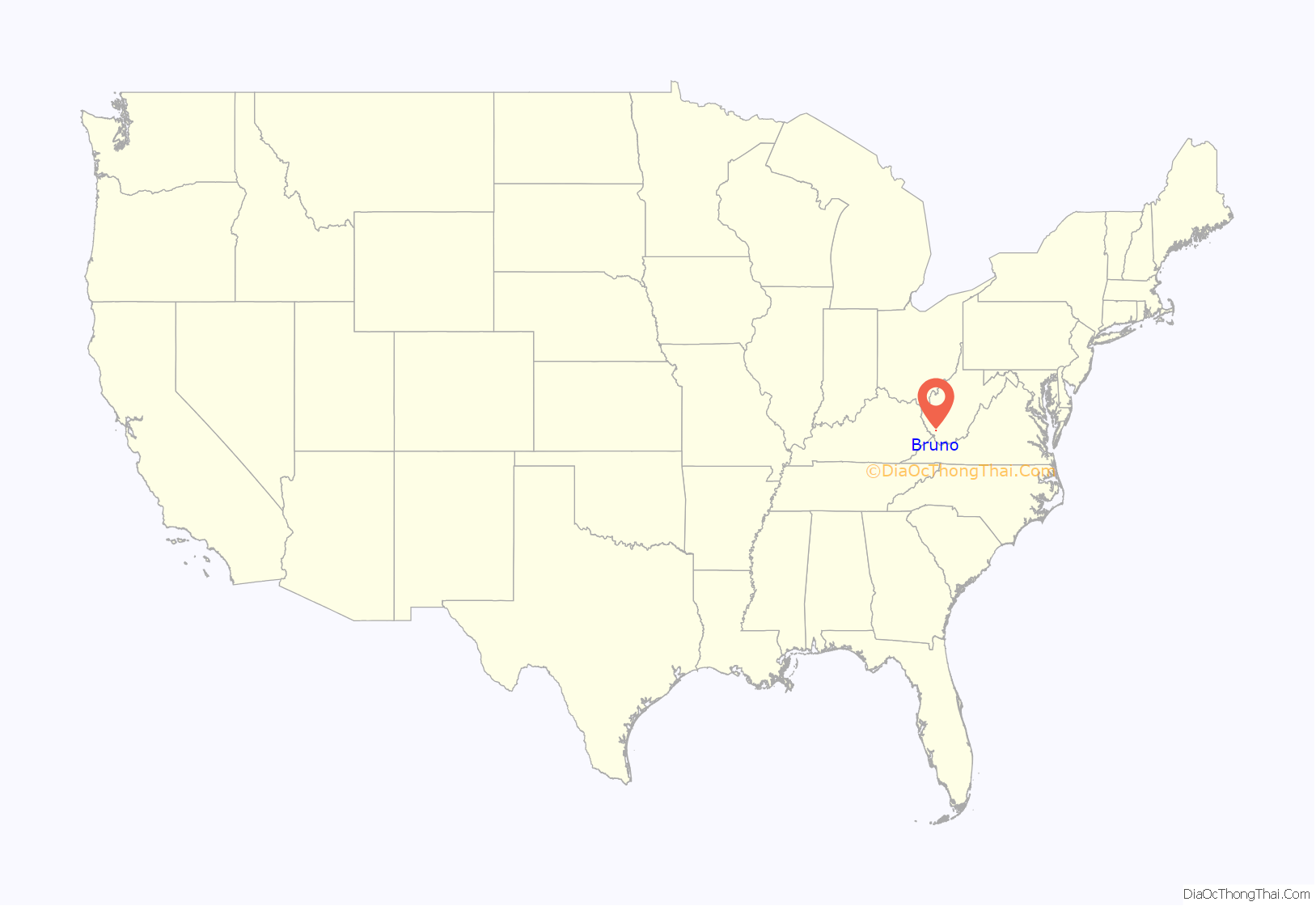
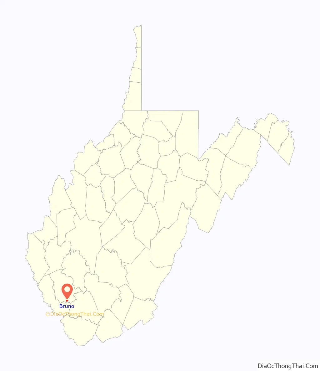
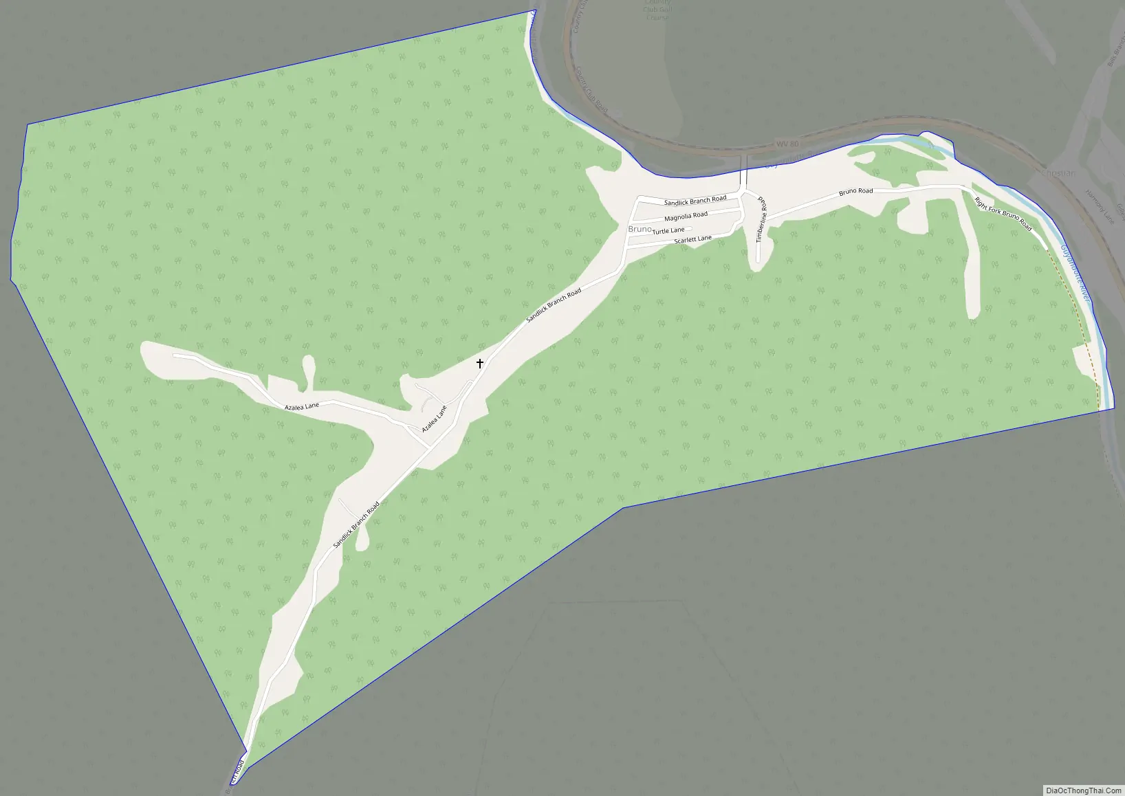
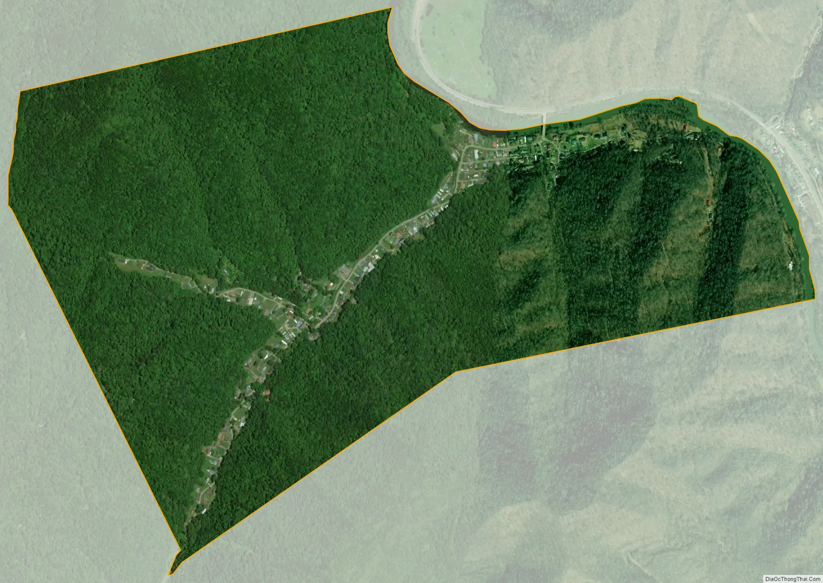
Bruno is a census-designated place (CDP) in Logan County, West Virginia, United States. Bruno is located on the west bank of the Guyandotte River, 3.5 miles (5.6 km) south of Man. Bruno has a post office with ZIP code 25611. As of the 2010 census, its population was 544.
| Name: | Bruno CDP |
|---|---|
| LSAD Code: | 57 |
| LSAD Description: | CDP (suffix) |
| State: | West Virginia |
| County: | Logan County |
| Elevation: | 755 ft (230 m) |
| Total Area: | 1.323 sq mi (3.43 km²) |
| Land Area: | 1.299 sq mi (3.36 km²) |
| Water Area: | 0.024 sq mi (0.06 km²) |
| Total Population: | 544 |
| Population Density: | 410/sq mi (160/km²) |
| ZIP code: | 25611 |
| Area code: | 304 & 681 |
| FIPS code: | 5410876 |
| GNISfeature ID: | 1553999 |
Online Interactive Map
Click on ![]() to view map in "full screen" mode.
to view map in "full screen" mode.
Bruno location map. Where is Bruno CDP?
Bruno Road Map
Bruno city Satellite Map
See also
Map of West Virginia State and its subdivision:- Barbour
- Berkeley
- Boone
- Braxton
- Brooke
- Cabell
- Calhoun
- Clay
- Doddridge
- Fayette
- Gilmer
- Grant
- Greenbrier
- Hampshire
- Hancock
- Hardy
- Harrison
- Jackson
- Jefferson
- Kanawha
- Lewis
- Lincoln
- Logan
- Marion
- Marshall
- Mason
- McDowell
- Mercer
- Mineral
- Mingo
- Monongalia
- Monroe
- Morgan
- Nicholas
- Ohio
- Pendleton
- Pleasants
- Pocahontas
- Preston
- Putnam
- Raleigh
- Randolph
- Ritchie
- Roane
- Summers
- Taylor
- Tucker
- Tyler
- Upshur
- Wayne
- Webster
- Wetzel
- Wirt
- Wood
- Wyoming
- Alabama
- Alaska
- Arizona
- Arkansas
- California
- Colorado
- Connecticut
- Delaware
- District of Columbia
- Florida
- Georgia
- Hawaii
- Idaho
- Illinois
- Indiana
- Iowa
- Kansas
- Kentucky
- Louisiana
- Maine
- Maryland
- Massachusetts
- Michigan
- Minnesota
- Mississippi
- Missouri
- Montana
- Nebraska
- Nevada
- New Hampshire
- New Jersey
- New Mexico
- New York
- North Carolina
- North Dakota
- Ohio
- Oklahoma
- Oregon
- Pennsylvania
- Rhode Island
- South Carolina
- South Dakota
- Tennessee
- Texas
- Utah
- Vermont
- Virginia
- Washington
- West Virginia
- Wisconsin
- Wyoming


