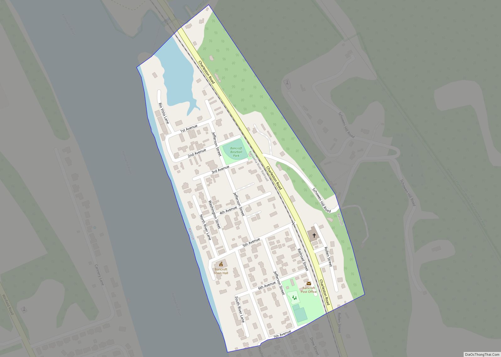
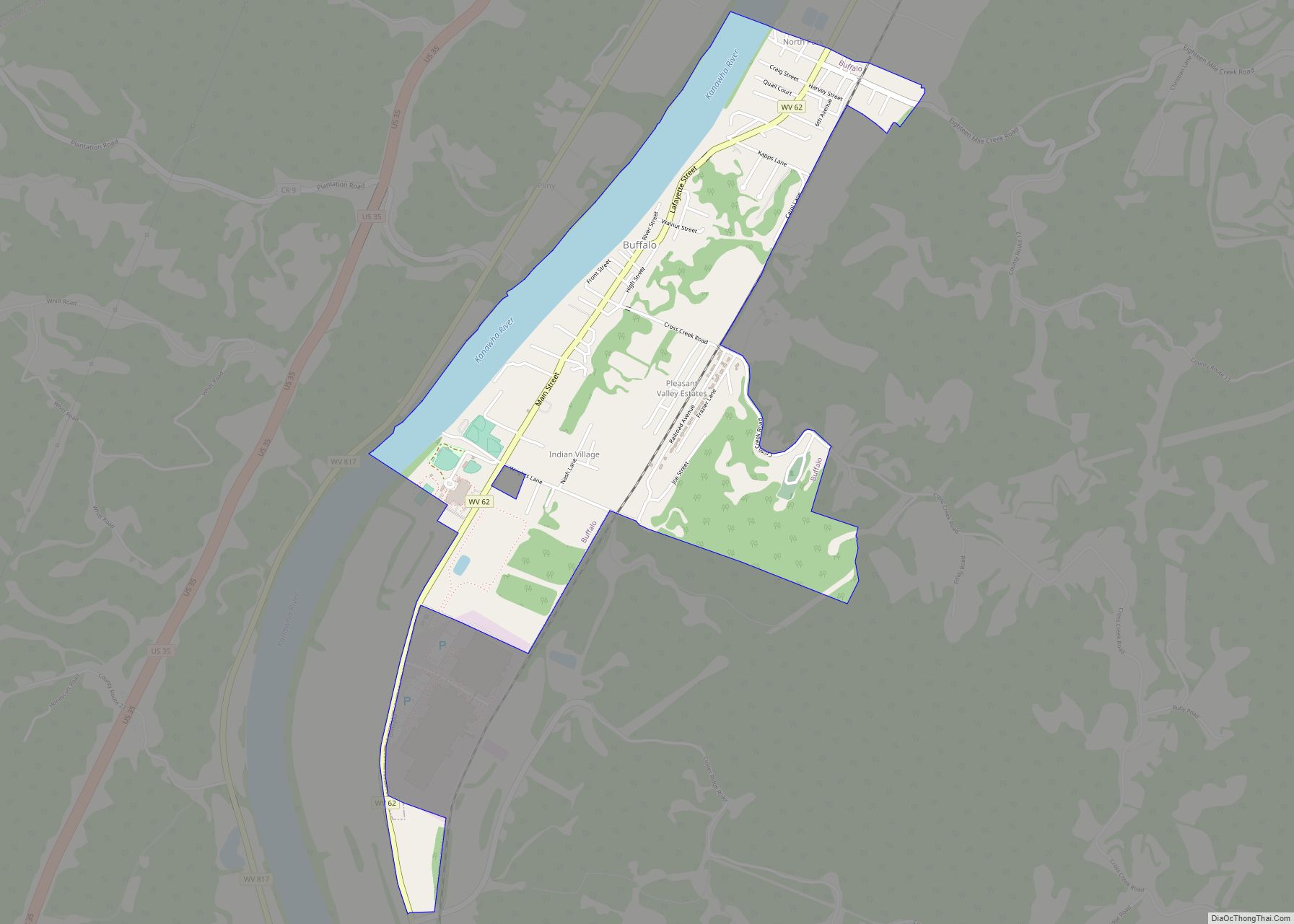
Buffalo is a town in Putnam County, West Virginia, United States, located along the Kanawha River. The population was 1,211 at the time of the 2020 census It is part of the Huntington–Ashland metropolitan area.
| Name: | Buffalo town |
|---|---|
| LSAD Code: | 43 |
| LSAD Description: | town (suffix) |
| State: | West Virginia |
| County: | Putnam County |
| Elevation: | 568 ft (173 m) |
| Total Area: | 1.65 sq mi (4.26 km²) |
| Land Area: | 1.40 sq mi (3.63 km²) |
| Water Area: | 0.25 sq mi (0.64 km²) |
| Total Population: | 1,211 |
| Population Density: | 900.00/sq mi (347.52/km²) |
| ZIP code: | 25033 |
| Area code: | 304 |
| FIPS code: | 5411284 |
| GNISfeature ID: | 1536615 |
| Website: | buffalo.wv.gov |
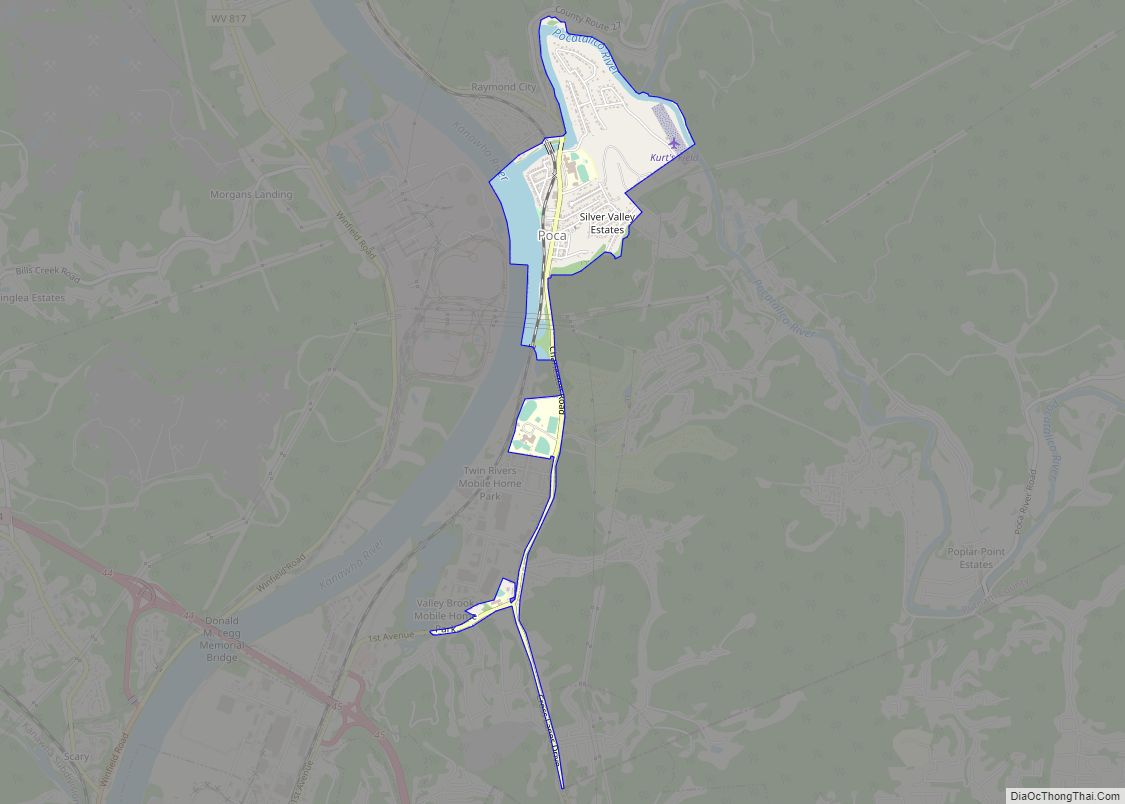
Online Interactive Map
Click on ![]() to view map in "full screen" mode.
to view map in "full screen" mode.
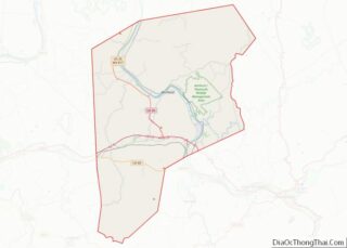
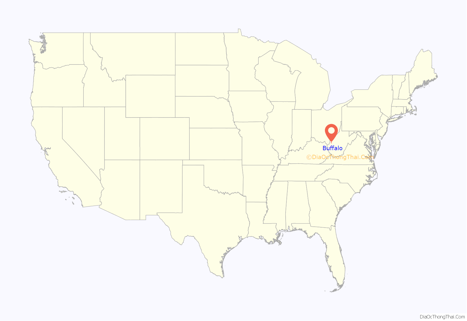
Buffalo location map. Where is Buffalo town?

History
Along with numerous sites in the Kanawha River Valley, Buffalo was originally settled by waves of ancient cultures of prehistoric indigenous peoples. Clovis points indicate the presence of inhabitants more than 10,000 years ago. One of the last cultures, that of the Fort Ancient people, had a few villages such as Buffalo and Marmet that survived into the time of European exploration.
Historic tribes such as the Huron, from the Great Lakes region, and the Conoy (also spelled Conois and Kanawha) were driven out of the central valley by Iroquois’ invading from their base in present-day Western New York. Many of the Conoy by the early-17th century had resettled on the west side of the Chesapeake Bay and below the Potomac River. After decades of encroachment by English colonists, surviving Conoy (also called Piscataway by then) went north to Pennsylvania and allied with the Susquehannock and Iroquois.
The town was named after the American buffalo which once roamed here.
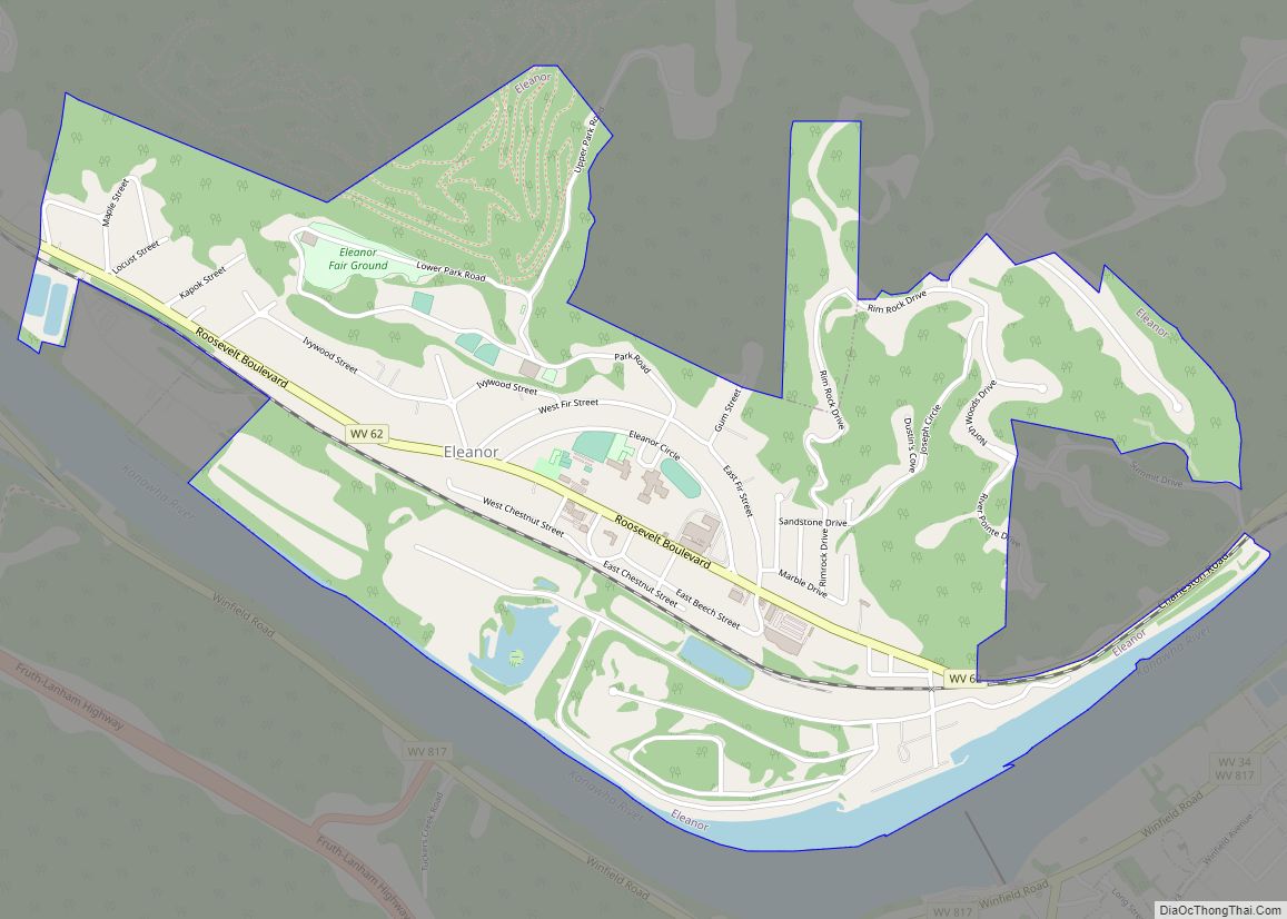
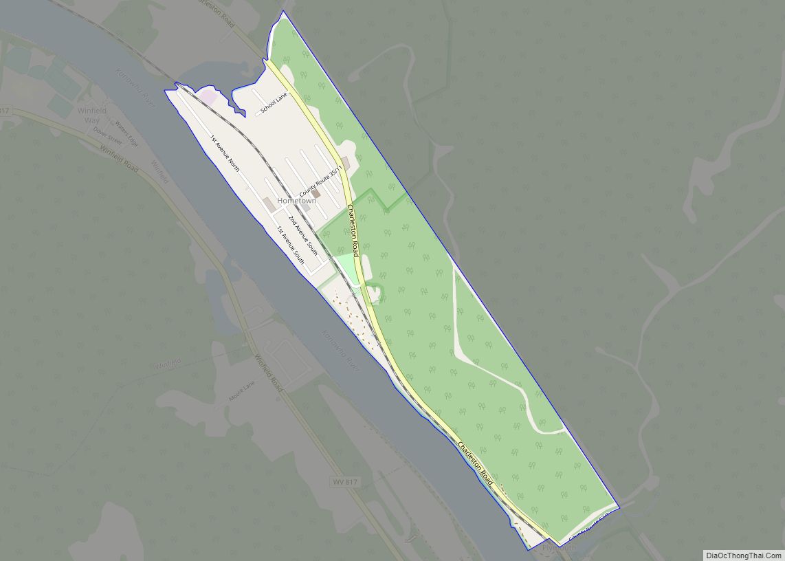
Buffalo Road Map
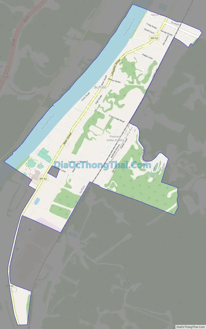
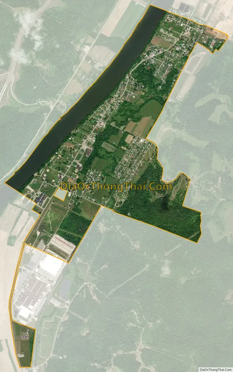
Buffalo city Satellite Map
Geography
Buffalo is located at 38°37′1″N 81°58′48″W / 38.61694°N 81.98000°W / 38.61694; -81.98000 (38.616994, -81.979938).
According to the United States Census Bureau, the town has a total area of 1.65 square miles (4.27 km), of which 1.40 square miles (3.63 km) is land and 0.25 square miles (0.65 km) is water.
See also
Map of West Virginia State and its subdivision:- Barbour
- Berkeley
- Boone
- Braxton
- Brooke
- Cabell
- Calhoun
- Clay
- Doddridge
- Fayette
- Gilmer
- Grant
- Greenbrier
- Hampshire
- Hancock
- Hardy
- Harrison
- Jackson
- Jefferson
- Kanawha
- Lewis
- Lincoln
- Logan
- Marion
- Marshall
- Mason
- McDowell
- Mercer
- Mineral
- Mingo
- Monongalia
- Monroe
- Morgan
- Nicholas
- Ohio
- Pendleton
- Pleasants
- Pocahontas
- Preston
- Putnam
- Raleigh
- Randolph
- Ritchie
- Roane
- Summers
- Taylor
- Tucker
- Tyler
- Upshur
- Wayne
- Webster
- Wetzel
- Wirt
- Wood
- Wyoming
- Alabama
- Alaska
- Arizona
- Arkansas
- California
- Colorado
- Connecticut
- Delaware
- District of Columbia
- Florida
- Georgia
- Hawaii
- Idaho
- Illinois
- Indiana
- Iowa
- Kansas
- Kentucky
- Louisiana
- Maine
- Maryland
- Massachusetts
- Michigan
- Minnesota
- Mississippi
- Missouri
- Montana
- Nebraska
- Nevada
- New Hampshire
- New Jersey
- New Mexico
- New York
- North Carolina
- North Dakota
- Ohio
- Oklahoma
- Oregon
- Pennsylvania
- Rhode Island
- South Carolina
- South Dakota
- Tennessee
- Texas
- Utah
- Vermont
- Virginia
- Washington
- West Virginia
- Wisconsin
- Wyoming