Hurricane (/ˈhɜːrʌkɪn/ HUR-uh-kin) is a city in Putnam County, West Virginia, United States. The population was 6,977 at the 2020 census. Located roughly equidistant from Charleston and Huntington, it is part of the Huntington–Ashland metropolitan area.
| Name: | Hurricane city |
|---|---|
| LSAD Code: | 25 |
| LSAD Description: | city (suffix) |
| State: | West Virginia |
| County: | Putnam County |
| Elevation: | 705 ft (215 m) |
| Total Area: | 3.78 sq mi (9.78 km²) |
| Land Area: | 3.74 sq mi (9.70 km²) |
| Water Area: | 0.03 sq mi (0.08 km²) |
| Total Population: | 6,977 |
| Population Density: | 1,717.41/sq mi (663.15/km²) |
| ZIP code: | 25526 |
| Area code: | 304, 681 |
| FIPS code: | 5439532 |
| GNISfeature ID: | 1554759 |
| Website: | http://www.hurricanewv.com/ |
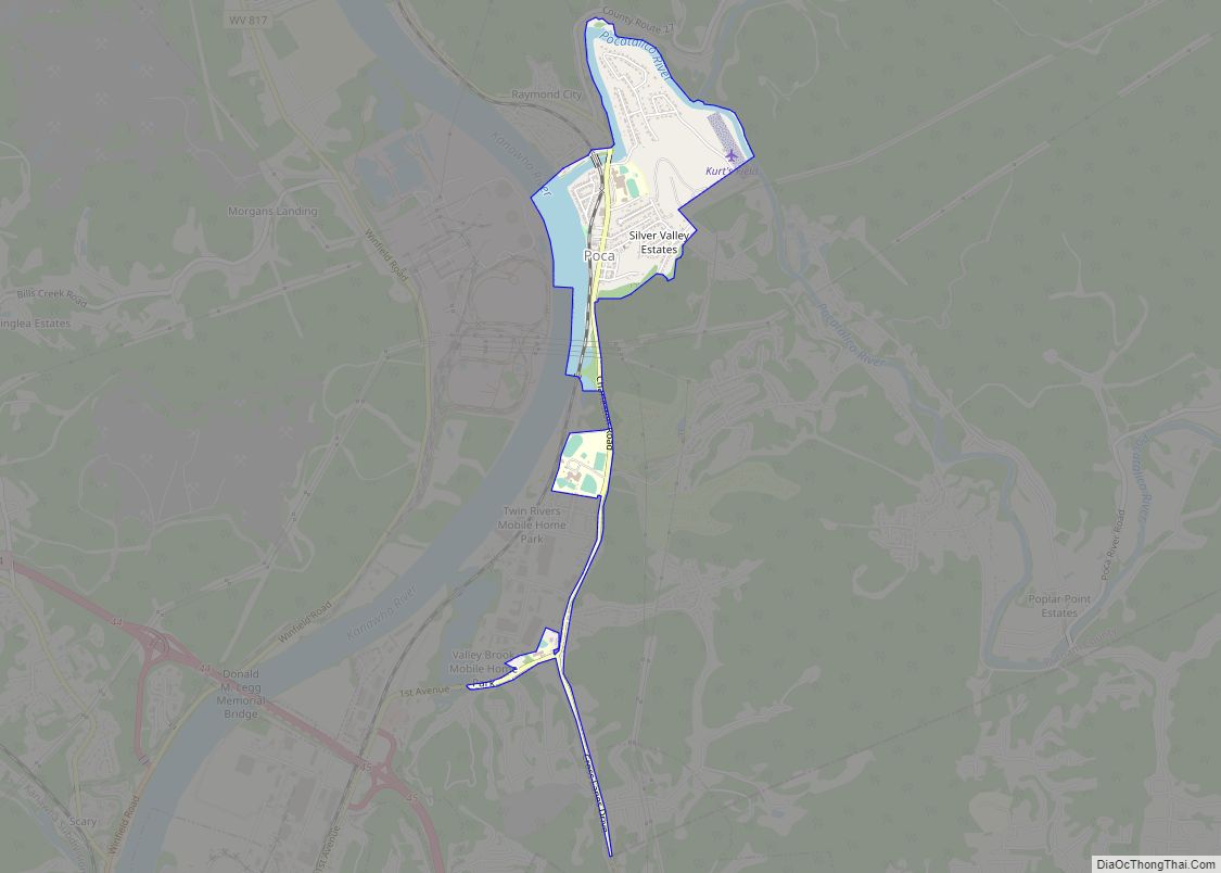
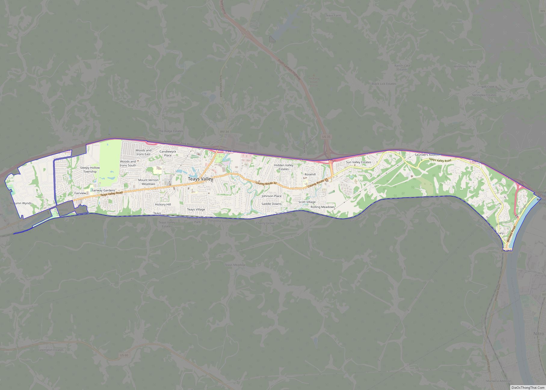
Online Interactive Map
Click on ![]() to view map in "full screen" mode.
to view map in "full screen" mode.
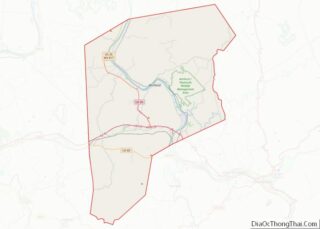
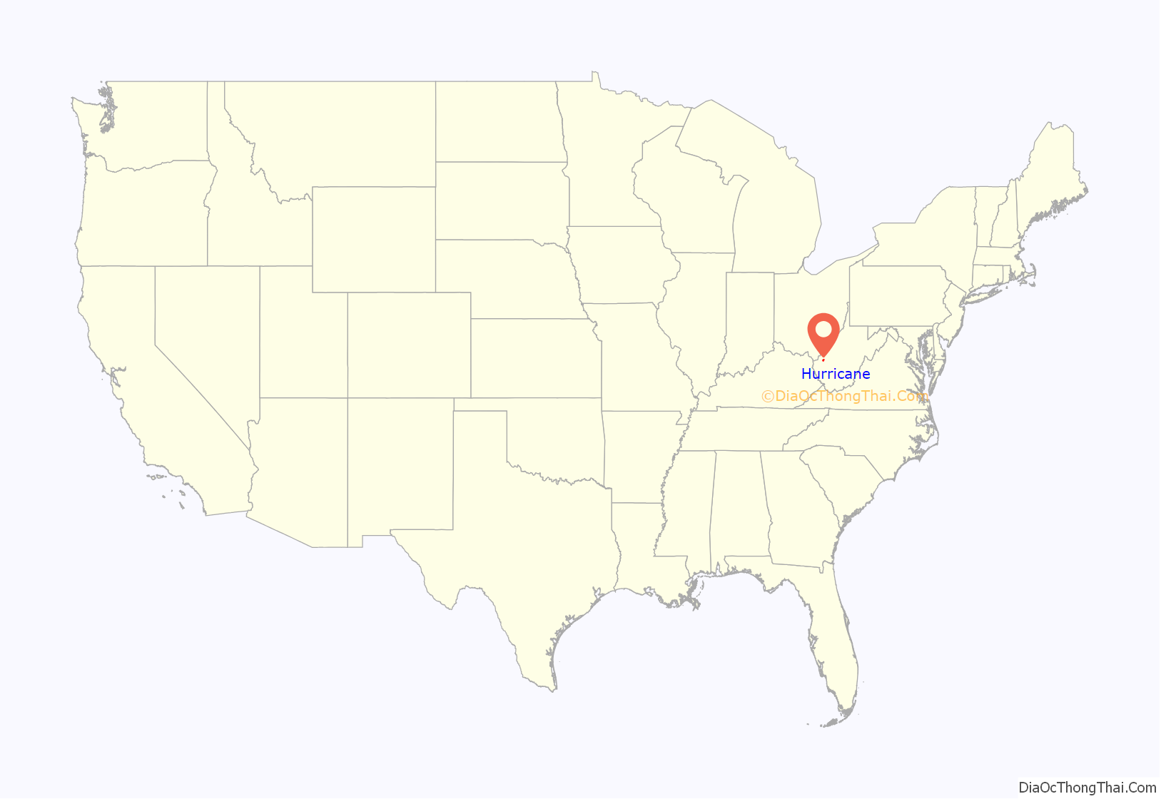
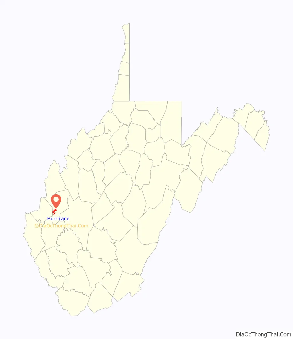
Hurricane location map. Where is Hurricane city?
History
Hurricane was named after Hurricane Creek, which was, in turn, named after a group of trees at the arm of the river bent in one direction. A party of surveyors commissioned by George Washington noted the site appeared to have been struck by a hurricane, giving rise to the name. Locals pronounce the town (HURR-i-KINN) not (HURR-i-CANE). Less than 17 miles (27 km) southeast of Hurricane is a post office named Tornado.
A town named Hurricane Bridge was located where West Virginia Route 34 now crosses the creek, near current-day Hurricane. The town can be traced back to an 1811 Virginia map. The town primarily consisted of a large Inn. On March 28, 1863, Union and Confederate forces fought a Civil War battle at Hurricane Bridge, now known as the Battle of Hurricane Bridge.
Hurricane itself can be traced back to 1873, when a railroad track was laid through the town and a small depot was constructed. It was during this period that Main Street developed, along with other businesses in the area. Hurricane was a trading and residential town for tobacco growers and other farmers in the early 1900s. The fire department was established March 2, 1936. It was incorporated as a town in 1889, and as a city in the 1970s.
The three oldest continuously operating businesses are:
- The Hurricane Breeze, a weekly newspaper established October 1900.
- Putnam County Bank, established October 25, 1901.
- Rappold’s Barber Shop, established June 1906.
In the early 1990s, the old depot, which once served as the catalyst for the town’s development, was torn down and replaced with a small gazebo. It was also during the 1990s that the city began to see a surge in urban growth as several subdivisions were established in the city limits. The population increase resulted in the widening of Route 34, a connecting road to Teays Valley, and an expansion of Hurricane High School.
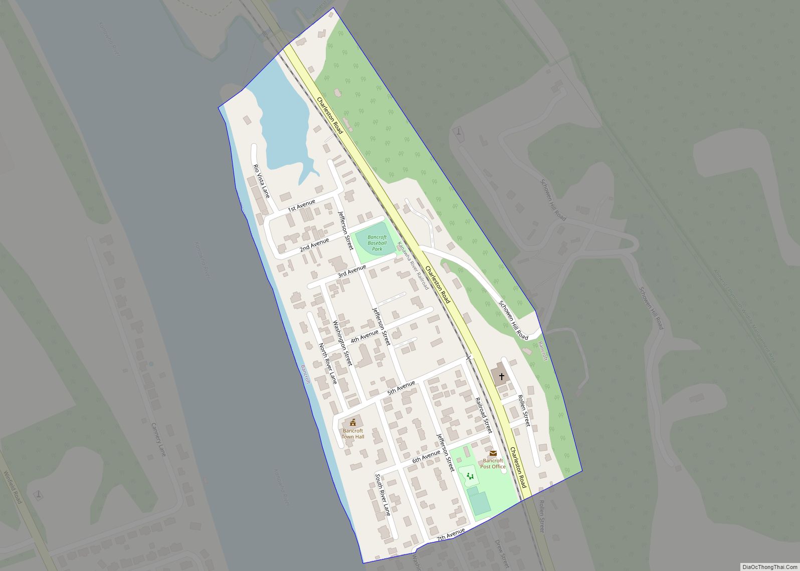
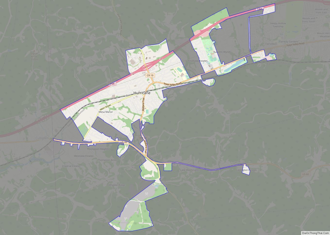
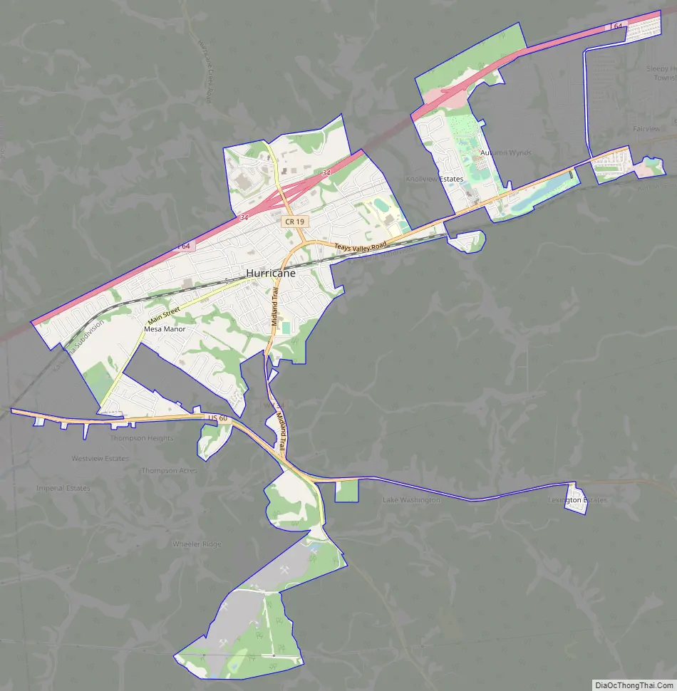
Hurricane Road Map
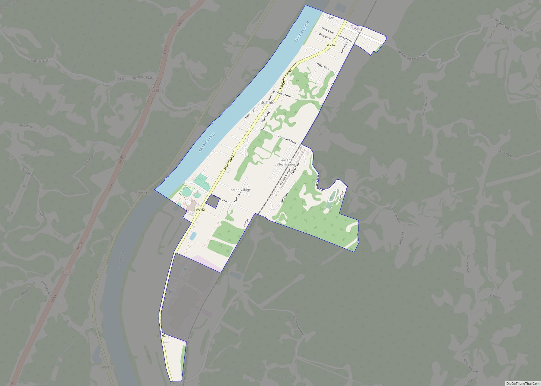
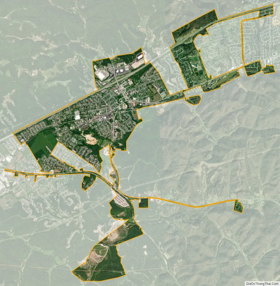
Hurricane city Satellite Map
Geography
Hurricane is located at 38°25′57″N 82°1′11″W / 38.43250°N 82.01972°W / 38.43250; -82.01972 (38.432483, -82.019718).
According to the United States Census Bureau, the city has a total area of 3.77 square miles (9.76 km), of which 3.74 square miles (9.69 km) is land and 0.03 square miles (0.08 km) is water. Hurricane is also unique as it sits on a very active rift.
See also
Map of West Virginia State and its subdivision:- Barbour
- Berkeley
- Boone
- Braxton
- Brooke
- Cabell
- Calhoun
- Clay
- Doddridge
- Fayette
- Gilmer
- Grant
- Greenbrier
- Hampshire
- Hancock
- Hardy
- Harrison
- Jackson
- Jefferson
- Kanawha
- Lewis
- Lincoln
- Logan
- Marion
- Marshall
- Mason
- McDowell
- Mercer
- Mineral
- Mingo
- Monongalia
- Monroe
- Morgan
- Nicholas
- Ohio
- Pendleton
- Pleasants
- Pocahontas
- Preston
- Putnam
- Raleigh
- Randolph
- Ritchie
- Roane
- Summers
- Taylor
- Tucker
- Tyler
- Upshur
- Wayne
- Webster
- Wetzel
- Wirt
- Wood
- Wyoming
- Alabama
- Alaska
- Arizona
- Arkansas
- California
- Colorado
- Connecticut
- Delaware
- District of Columbia
- Florida
- Georgia
- Hawaii
- Idaho
- Illinois
- Indiana
- Iowa
- Kansas
- Kentucky
- Louisiana
- Maine
- Maryland
- Massachusetts
- Michigan
- Minnesota
- Mississippi
- Missouri
- Montana
- Nebraska
- Nevada
- New Hampshire
- New Jersey
- New Mexico
- New York
- North Carolina
- North Dakota
- Ohio
- Oklahoma
- Oregon
- Pennsylvania
- Rhode Island
- South Carolina
- South Dakota
- Tennessee
- Texas
- Utah
- Vermont
- Virginia
- Washington
- West Virginia
- Wisconsin
- Wyoming