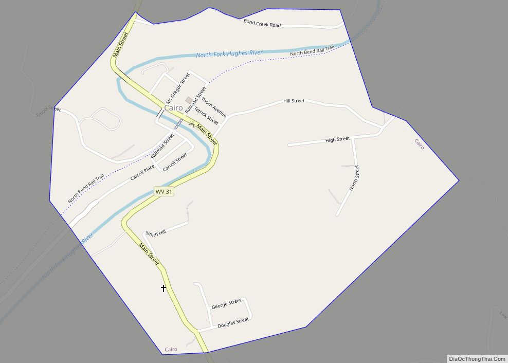
Cairo (/ˈkɛəroʊ/ KAIR-oh) is a town in Ritchie County, West Virginia, United States, along West Virginia Route 31, the North Fork of the Hughes River, and the North Bend Rail Trail. The population was 174 at the 2020 census.
| Name: | Cairo town |
|---|---|
| LSAD Code: | 43 |
| LSAD Description: | town (suffix) |
| State: | West Virginia |
| County: | Ritchie County |
| Elevation: | 653 ft (199 m) |
| Total Area: | 0.49 sq mi (1.26 km²) |
| Land Area: | 0.47 sq mi (1.22 km²) |
| Water Area: | 0.01 sq mi (0.04 km²) |
| Total Population: | 174 |
| Population Density: | 538.14/sq mi (207.65/km²) |
| ZIP code: | 26337 |
| Area code: | 304 |
| FIPS code: | 5412124 |
| GNISfeature ID: | 1536852 |
Online Interactive Map
Click on ![]() to view map in "full screen" mode.
to view map in "full screen" mode.
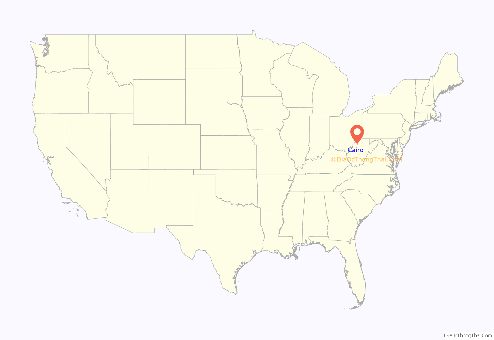
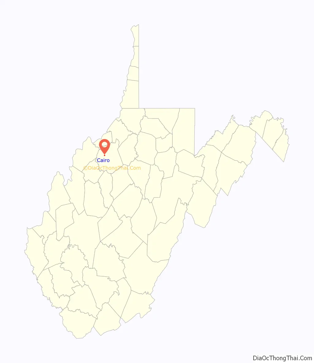
Cairo location map. Where is Cairo town?
History
The town was named by its earliest settlers, who were Scots Presbyterians, for the city of Cairo, Egypt, owing to the presence of water and fertile land at the site. Cairo was incorporated in 1895. The North Bend Rail Trail passes through the town.
The former Bank of Cairo building, now Cairo Town Hall, was listed on the National Register of Historic Places in 1996.
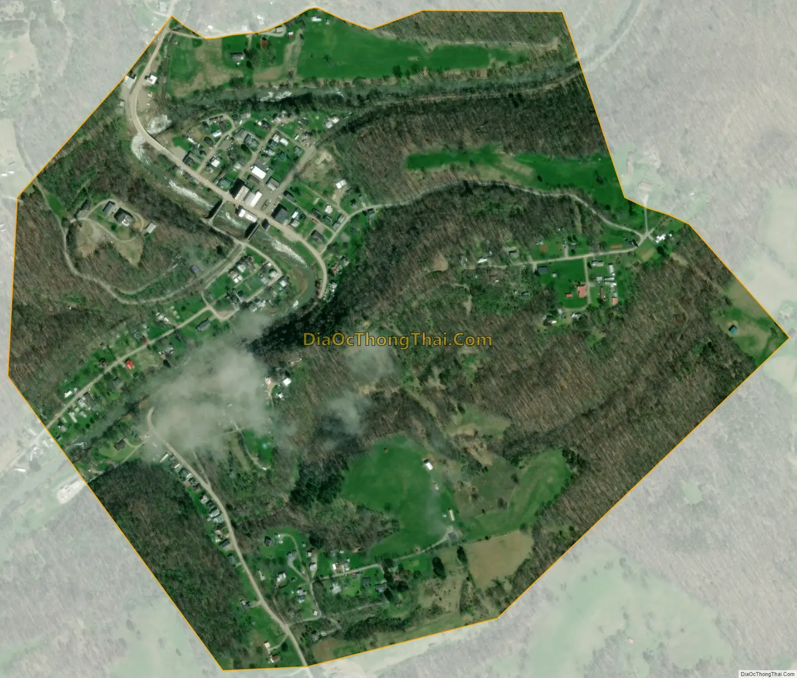
Cairo Road Map

Cairo city Satellite Map
Geography
Cairo is located at 39°12′30″N 81°9′24″W / 39.20833°N 81.15667°W / 39.20833; -81.15667 (39.208264, -81.156600).
According to the United States Census Bureau, the town has a total area of 0.48 square miles (1.24 km), of which 0.47 square miles (1.22 km) is land and 0.01 square miles (0.03 km) is water.
See also
Map of West Virginia State and its subdivision:- Barbour
- Berkeley
- Boone
- Braxton
- Brooke
- Cabell
- Calhoun
- Clay
- Doddridge
- Fayette
- Gilmer
- Grant
- Greenbrier
- Hampshire
- Hancock
- Hardy
- Harrison
- Jackson
- Jefferson
- Kanawha
- Lewis
- Lincoln
- Logan
- Marion
- Marshall
- Mason
- McDowell
- Mercer
- Mineral
- Mingo
- Monongalia
- Monroe
- Morgan
- Nicholas
- Ohio
- Pendleton
- Pleasants
- Pocahontas
- Preston
- Putnam
- Raleigh
- Randolph
- Ritchie
- Roane
- Summers
- Taylor
- Tucker
- Tyler
- Upshur
- Wayne
- Webster
- Wetzel
- Wirt
- Wood
- Wyoming
- Alabama
- Alaska
- Arizona
- Arkansas
- California
- Colorado
- Connecticut
- Delaware
- District of Columbia
- Florida
- Georgia
- Hawaii
- Idaho
- Illinois
- Indiana
- Iowa
- Kansas
- Kentucky
- Louisiana
- Maine
- Maryland
- Massachusetts
- Michigan
- Minnesota
- Mississippi
- Missouri
- Montana
- Nebraska
- Nevada
- New Hampshire
- New Jersey
- New Mexico
- New York
- North Carolina
- North Dakota
- Ohio
- Oklahoma
- Oregon
- Pennsylvania
- Rhode Island
- South Carolina
- South Dakota
- Tennessee
- Texas
- Utah
- Vermont
- Virginia
- Washington
- West Virginia
- Wisconsin
- Wyoming