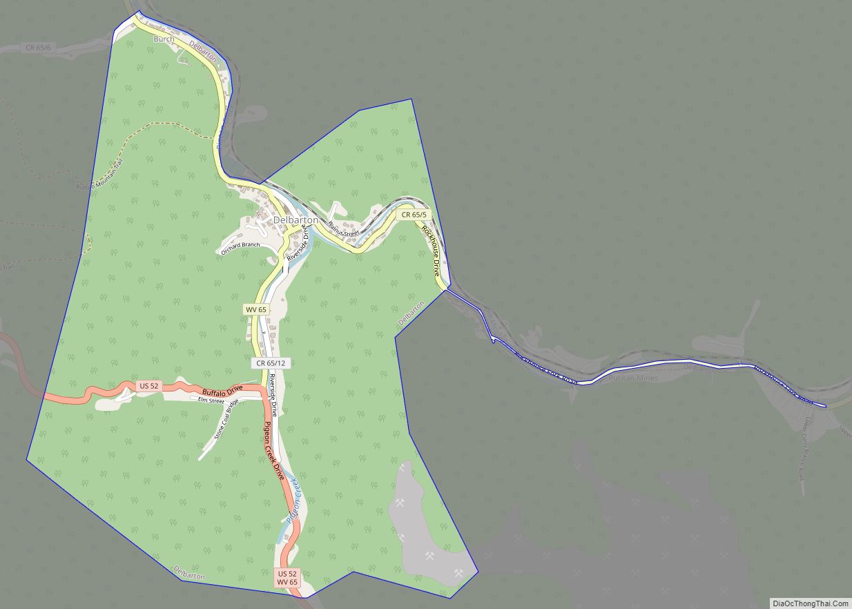
Delbarton is a town in Mingo County, West Virginia, United States. The population was 522 at the 2020 census.
| Name: | Delbarton town |
|---|---|
| LSAD Code: | 43 |
| LSAD Description: | town (suffix) |
| State: | West Virginia |
| County: | Mingo County |
| Elevation: | 764 ft (233 m) |
| Total Area: | 1.99 sq mi (5.15 km²) |
| Land Area: | 1.99 sq mi (5.15 km²) |
| Water Area: | 0.00 sq mi (0.00 km²) |
| Total Population: | 579 |
| Population Density: | 250.13/sq mi (96.57/km²) |
| ZIP code: | 25670 |
| Area code: | 304 |
| FIPS code: | 5420980 |
| GNISfeature ID: | 1538117 |
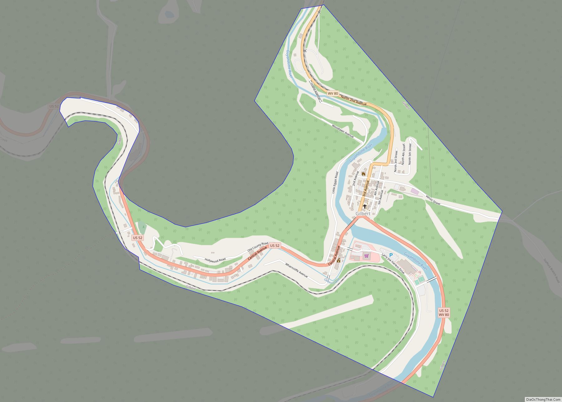
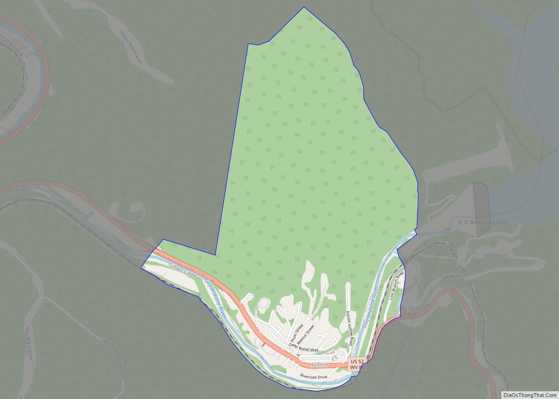
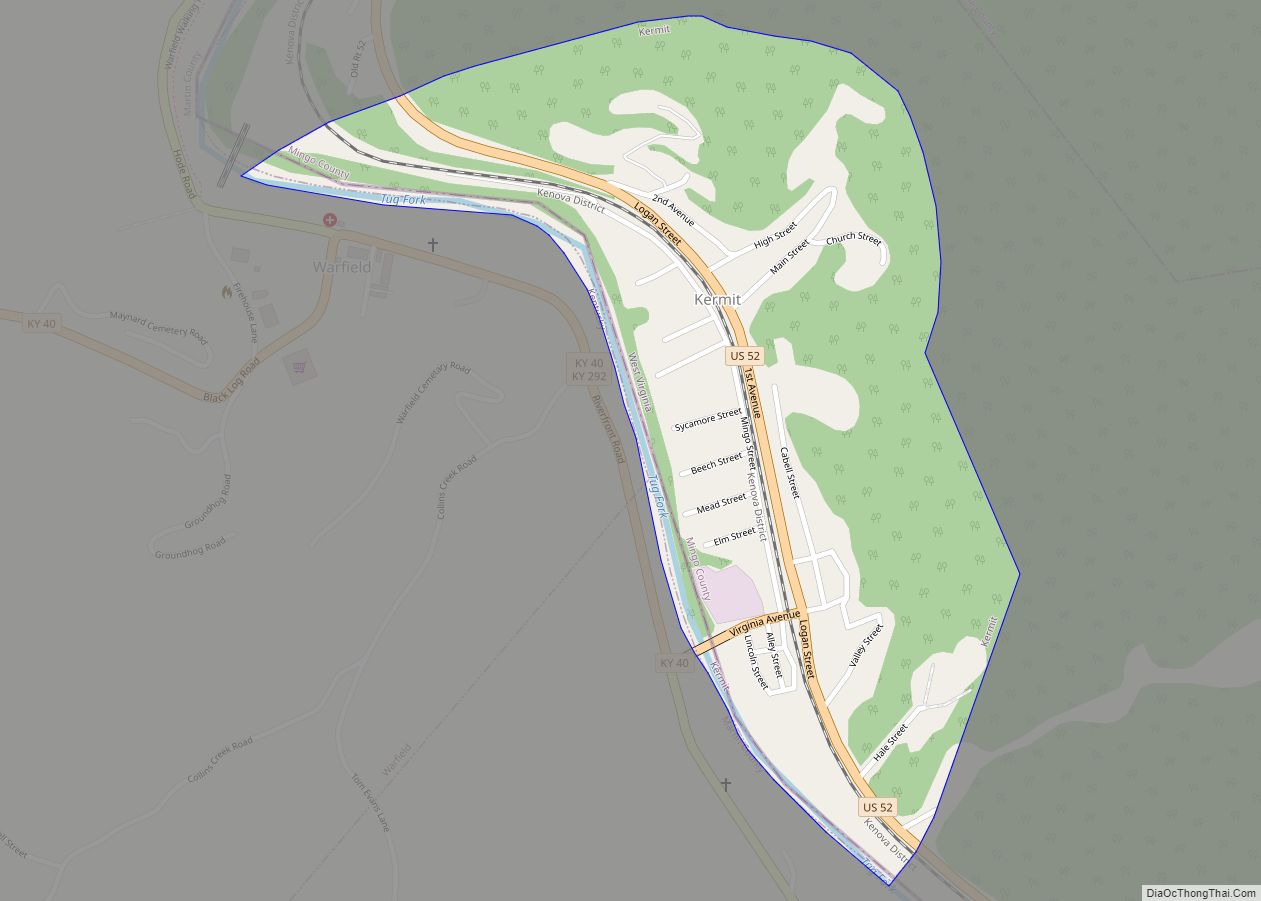
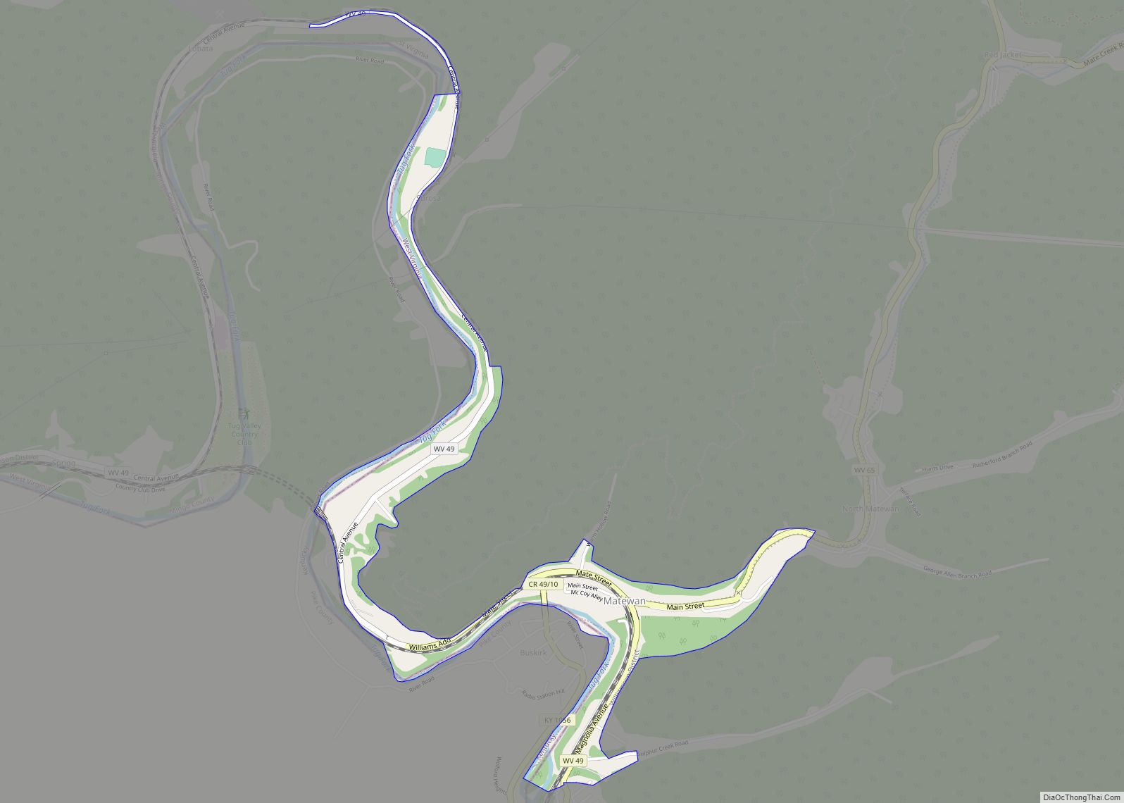
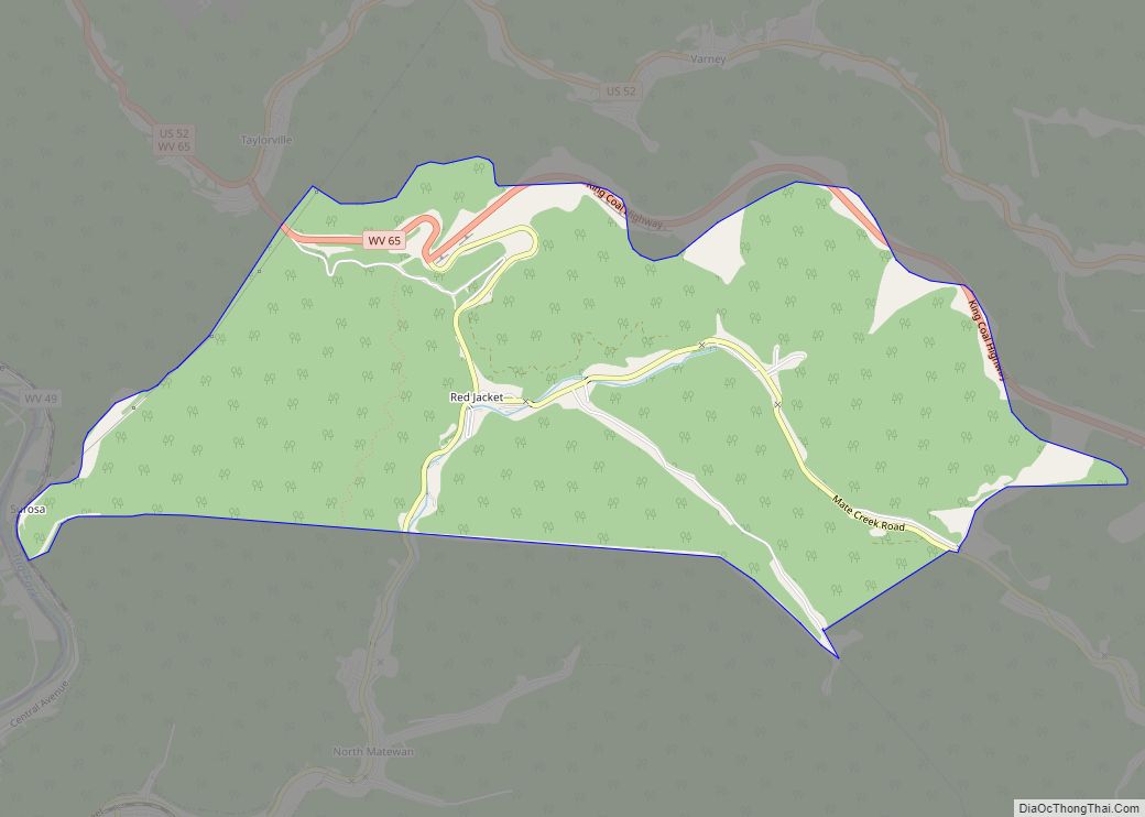
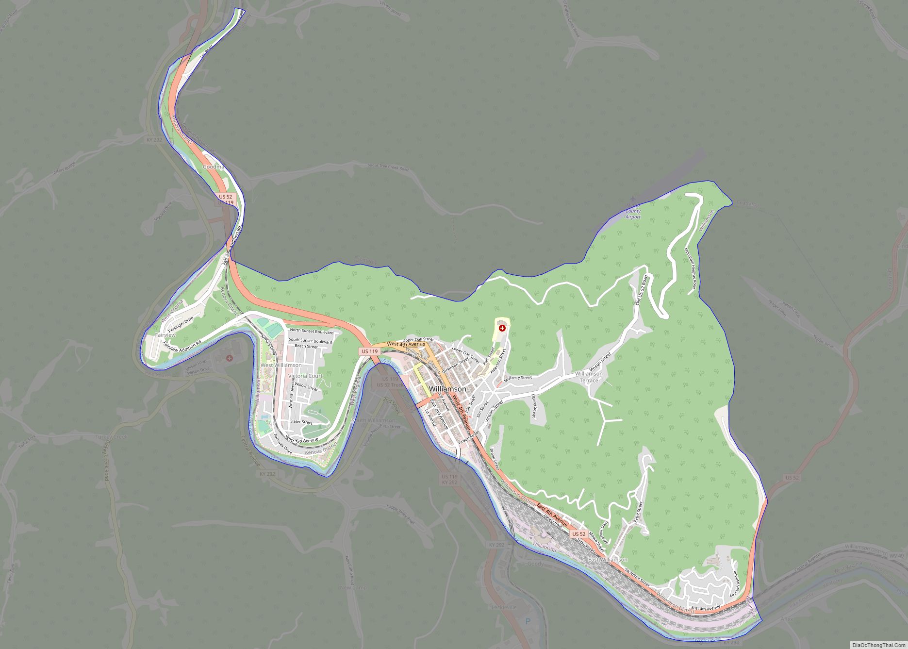
Online Interactive Map
Click on ![]() to view map in "full screen" mode.
to view map in "full screen" mode.
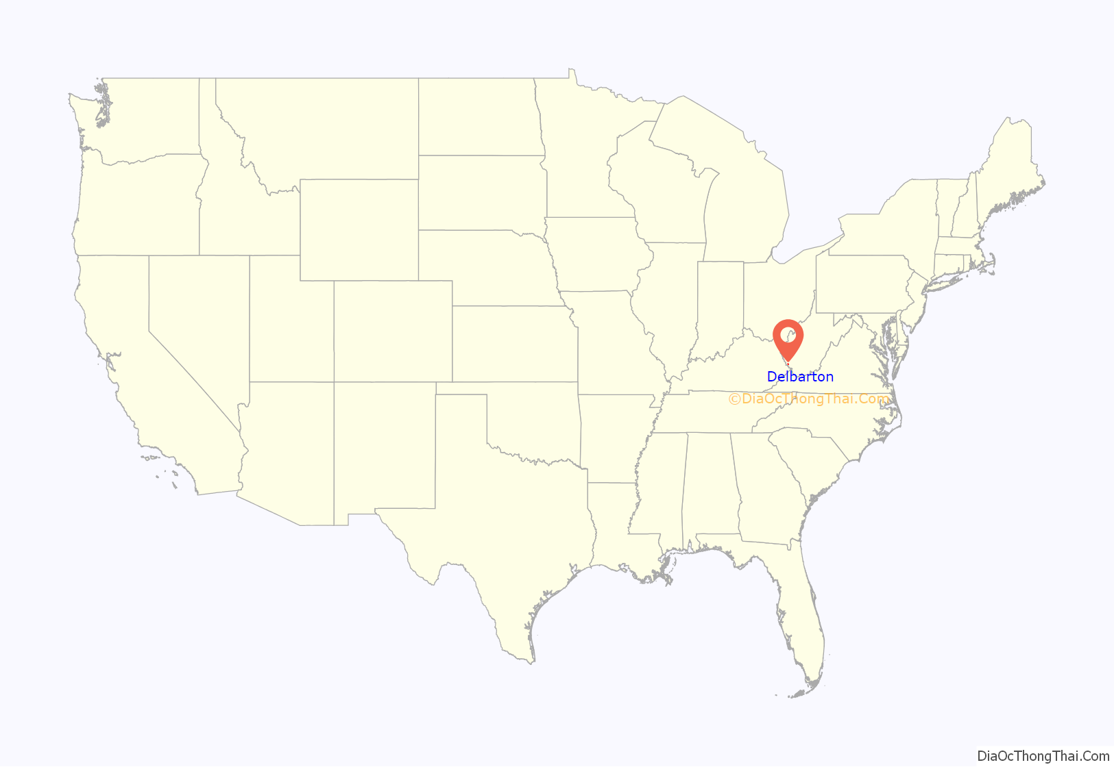
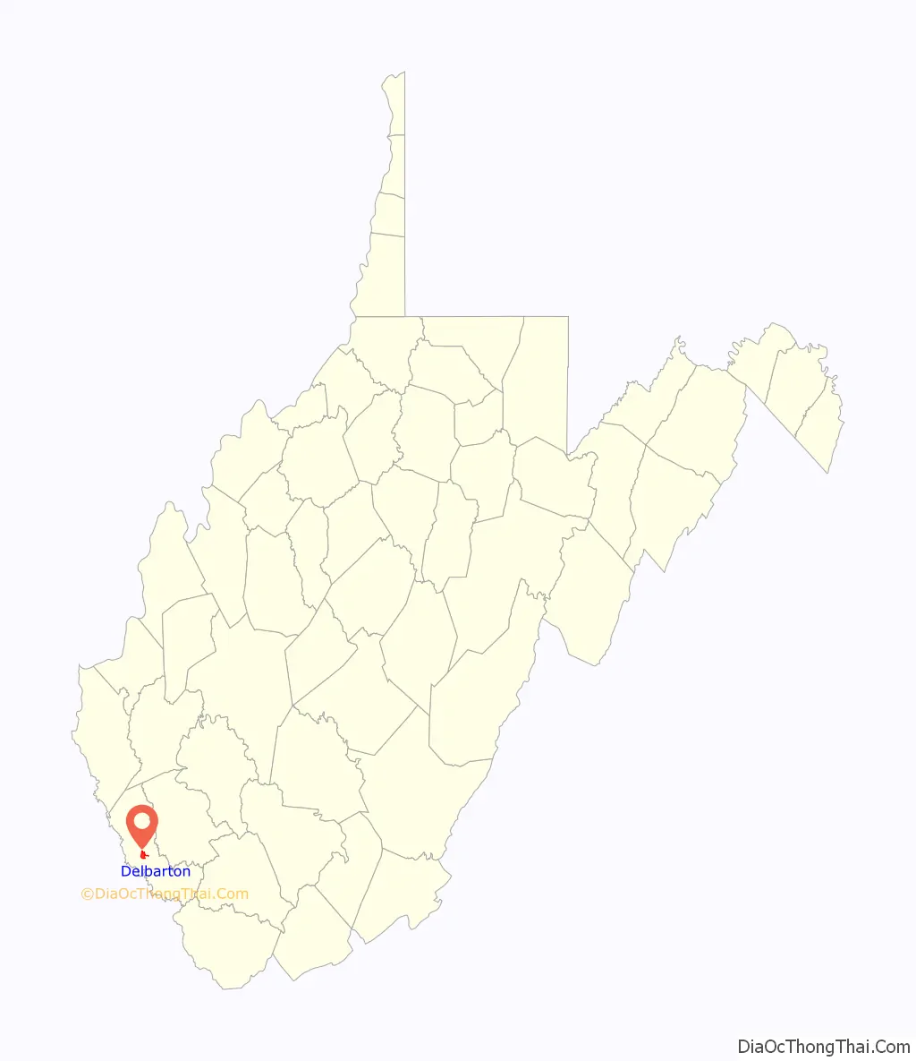
Delbarton location map. Where is Delbarton town?
History
Delbarton was incorporated September 6, 1946, by the Mingo County Circuit Court.
The name Delbarton comes from the New Jersey country estate of Luther Kountze, a Wall Street financier and part owner of the United Thacker Land Company, a large coal mining company. Currently a Catholic high school with the same moniker, the Delbarton School, is located on this site. The estate and town and school all derive their name from a portmanteau of syllables in the names of Kountze’s three children (DELancey, BARclay and LivingsTON).
Prior to being incorporated as a town, Delbarton was a coal camp built and owned by the Thacker company. Thacker needed such camps; soon after, in 1909, acting for the company, Luther Kountze arranged the purchase of thousands of acres in the area from Jane Hatfield, a woman widowed by the murder of her husband, Ellison Hatfield in the famed Hatfield-McCoy Feud. Jane required money for herself and her children and sold cheaply, unaware of the fantastic mineral wealth she was losing out on. After this acquisition of land Delbarton, was created for the needed miners who were recruited and brought in to work the soon to be opened coal mines.
The town is located in the heart of the richest coal area of the state, the Williamson Coalfield.
Poverty is endemic in the town of Delbarton, as it is in Mingo County where it is located. US Census Bureau estimates as of 2018 put the residents living below the poverty line percentages at 36.5% for Delbarton and 28.7% for Mingo County. These rates compare to 17.8% for West Virginia and 15% for the USA overall. Economists attribute the most significant cause of this high level of poverty to be the drastic decline in the number of jobs in the local coal mining industry. The loss of such employment which has been going on for several decades is blamed on two factors: the reduction in the amount of coal being extracted in the area and the ever increasing use of less labor intensive removal methods for what coal is still mined.
Some commercial buildings in town, no longer needed for their original purposes of retail or mining administration, are now used to cater to the growing tourist industry.
Delbarton Road Map

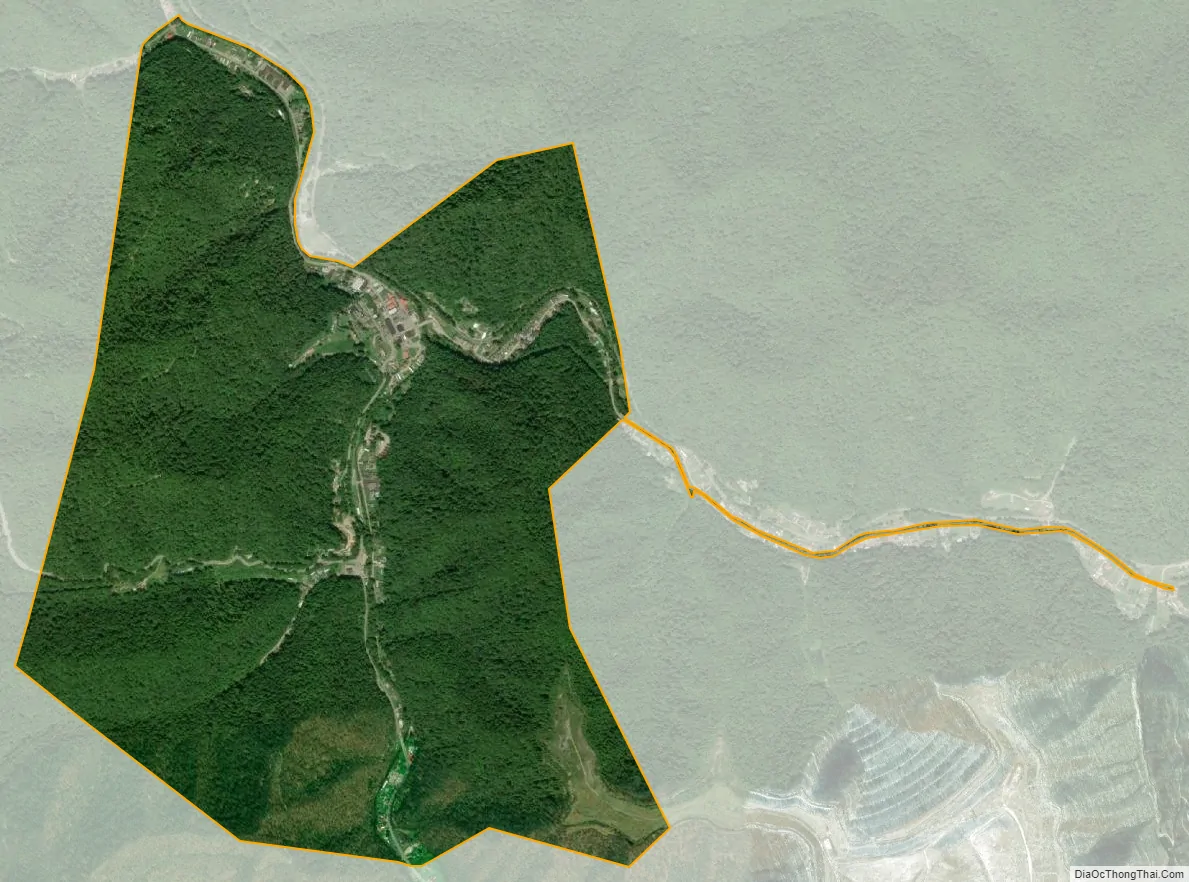
Delbarton city Satellite Map
Geography
According to the United States Census Bureau, the town has a total area of 2.01 square miles (5.21 km), all land.
See also
Map of West Virginia State and its subdivision:- Barbour
- Berkeley
- Boone
- Braxton
- Brooke
- Cabell
- Calhoun
- Clay
- Doddridge
- Fayette
- Gilmer
- Grant
- Greenbrier
- Hampshire
- Hancock
- Hardy
- Harrison
- Jackson
- Jefferson
- Kanawha
- Lewis
- Lincoln
- Logan
- Marion
- Marshall
- Mason
- McDowell
- Mercer
- Mineral
- Mingo
- Monongalia
- Monroe
- Morgan
- Nicholas
- Ohio
- Pendleton
- Pleasants
- Pocahontas
- Preston
- Putnam
- Raleigh
- Randolph
- Ritchie
- Roane
- Summers
- Taylor
- Tucker
- Tyler
- Upshur
- Wayne
- Webster
- Wetzel
- Wirt
- Wood
- Wyoming
- Alabama
- Alaska
- Arizona
- Arkansas
- California
- Colorado
- Connecticut
- Delaware
- District of Columbia
- Florida
- Georgia
- Hawaii
- Idaho
- Illinois
- Indiana
- Iowa
- Kansas
- Kentucky
- Louisiana
- Maine
- Maryland
- Massachusetts
- Michigan
- Minnesota
- Mississippi
- Missouri
- Montana
- Nebraska
- Nevada
- New Hampshire
- New Jersey
- New Mexico
- New York
- North Carolina
- North Dakota
- Ohio
- Oklahoma
- Oregon
- Pennsylvania
- Rhode Island
- South Carolina
- South Dakota
- Tennessee
- Texas
- Utah
- Vermont
- Virginia
- Washington
- West Virginia
- Wisconsin
- Wyoming