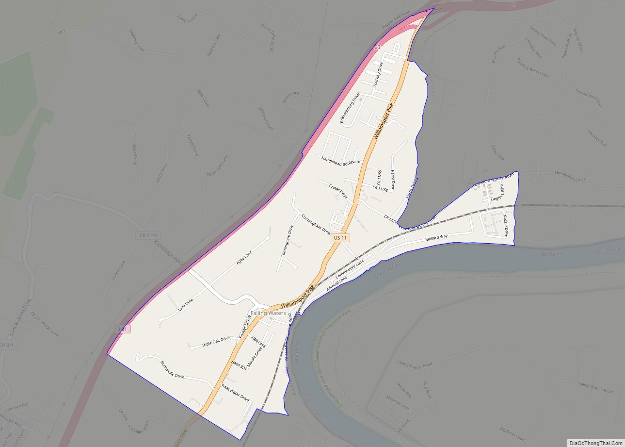
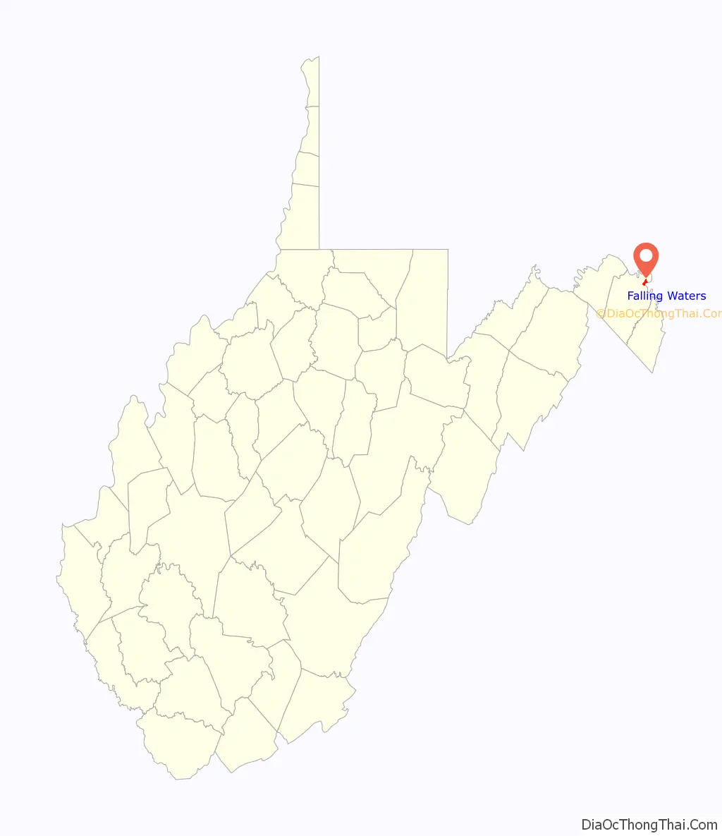
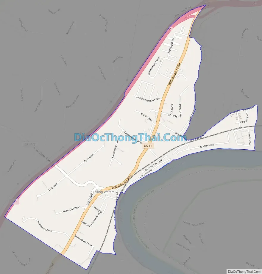
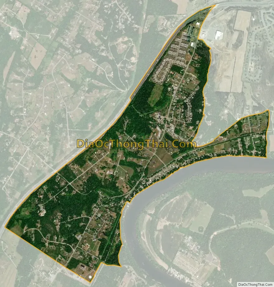
Falling Waters is a census-designated place (CDP) on the Potomac River in Berkeley County, West Virginia, United States. It is located along Williamsport Pike (US 11) north of Martinsburg. According to the 2010 census, Falling Waters has a population of 876. An 1887 Scientific American article claimed that the first U.S. railroad was built in Falling Waters in 1814.
| Name: | Falling Waters CDP |
|---|---|
| LSAD Code: | 57 |
| LSAD Description: | CDP (suffix) |
| State: | West Virginia |
| County: | Berkeley County |
| Total Area: | 1.245 sq mi (3.22 km²) |
| Land Area: | 1.245 sq mi (3.22 km²) |
| Water Area: | 0 sq mi (0 km²) |
| Total Population: | 876 |
| Population Density: | 700/sq mi (270/km²) |
| ZIP code: | 25419 |
| Area code: | 304 |
| FIPS code: | 5426716 |
Online Interactive Map
Click on ![]() to view map in "full screen" mode.
to view map in "full screen" mode.
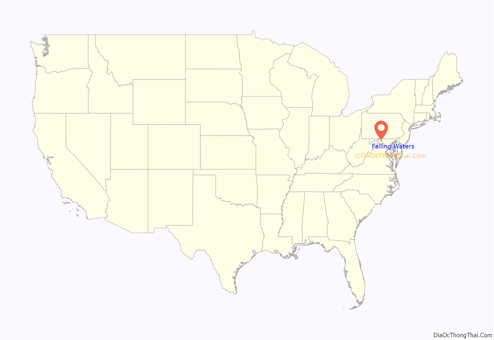
Falling Waters location map. Where is Falling Waters CDP?
History
The community of Falling Waters was established in 1815. Because of its location between Hagerstown and Martinsburg on the Potomac River, Falling Waters is a predominantly residential community with numerous historic residences, some of which are listed on the National Register of Historic Places. However, recently the community has had a boom in new residential construction as many people use Falling Waters as a bedroom community to commute to cities nearby and as far as Washington, D.C. and Baltimore.
Falling Waters Road Map
Falling Waters city Satellite Map
See also
Map of West Virginia State and its subdivision:- Barbour
- Berkeley
- Boone
- Braxton
- Brooke
- Cabell
- Calhoun
- Clay
- Doddridge
- Fayette
- Gilmer
- Grant
- Greenbrier
- Hampshire
- Hancock
- Hardy
- Harrison
- Jackson
- Jefferson
- Kanawha
- Lewis
- Lincoln
- Logan
- Marion
- Marshall
- Mason
- McDowell
- Mercer
- Mineral
- Mingo
- Monongalia
- Monroe
- Morgan
- Nicholas
- Ohio
- Pendleton
- Pleasants
- Pocahontas
- Preston
- Putnam
- Raleigh
- Randolph
- Ritchie
- Roane
- Summers
- Taylor
- Tucker
- Tyler
- Upshur
- Wayne
- Webster
- Wetzel
- Wirt
- Wood
- Wyoming
- Alabama
- Alaska
- Arizona
- Arkansas
- California
- Colorado
- Connecticut
- Delaware
- District of Columbia
- Florida
- Georgia
- Hawaii
- Idaho
- Illinois
- Indiana
- Iowa
- Kansas
- Kentucky
- Louisiana
- Maine
- Maryland
- Massachusetts
- Michigan
- Minnesota
- Mississippi
- Missouri
- Montana
- Nebraska
- Nevada
- New Hampshire
- New Jersey
- New Mexico
- New York
- North Carolina
- North Dakota
- Ohio
- Oklahoma
- Oregon
- Pennsylvania
- Rhode Island
- South Carolina
- South Dakota
- Tennessee
- Texas
- Utah
- Vermont
- Virginia
- Washington
- West Virginia
- Wisconsin
- Wyoming