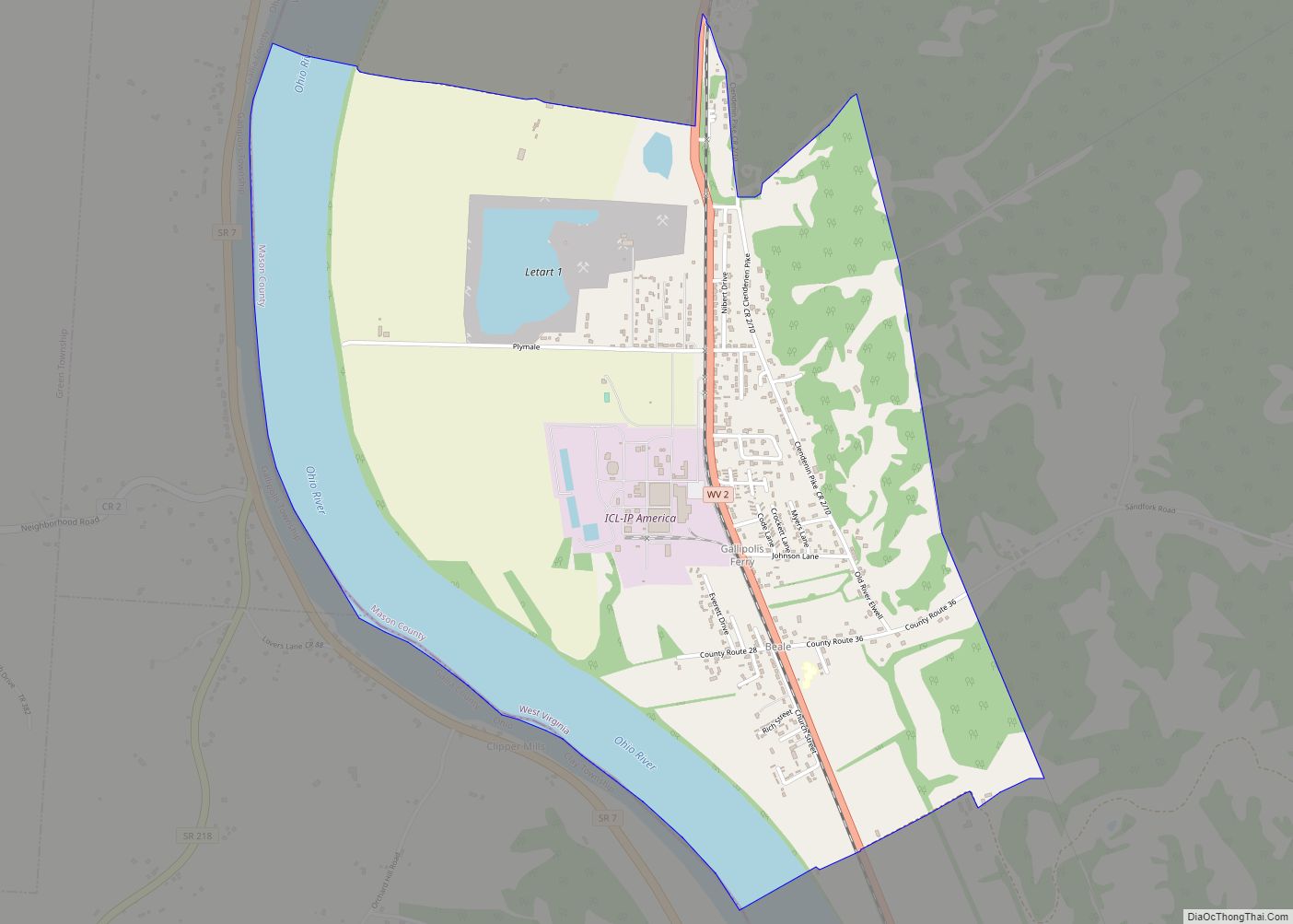
Gallipolis Ferry is a census-designated place (CDP) in Mason County, West Virginia, United States. It is situated on the Ohio River along West Virginia Route 2. As of the 2010 census, its population was 817. It is the site of the Robert C. Byrd Locks & Dam on the Ohio. The community was named for the fact a ferry once provided service between the town site and nearby Gallipolis, Ohio.
The community is part of the Point Pleasant, WV–OH Micropolitan Statistical Area.
| Name: | Gallipolis Ferry CDP |
|---|---|
| LSAD Code: | 57 |
| LSAD Description: | CDP (suffix) |
| State: | West Virginia |
| County: | Mason County |
| Elevation: | 594 ft (181 m) |
| Total Area: | 2.771 sq mi (7.18 km²) |
| Land Area: | 2.275 sq mi (5.89 km²) |
| Water Area: | 0.496 sq mi (1.28 km²) |
| Total Population: | 817 |
| Population Density: | 290/sq mi (110/km²) |
| ZIP code: | 25515 |
| Area code: | 304 & 681 |
| FIPS code: | 5429716 |
| GNISfeature ID: | 1554524 |
Online Interactive Map
Click on ![]() to view map in "full screen" mode.
to view map in "full screen" mode.
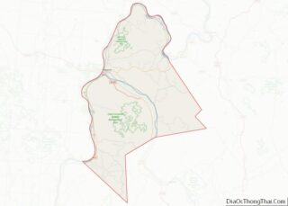
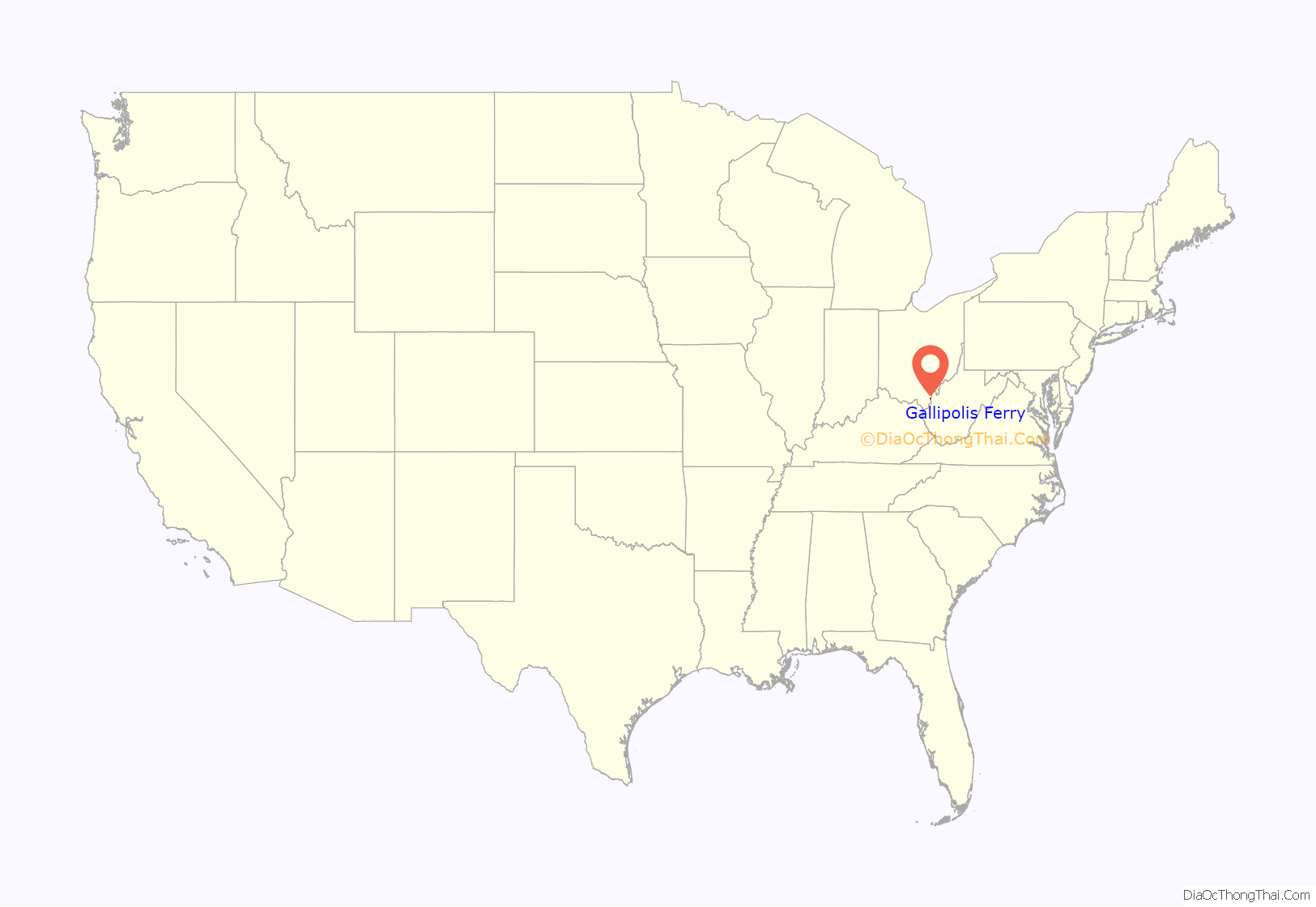
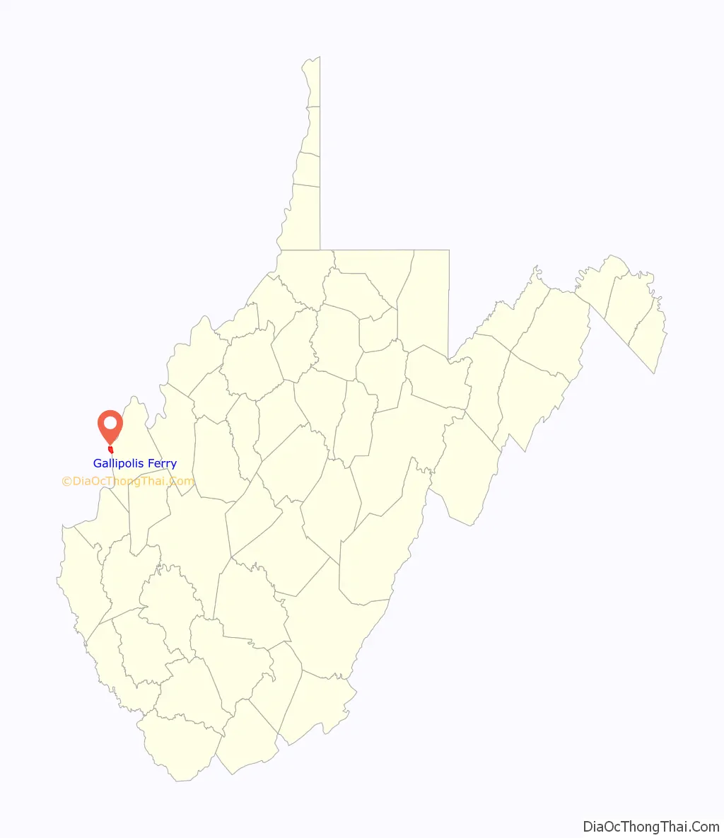
Gallipolis Ferry location map. Where is Gallipolis Ferry CDP?
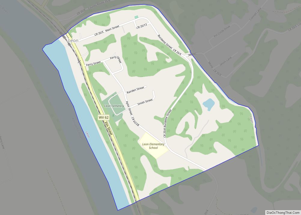
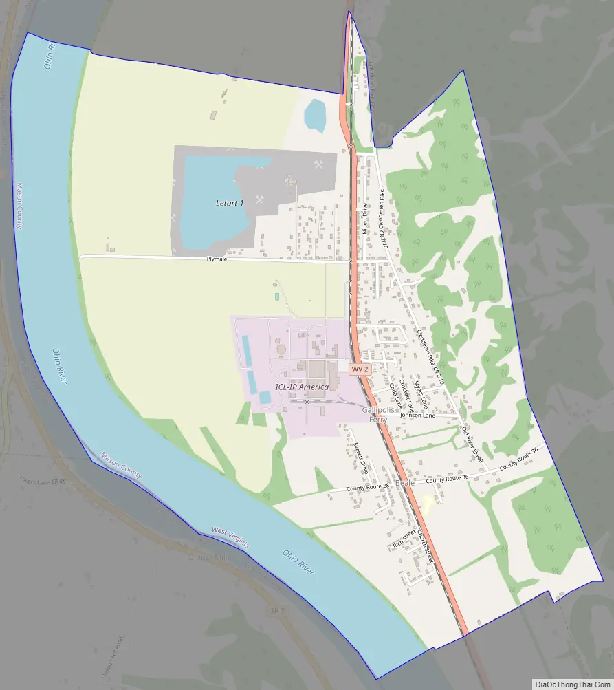
Gallipolis Ferry Road Map
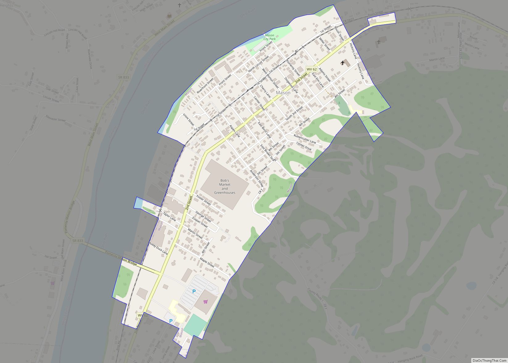
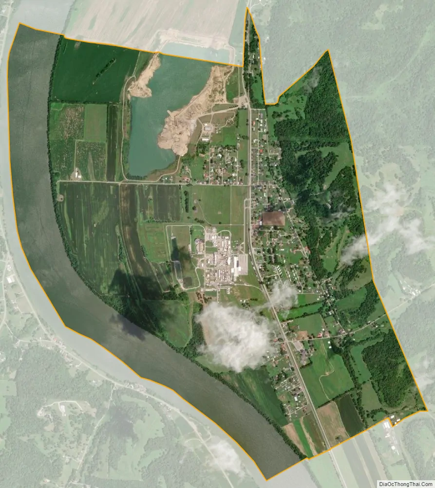
Gallipolis Ferry city Satellite Map
See also
Map of West Virginia State and its subdivision:- Barbour
- Berkeley
- Boone
- Braxton
- Brooke
- Cabell
- Calhoun
- Clay
- Doddridge
- Fayette
- Gilmer
- Grant
- Greenbrier
- Hampshire
- Hancock
- Hardy
- Harrison
- Jackson
- Jefferson
- Kanawha
- Lewis
- Lincoln
- Logan
- Marion
- Marshall
- Mason
- McDowell
- Mercer
- Mineral
- Mingo
- Monongalia
- Monroe
- Morgan
- Nicholas
- Ohio
- Pendleton
- Pleasants
- Pocahontas
- Preston
- Putnam
- Raleigh
- Randolph
- Ritchie
- Roane
- Summers
- Taylor
- Tucker
- Tyler
- Upshur
- Wayne
- Webster
- Wetzel
- Wirt
- Wood
- Wyoming
- Alabama
- Alaska
- Arizona
- Arkansas
- California
- Colorado
- Connecticut
- Delaware
- District of Columbia
- Florida
- Georgia
- Hawaii
- Idaho
- Illinois
- Indiana
- Iowa
- Kansas
- Kentucky
- Louisiana
- Maine
- Maryland
- Massachusetts
- Michigan
- Minnesota
- Mississippi
- Missouri
- Montana
- Nebraska
- Nevada
- New Hampshire
- New Jersey
- New Mexico
- New York
- North Carolina
- North Dakota
- Ohio
- Oklahoma
- Oregon
- Pennsylvania
- Rhode Island
- South Carolina
- South Dakota
- Tennessee
- Texas
- Utah
- Vermont
- Virginia
- Washington
- West Virginia
- Wisconsin
- Wyoming